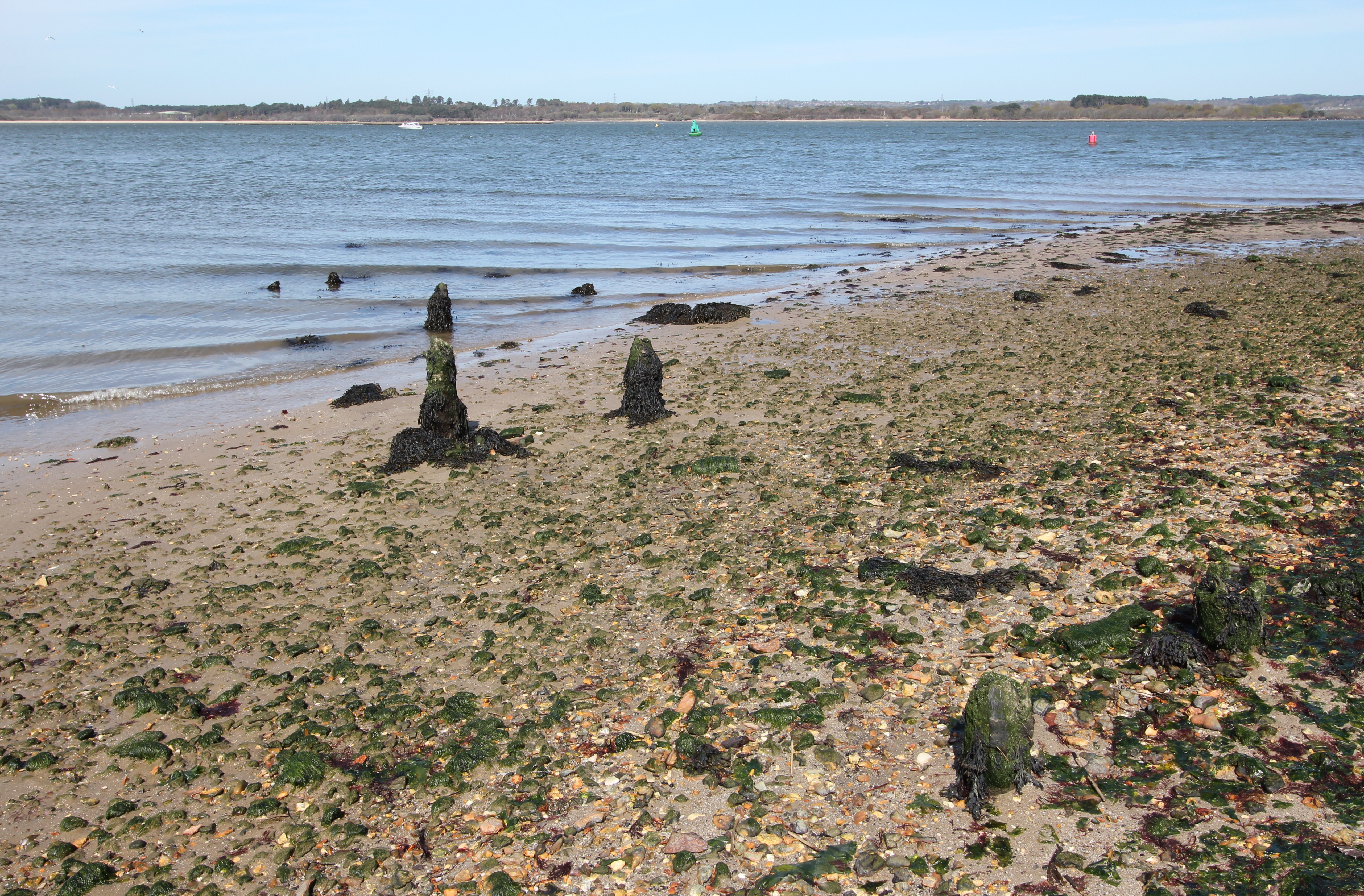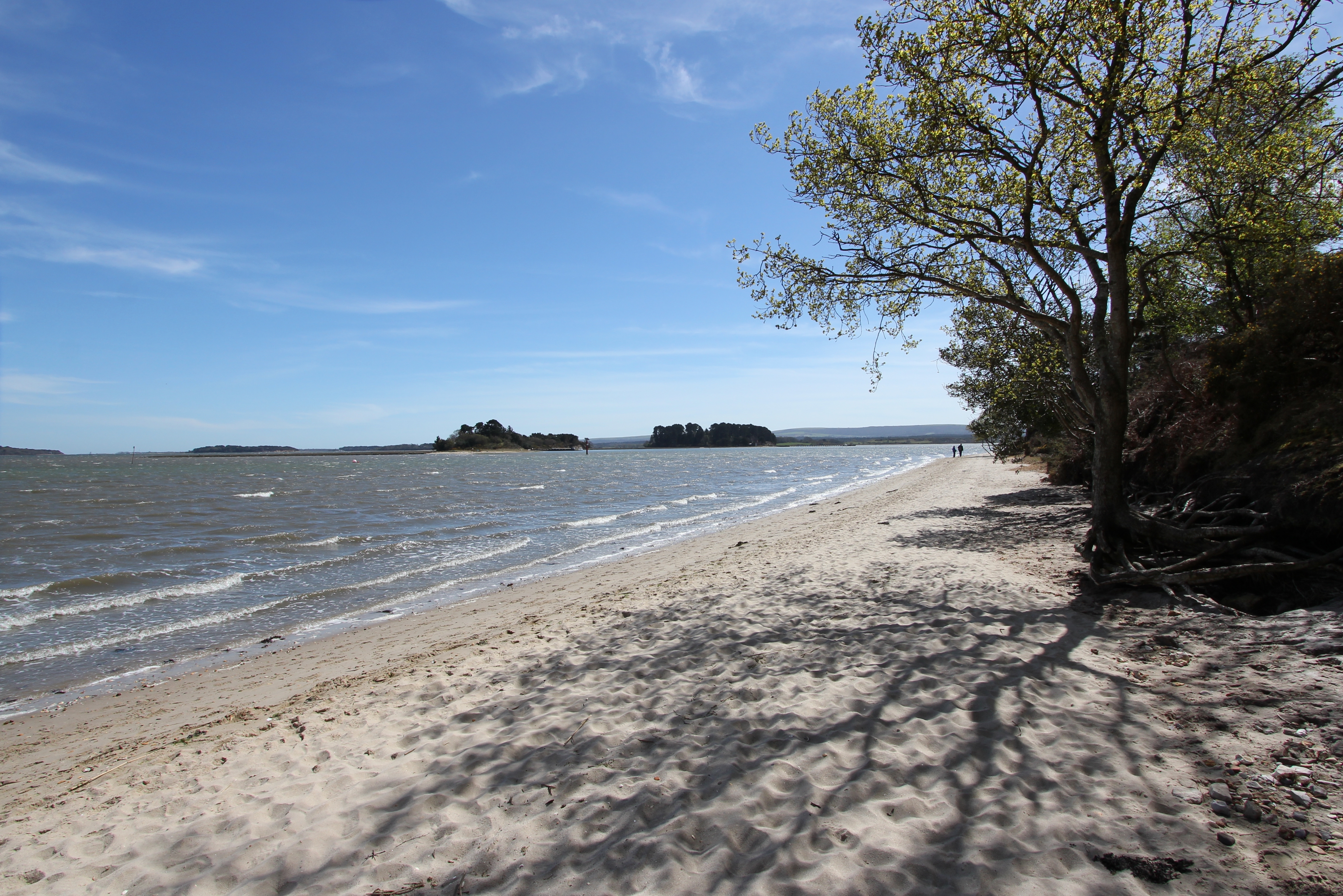
The beaches of Arne

A spring day on the edge of the world’s second largest natural harbour.

We’re lucky enough to live in the south of an island at over 51°N – which places us at an equivalent latitude with the bottom of Hudson Bay in Canada, the southernmost point of Alaska’s Aleutian archipelago, and just 13 mi. (21km) south of the Trans-Siberian Railway near the southern extent of Lake Baikal – where one of our neighbours has a palm tree in his garden, and there were no more than a couple of snowflakes in the wind during the last winter.
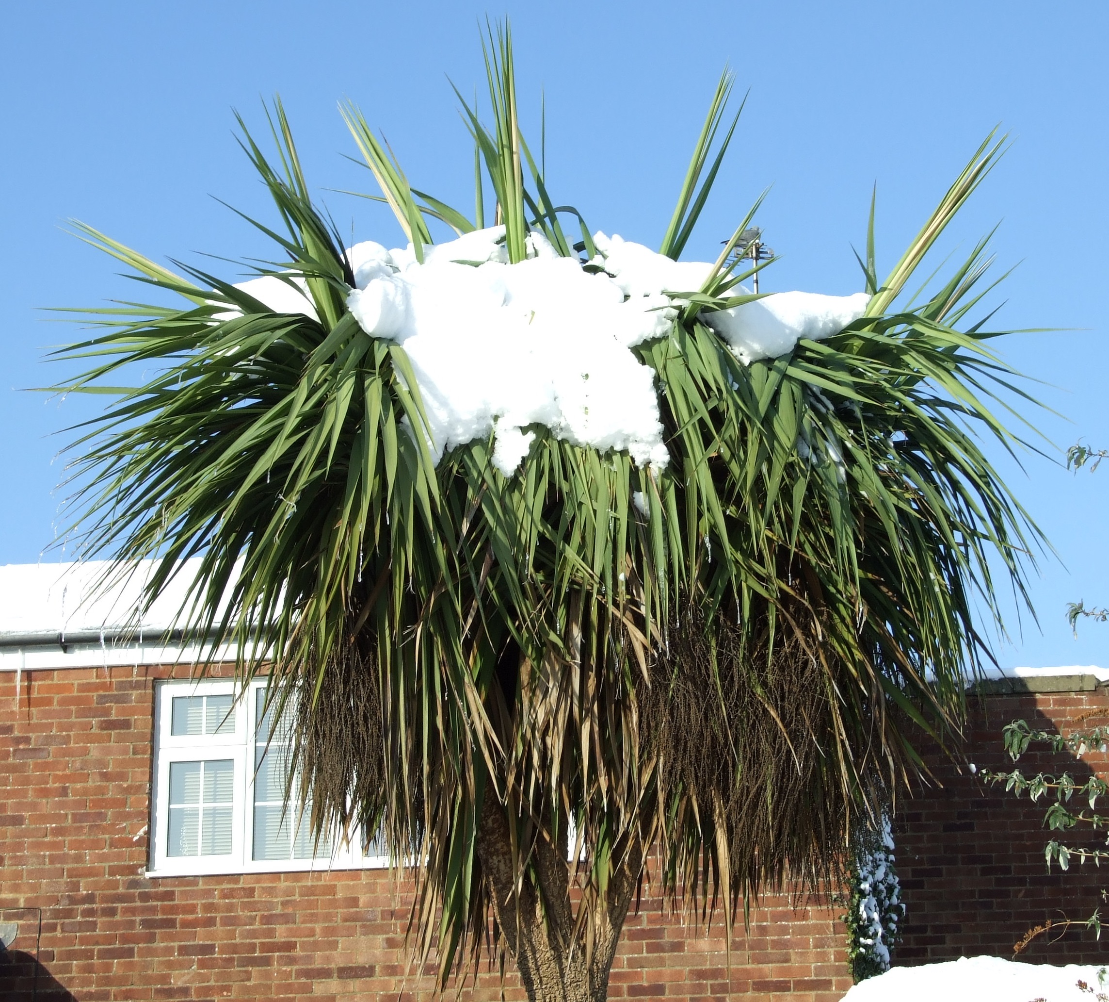
We did get some snow in December 2009/January 2010 (when this picture was taken), but it’s not exactly the norm.

With such a hospitable environment, and also only living about 32 miles (51.5 km) from the sea, we’re extremely well placed to take advantage of our local coastline.  This post was originally intended to cover several of the beaches we’ve enjoyed on a more regular basis in the south of England, together with some of the most memorable shorelines from the far south-west of the UK, and the south-west of Wales over the last 15 years, but I quickly realised that the beaches of the Arne peninsula were going to warrant their own account.

What I should state at this point is that I don’t have the slightest interest in beaches as a place on which to lie down, ignore the local environment, and bronze/burn myself. That’s not to say people don’t sunbathe on any of these beaches, but this very special location has far more to offer its visitors, not least the journey to get there.

Arne is a peninsula at the north of Dorset’s Isle of Purbeck that juts into the south-west corner of Poole Harbour.   It’s perhaps best known as being the site of a RSPB reserve that was established/opened in 1965/1966, and is usually reached by following the road from Stoborough for 3.2 mi. (5.1 km) to the car park at 50°41’23.49”N, 2°02’29.96”W (SY 97192 87802).

Parking currently costs £2.50 for up to 2 hrs, £5.00 for over 2 hours, and is free for RSPB members. Note that the ticket machine only takes coins, and not notes or credit cards, although the RSPB will provide change if they have it.  Parking space availability can, apparently, be an issue (61 spaces and two Blue Badge spaces, although there is a limited use seasonal overflow car park), but we’ve never had a problem getting in.  The car park opens at 08:30 and is locked at dusk (although on mornings when the RSPB are conducting private guided tours it might be open from 07:00). There’s no height restriction for vehicles entering the car park.  There are also bike racks and nearby toilets.

There’s no further road access for the general public beyond this point unless you’re a resident of Arne, or have picked up a pass from the RSPB reception at the main car park to use the disabled access car park (four spaces at 50°41’36.83”N, 2°01’56.35”W, SY 97812 88213).

From the car park it’s an eastward walk of about 1 mile (1.6km), past the 12th or early 13th century Church of St. Nicholas, and on through the grasslands of Arne Farm (managed for wildlife), a brief strip of woodland (where the disabled access car park is located in shade), and into the increasingly rare lowland heathland habitat that abuts the beach at Shipstal Point.  When walking this route regale your companions with the story of how, in 1947, wine thieves evaded mines in Poole Harbour to land at Shipstal Point before attempting to transport their booty along this road heading inland.

The orange route is the main path from the car park to Shipstal Point and is a designated public footpath (although the RSPB have just started steering pedestrians away from the initial metalled section of road via an alternative path to Arne Farm), the yellow tracks are those around Shipstal Hill, and the green tracks are other designated routes around the reserve. [Source of base map: MagicMap (c) Crown Copyright and database rights 2016. Ordnance Survey 100022861.]
About 240m before you arrive at Shipstal Point you will reach an intersection of several routes (50°41’41.29”N, 2°01’39.47”W, SY 98372 88356) providing five alternative directions to explore.

To your left, heading WNW, is a path that leads past dragonfly filled ponds created by WWII bomb craters, and groves of tall trees, before boardwalks lead you away to a two-storey hide overlooking Arne Bay.  As interesting and beautiful a route as this is (we’ve always travelled it in a clockwise direction from the earlier mentioned woodland strip bringing us back to the intersection), it doesn’t get you to any beaches, so it doesn’t get in this post.

Continuing straight ahead on the restricted vehicular access track in a north easterly direction is the way to Shipstal Point and the beach. To the east is a track with wooden shuttered steps up to Shipstal Hill, more of which in a moment.
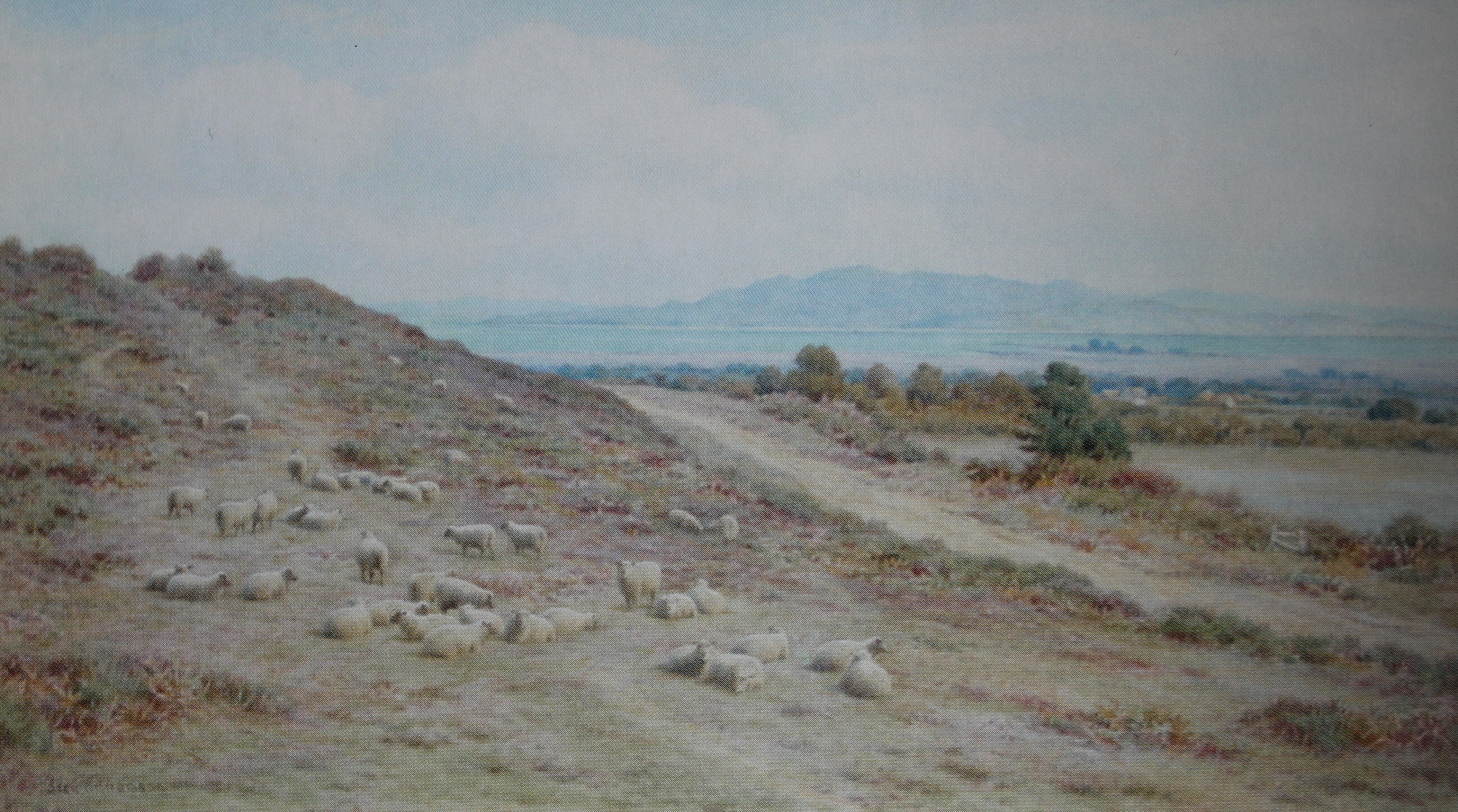
From a postcard of the watercolour painting “Arne Hill Wareham, Looking To Poole Harbour” by Frederick Williamson (1835-1900). He specialised in landscapes with sheep in them, and the connection here is that ‘Shipstal’ has nothing to do with anything nautical, but instead is derived from ‘sheep stall’.

To the south east lies the gentler rise of a track which leads directly over to the southern end of the cliffs at Shipstal.  The fifth option is behind you and leads back to the car park, but taking this route before any of the others would be a mistake.

As a family, we have tended to visit most often in the summer months (although Arne is worth a visit at any time of year) when our route has almost invariably found us walking up to Shipstal Hill and down to the southern end of Shipstal Beach, before turning back inland.  This affords some great views across Poole Harbour and its islands, but leads away from Shipstal Point.
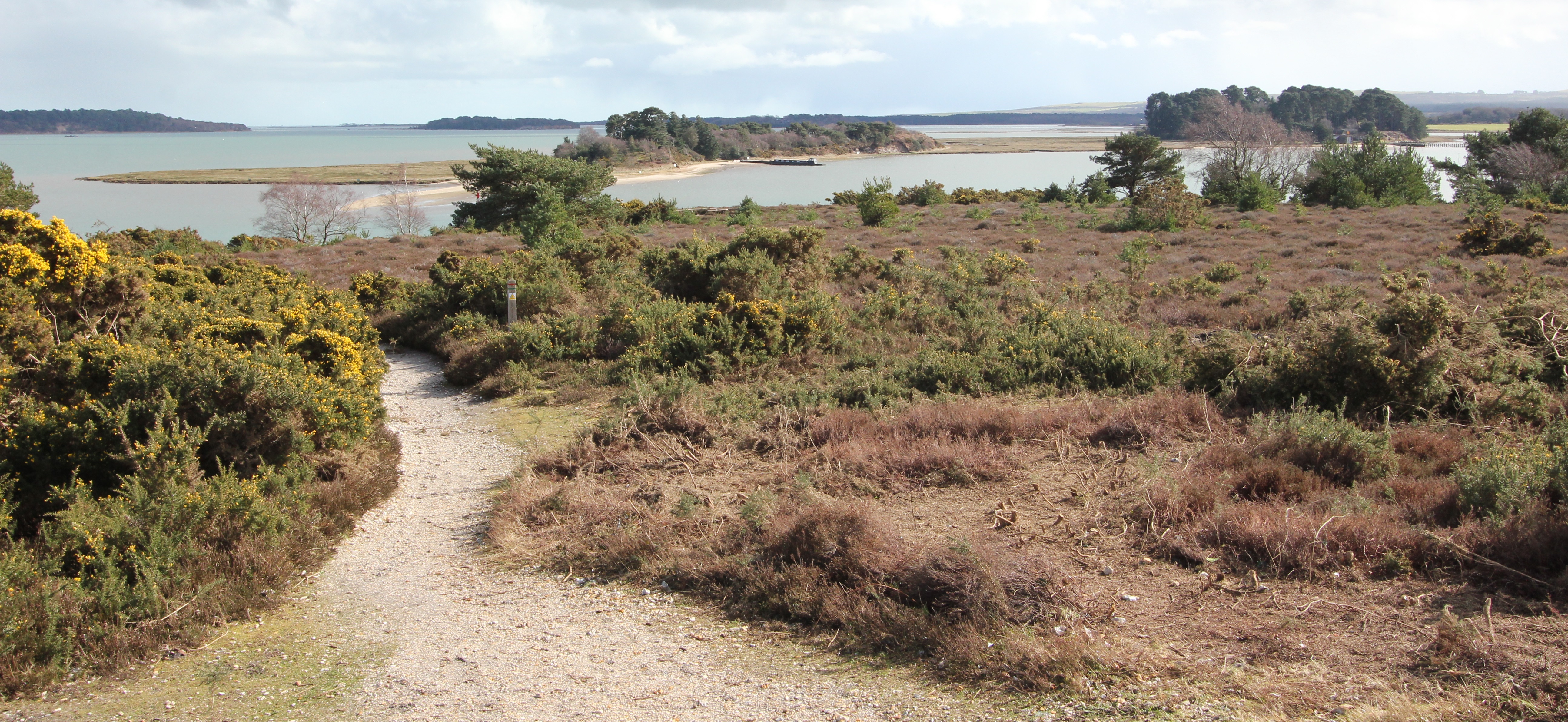
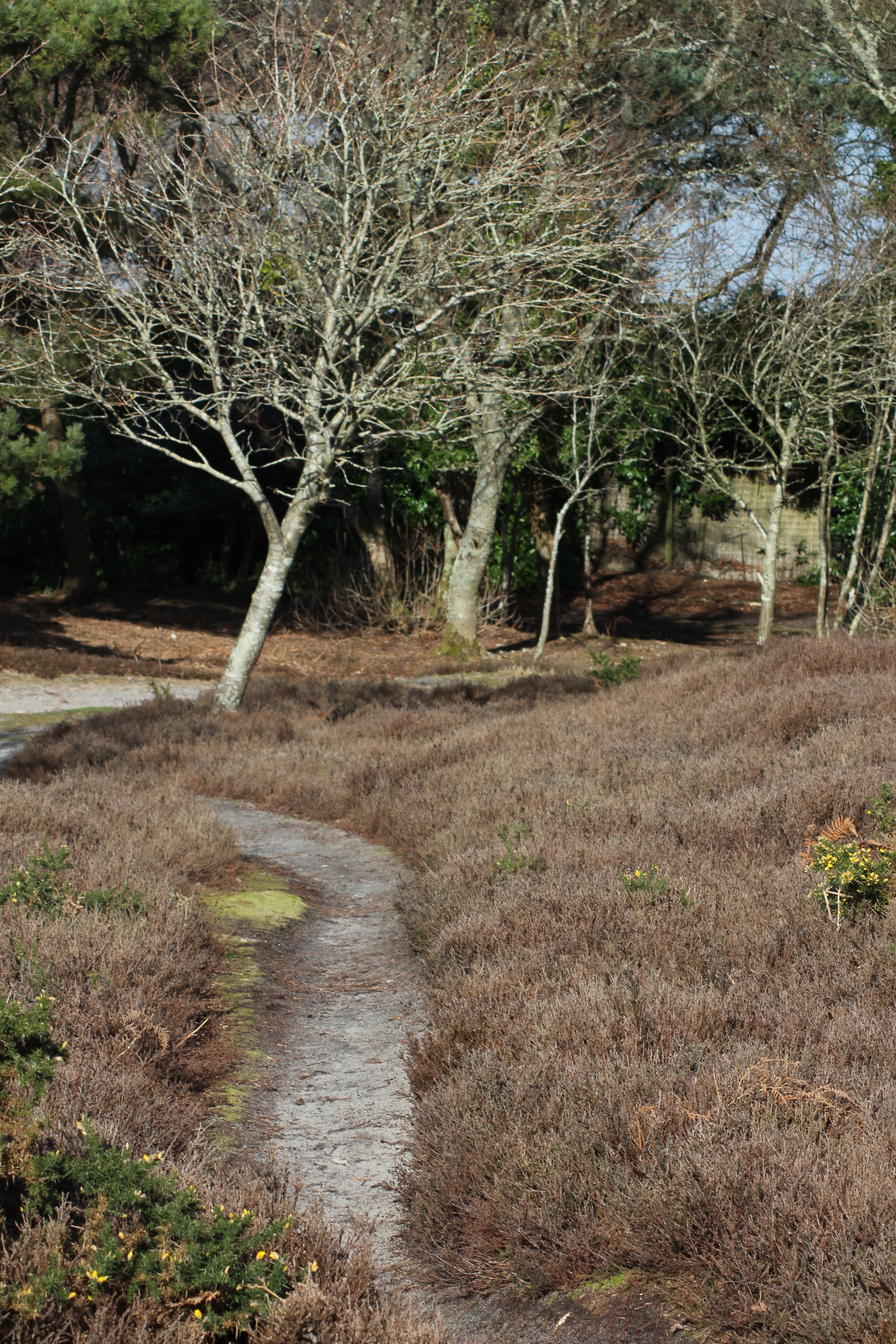
The view over Poole Harbour to the south east from Shipstal Hill in early March 2016. The islands in the foreground are Long Island (L) and Round Island (R). Green Island lies in the background between these two islands. In the distance, to the left of Long Island, is Furzey Island, and still further left at the edge of the photo is Brownsea Island. On the far horizon between Brownsea and Furzey is the harbour entrance. The main path ahead descends in an easterly direction towards the cliff top before turning right and heading south along the line of the cliff, but to the left are more steps and a small track leading back down almost directly to Shipstal Point.
Walking from the path intersection towards Shipstal Point there is a fork to the left for the entrance to the private properties at the sea front. Take the path to the right keeping the boundary fence of the Shipstal Cottages on your left.
Reaching Shipstal Point.
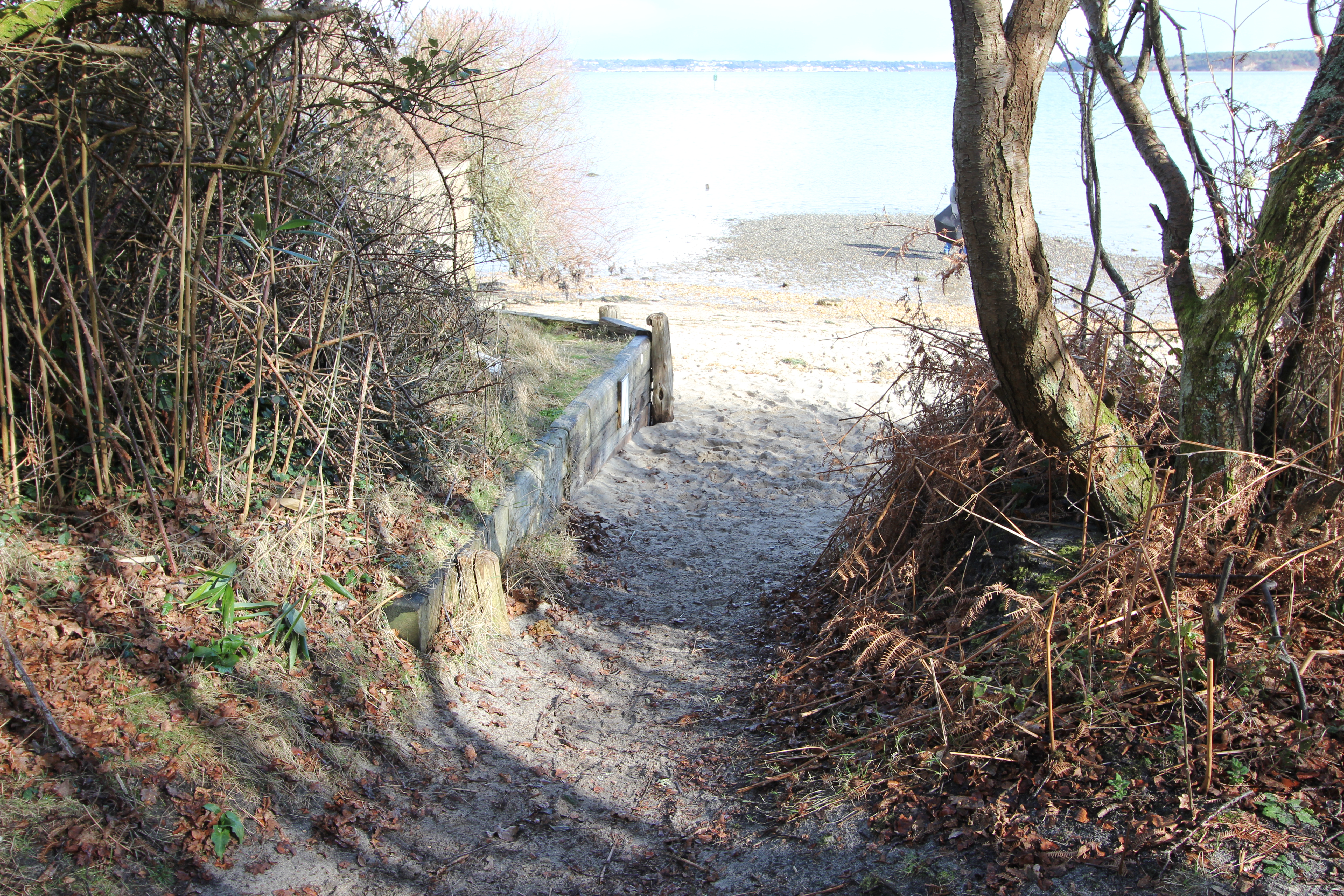
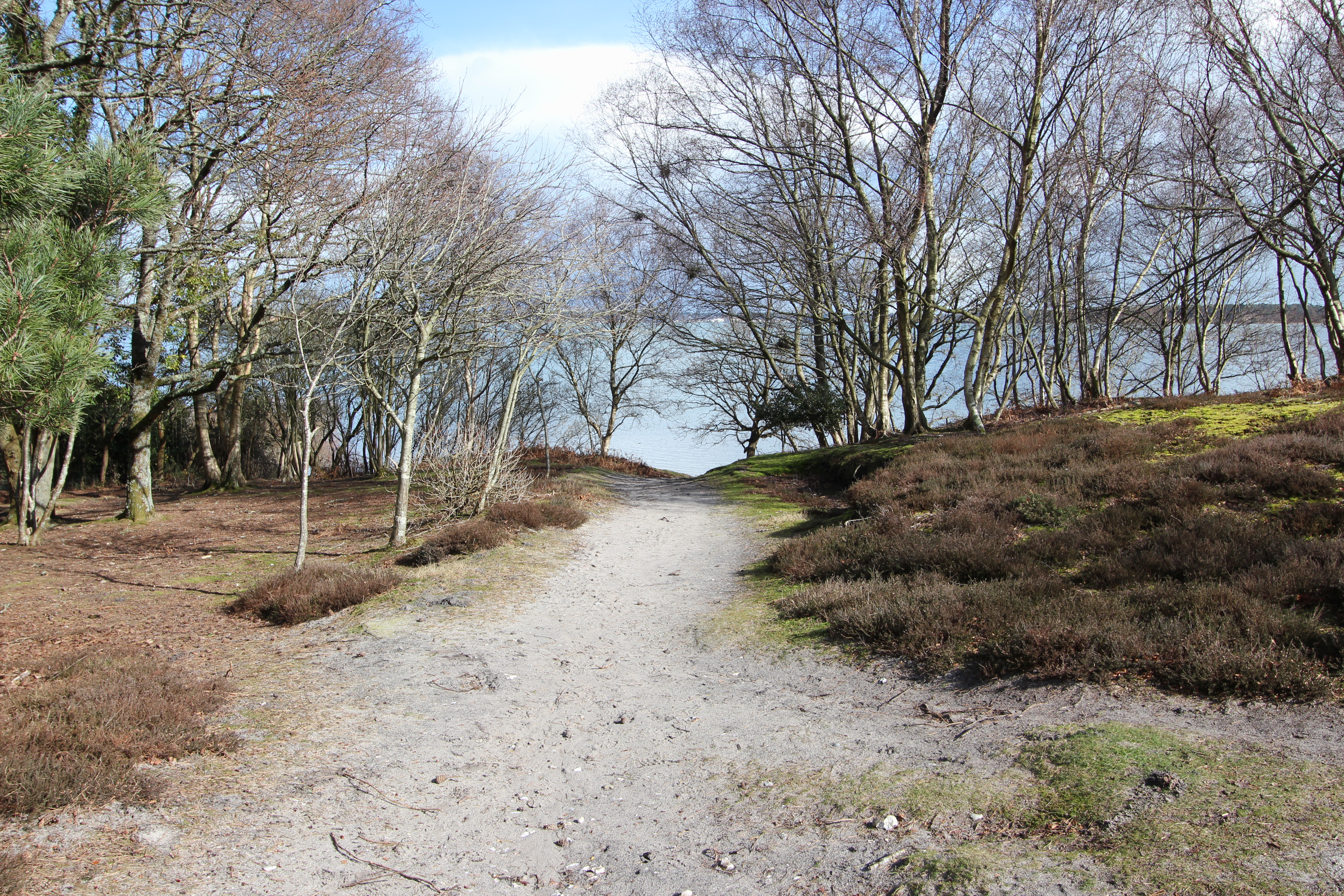
Having descending from Shipstal Hill there is a wider track which parallels the official footpath down to the shore…
Having descended from Shipstal Hill there is a wider track which parallels the official footpath down to the shore…
…and runs down to Shipstal Point.
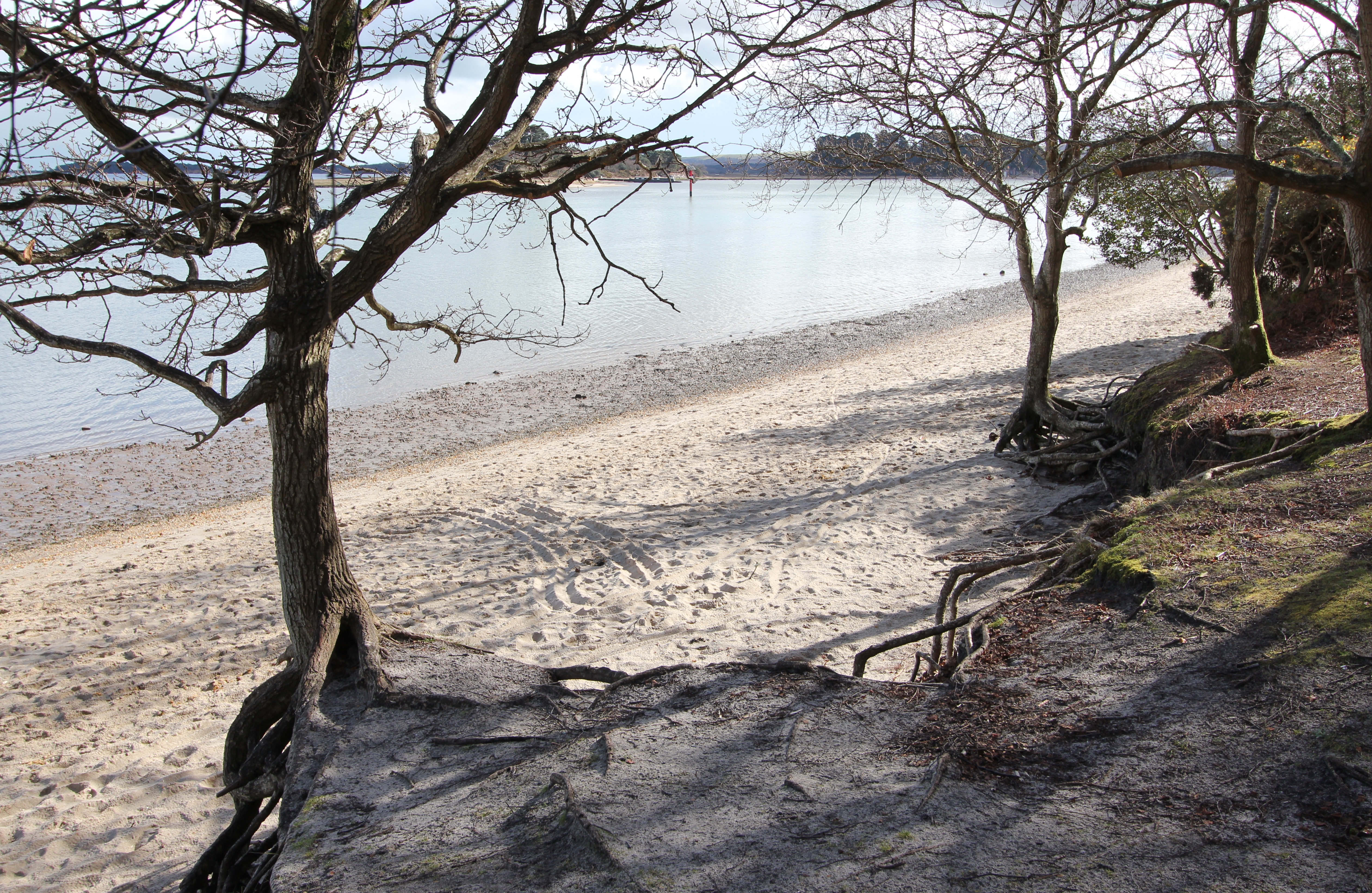
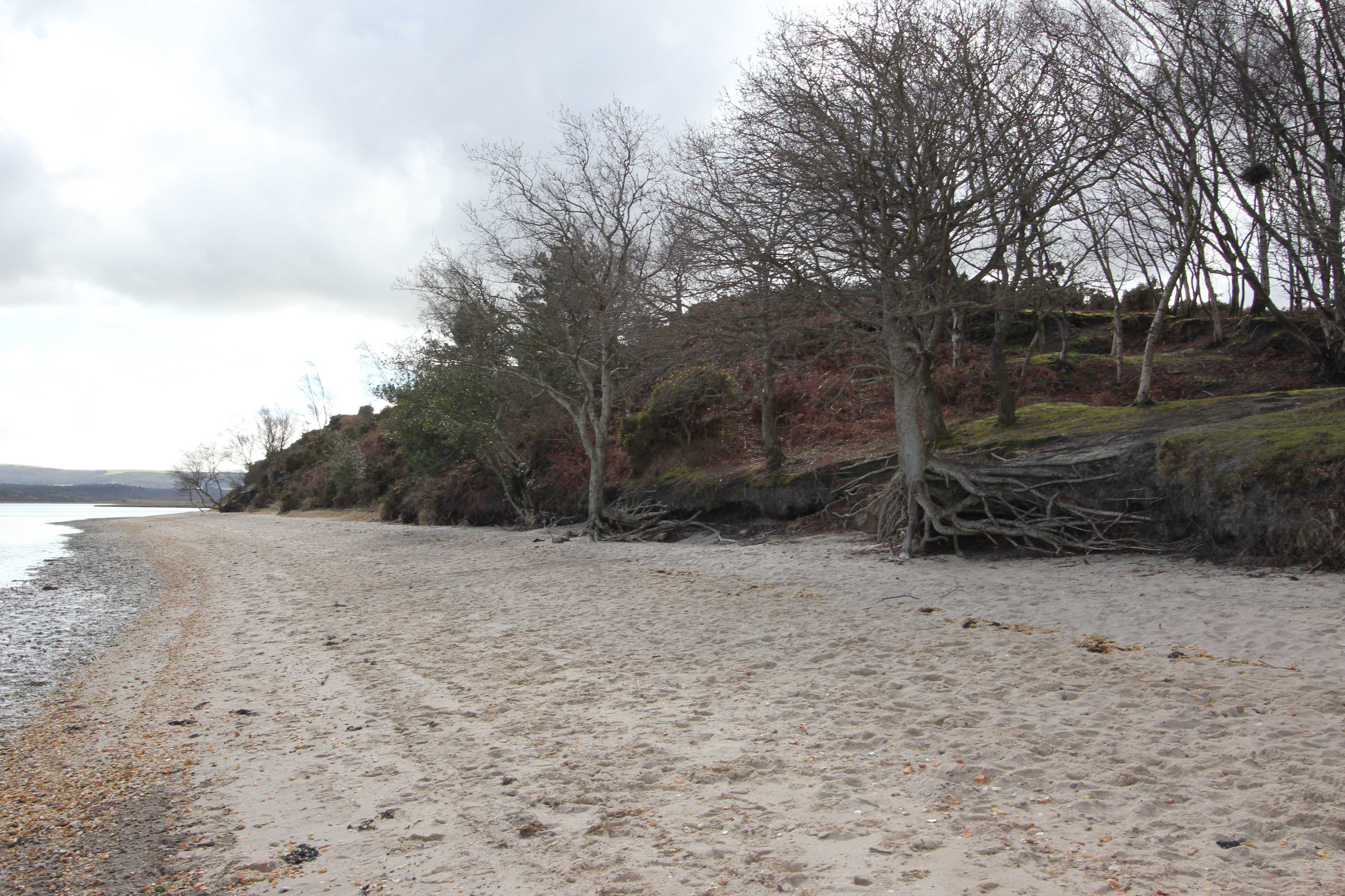
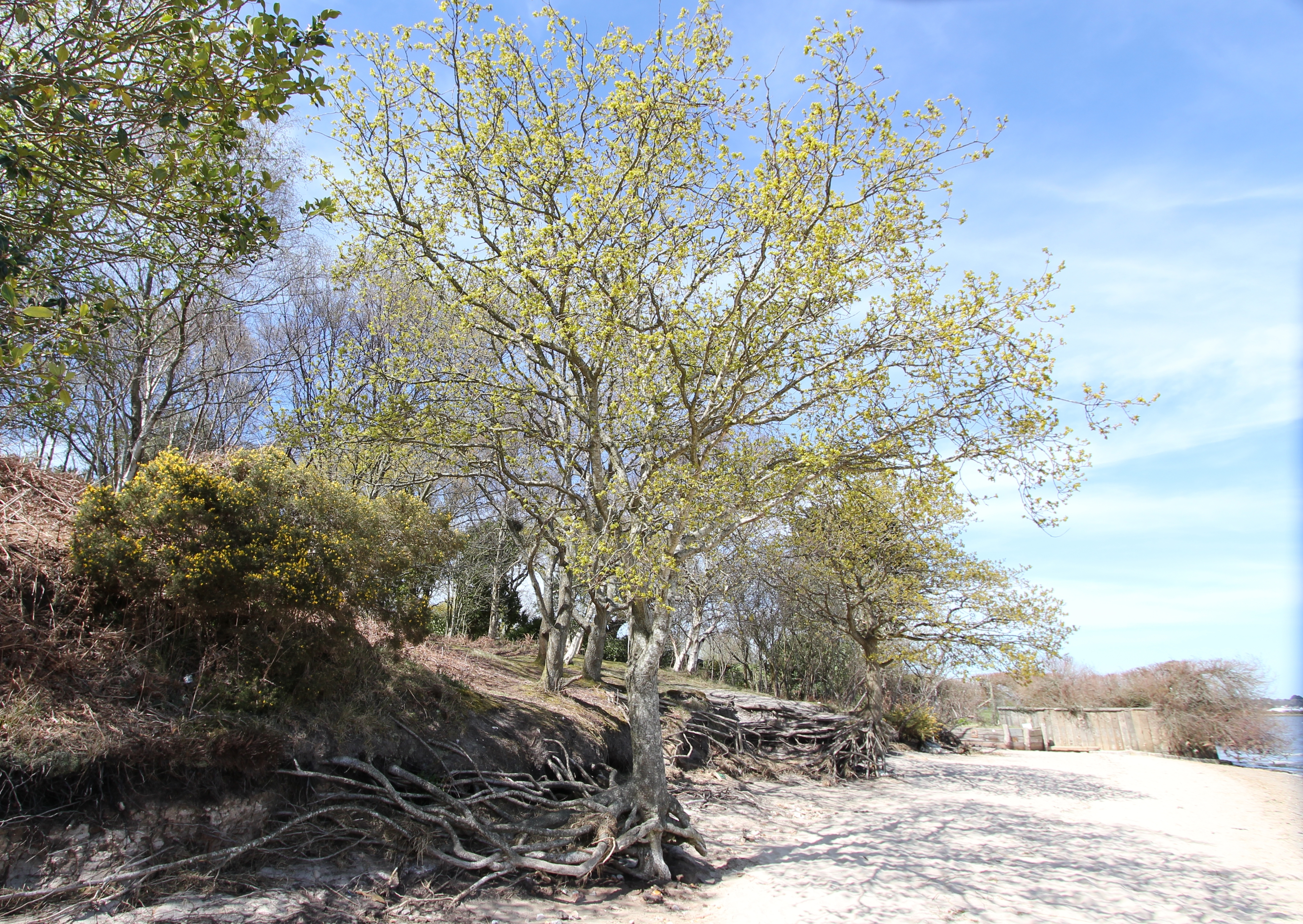
The trees reach right to the edge of the beach…
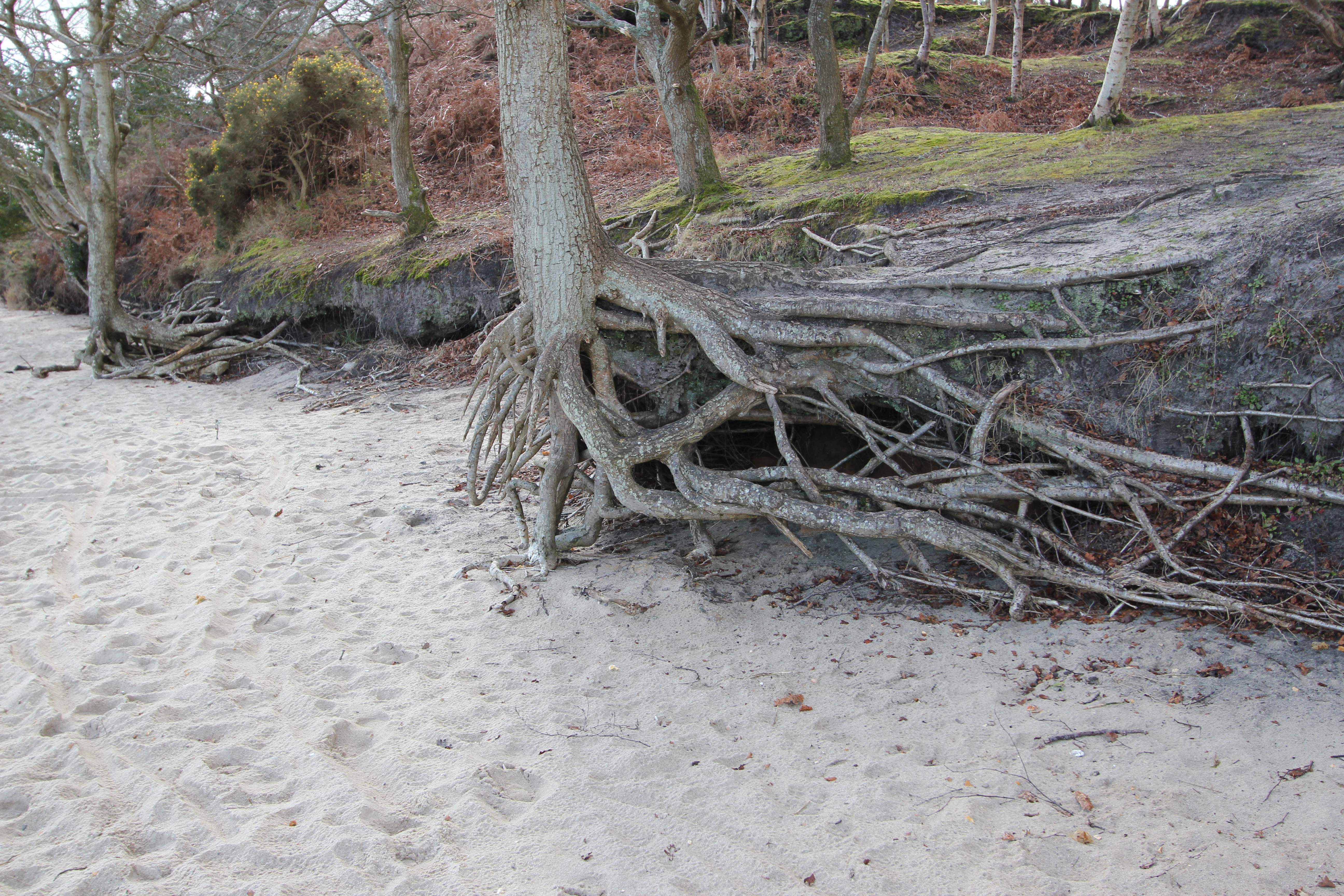
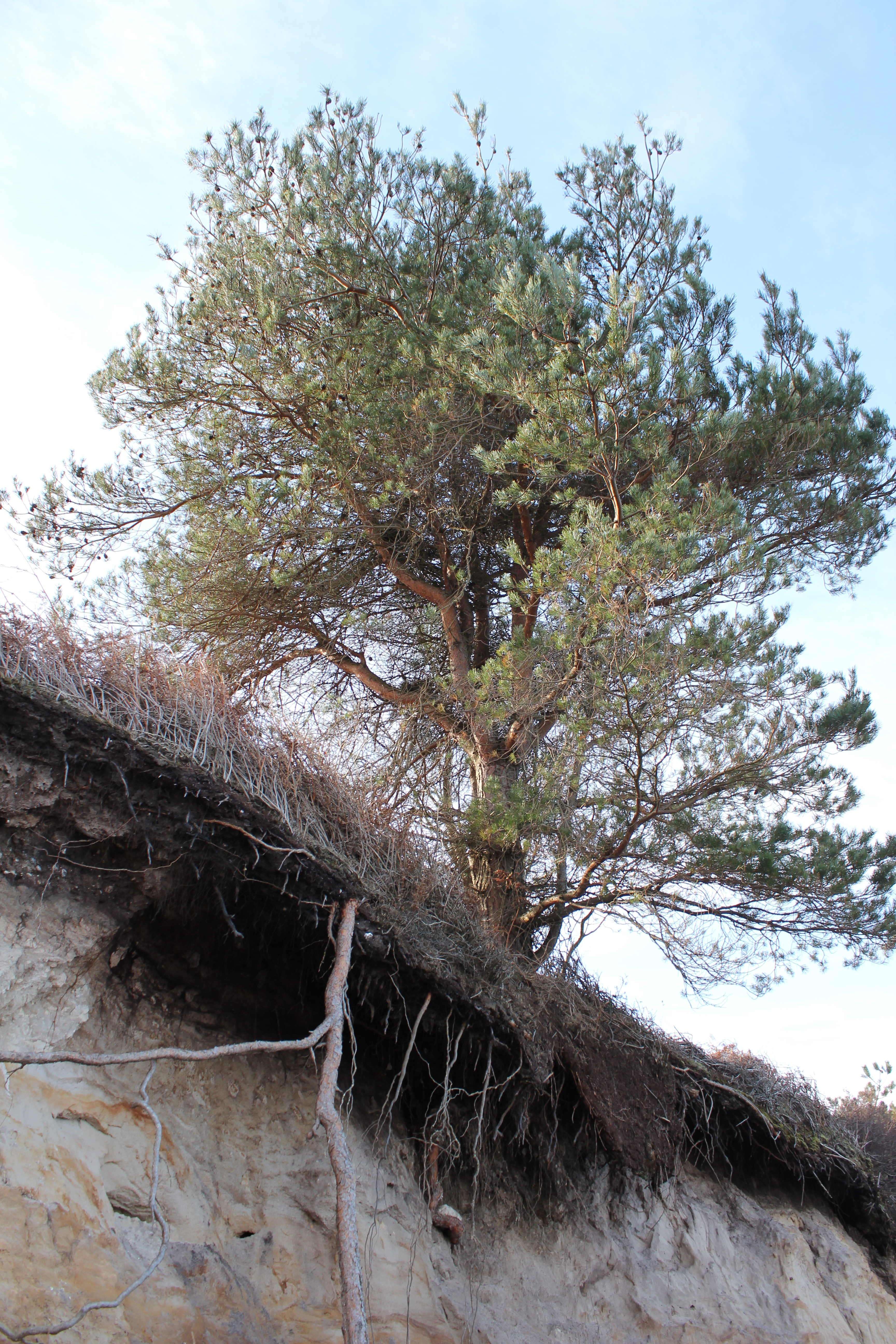
…where they are gradually undermined by erosion…
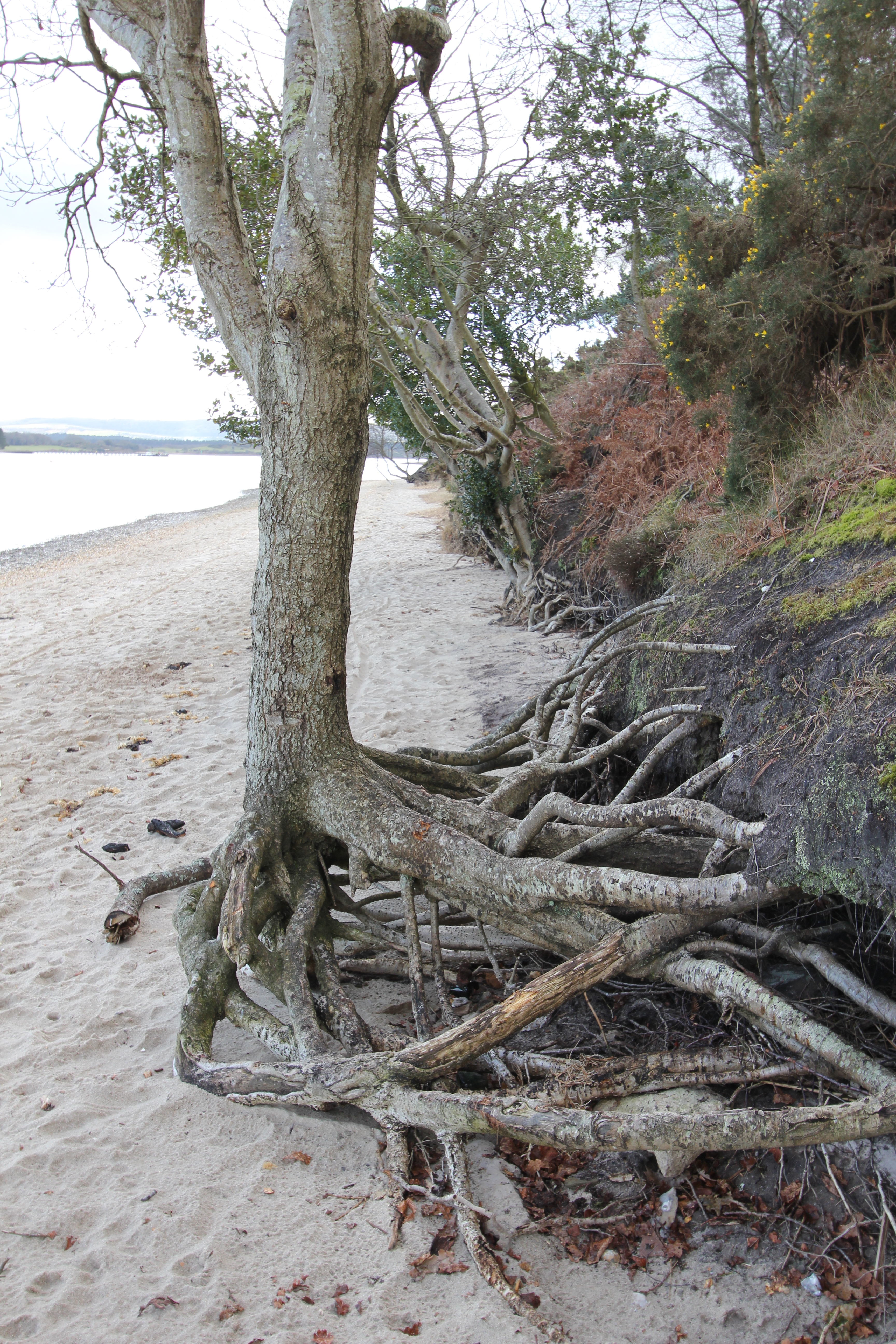
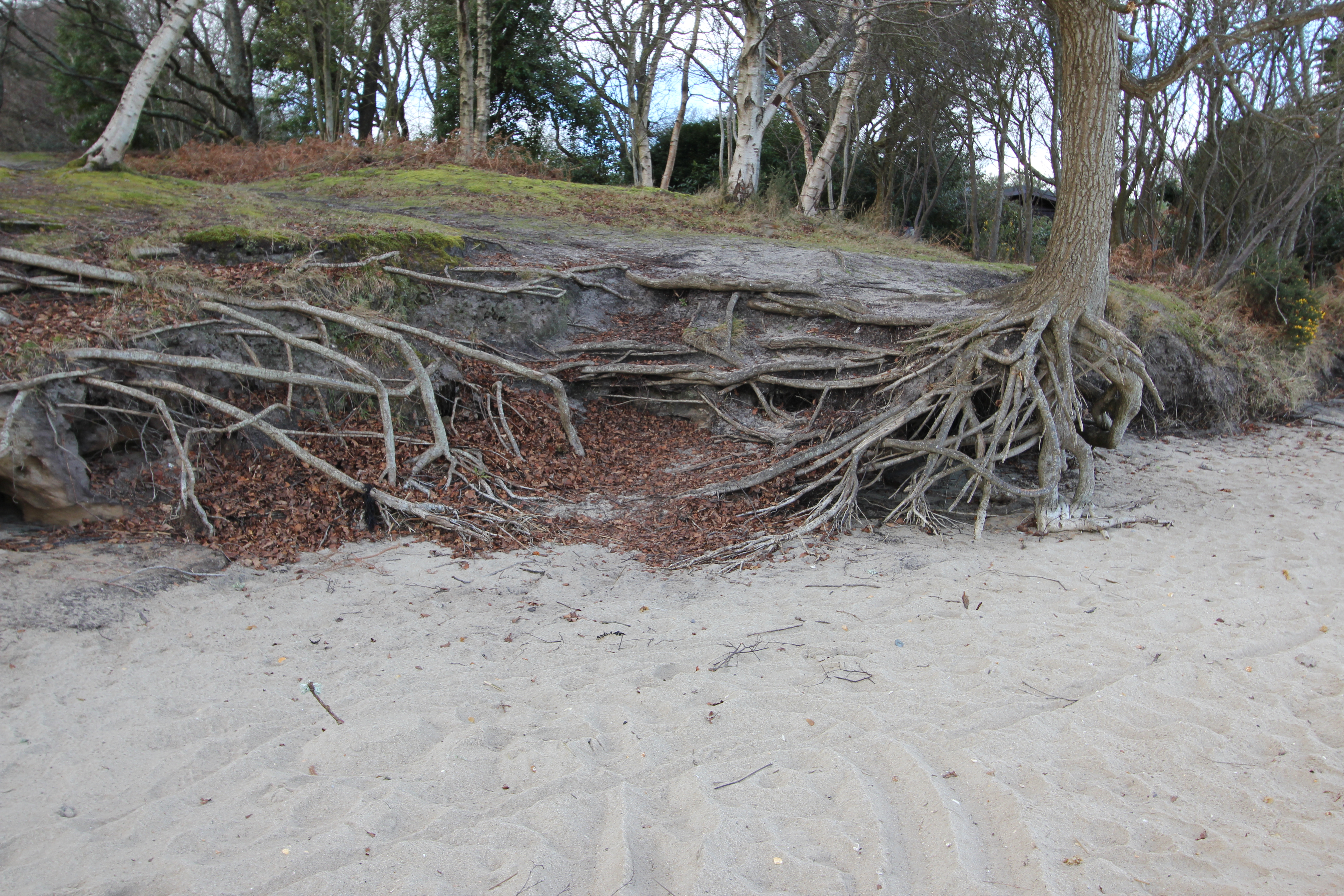
…leaving exposed roots to reach back for sustenance.
A great nature lesson for young children…
…and adults alike.
…and adults alike.

According to Philip Brannon’s “Illustrated Historical & Picturesque Guide to Bournemouth & Its Neighbourhood, Part 2” (1857) Shipstal Quay was a principal point of entry to Arne from Poole, but this has long since gone.

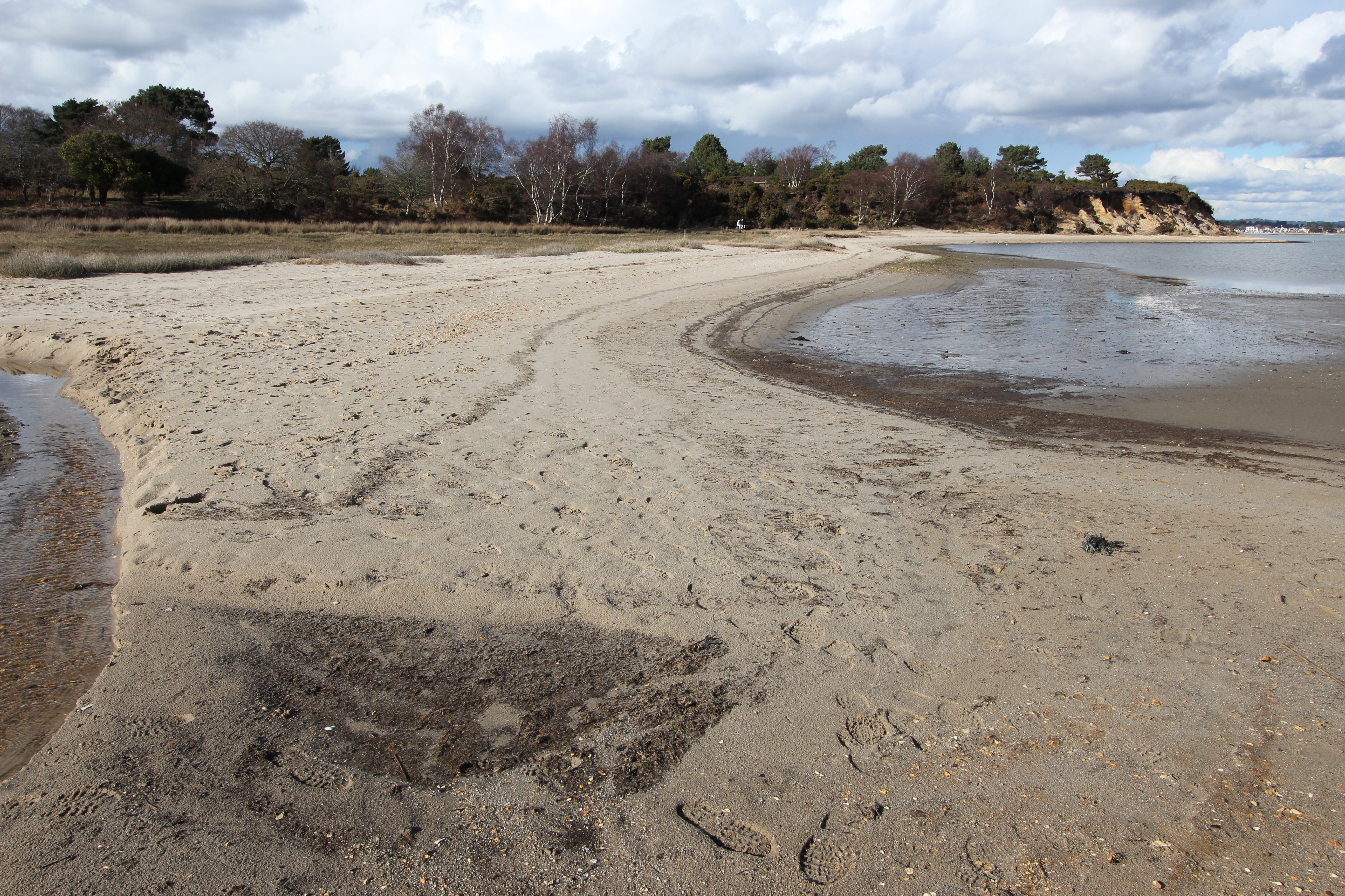
From Shipstal Point the beach runs southwest as a narrow strip for about 120m before slightly widening as it curves to the west for another 175m, where the path turns inland.
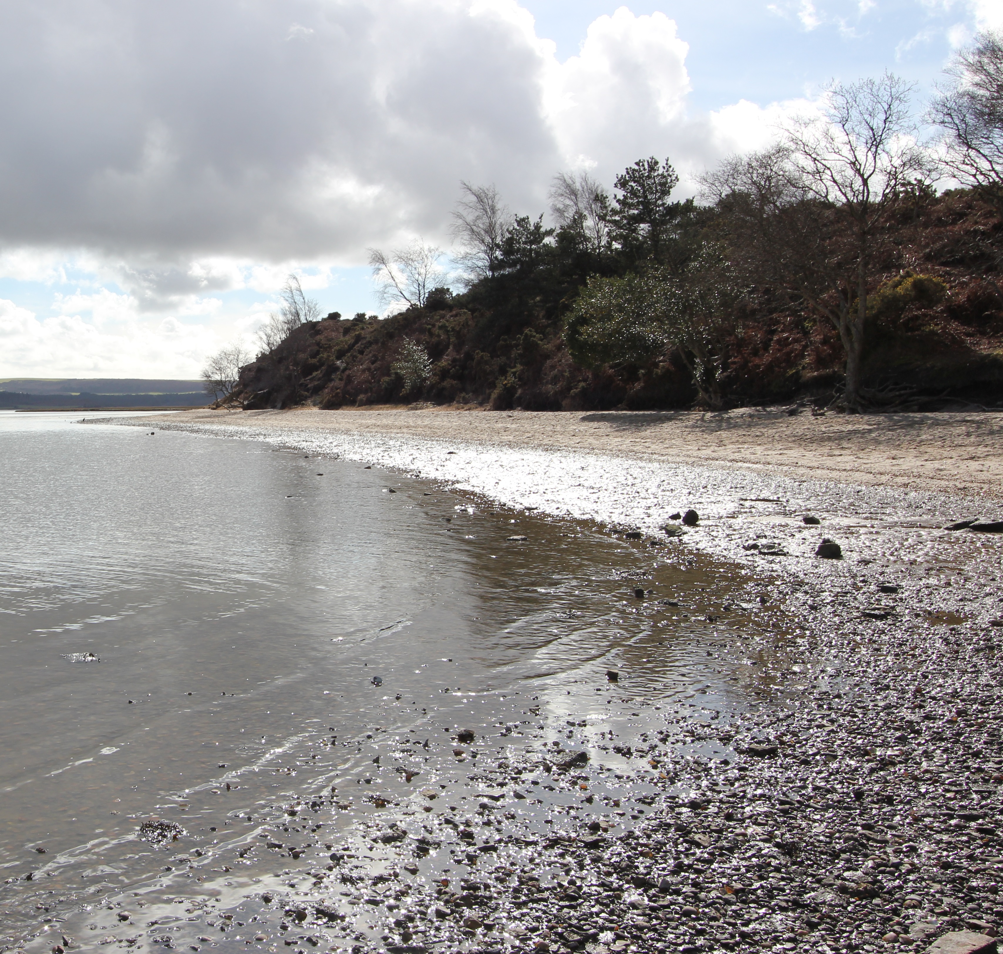
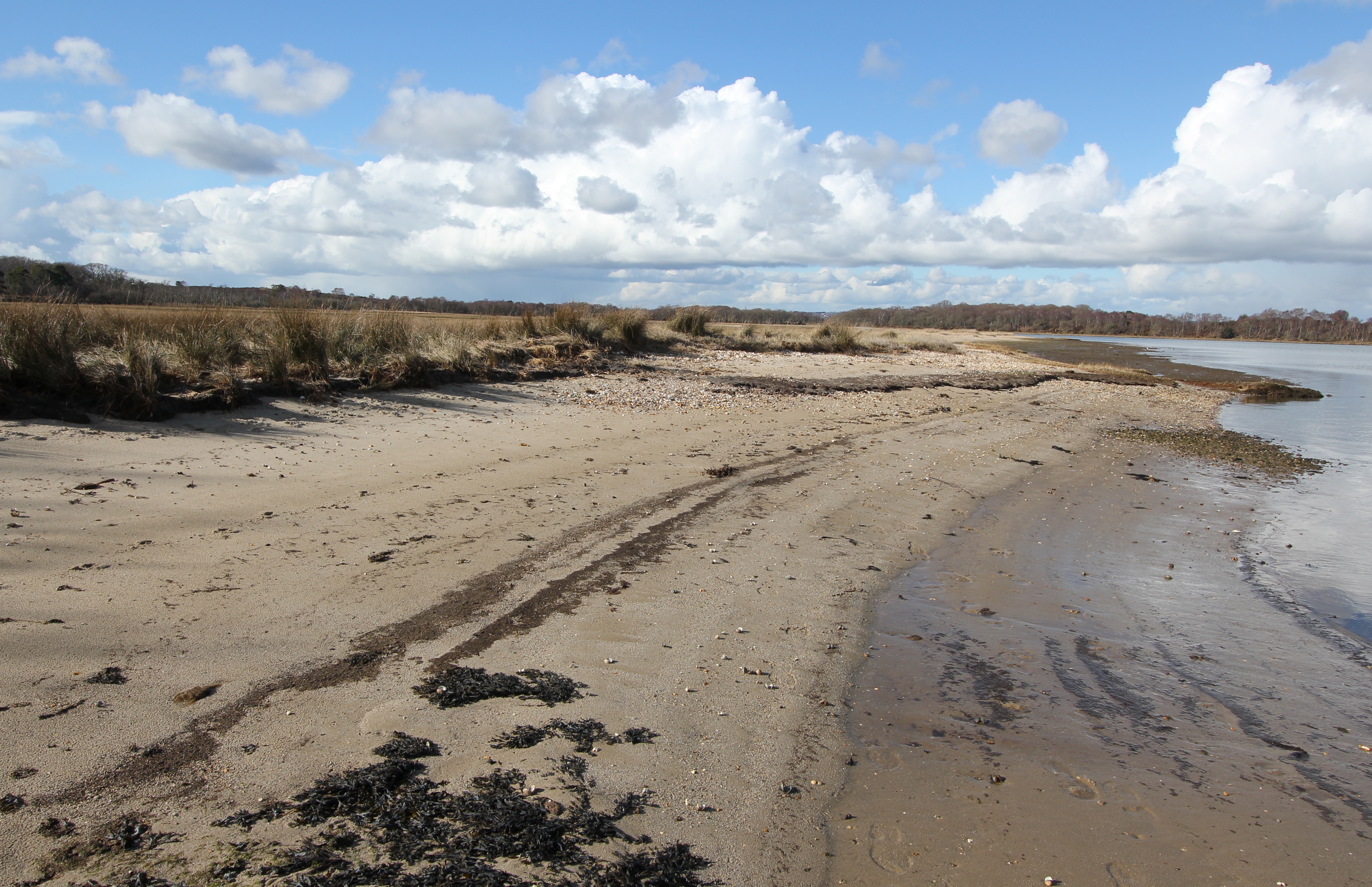
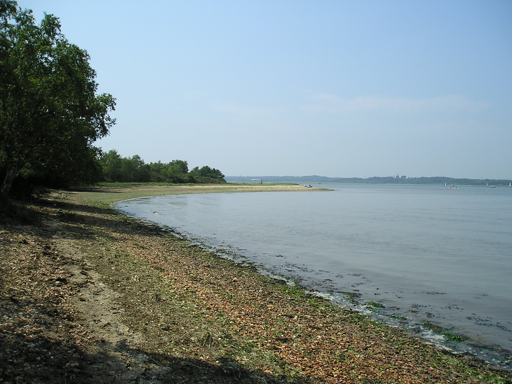
Shipstal Beach viewed to the southwest from Shipstal Point. Look for oysters around your feet when the tide is out at Shipstal Point, or small parcels of Oystercatchers (Haematopus ostralegus) searching for cockles.

In winter months watch out for Eurasian (or Common) Spoonbills (Platalea leucorodia) flying or roosting near Shipstal Point. Once locally extinct in the UK, growing numbers are being recorded at Arne each year and it is believed that they may start to breed here in the near future.

Little Egrets (Egretta garzetta) were first confirmed as breeding in the UK in 1996 at Poole Harbour, and are now a common sight around Shipstal.  It is one of the species that was cited in the original declaration of the terrestrial and intertidal areas of Arne’s coast (and the rest of Poole Harbour) down to Mean Low Water (MLW) as a Special Protection Area (SPA).  It is anticipated that the SPA will be extended to the entirety of the harbour by December 2016.

Watch (and listen) out for the spectacular migratory Osprey (Pandion haliaetus), Marsh Harriers (Circus aeruginosus), and Hen Harriers (Circus cyaneus).

For the latest sightings of these and many other bird species from Shipstal and elsewhere on Arne, visit the RSPB website or their Twitter feed and the Birds of Poole Harbour website.

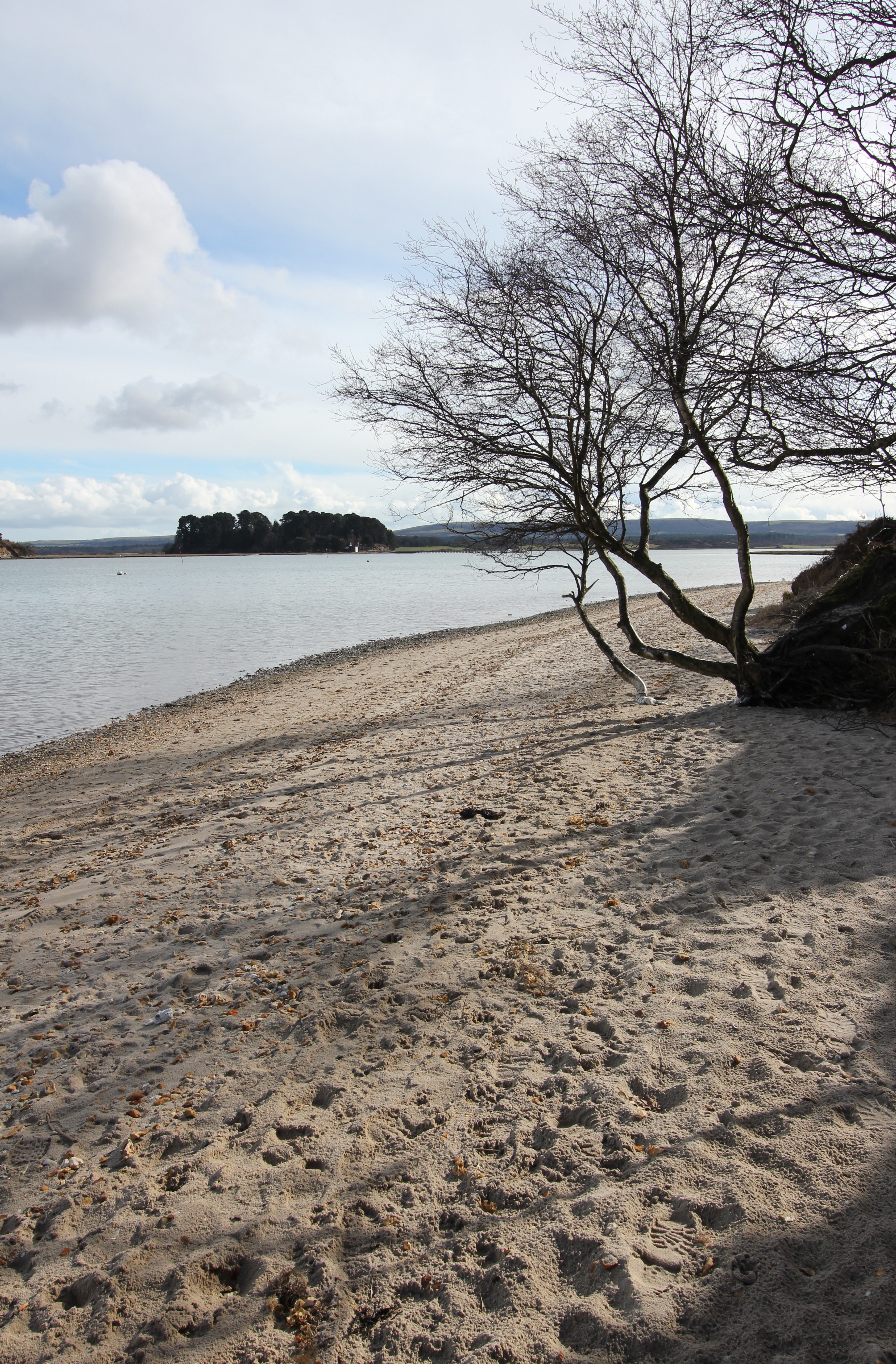
The view to the northeast from Shipstal Beach at Shipstal Point. The upper beach becomes gradually more shaded by the cliff and trees as the day progresses.

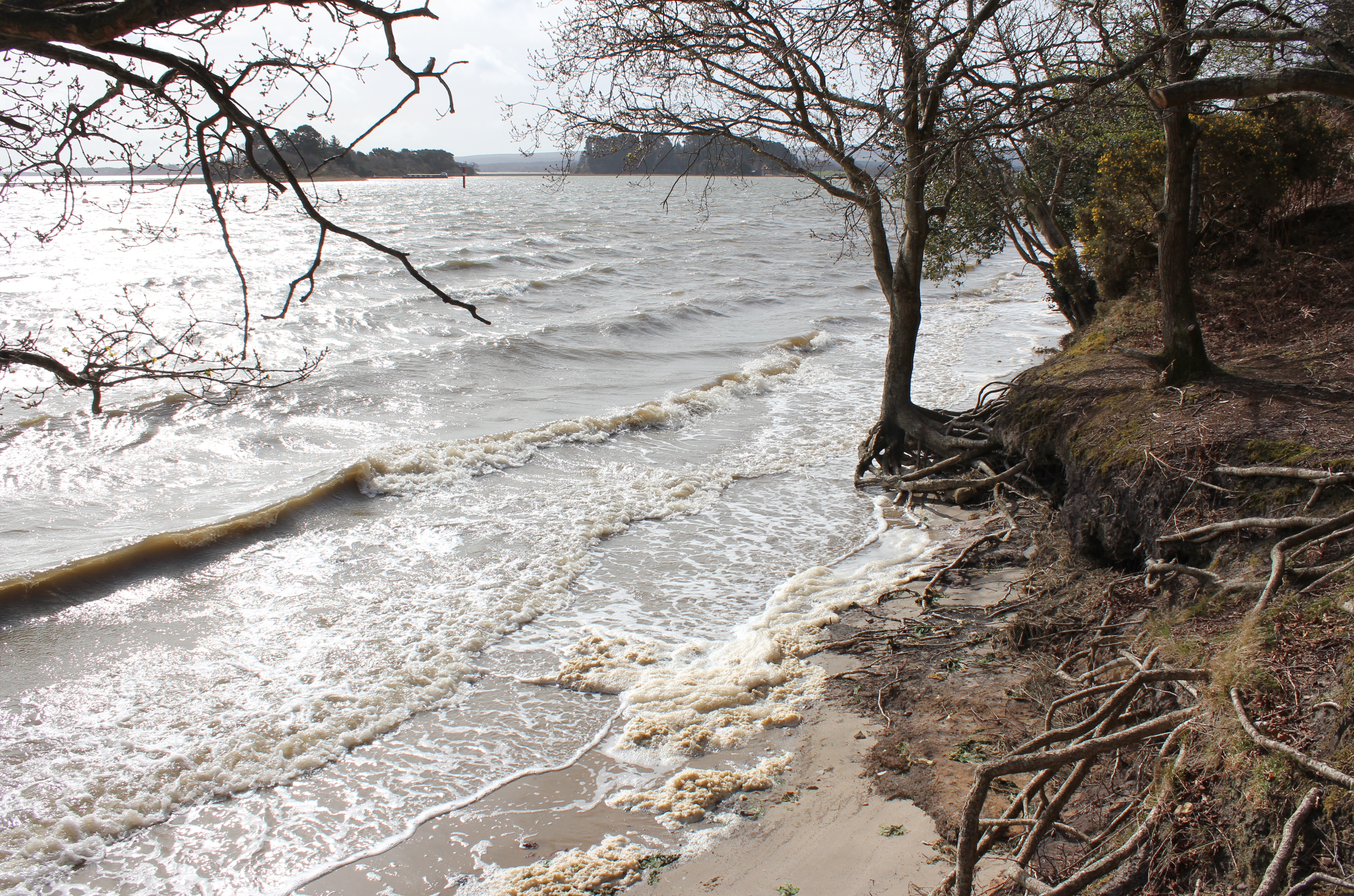
It’s worth keeping in mind that a high tide and a strong easterly wind may reduce your chance of walking down the beach at Shipstal:
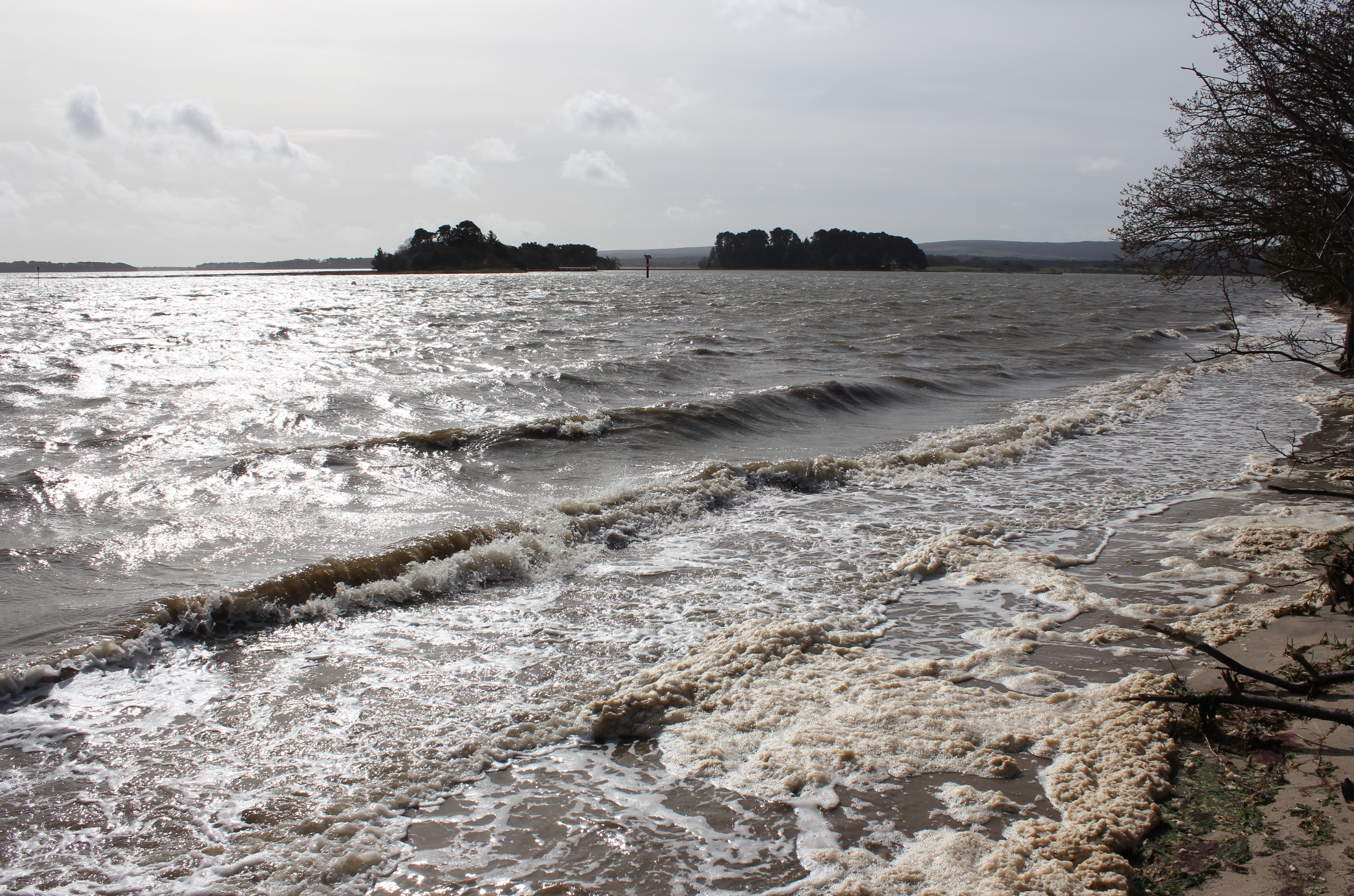
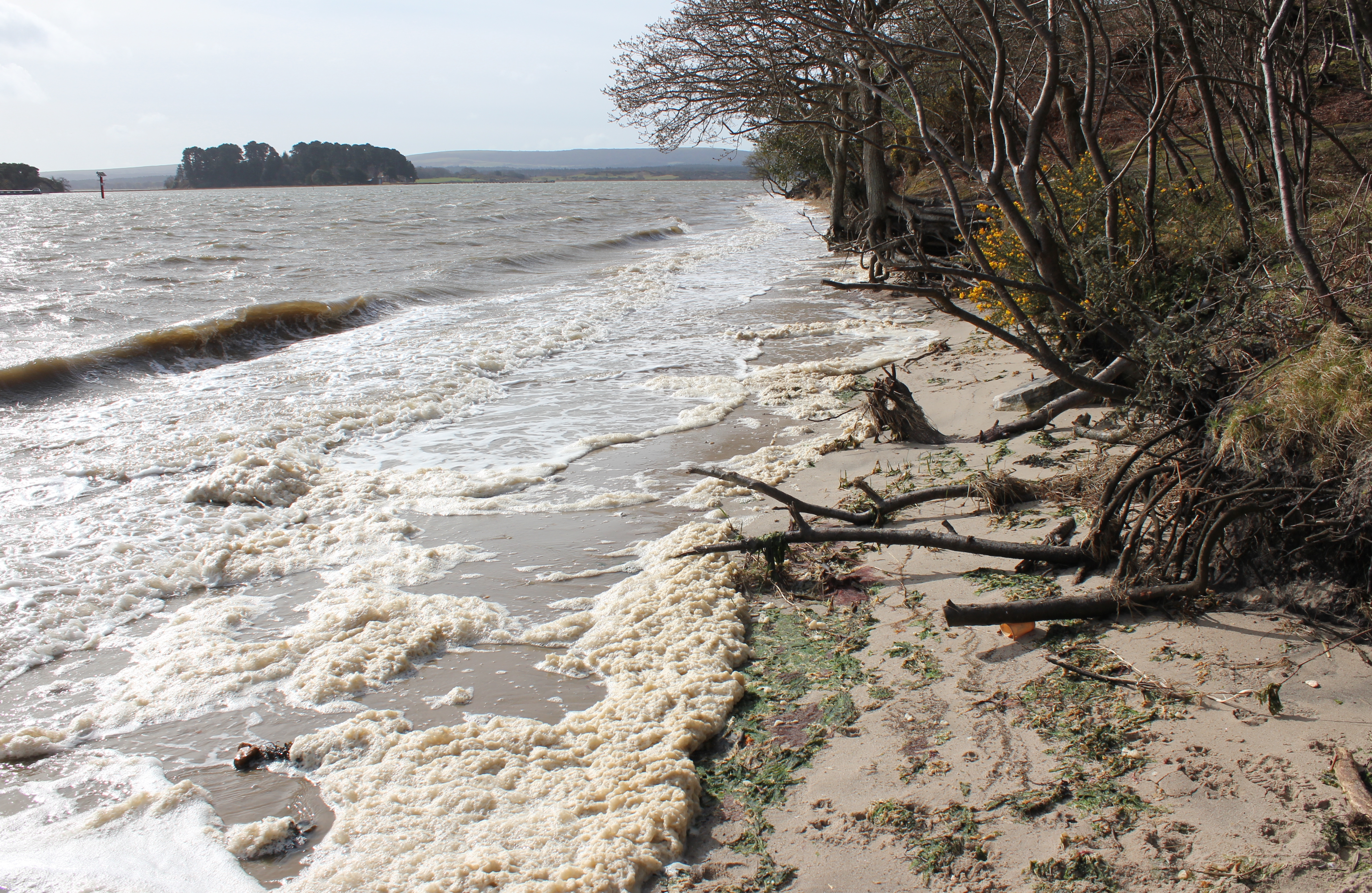
Long Island and Round Island from Shipstal Point during a windy morning and spring high tide in April 2016.
Poole Harbour’s unusual tides are explained here. This is almost as high as it will get on a spring tide, with the wind as the cause of the waves. Tide prediction heights and times for Poole Harbour are available here.
Maybe this tree had heard tales, but misunderstood the intention, of the Viking leader and later King of England, Knud (Cnud, Canute), who attacked Wareham in 1015. This was not the first time Viking had sailed into Poole Harbour, with the area having been previously invaded by Danes in 875.
Maybe this tree had heard tales, but misunderstood the intention, of the Viking leader and later King of England, Knud (Cnud, Canute), who attacked Wareham in 1015. This was not the first time Vikings had sailed into Poole Harbour, with the area having been previously invaded by Danes in 875.
10 days later, after the bank has receded a little further, but when in Spring…
In more placid conditions the previous month. Round Island is ahead as Shipstal Beach curves to the west.
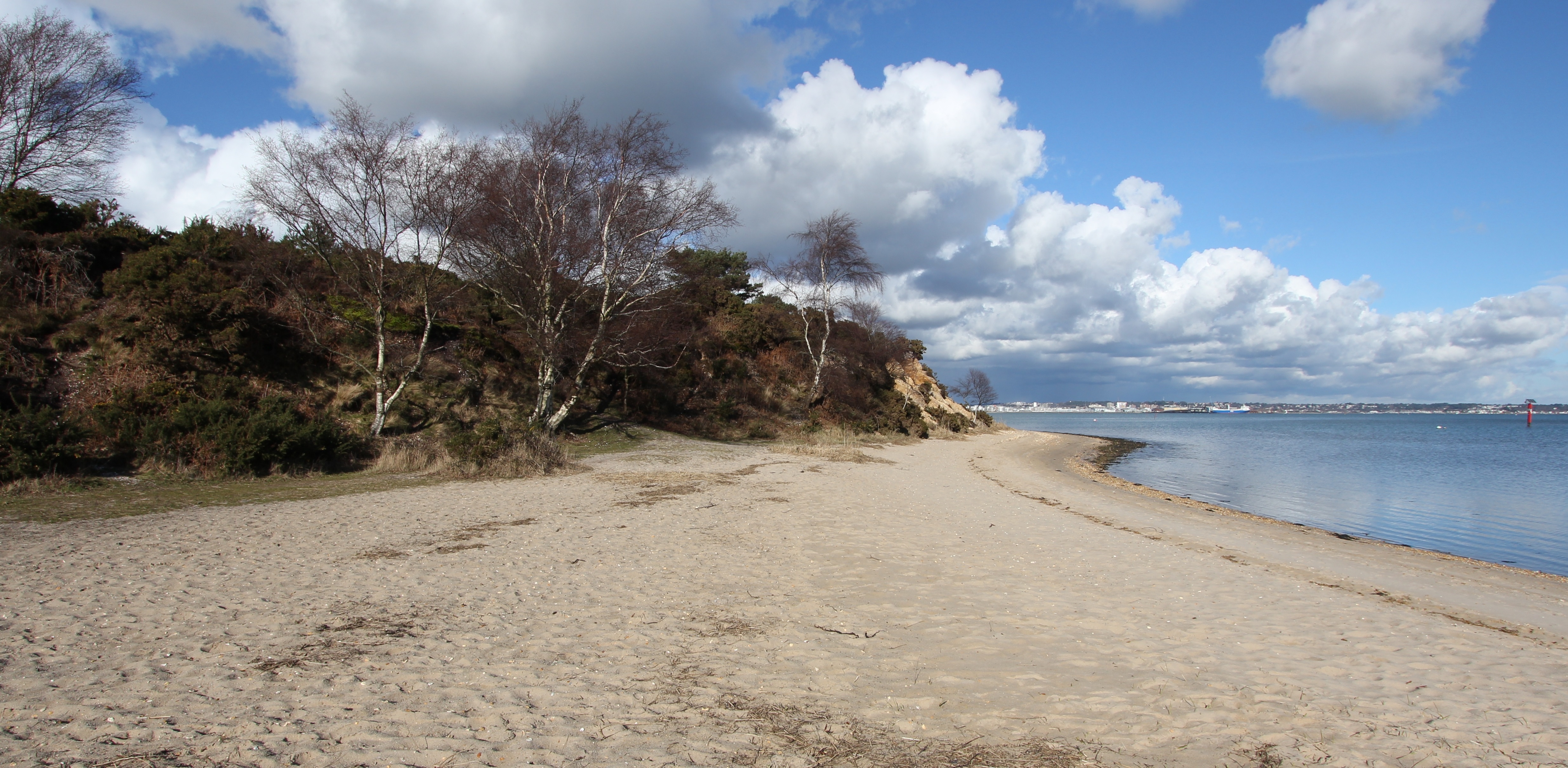
The view looking ENE at the southern end of Shipstal Beach. The path up to Shipstal Hill or back through the inland reserve is to the left. The southern spit (see below) continues in the bottom right of the photo.

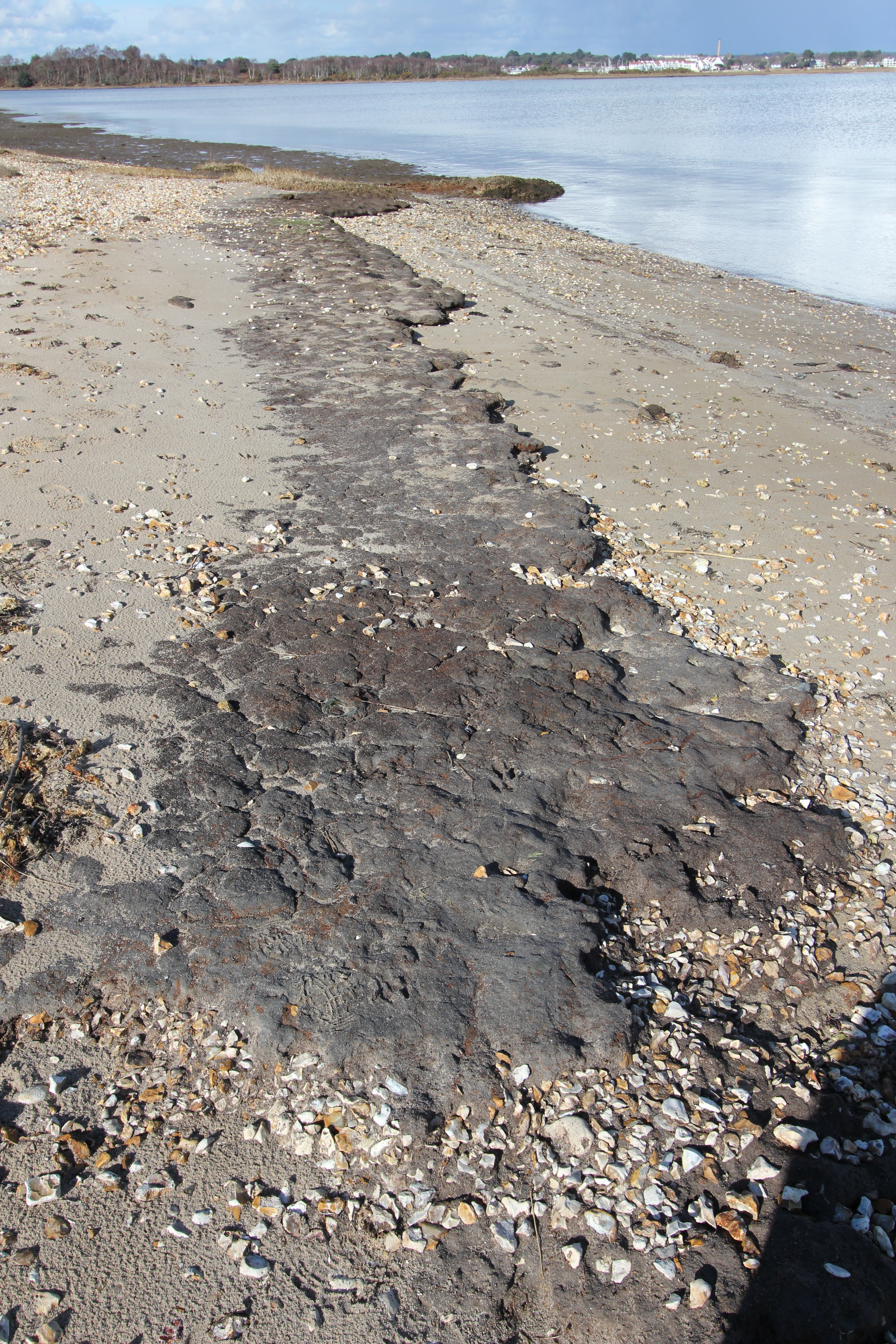
The beach is a mix of sand with some shingle (and shells), and the latter increases as you get to the water’s edge before mixing with underlying mud flats, so, if you intend to dip your toes, wear something to protect your feet in the water:

Shingle and shells at Shipstal Point

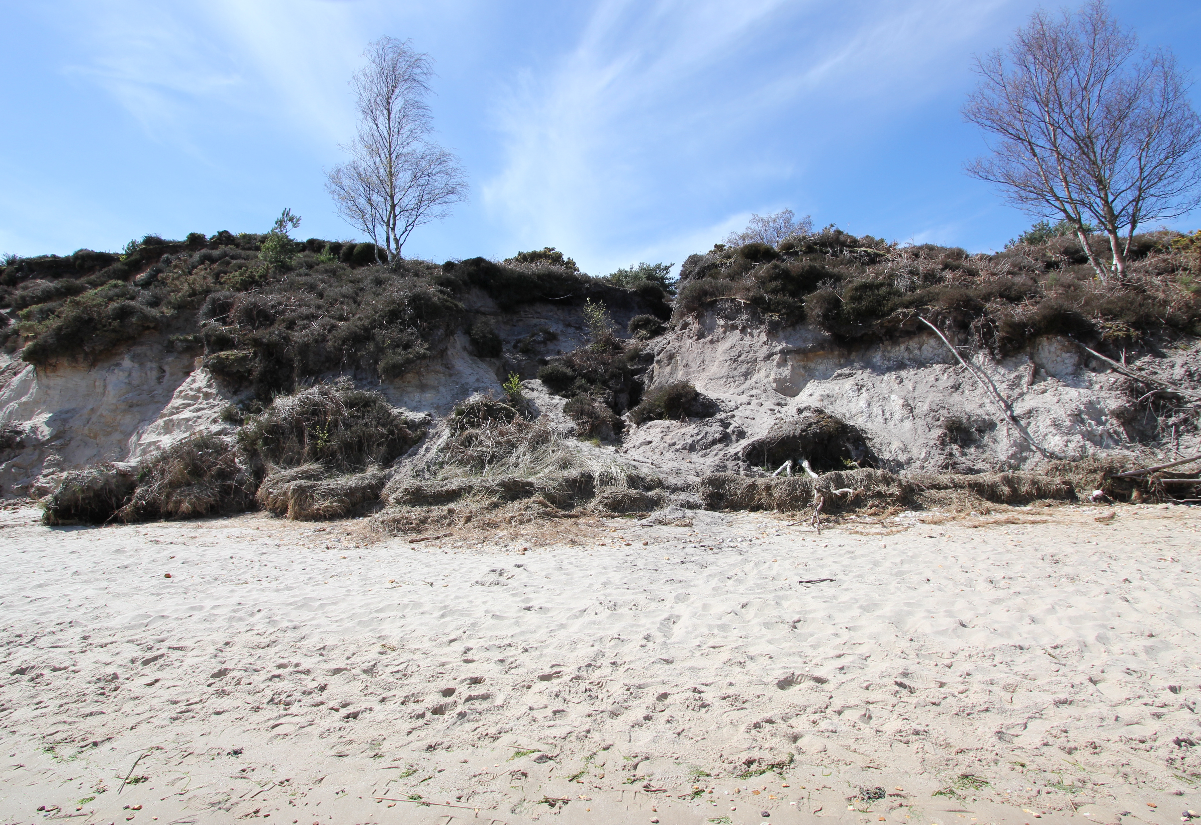
The beach is entirely a product of the cliffs that run its length, starting at a height of 1m by the cottages at Shipstal Point and rising to a maximum of 10m. At its full height the lower 9m of the cliff is primarily comprised of unconsolidated sands that were laid down by a vast meandering river flowing west to east from what is now Devon and Somerset during the early (56 million to 47.8 million years ago) and middle (47.8 million to 38 million years ago) Eocene epoch, when the area would have had a gradually cooling sub-tropical wet climate.  Above this is a layer of sand and pebble laid down as the wash from sub-arctic glacial rivers during later ice ages.  The sand and shingle surface of the paths on Shipstal Hill attest to the shallow depth of the top layer of the heathland’s peaty soil.
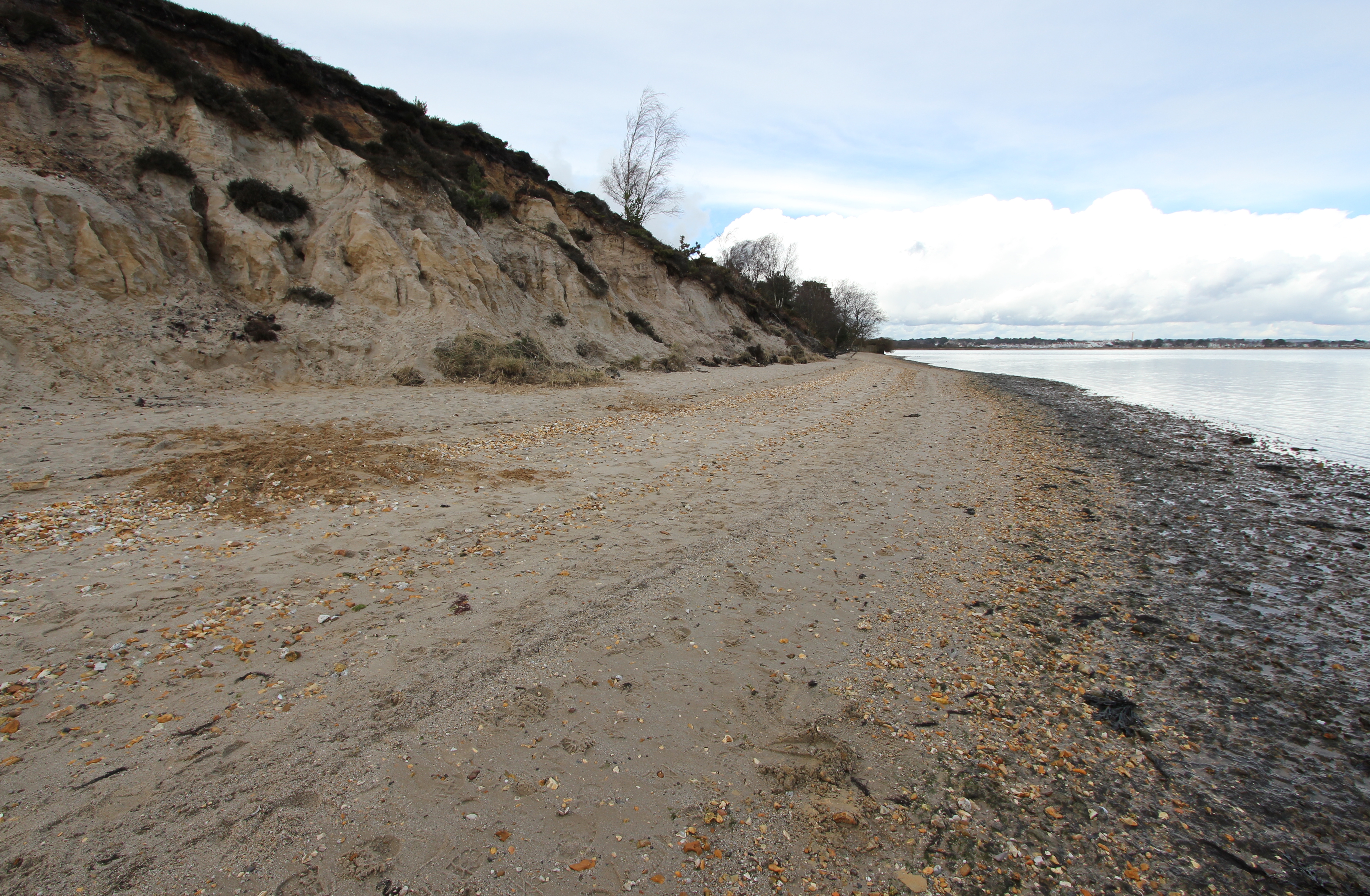
Looking towards Shipstal Point from where the cliff quickly rises above the beach it has created.
With 40-50 million years of hindsight this is the view looking upstream at the river which deposited these exposed Poole Formation “fine to coarse quartz sands with occasional lenses of white clays. […] The sands, which have been identified as underlying the Broadstone Clay, were areas of fast flowing water that washed away the finer material, while the clays were the deeper pools where the finest material collected.” [Source: DIGS]
With 40-50 million years of hindsight this is the view looking upstream at the river which deposited these exposed Poole Formation “fine to coarse quartz sands with occasional lenses of white clays. […] The sands, which have been identified as underlying the Broadstone Clay, were areas of fast flowing water that washed away the finer material, while the clays were the deeper pools where the finest material collected.” [Source: DIGS].
Rainfall is the major cause of cliff erosion at Shipstal, cutting gullies and causing slumpage in the unconsolidated sediments, and although prohibited, human ‘exploration’ is a further contributory factor to the damage.
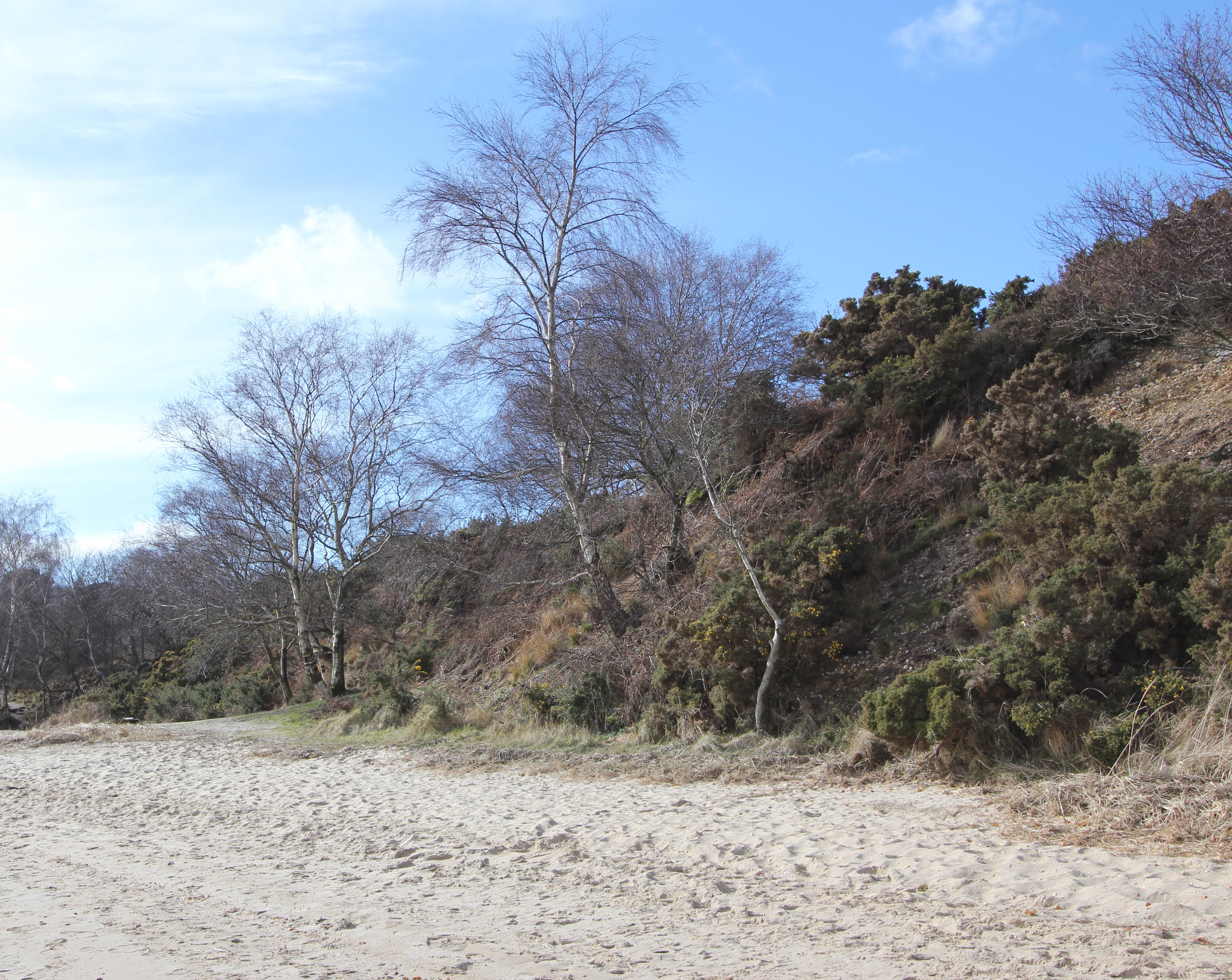
At the shallower slope of the southern end of the cliff grasses, shrubs and trees help bind the surface whilst also inhibiting human footfall and damage. Protected from the sea by the saltmarsh and the spit formed by longshore sediment drift, this section suffers less erosion.

The southern spit

At its southern end the beach continues for about 130m as a thin strip backed by salt marsh until it abruptly ends at a small creek.  This spit didn’t exist until the 1920’s, and was created following the spread of Common Cord-grass (Spartina anglica) into Poole Harbour over the previous 30 or so years.  The wave pattern which previously flowed south to north across Middlebere Bay against the Shipstal coast was blocked and refracted by the Spartina, causing the north to south littoral drift of sand and shingle that built the spit.
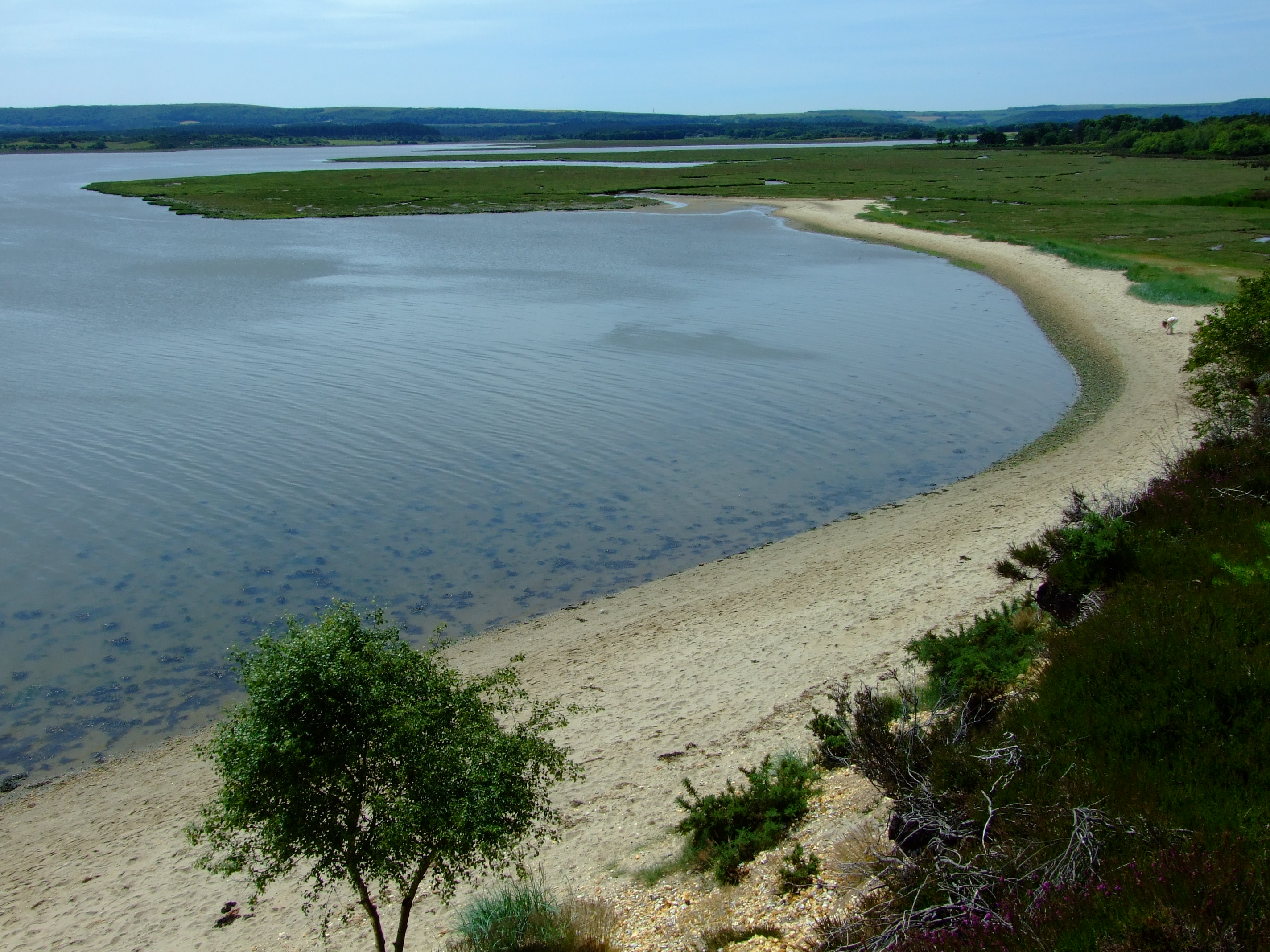
Looking south along the beach towards the salt marshes from the cliffs above Shipstal Beach just after midday at the end of June 2013. Not too busy. The southern spit starts at about the point where the child is standing in this image.
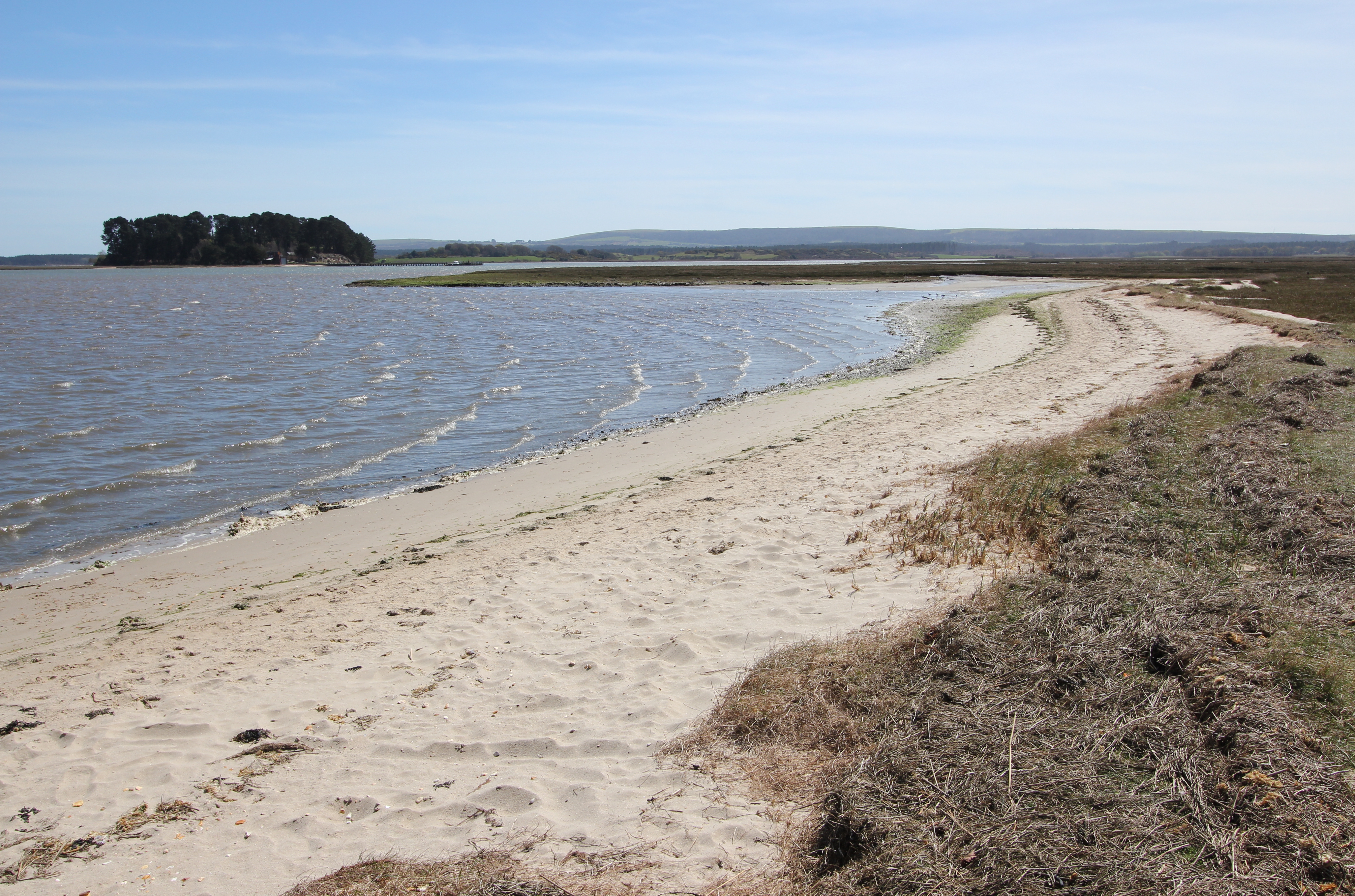
The southern spit in late April 2016.

You are fairly likely to see military helicopters in flight during a trip to Arne, given that the harbour is the location of a Royal Marines base:
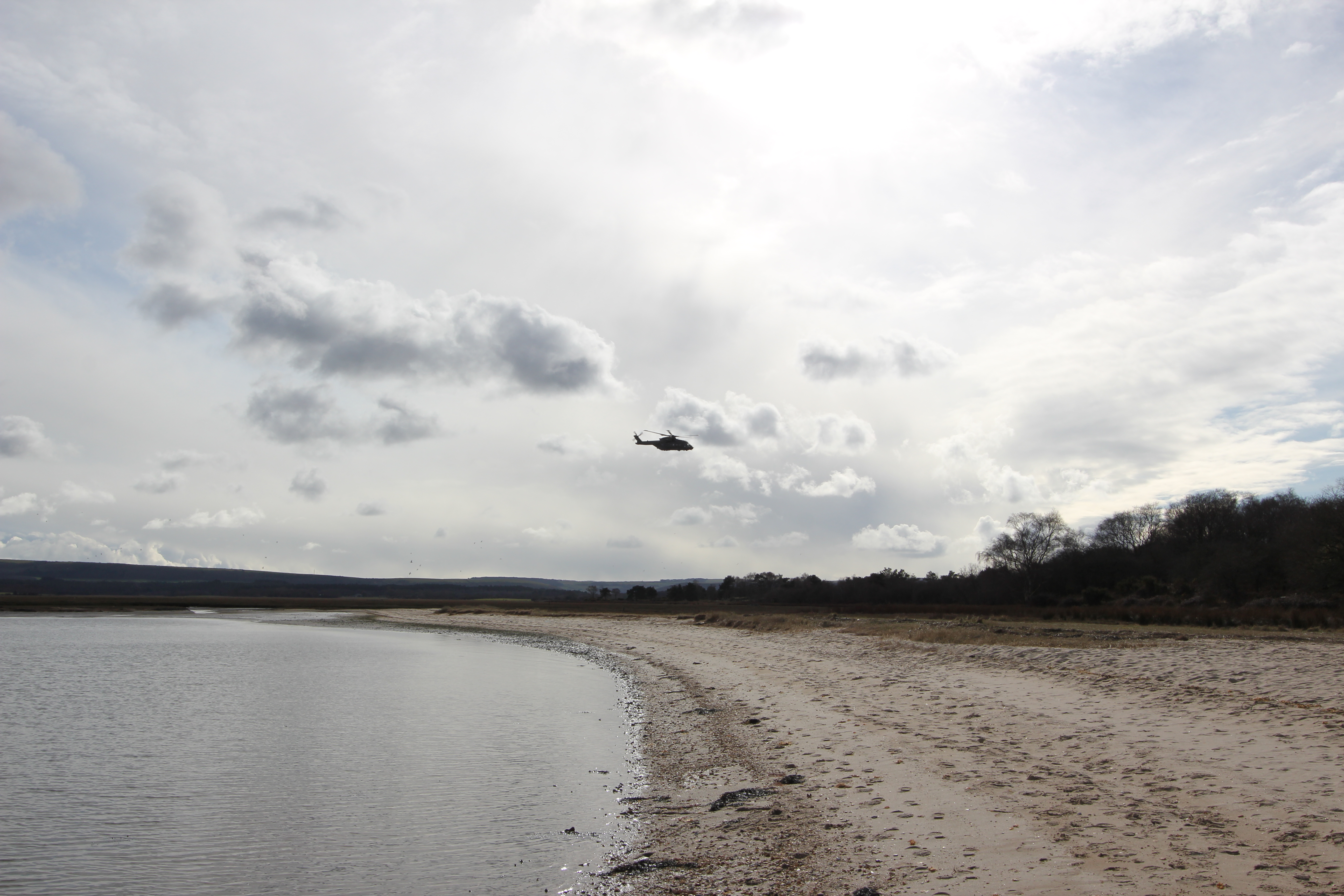
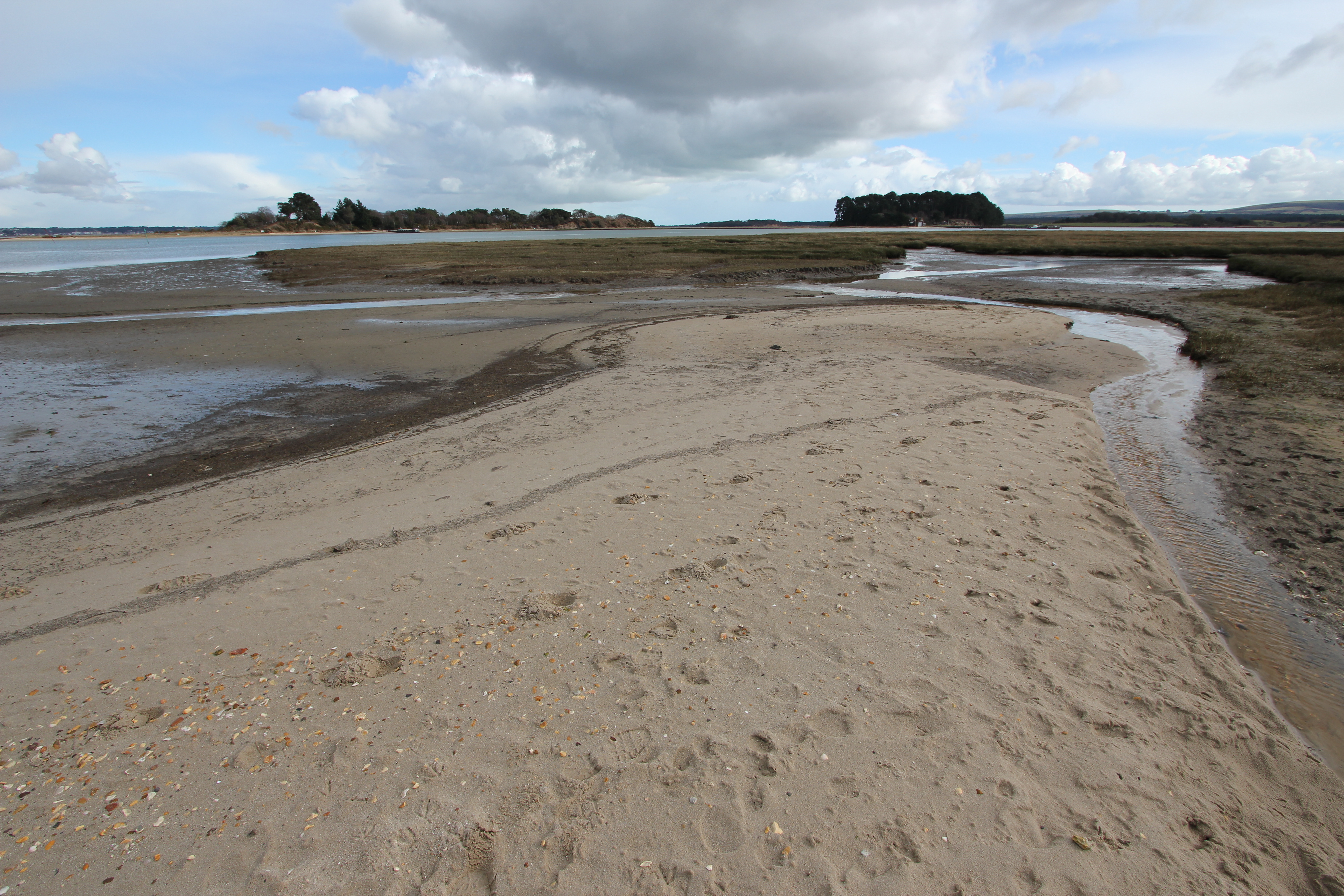
An AugustaWestland Merlin Mk 3 (or Mk 3i), near the southern spit at Shipstal in March 2016. This helicopter is probably from 846 Naval Air Squadron (NAS), as the primary customer for the Commando Helicopter Force (CHF) is The Royal Marines.
At the end of the southern spit, looking over the saltmarsh to Long Island (L) and Round Island (R).
The view back to Shipstal from the end of the southern spit. At higher tides it is possible to explore the marshes more closely.

By the early 1920’s S. anglica covered over 1977 acres (800 ha) of Poole Harbour mudflats, but from the later years of that decade it has died back to a current coverage of about 790 acres (320 ha). This is good news for wading birds such as the Black-tailed Godwit (Limosa Limosa) which can now be seasonally found in good numbers around Arne.  Although this spit currently remains stable, grazing and trampling damage by the local Sika deer population has been a concern.
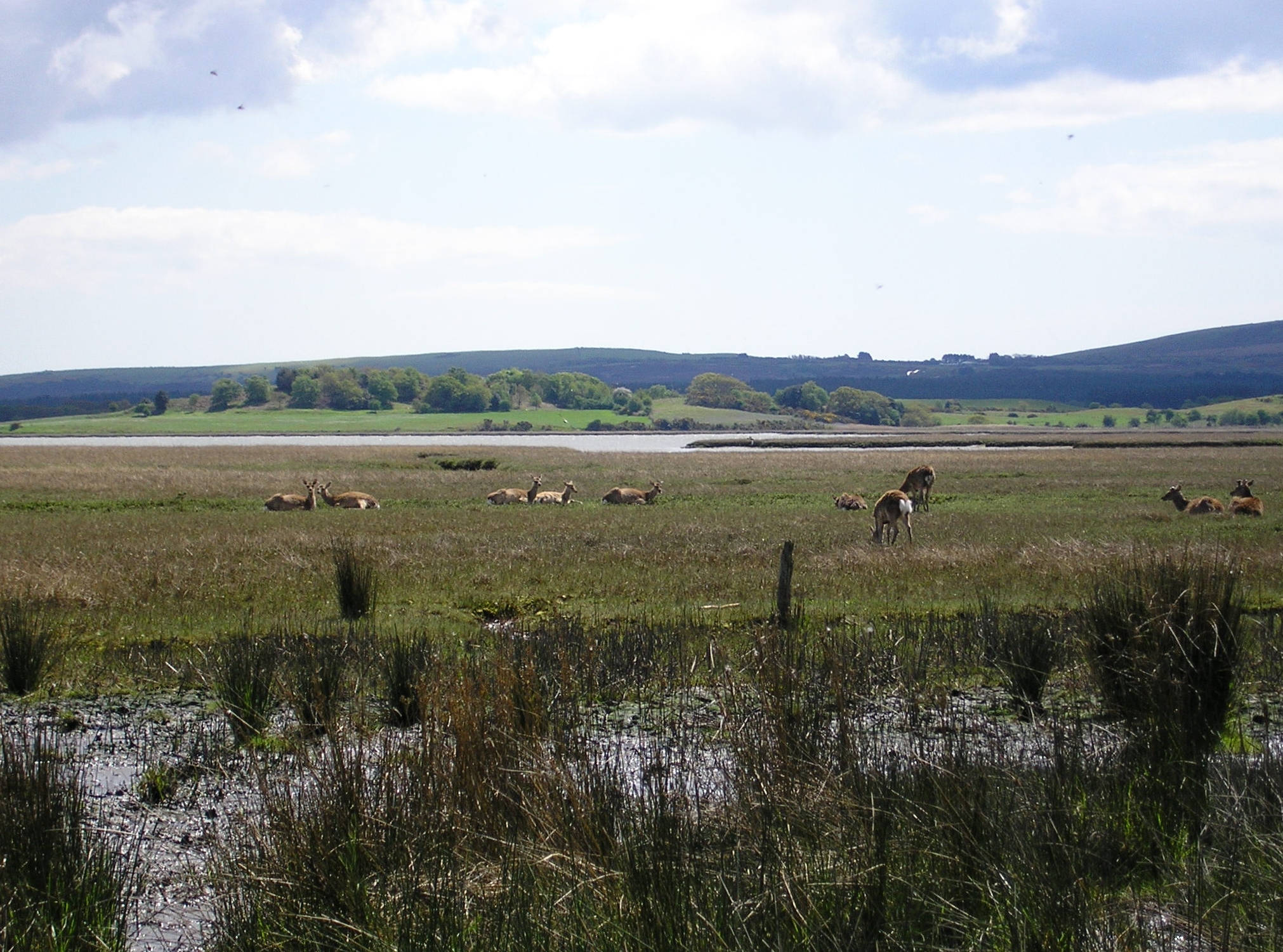
Sika Deer (Cervus nippon) on the saltmarsh at the southern spit.

The Sika deer of Arne were originally escapees from Brownsea Island who established themselves in the area after swimming ashore.  The Arne herd size has been controlled in recent years due to over grazing and trampling damage, and now numbers around 200 individuals.  You’re highly likely to see Sika Deer during any visit to the reserve, and if you’re lucky possibly one of the white ones.

Beyond the salt marsh the footpath inland passes the site of a former Romano-British pottery kiln. This location has also produced nearby evidence of Late Iron Age/Roman salt production: “Occupation Debris connected with the salt industry occurs in a strip at least 170 yds. long and 25 yds. wide at the edge of the scarp bordering the mud-flats of Poole Harbour S. of Shipstal Point (central point, SY 98198809).” [Source: BHO
Beyond the salt marsh the footpath inland passes the site of a former Romano-British pottery kiln. This location has also produced nearby evidence of Late Iron Age/Roman salt production: “Occupation Debris connected with the salt industry occurs in a strip at least 170 yds. long and 25 yds. wide at the edge of the scarp bordering the mud-flats of Poole Harbour S. of Shipstal Point (central point, SY 98198809).” [Source: BHO].
Wherever you stand at Shipstal, you are bound to spend some time just looking out over Poole Harbour.  From Shipstal Beach the closest island is Long Island, which lies just 280m ESE across the Wych Channel.  The Blom-sourced aerial image on the Bing Maps Bird’s eye view of Long Island clearly shows the 31 acres (12.5 ha) extent of the island and the 9.5 acres (3.8 ha) that remains above water at high tides.

It is usually uninhabited, with no buildings or planning permission, but in the mid-1950’s master potter Guy Sydenham moored a converted WWII motor torpedo boat, the MV Oklahoma, at Long Island with the permission of the historical owners, the Rempstone Estate.  Setting up home there with his wife Joan and newly born son Russel Arne, he built a wheel and kiln to work with a seam local Purbeck blue clay (ball clay) between commuting to work at Poole.  His son continues the family tradition at Newbarn pottery.

For many years visitors would haul up in canoes and kayaks or small tenders from the many pleasure boats that stop in the Wych anchorage.
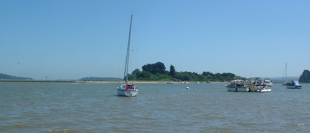
A view of Long Island from Shipstal Beach in June 2002.

In 2007 Rempstone closed Long Island to public access in anticipation of its sale, and a temporary helipad was marked out on the SSSI protected island to fly prospective buyers in.  After the 2009 failure of a legal appeal to have historical use declared as the basis for establishing a formal public right of way, Long Island was bought in 2010 by local house builder Dave Wyatt for a reported sum of around £3 million.

Further away from reach than ever? A view of Long Island in March 2016 from the beach…
…and from cliff top path. The shore of Long Island is now littered with large “Private Property No Landing” signs and a barge for the accommodation of security guards. However, the foreshore is still technically accessible (see previous link).

To the south of Long Island, separated by only the narrowest of channels through the saltmarsh, the 15 acre (6 ha) Round Island is also privately owned.

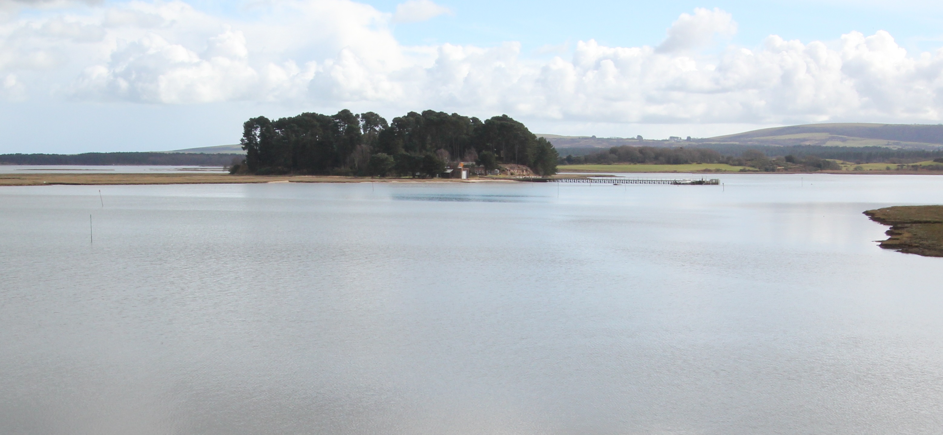
Round Island lies to the right of Long Island in this image taken from the end of Shipstal Beach/the start of the southern spit in March 2016.
There are four accommodations for rent on Round Island which also has some tiny strips of groyne-gathered sand for guests.

The northern spit

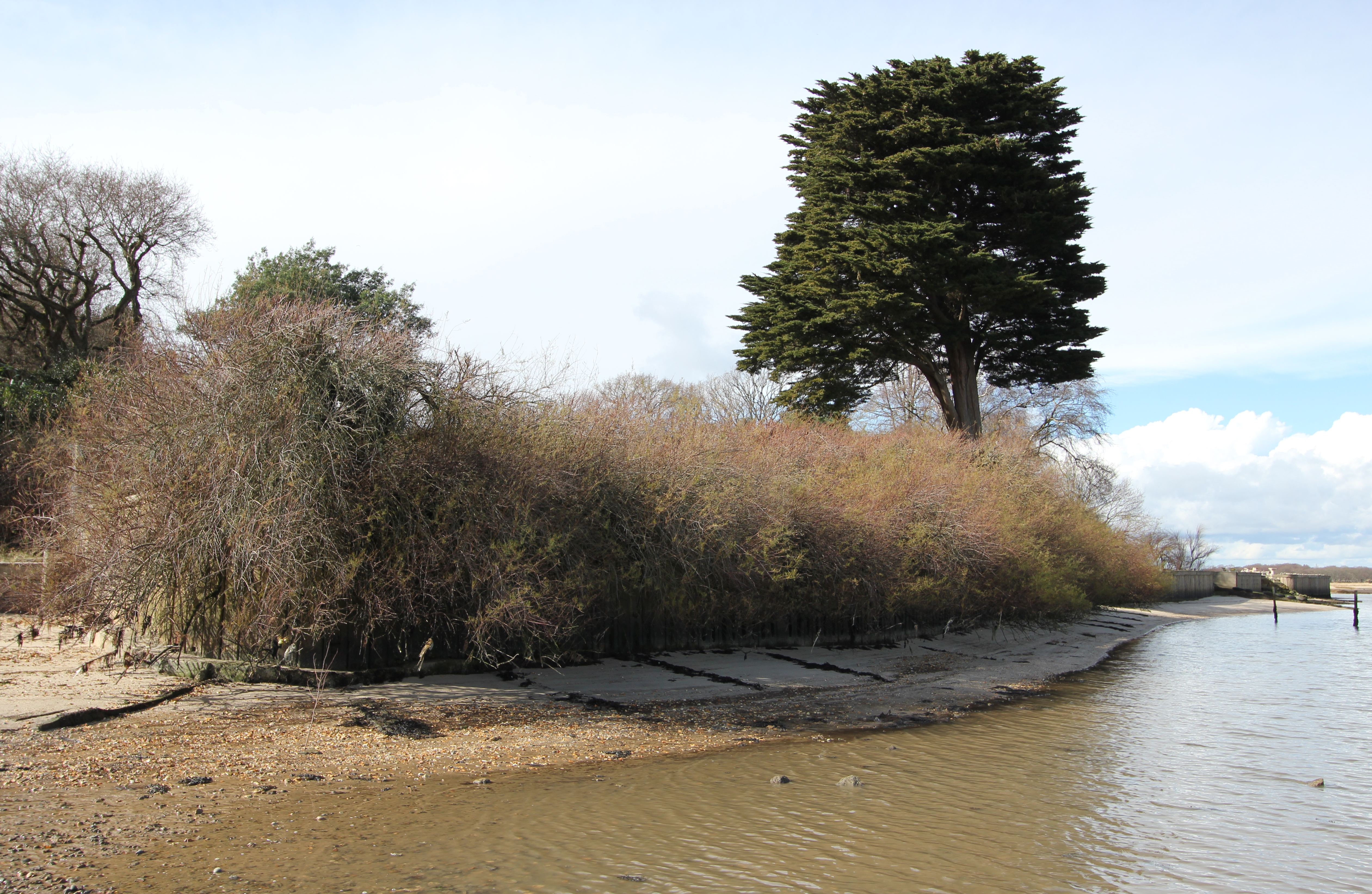
From Shipstal Point it is possible to walk along the frontage of the private properties at low tide and reach the small northern spit, but not when this tide comes in as it is doing here.
The north spit extends into Arne Bay for about 425m…
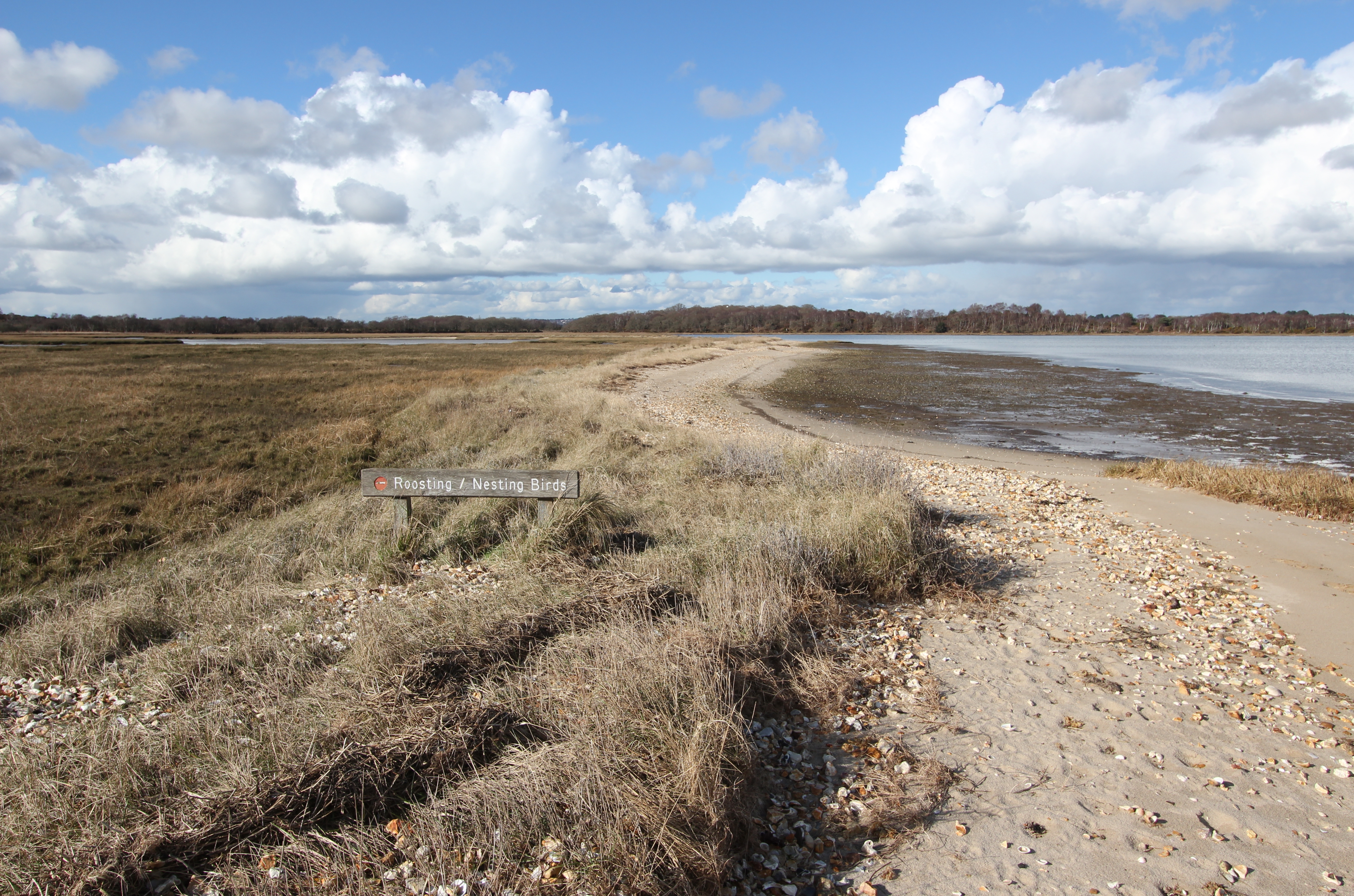
…but most of it is inaccessible, being reserved for roosting/nesting birds. Take a good pair of binoculars or spotting scope if intending to watch birds from here.
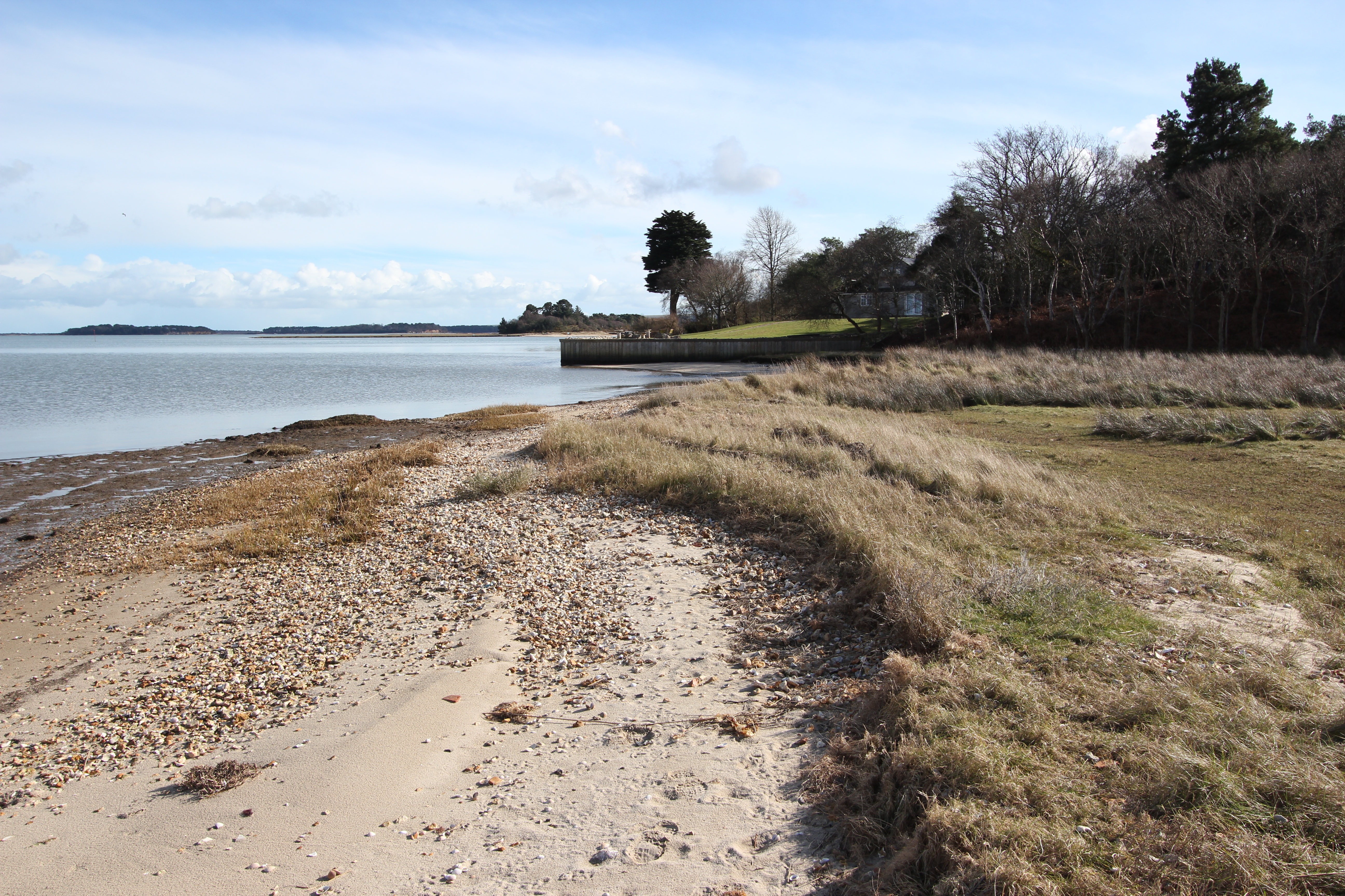
The view looking south from the northern spit. Above the tables atop the sea wall and the rising grass slope a new family home was constructed here in 2014.
The northerly progradation of this spit has been altered by a change in the availability of longshore drift sediment from the Shipstal cliff, possibly due to the groynes and boat ramps along the seaward wall frontage of the private properties, and the sand and shingle is moving landward onto the marsh.

Arne’s other beaches

There’s a second line of slim beach frontage intermittently running up the western edge of the peninsula from Hyde’s Quay and Turford, before gently arcing around past the northern crest of Arne Peninsula from Russel Quay in the west to Gold Point in the east, and on round to Patchins Point.

As noted on the earlier referenced mapping, these beaches are all the product of littoral drift of material supplied by the cliffs along the west of the peninsula.

I’m not sure if these mostly contiguous stretches have additional individual names, but they are much quieter than Shipstal.  The reason for this is largely one of access – they’re simply more difficult to get to.  The official routes currently promoted by the RSPB at Arne don’t include the substantive vehicle track heading north past the old clay quarry which has now been remodeled as a saline lagoon, but that’s another story.  For the time being, you might want to consider an alternative method of getting to this peaceful place of escape.

We visited the north shore of Arne a little west of Gold Point briefly in 2007 by taking our small outboard inflatable south across the half mile of water from Lake Pier in Hamworthy. Small craft crossing the channel here might want to consider first heading due south towards Gold Point along the eastern limit of the designated waterski area. You need to arrive during a reasonably high tide level in order to avoid the mud at low tide (in an outboard you may have to raise the motor and row your way inshore to the beach).
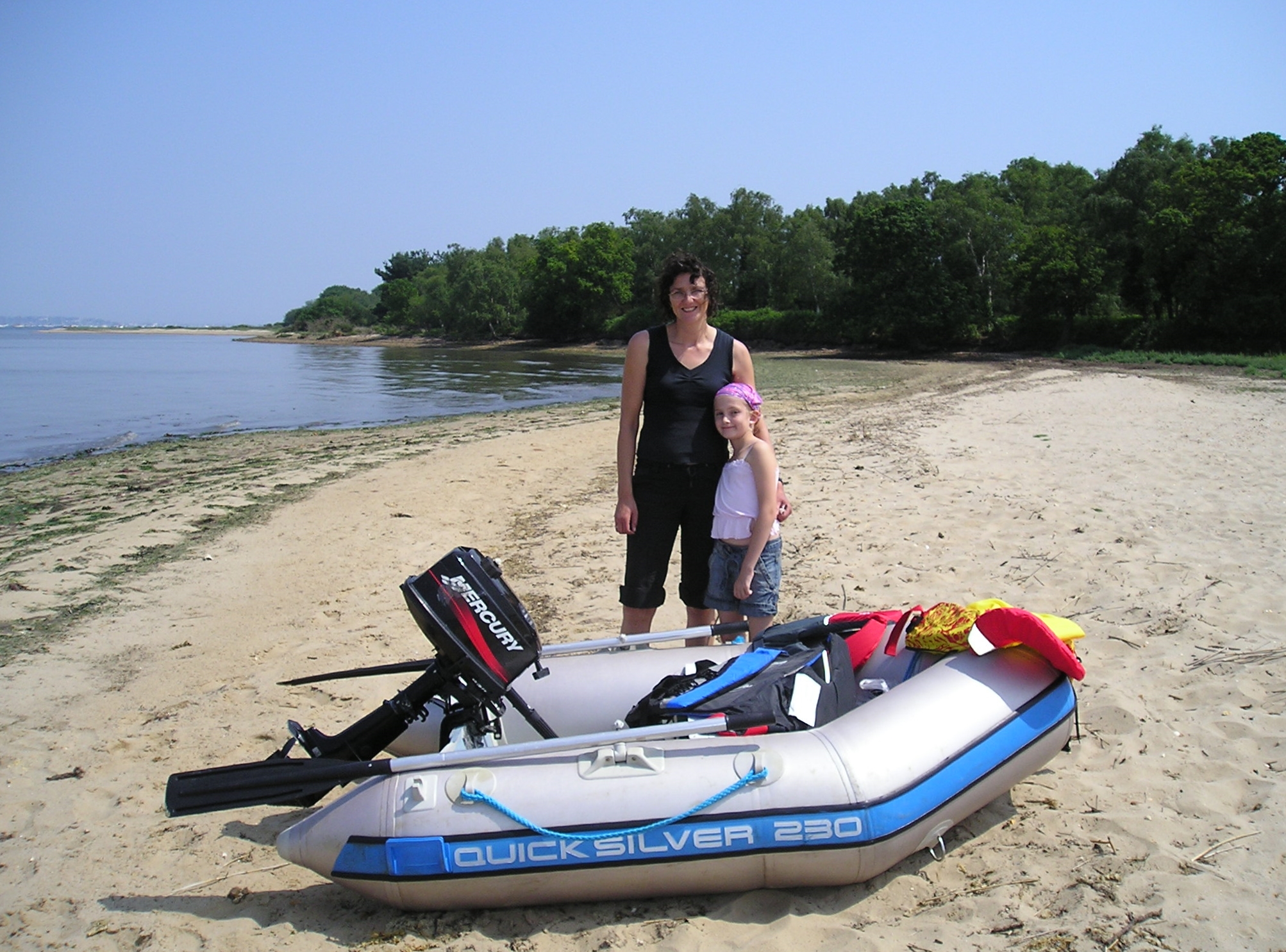
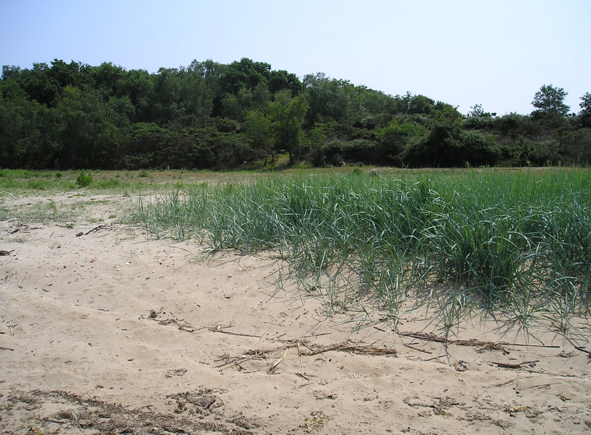
A beach to ourselves. June 2007 at Arne’s most northerly extent.
Froxen Copse (marked as “Frogstone Copse” on the 1888 Ordnance Survey map) viewed from the beach looking south.
The view looking west with Gold Point behind us. Our onward trip that day took us east from our first landing and round past Patchins Point and Shipstal to a landing for lunch on the beach at Long Island.

There’s an account of an unintendedly slightly longer visit to Gold Point from 2009 on the canoeists’ forum Song Of The Paddle,

If you prefer to stay standing to get across to Arne, SUP Explorer provides a suggested route that encompasses both the beaches of northern Arne and a trip to Shipstal with some nice close-up images of paddling around Long Island and Round Island.

Should you find yourself to the west of our landing, in the vicinity of Russel Quay, you might find a few dinghies belonging to Sherborne School Sailing Club stored on the shore just to the north east of the point…

Approaching Russel Quay in April 2015 [© Copyright Peter Trimming and licensed for reuse under this Creative Commons Licence].
The SSSC dinghies were still there as of April 2016, attesting to the great conditions Poole Harbour offers for small boats. A group of canoeists and kayakers travelling out of Wareham photographed a stop at Russel Quay in 2013.

…but you’re unlikely to find much evidence of its industrial history.  A “Report of the Commissioners Appointed to Inquire Into the Municipal Corporations in England and Wales” (Hansard 1835) stated that “at all tides vessels of several hundred tons can anchor at Russell [sic] Quay”, but, although still marked as a pier on the bottom left of the 1902 Ordnance Survey map, “An archaeological investigation of Russel Quay, Poole Harbour” (2004) by Gordon Le Pard reported only finding “the remains of a timber structure and scatter of nails on the northern shore of the Arne peninsula, identified as a post-medieval quay, probably of eighteenth- or nineteenth-century date, and associated barge debris.”  For ‘remains of a timber structure’ read ‘the short rotted stumps of a few posts’, but at least it still provides an indication of the direction of the former pier for a bit longer:
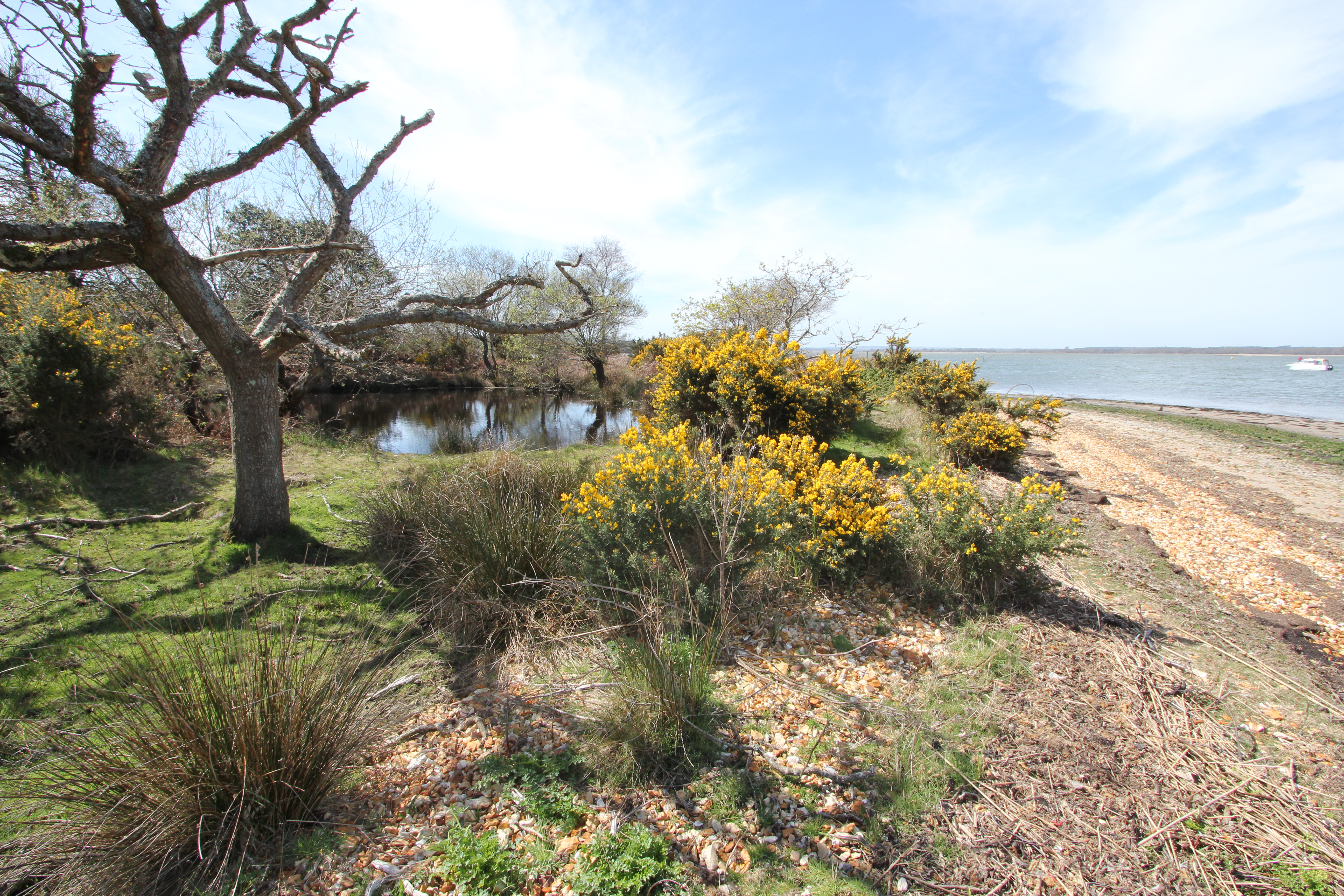
The remnants of Russel Quay, Arne

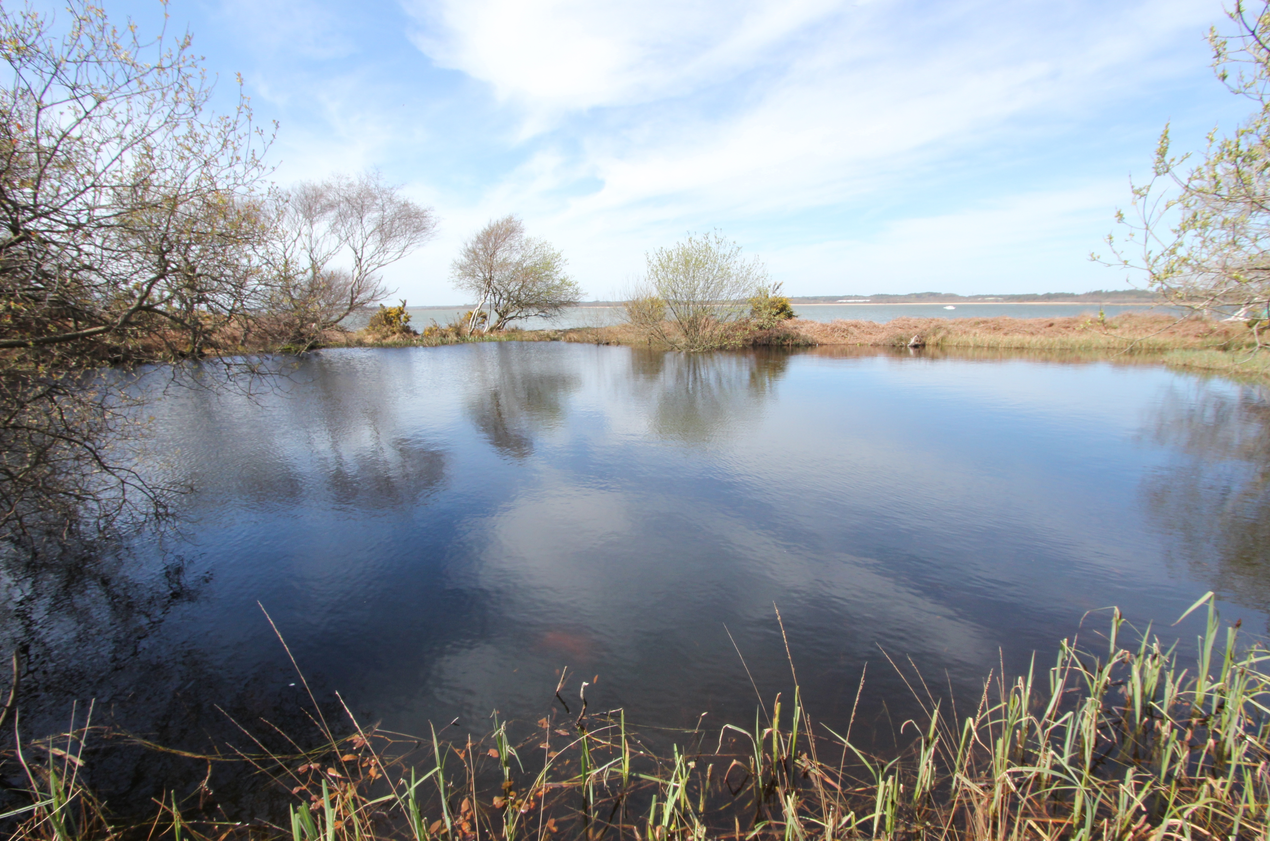
As you round the point heading south at Russel Quay there are two small pools separated from the beach by a thin strip of earth embankment. The northern-most pool is the smaller…
…while from the back of the larger water body to the south there is almost the appearance of it having been created as an ‘infinity’ pool overlooking the Wareham Channel.

It’s also worth remembering that another slightly larger vessel moored at Russel Quay in 1941, when a group of men gathered here to prepare themselves and a fishing ketch called the “Maid Honor” for special seaborne operations against the Axis powers.  While accounts of target practice against the cliffs, birdwatching, and dinner in Wareham might sound rather relaxed, this was the SOE Maid Honor Force/62 Commando group (later the Small Scale Raiding Force (SSRF)) that would first prove themselves through Operation Postmaster.

[L-R] Maj. “Gus” March-Phillips, DSO, OBE, MBE; Major J Geoffrey Appleyard, DSO, MC; Captain Graham Hayes, MC; (then) Pte. (later) Maj. Anders Lassen, VC, MC & Two Bars. All of these men gave their lives in the fight for their countries’ freedom before the end of the war.
[L-R] Maj. “Gus” March-Phillips, DSO, OBE, MBE; Maj. J Geoffrey Appleyard, DSO, MC; Capt. Graham Hayes, MC; (then) Pte. (later) Maj. Anders Lassen, VC, MC & Two Bars. All of these men gave their lives in the fight for their countries’ freedom before the end of the war.
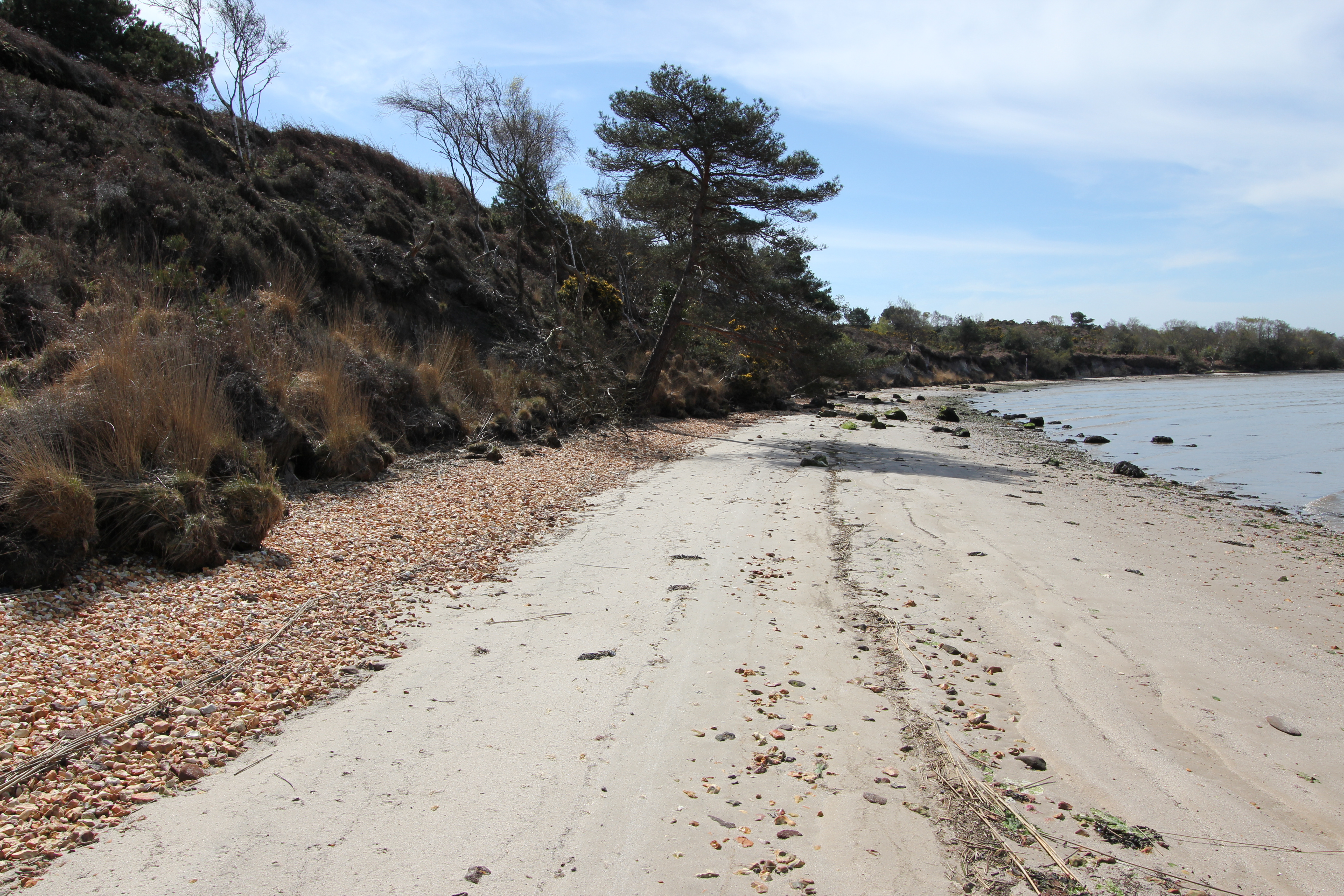
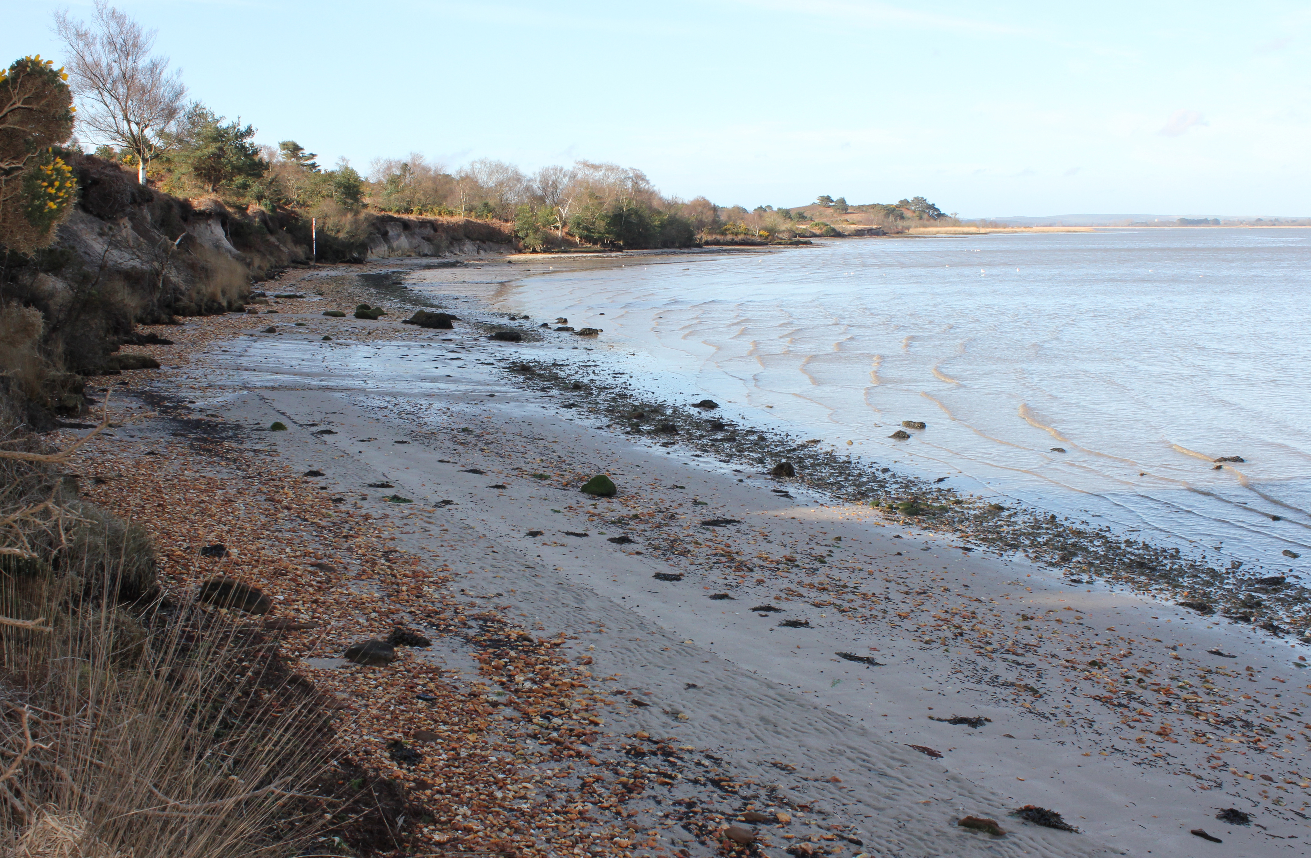
You’re as likely to see fox or deer tracks as human footprints in the sand as you head down the beach from Russel Quay (midday in late April 2016).
The view to the south-west from just south of Russel Quay (early April 2016). As it was before 09:00 when this picture was taken the sunshine on top of the Arne peninsula had yet to reach over the low cliffs, but, as can be seen from the incoming tide, it was a lot calmer than over at Shipstal Point which had all but disappeared under the waves driven by the easterly wind (see earlier images).
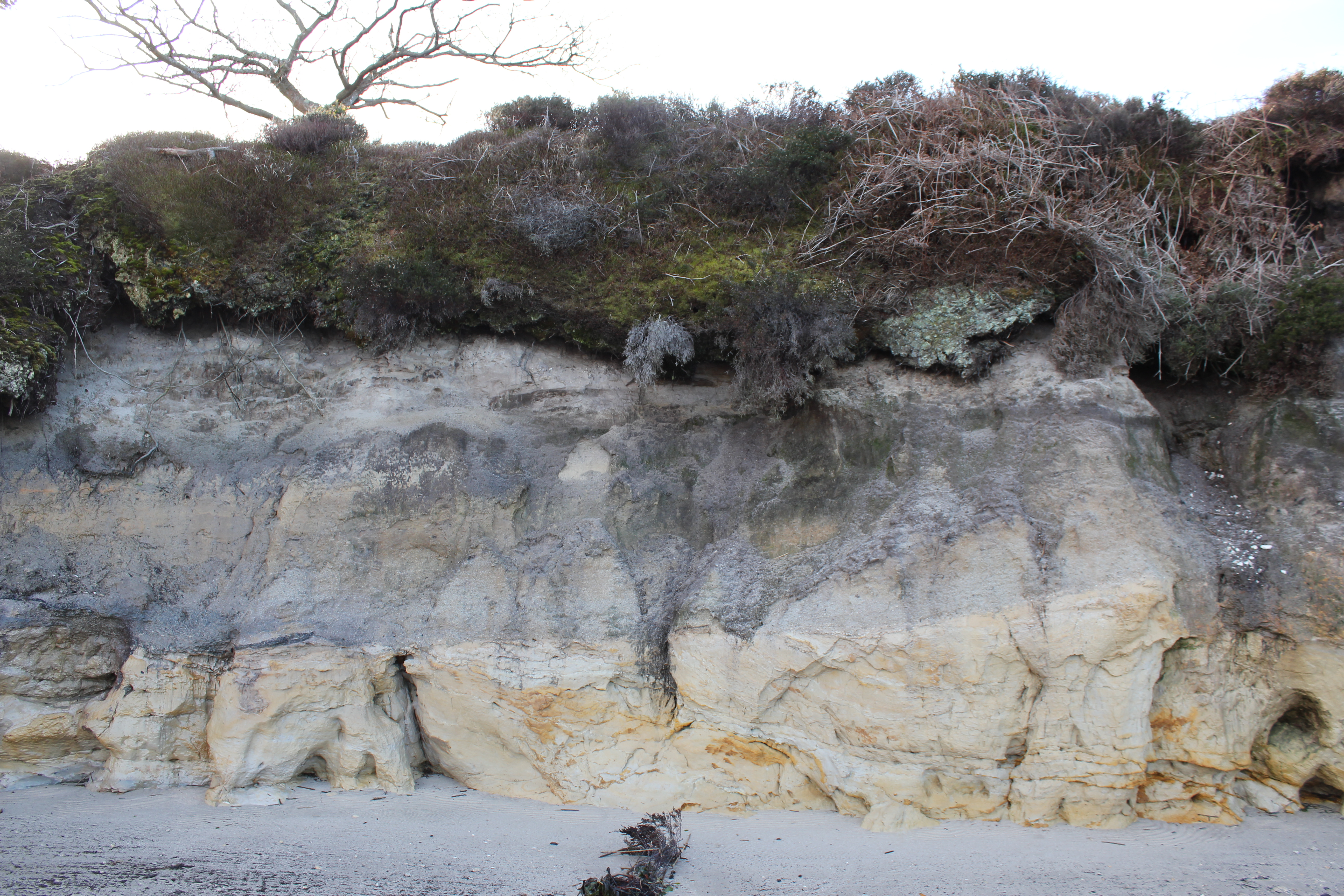
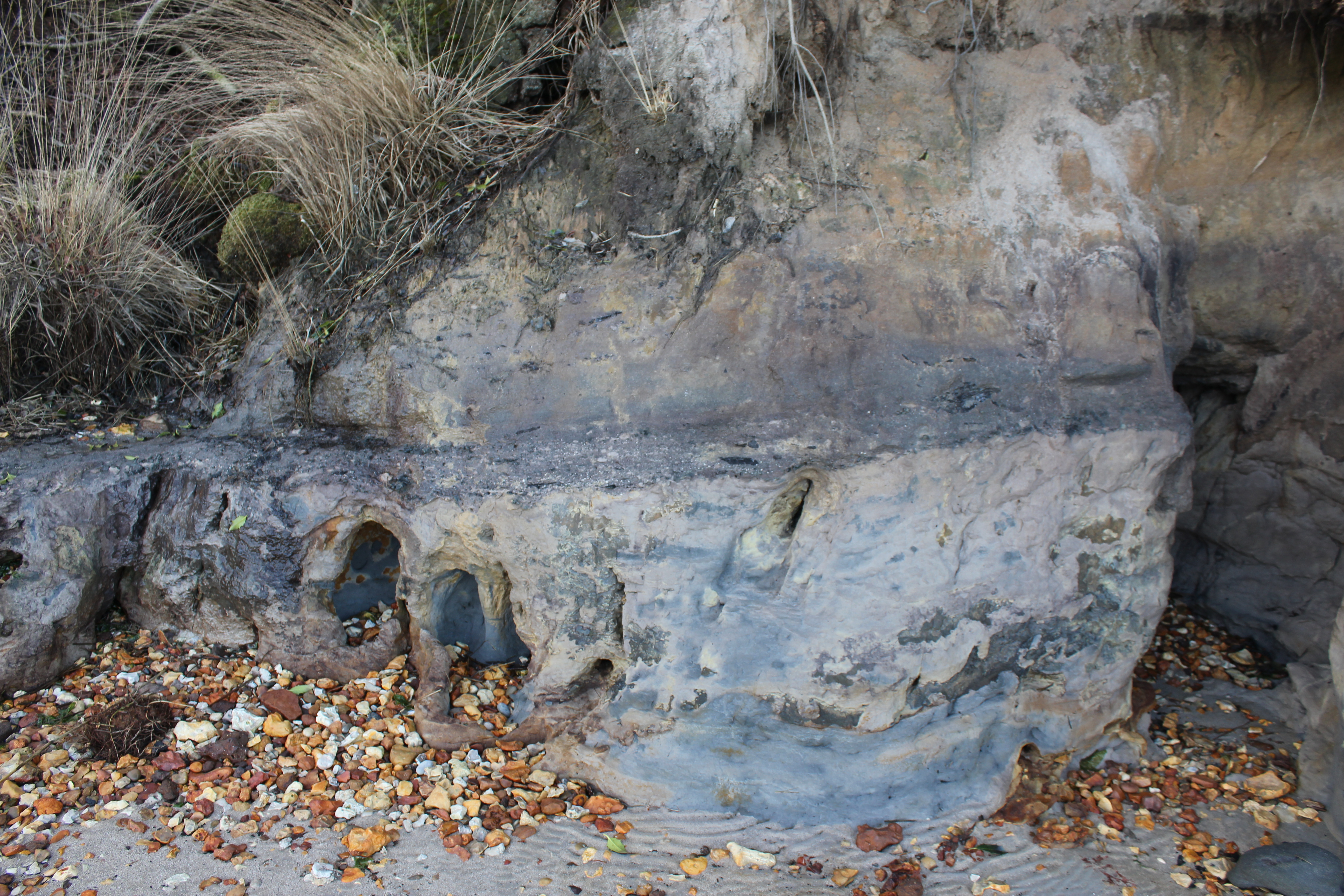
There are some very distinct strata lines in the cliffs of western Arne…
…and some interesting erosion effects.
If examining the cliff face make sure to keep an eye on what might be coming down from above. There are some substantial soil slumps lying at the foot of the cliffs along this stretch of beaches which you wouldn’t have wanted to be caught under when they fell.
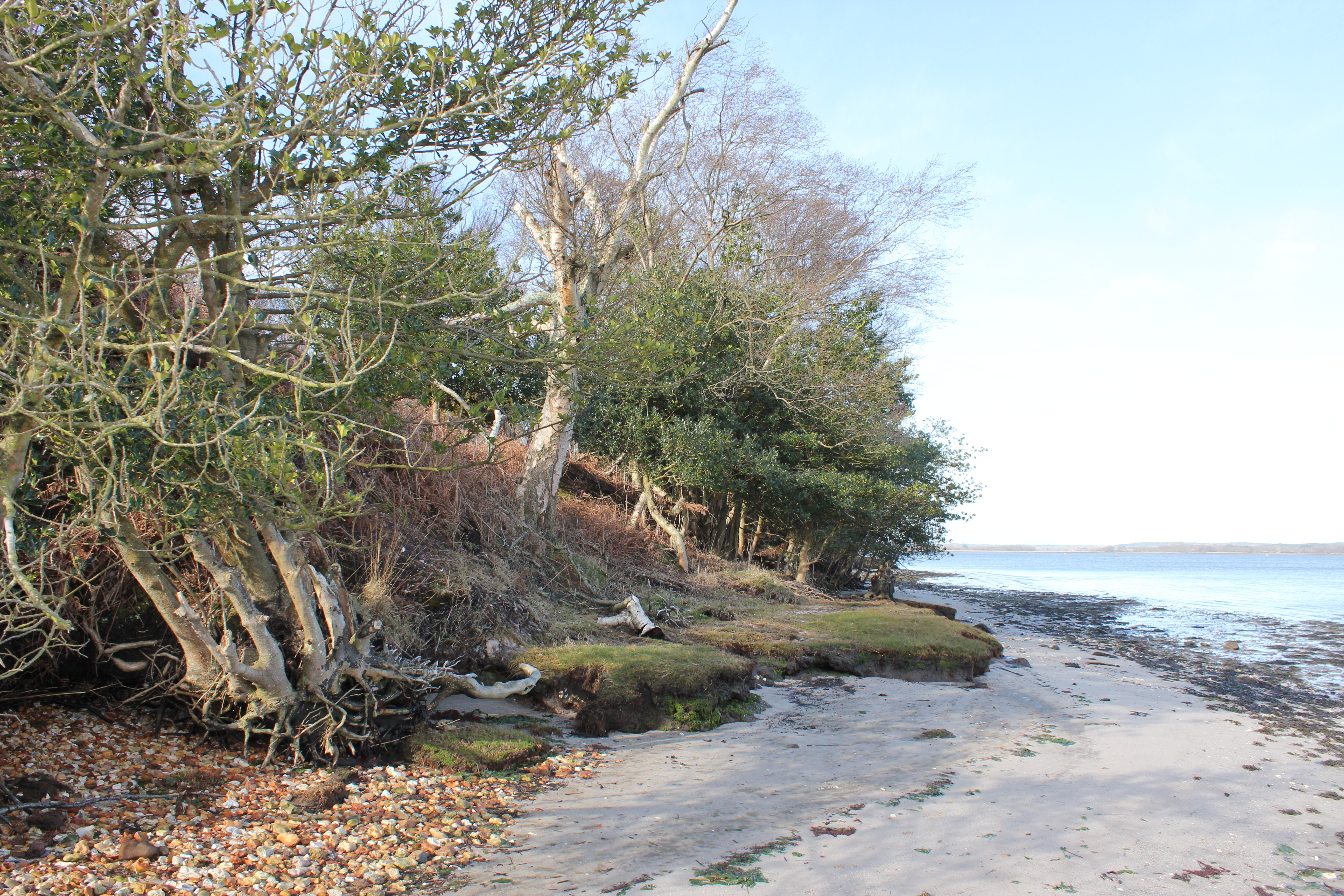
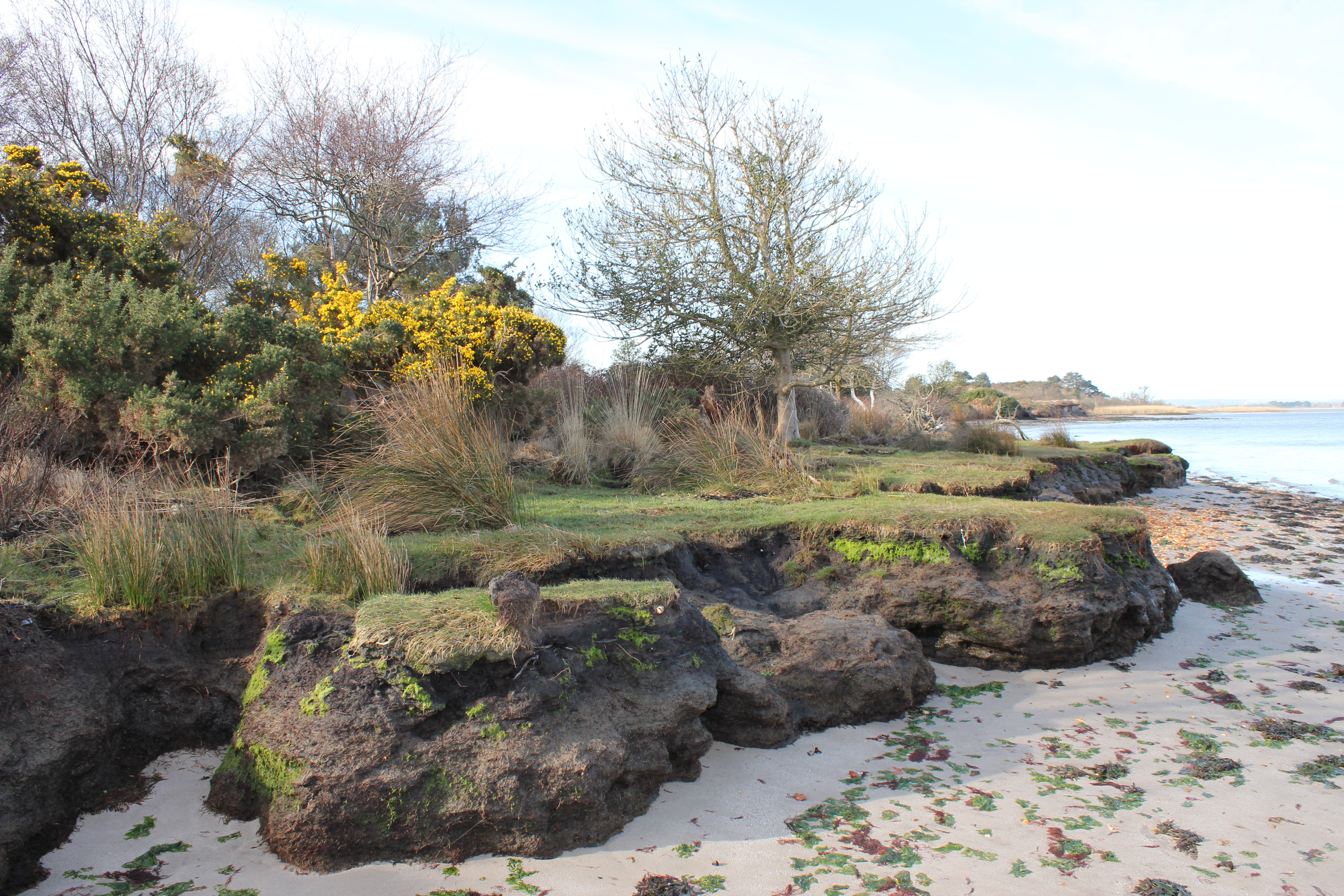
Near white sand and shingle filled indents wash up against tiny grass covered patios at the foot of the slope down from the heathland of western Arne. Above the beach a plethora of small tracks intersect the trees and the bracken.
Sea shore bank erosion. Unlike at Shipstal, there are sections of western Arne beaches where the cliffs and sand remain quite wet throughout the day, partly due to the beaches getting narrower the further southwest you travel and therefore being more prone to complete tidal inundation, and partly due to run off from the slope of the heath above.

A year after our visit by boat a more intrepid explorer travelled over from Lake Pier to Gold Point by canoe, and then headed south west down the coast of western Arne in search of a historically recorded dwelling. This account has plenty of great photos of the comparatively under-reported shores of north and west Arne.
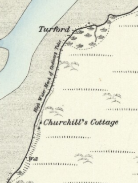
The 1888 Ordnance Survey map showing “Churchill’s Cottage”, and a well.

Although Redcliff Atwell is mentioned in the above referenced account, the location of a Boundary Stone here is not.  The stone was set as a marker to define the extent of the admiralty jurisdiction in Poole Harbour…

“which had a boundary not very accurately defined; but it comprehended certain points which are perfectly well known.  It […] extended in the first place to a spot called Redcliff Attwell, three or four miles from Poole, up the Wareham Channel. […] The perambulations of the extent of the admiralty jurisdiction were always performed with great ceremony. […] The first perambulation recorded in the volume now extant, took place in 1626, and on this occasion the precise location of Redcliff Attwell was pointed out by one John Odwell […] ‘towards Wareham, and right against a little hill called Rattcliffe Attwell; […] being sett on shore att the sayd Rattcliffe, being a small hill with a bancke adioining to the sea, w’ch bancke next vnto the sea is p’tely bare, without heath on grass vpon it, […and] a certayne spring […] called Attwell’ “

[Source: “The History of the Town and County of Poole” by John Sydenham (1839)].

I have no idea if this stone still exists; one for a future ‘expedition’ perhaps.  Similarly, the further coast down to Hyde’s Quay would be interesting to explore, although there are no obvious signs of the location of the eponymous former landing site visible in the aerial/satellite photography I’ve looked at.  This is one of the quieter corners of Poole Harbour, but the historical impact of what Hyde’s Quay represented in the 18th century has been of far reaching and long lasting significance down to the present day.

Thomas Hyde was a merchant who had grown wealthy on the Newfoundland cod and oil trade which was dominated by Poole seafarers in the mid-18th century.  Like his grandfather and father before him, he would become the mayor of Poole (in 1764), but in 1760 he had struck two important business deals.

The first was with one of the three major Purbeck landowners of the time, John Calcraft (in 1757 he had bought the Rempstone Estate), with whom he negotiated the rights to mine Pipe Clay (or Ball Clay as it would become known).  The second was with Josiah Wedgwood, to supply 1,400 tons of clay per year for the Staffordshire potteries.  The wealth enabled Hyde to purchase a Poole High Street mansion and Dunshay Manor as a retreat, but it was not to last, and he is reported to have gone bankrupt in 1792, three years before his death.
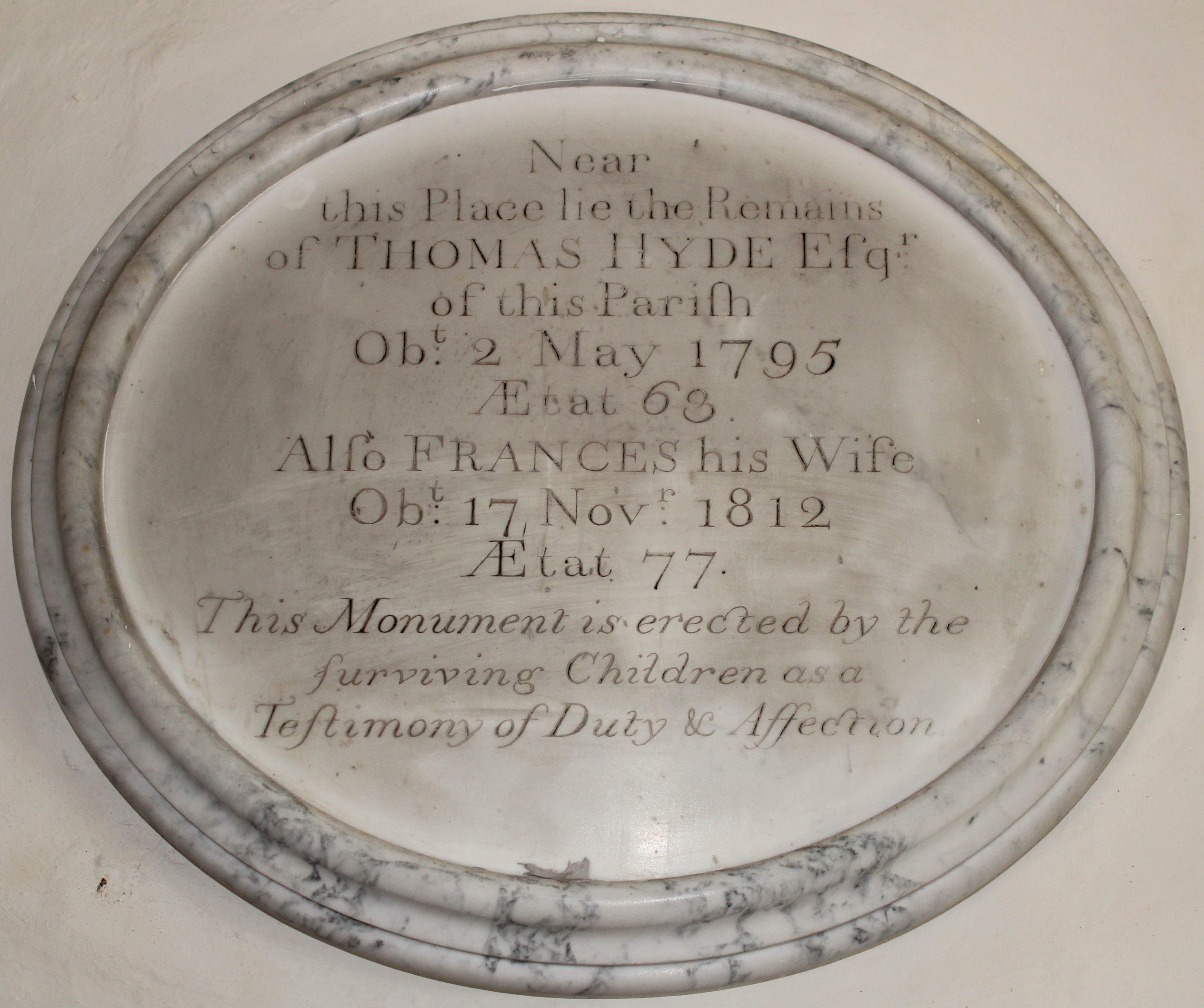
A memorial plaque to Thomas Hyde and his wife Frances can be found in the Church of St. Nicholas in Arne.

The Arne clay substantially contributed to Wedgwood’s ability to create the fine ceramics that built his company’s name and fortune.  The combined share of this money inherited by his grandchildren Emma Wedgewood and Charles Darwin, cousins who married in 1839, provided Charles with the time and financial resources that would allow him to formulate his theory of evolution and write “On the Origin of Species”.

However you get there, the beaches of Arne will never be a waste of your time.  The diversity of the surrounding landscape, the wealth of rare flora and fauna, and the unheralded history of the peninsula offers a setting which, once experienced, will tempt you to return to these shores almost as soon as you leave.

More online information

Family accommodation at Arne:

Having stayed at neither of these accommodations I can’t vouch for them, but if I were to stay in the area School Cottage and the Old Pottery Studio look to be ideal family choices for Arne.  You’d need to book ahead though.

Boat rental:

If you fancy some time on the water a range of boats are available from Poole Boat Hire or Wareham Boat Hire.
An Alaskan jökulhlaups way out west of Anchorage

When your vacation plans start to dissolve, a little flexibility can go a long way, and may even provide you with the opportunity to see natural wonders rarely witnessed by the majority of travellers. This is the story of how we got to see magnificent wetlands and wildlife as well as the results of a jökulhlaups, and why you might want to consider spending an extra day or more exploring to the west of Anchorage.

We arrived in Anchorage from Gustavus (via Juneau) on our penultimate flight with Alaska Airlines on 3rd August.

After a great week down in south east Alaska, where we’d been extremely lucky with the excellent weather, the skies now decided that ‘blue’ and ‘calm’ were over.

Having reserved a couple of slots with Ellison Air at the end of April, we had hoped to flight-see to the north of Anchorage around Denali (a.k.a. Mt. McKinley, as it was then still officially titled) and Prince William Sound to the south east in whatever order the conditions best suited on the 4th and 5th.  As it turned out we wouldn’t get to see either destination on this vacation.

We’d booked accommodation at the Holiday Inn Express because it had a free shuttle from the airport, we could use IHG points to pay for our room, and, most importantly, it was really close to Lake Hood, the “largest and busiest seaplane base in the world”.

Our scheduled flight departures were both for 08:00 because “the mornings usually have the smoothest air and that is a big deal on a long over land trip like McKinley”, but, when we made the 0.2 mi./3 min. walk from the hotel to Ellison Air’s office on Wisconsin Street at the eastern end of Lake Hood (formerly Lake Spennard until a canal was dug to connect the two water bodies), the weather forecast for the day dictated that flights to Denali and Prince William Sound were untenable.

There was still a window of opportunity to take off to the west of Anchorage, and so, with no knowledge of what lay along the top of Cook Inlet, we agreed to the offer to take us out on a more ‘local’ flight and a landing on Beluga Lake beneath the Triumvirate Glacier. Although we didn’t know it at the time, this flight would take us over the rich wetlands and coastal waters of Matanuska-Susitna (Mat-Su) Borough, and, intermittently, into Kenai Peninsula County as we flew up the Beluga River.

The area of our trip from Anchorage to Beluga Lake [Base terrain map data © 2016 Google].
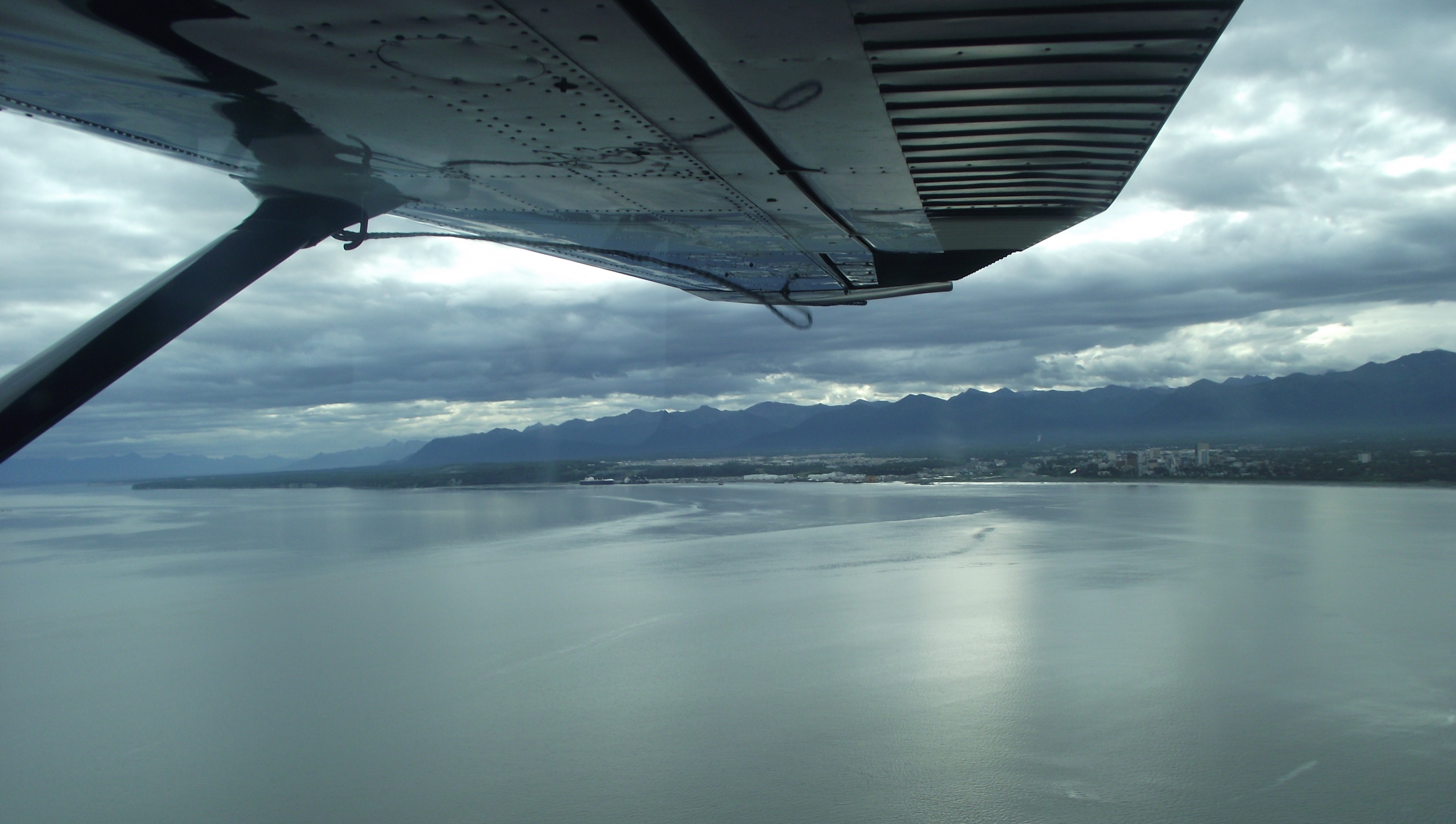
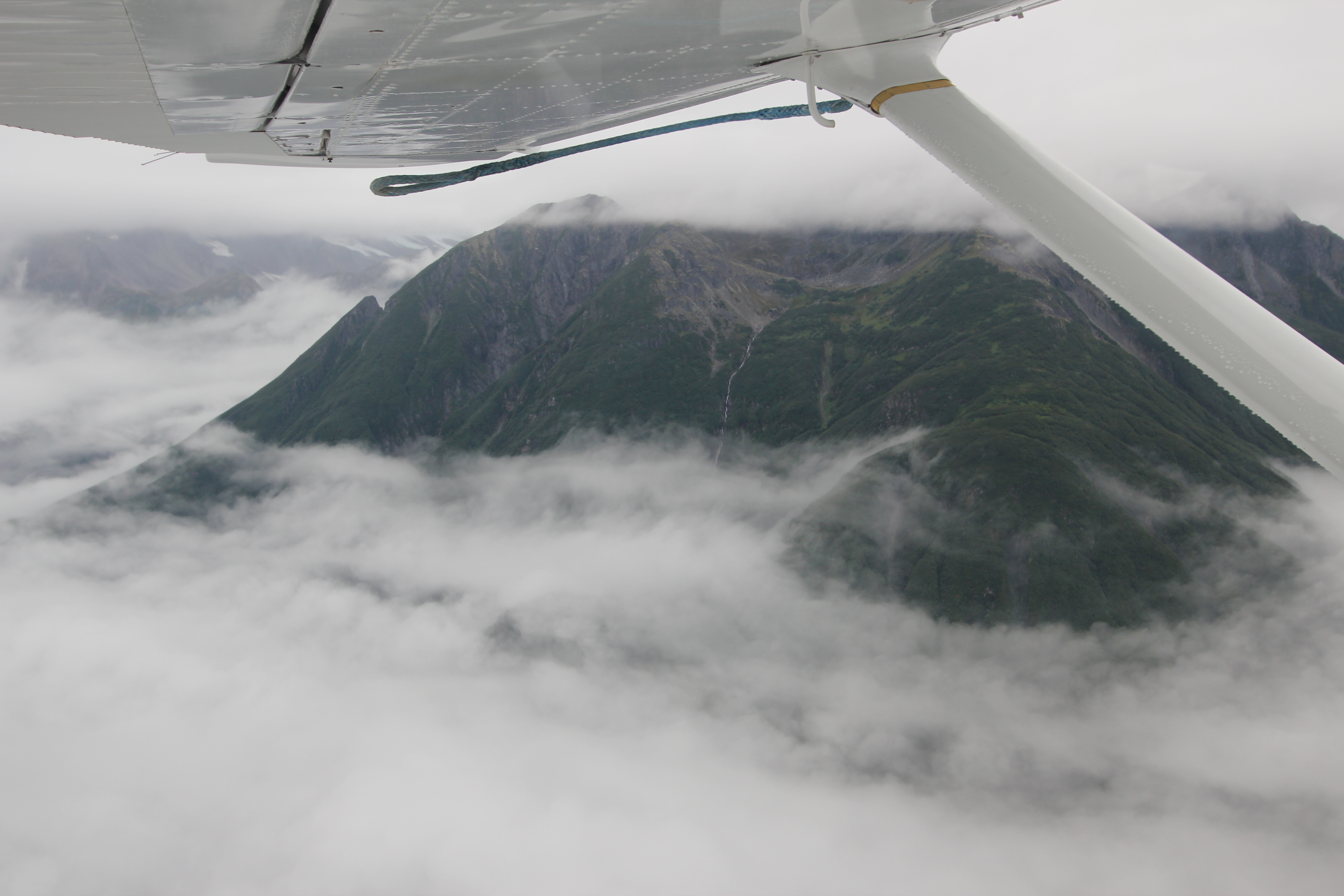
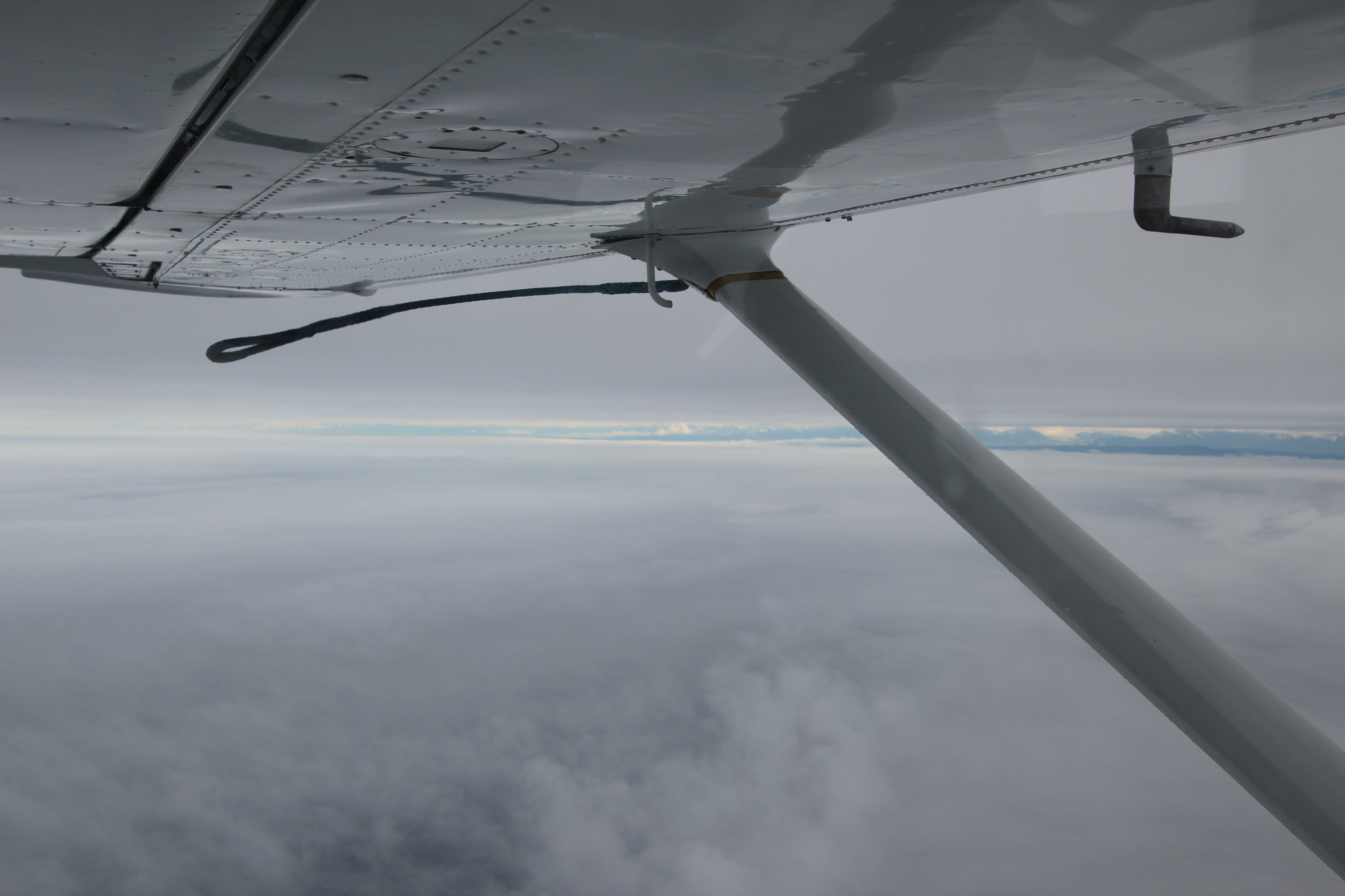
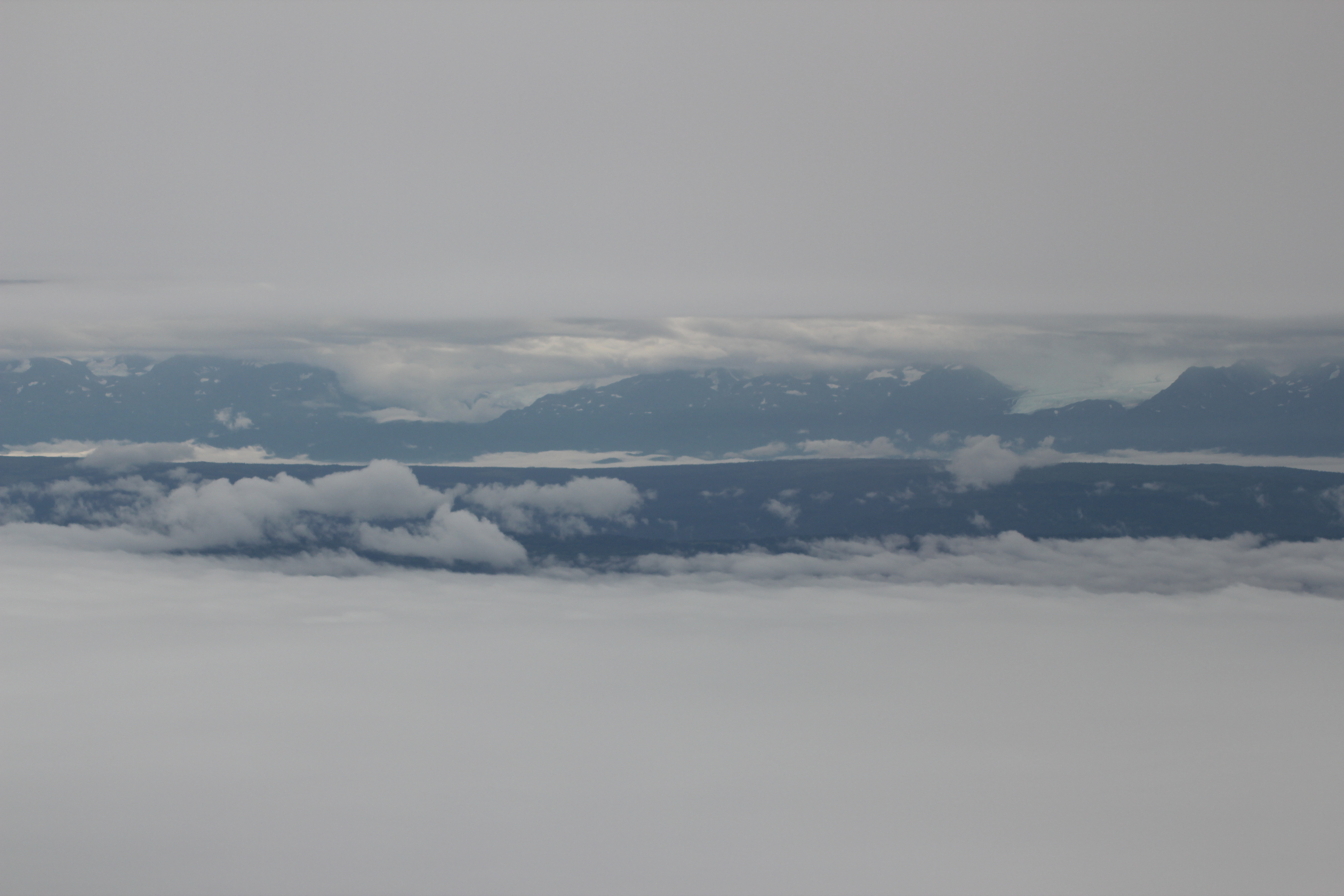
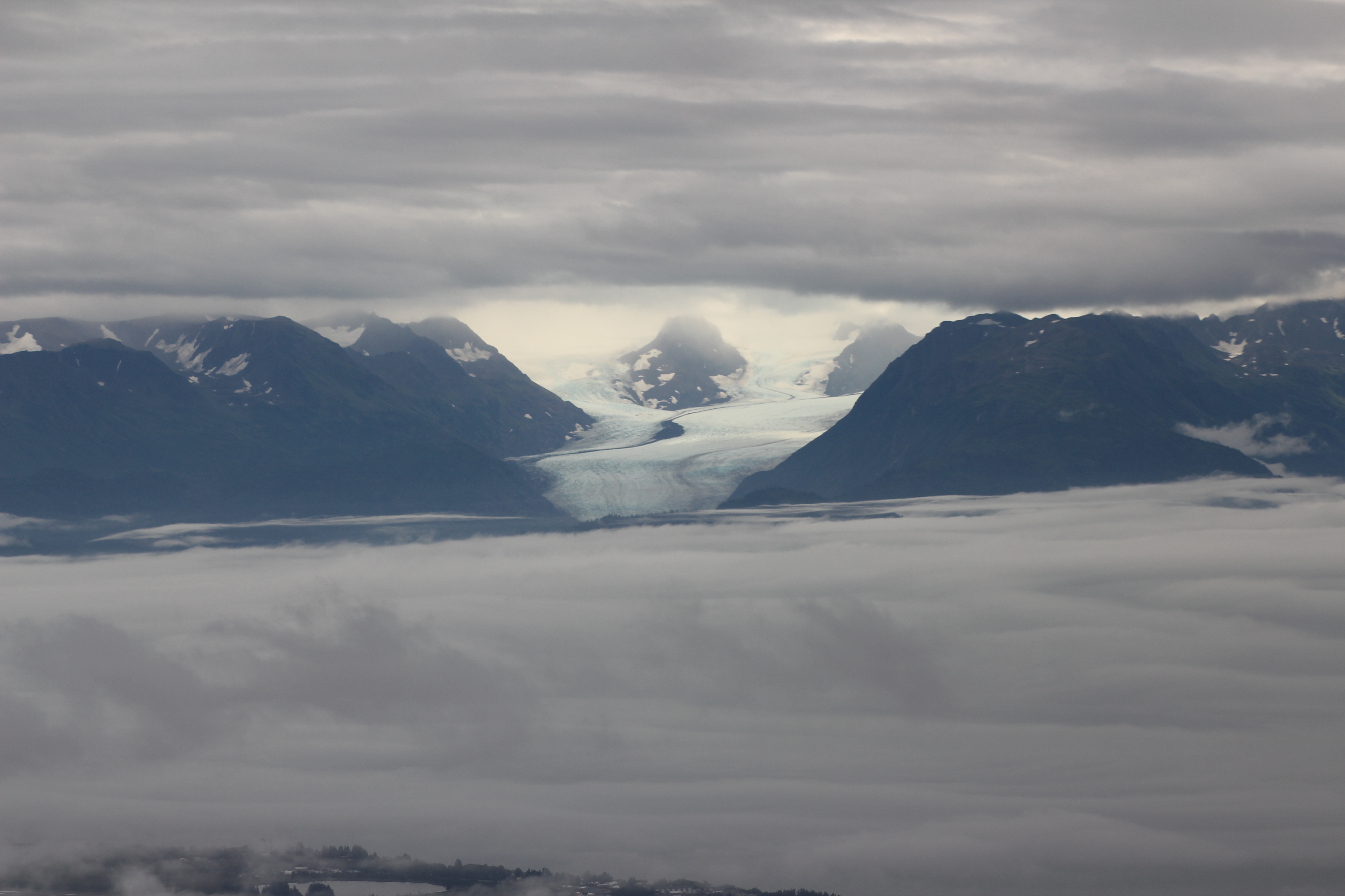
Taking off smoothly in Ellison Air’s distinctive Cessna U206G Stationair we quickly travelled across Cook Inlet to Mat-Su.

Leaving Anchorage and its Chugach Mountains backdrop, heading across Cook Inlet.

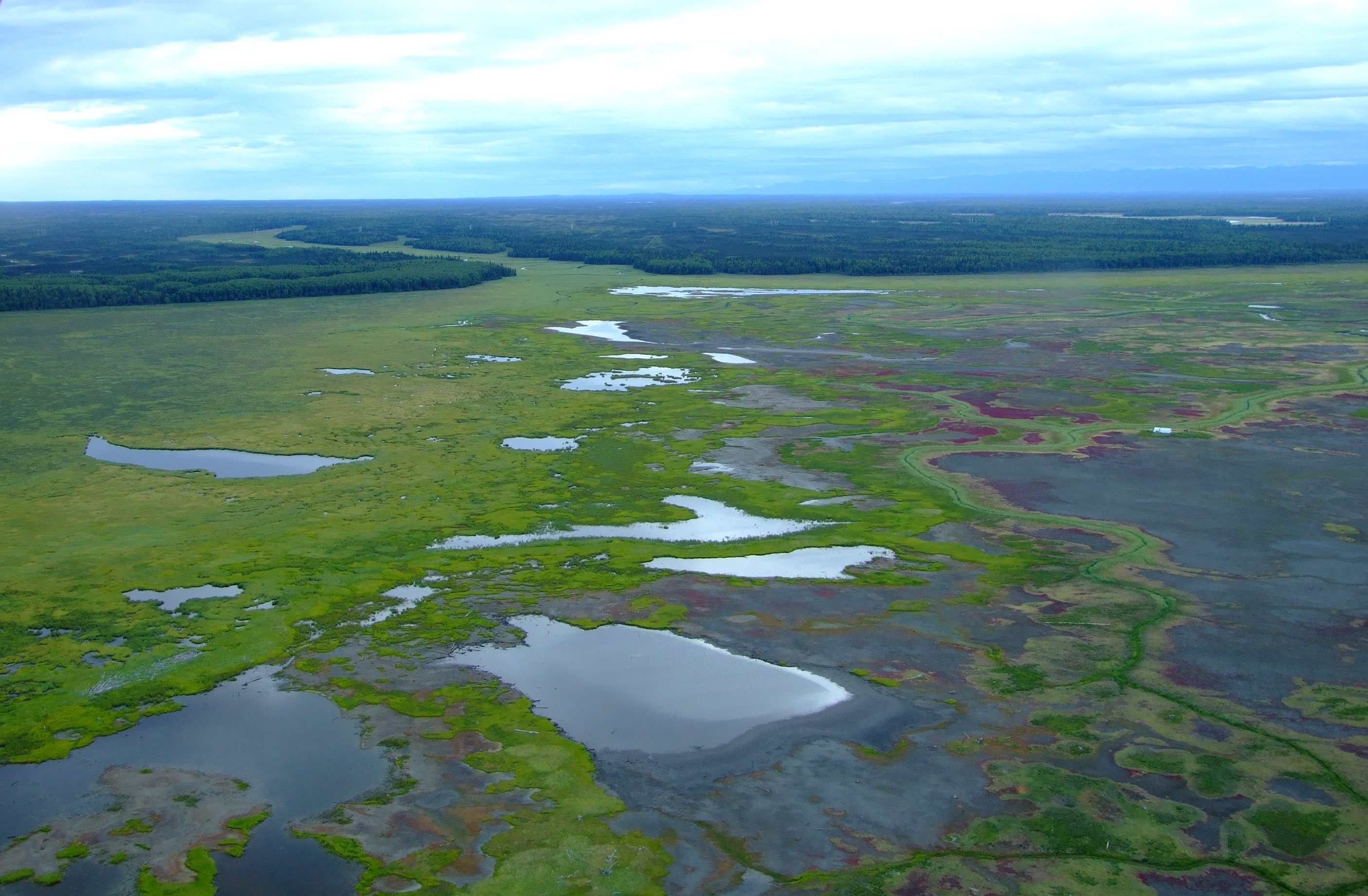
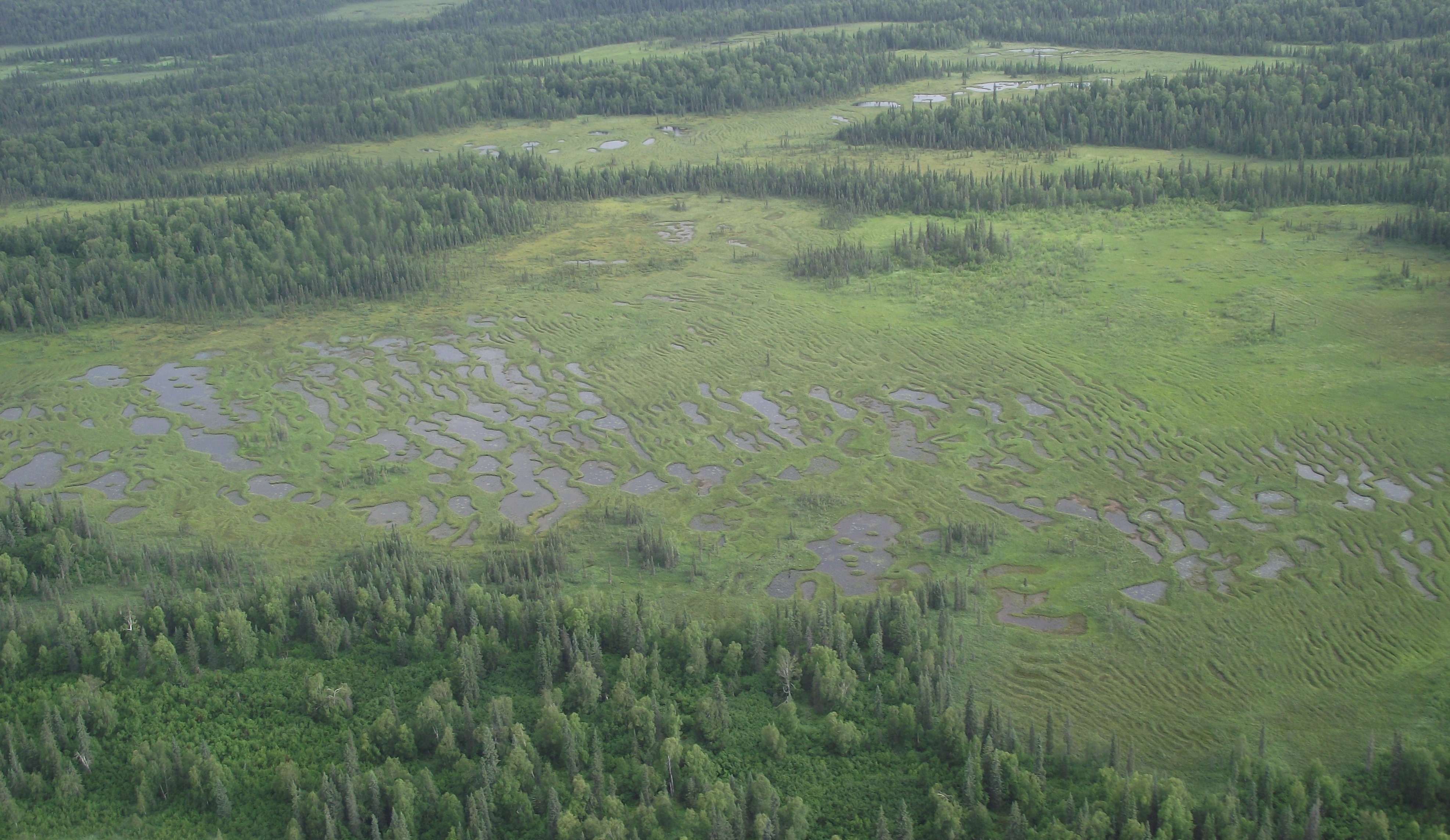
After briefly following a course parallel to the power transmission lines that stretch from the Beluga River Power Plant to supply Anchorage with nearly half of its electricity, we turned towards the lower reaches of the Susitna Flats, spotting our first bull Moose (Alces alces) of the day by the forested banks of one if the myriad of creeks and small rivers flowing down to the sea.

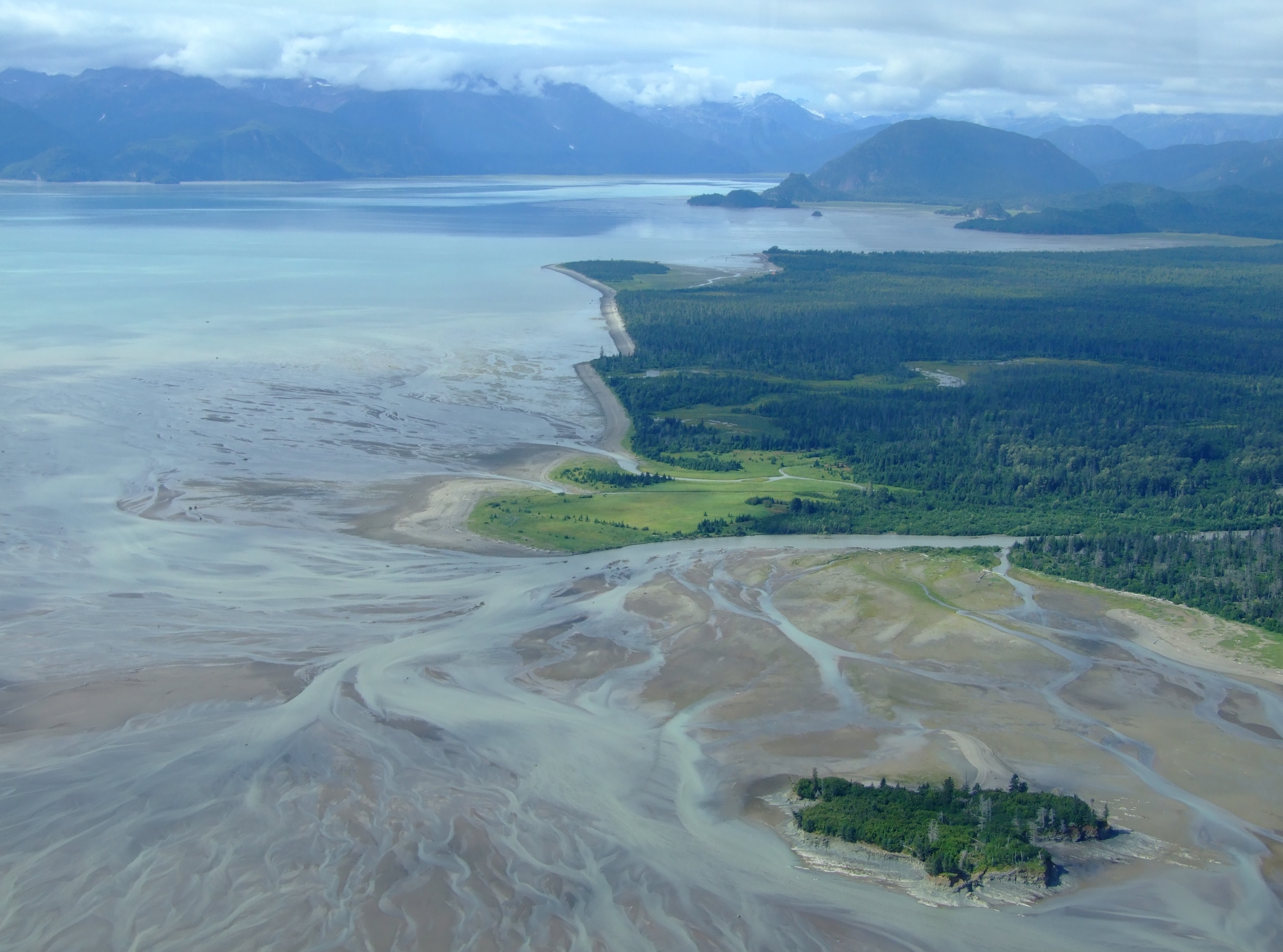
Looking inland from the tidal edge of the Susitna Flats while heading west.
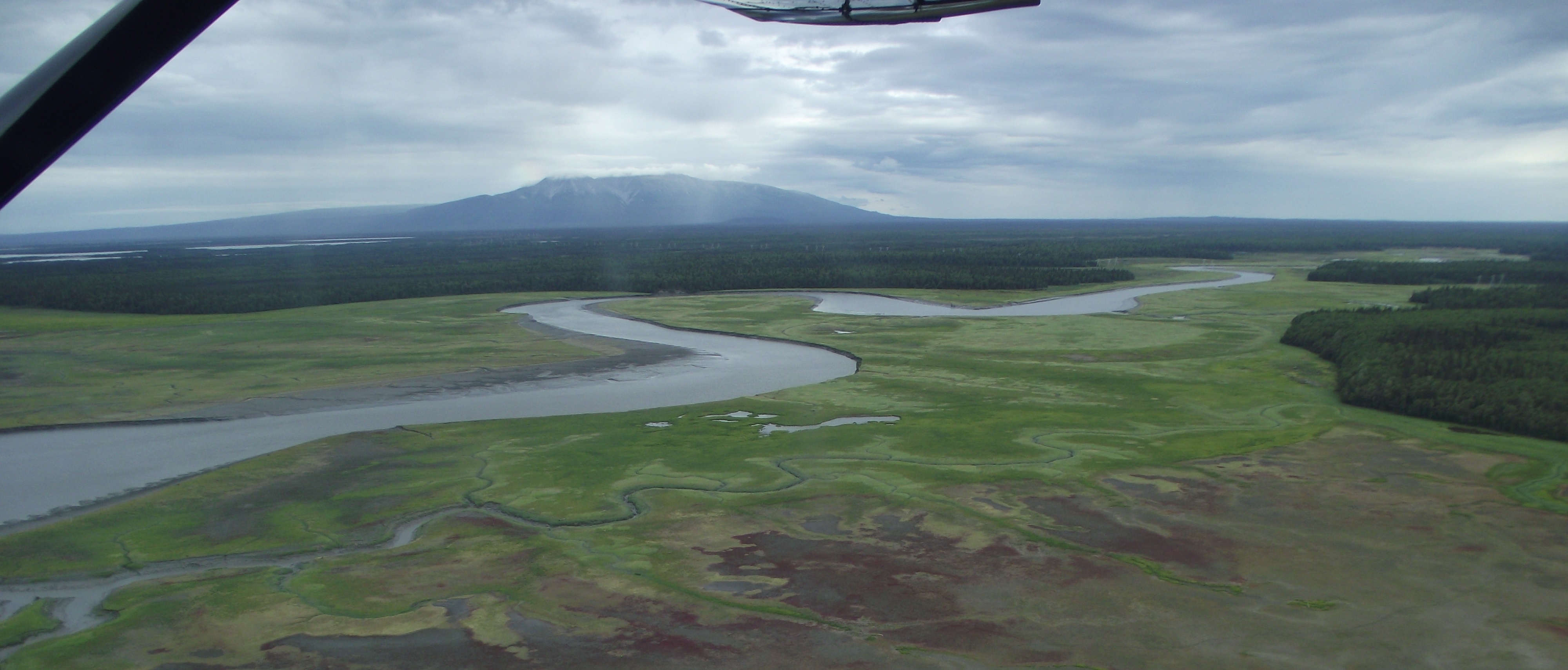
Mount Susitna (known as “The Sleeping Lady”) from the Susitna Flats near the Little Susitna River, where a few rays of sunshine tried to pierce the cloud cover.

The Susitna Flats State Game Refuge is a 300,800 acre (121,729 ha) refuge created 1976:

“Birds

Perhaps the most spectacular feature of the Susitna Flats State Game Refuge – and certainly the prime reason for its refuge status – is the spring and fall concentration of migrating waterfowl and shorebirds. Usually by mid-April, mallards, pintails, and Canada geese are present in large numbers. Peak densities are reached in early May when as many as 100,000 waterfowl are using the refuge to feed, rest, and conduct their final courtship prior to nesting. The refuge also hosts several thousand lesser sandhill cranes and upwards of 8,000 swans. Northern phalaropes, dowitchers, godwits, whimbrels, snipe, yellowlegs, sandpipers, plovers, and dunlin are among the most abundant of shorebirds. Most of the ducks, geese, and shorebirds move north or west to nest in other areas of the state. About 10,000 ducks -; mostly mallards, pintails, and green-winged teal, remain to nest in the coastal fringe of marsh ponds and sedge meadows found in the refuge. Recently, Tule geese, a subspecies of the greater white-fronted goose, have been discovered to nest and stage on Susitna Flats. In the fall, migrant waterfowl and shorebirds once again arrive in growing numbers to rest and feed on sedge meadows, marshes, and intertidal mud flats.

Mammals

Back from the coast are brushy thickets where moose calve each spring. In the winter, moose from surrounding uplands return to the refuge to find food and relief from deep snow. Both brown and black bears use the refuge, feeding particularly on early spring vegetation near salt marshes and sedge meadows. Beaver, mink, otter, muskrat, coyote, and wolf can also be found. Trapping is a regular winter activity on the refuge.

[…]

Fish

The Susitna River and its tributaries support the second largest salmon-producing system within Cook Inlet. In the summer, set net fishing sites dot the shoreline of the refuge.”

[Source: ADF&G]

The area covered by the Susitna Flats State Game Refuge. [Source: ADG&F]
The area covered by the Susitna Flats State Game Refuge.
[Source: ADG&F]
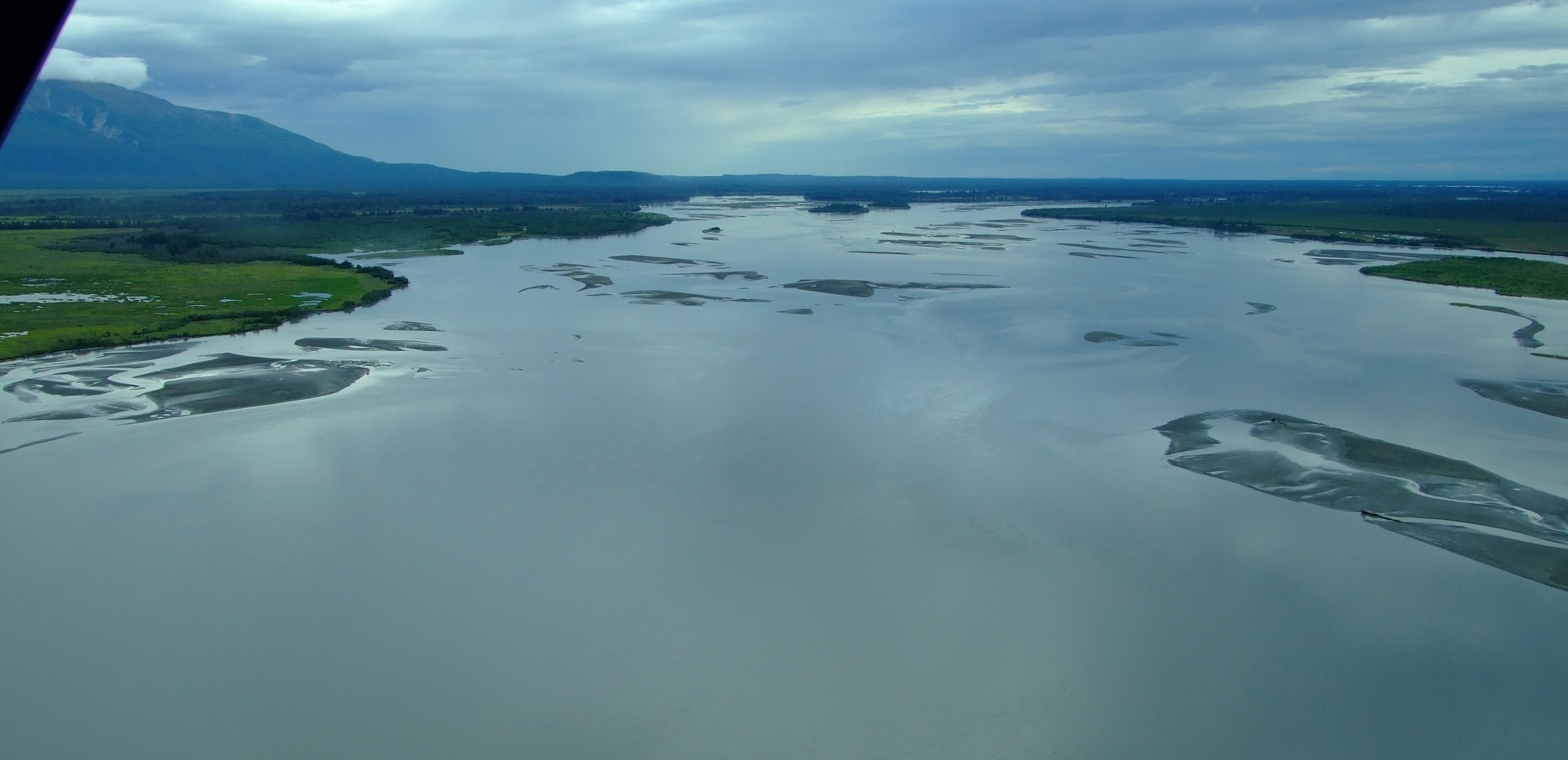
Looking upstream from the outflow of the mighty Susitna River as we continued flying west.
At the mouth of the Susitna River as it flows into Cook Inlet.

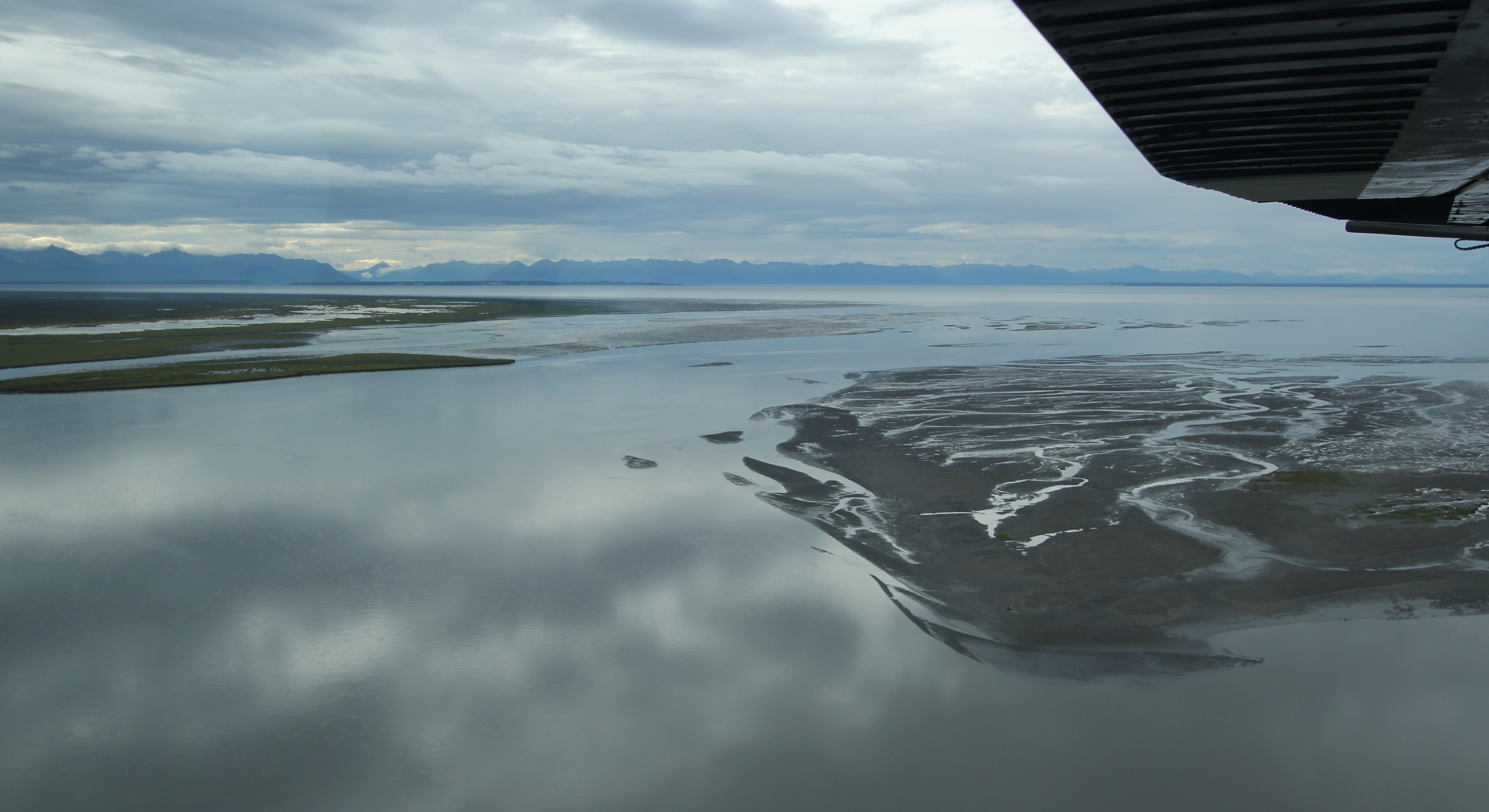
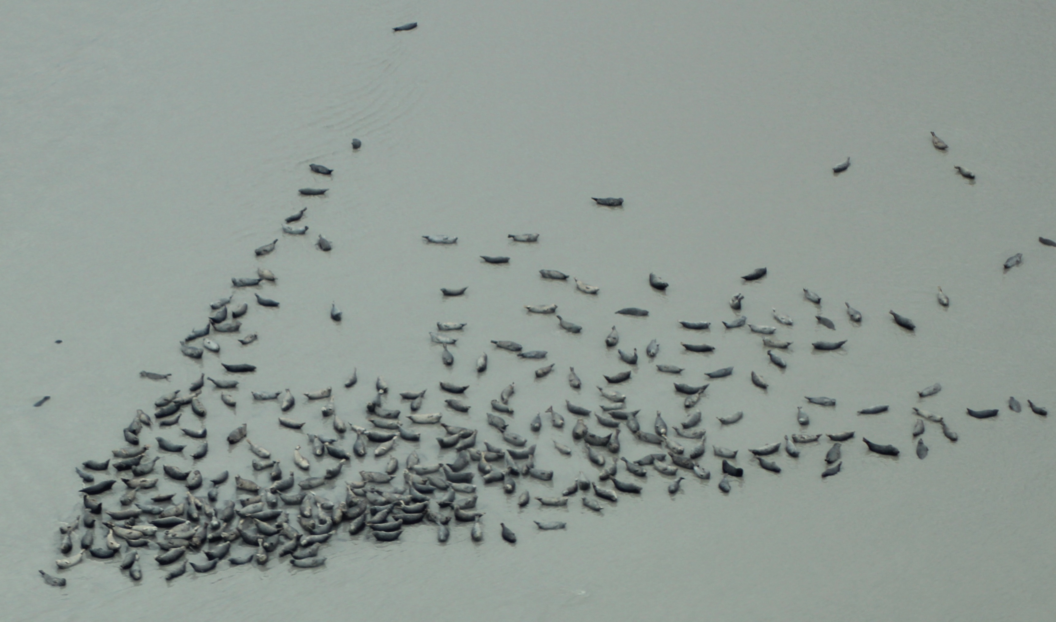
Along the shoreline mud bars we started to see increasing numbers of lounging seals, and were also lucky enough to spot the distinct white shapes of Beluga Whales (Delphinapterus leucas) in the grey waters close to shore, which is not a privilege we’d have had around Denali.  The resident population of Belugas in Cook Inlet means this is one area where viewing is common, particularly in summer and fall when they congregate between the Little Susitna and Susitna Rivers, before they move to deeper waters slightly further south around Kachemak and the Barren Islands during the winter.

One of the seal banks we saw along the coast of Cook Inlet at Susitna Flats.

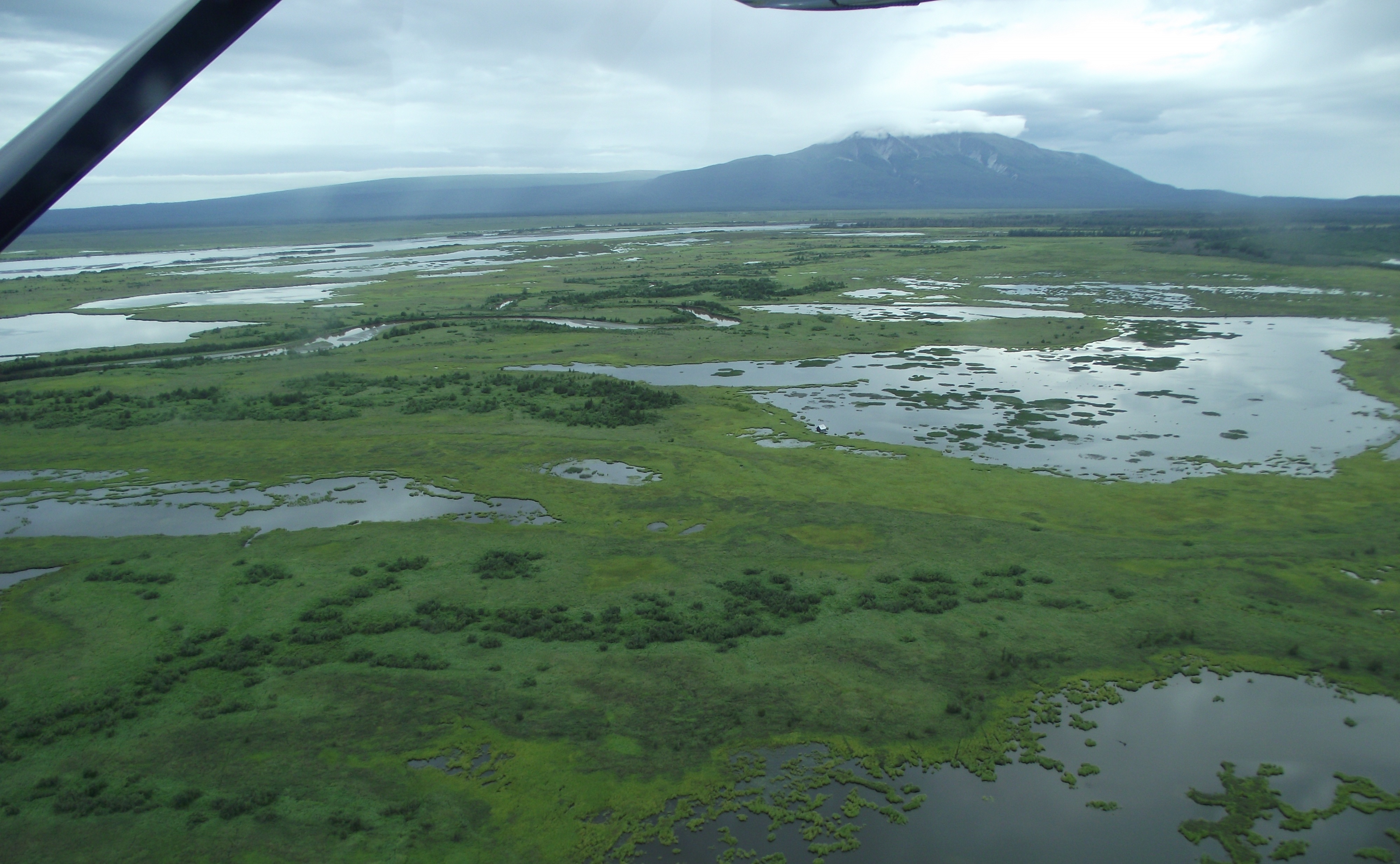
Aside from all the wildlife, this area is not always devoid of inhabitants.  At the edge of the lake near the center of the image below, a small cabin can just be seen, and, as marked on the earlier map, it’s not the only one in the refuge.  This area is prolifically fished and hunted:

“An impressive 40,000 user-days of sport fishing effort are expended on the Little Susitna River each year, reached over land on a rough 4-wheel drive trail. Some hardy fishermen head for the Little Susitna by boat from the mouth of Ship Creek.

The Theodore and Lewis rivers are popular fly-in fishing streams for king salmon from late May through June. Combined, these rivers annually provide approximately 7,000 user-days fishing effort and a harvest of 1,000 king salmon.”

[Source: ADF&G].

“Each year approximately 10 percent of the waterfowl harvest in the state occurs on Susitna Flats, with about 15,000 ducks and over 500 geese taken.”

[Source: ADF&G].

The Susitna Flats SGR continues west of the Susitna River. The sun once again briefly appeared to illuminate the shrouded top of Mt. Susitna.

After a few miles more of the spectacular coastal wetlands we turned inland to the northwest and re-crossed the transmission power lines as we headed to the Beluga River and Lake for our scheduled landing.

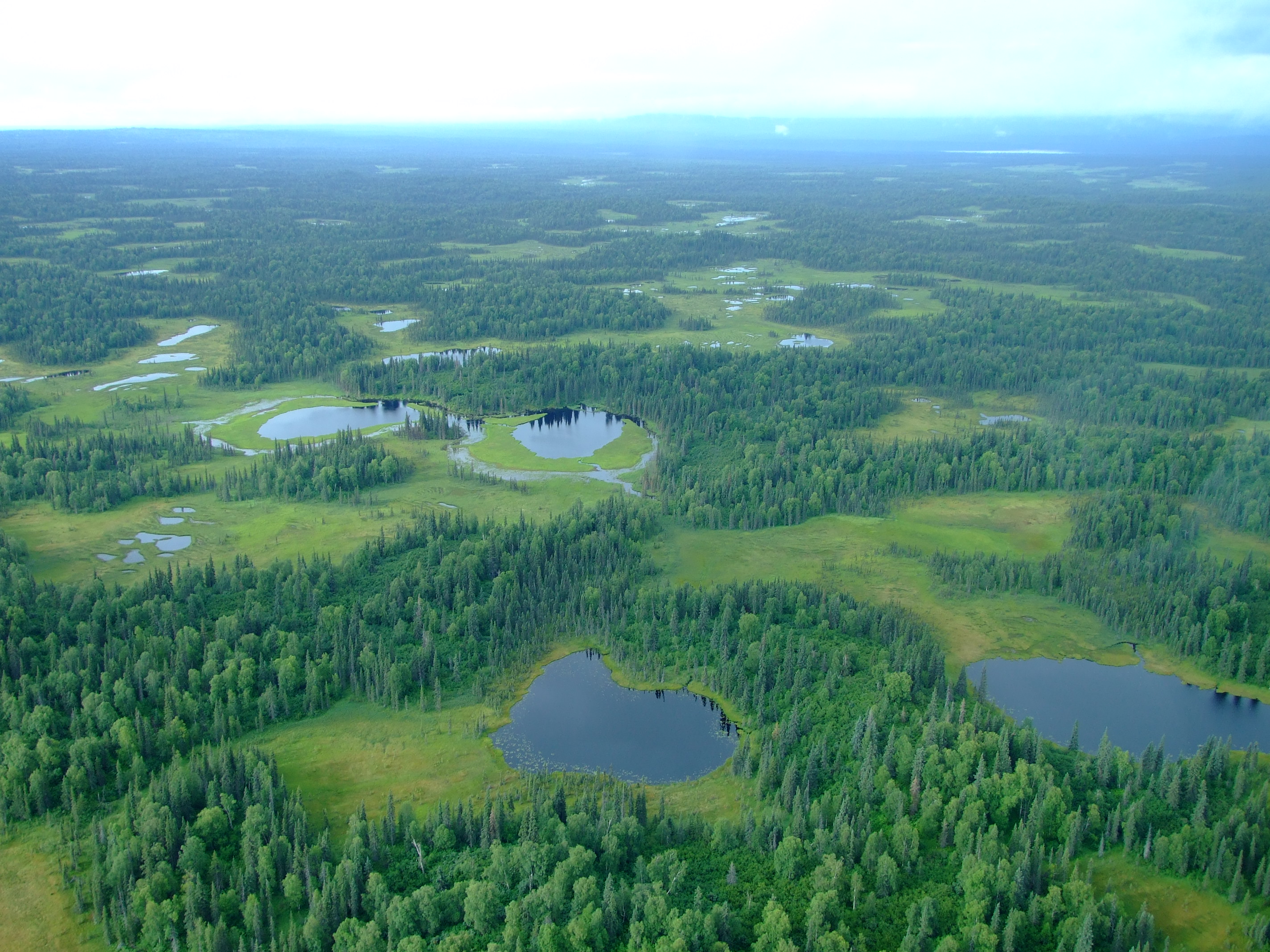
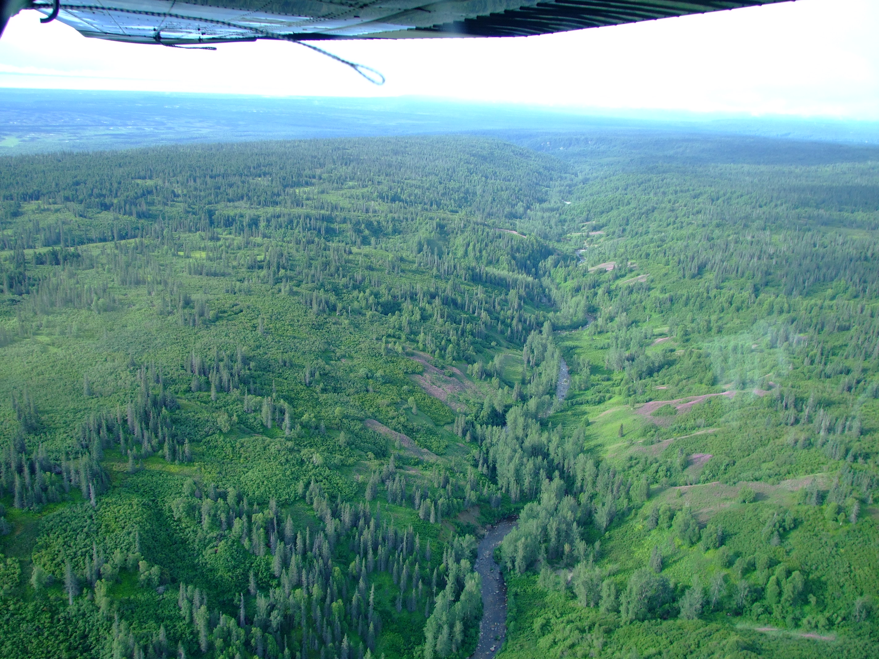
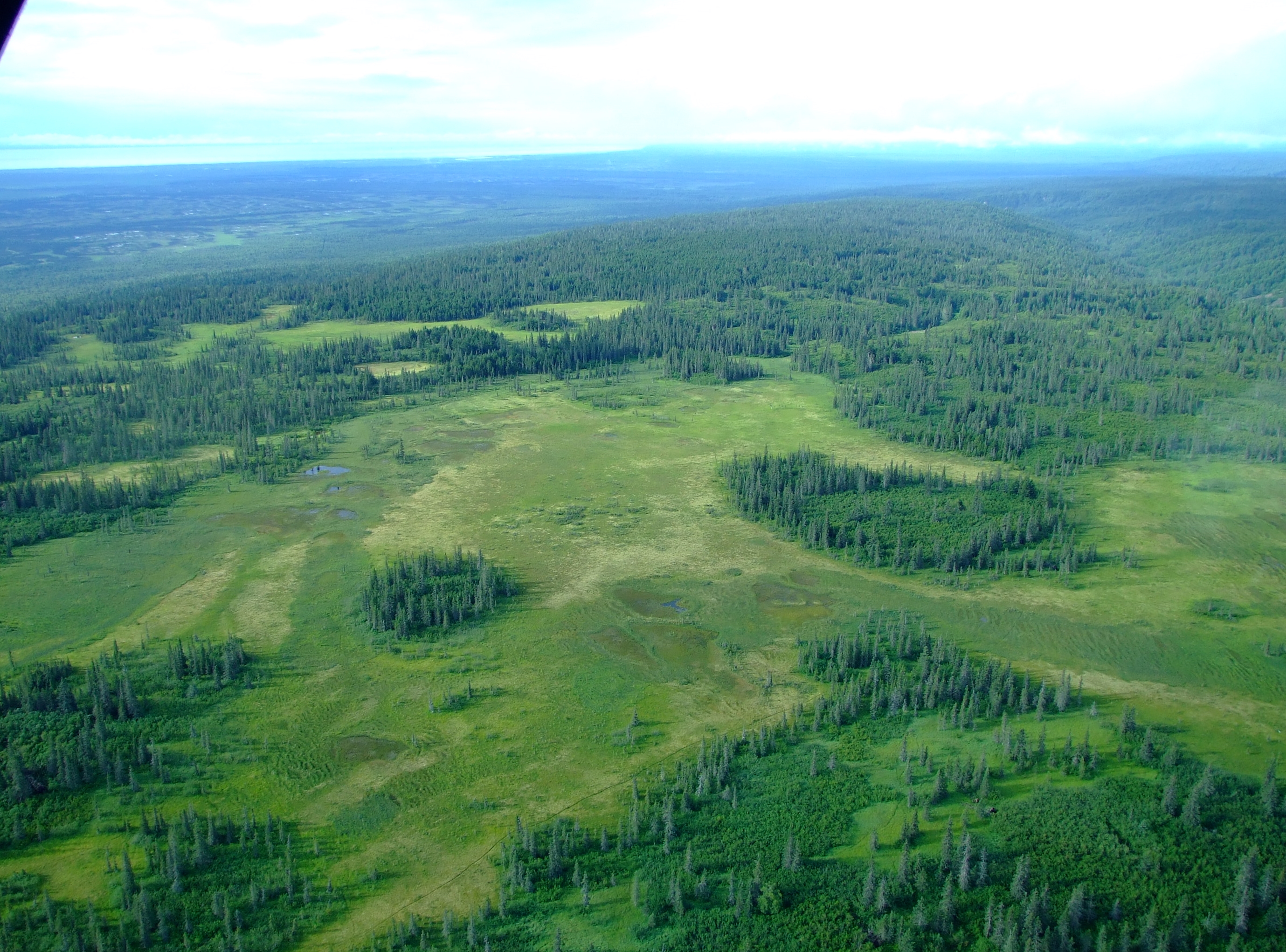
The landscape beneath us remained consistently diverse and just as riveting.

Fixed-wing aircraft are ideal for flightseeing across the refuge as they are permitted to travel as low as 500 ft (152m) above ground level during protected wildlife breeding seasons (it’s 1500 ft (457m) for helicopters) which provides some great views of the landscape.

In the open spaces of creek gravel bars we spotted more moose and a bear using the natural highways, but we soon reached our destination

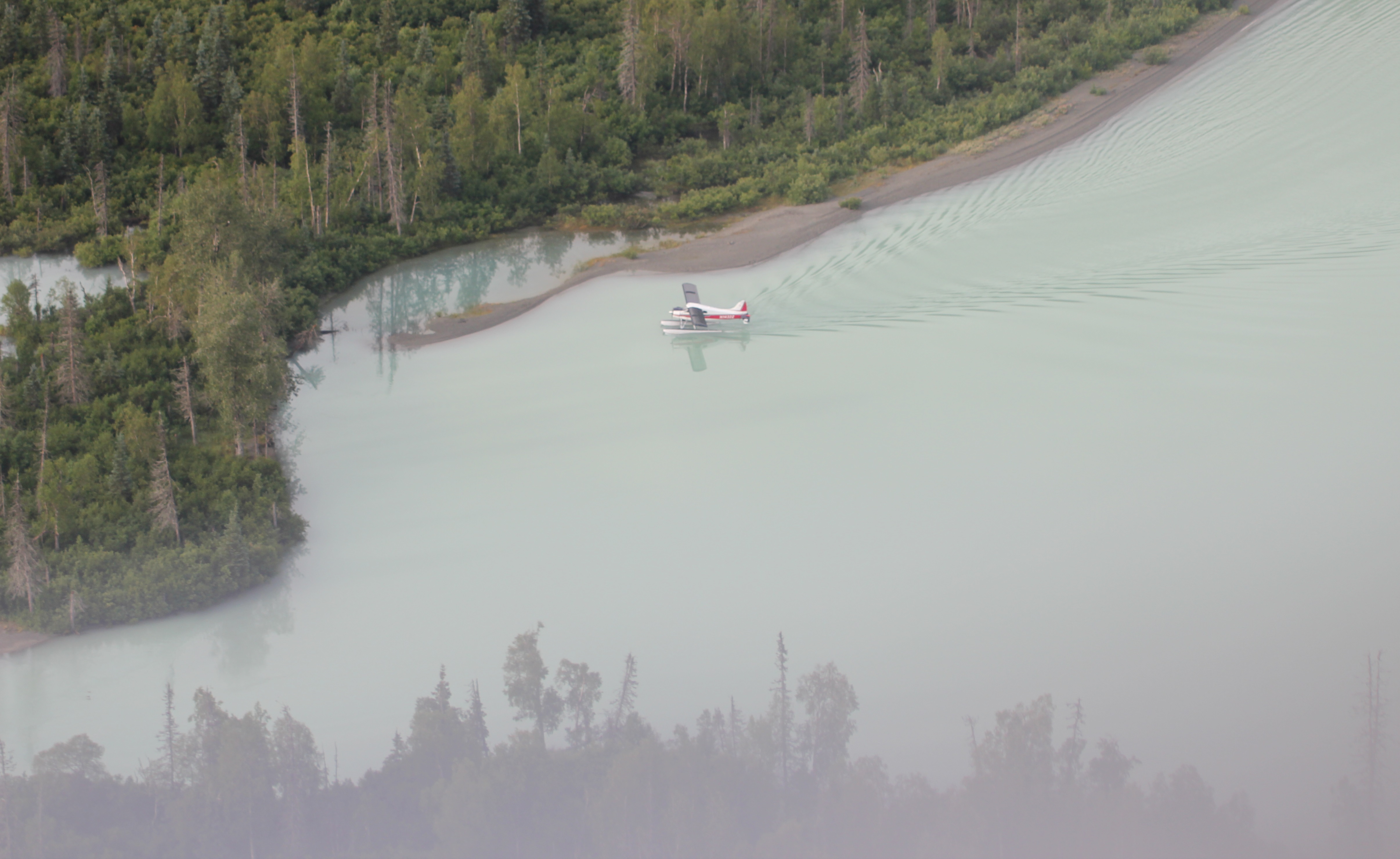
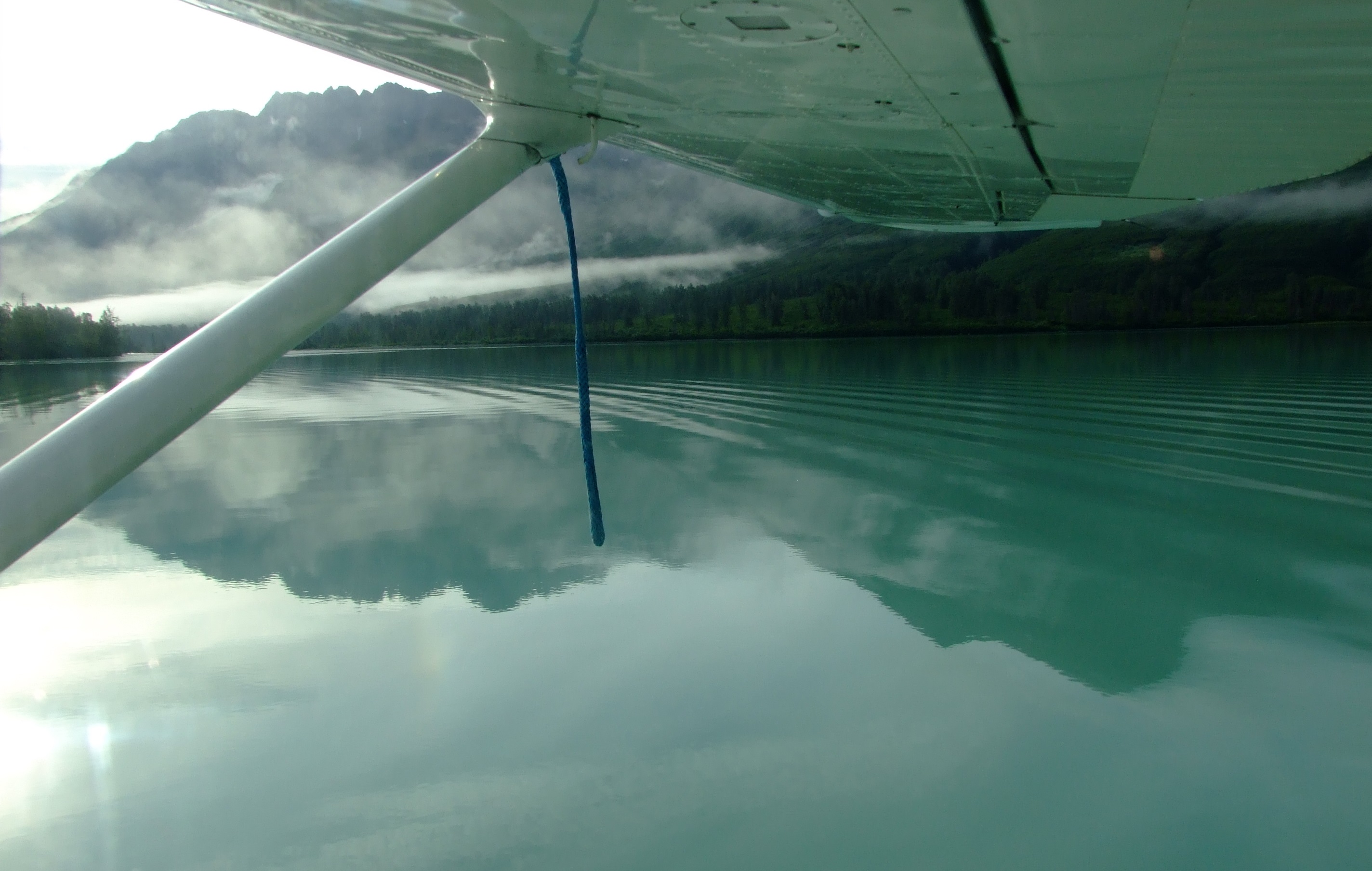
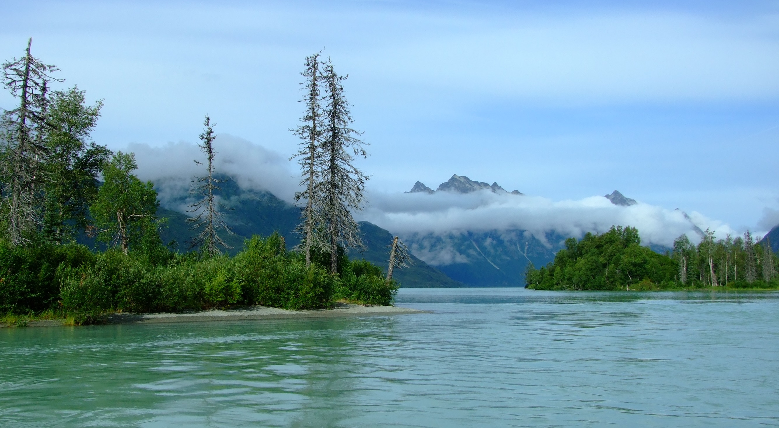
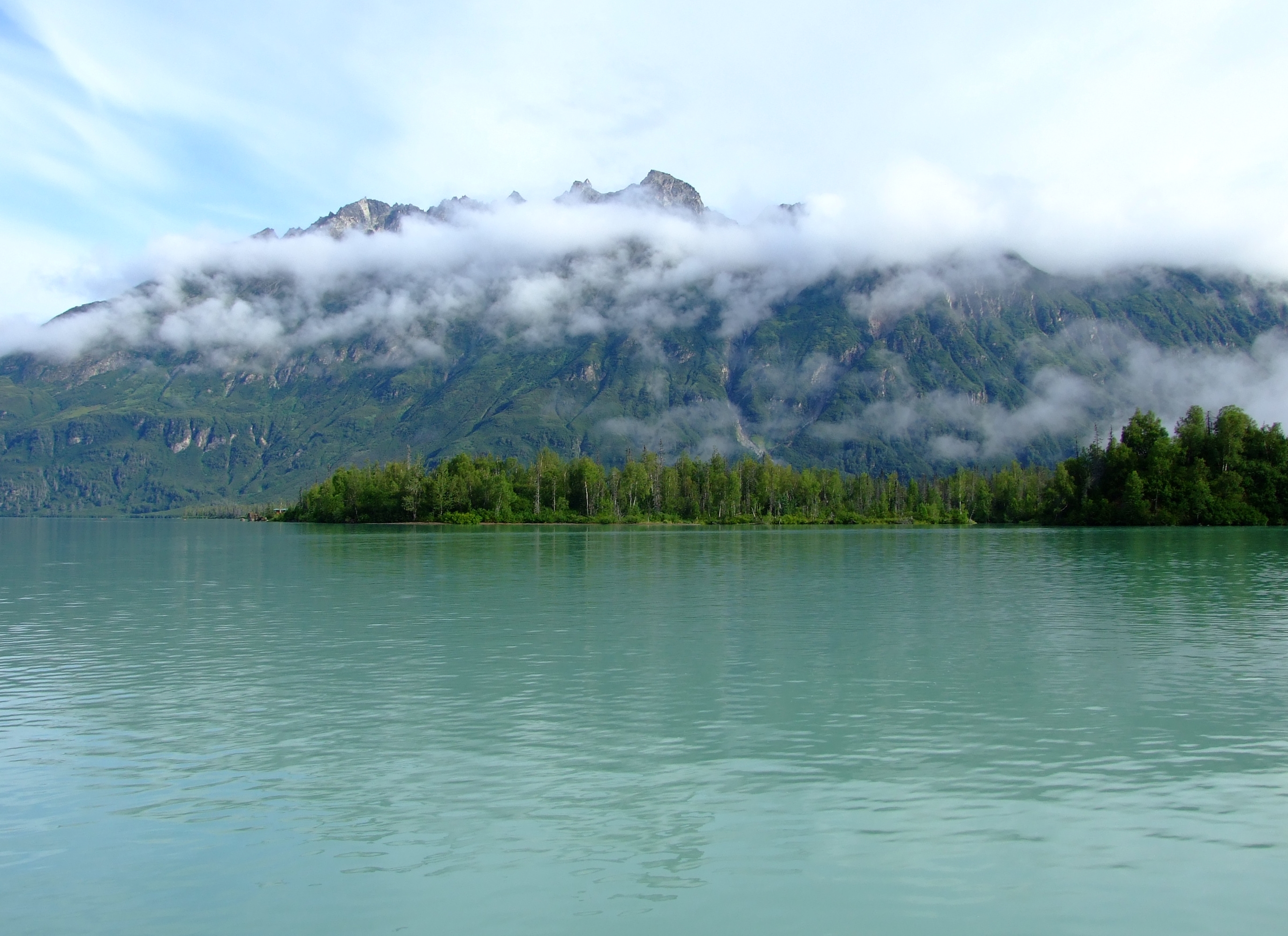
Beluga Lake lies 56 mi. (90km) WNW of Anchorage.  It is principally formed by the meltwaters of the Triumvirate Glacier which primarily flow along the northern and southern flanks of a 4.5 mi. (km) bar of land which separates the lake and the glacier’s frontal moraine at the west of the lake.  Beluga Lake is approximately 6 mi. (10km) long from east to west, and about 3 mi. (5km) wide.  The Beluga River starts at the eastern end of the lake with additional in-flow from the tributary Chichantna River (fed in turn by the Capps Glacier) in the south-eastern corner of Beluga Lake.  Coal Creek flows into Beluga Lake from the north just before the start of the river.  The relatively isolated location is reflected in the USGS topographical map which dates back to 1958, but it still provides a reasonably accurate impression as can be seen on the CalTopo website.

In a video posted the day before our flight, a landing on Beluga Lake by a 1958 De Havilland Canada Beaver DHC-2 MK.1 floatplane from Rust’s Flying Services shows what the area around the Triumvirate Glacier and a Beluga Lake landing look like in good weather.

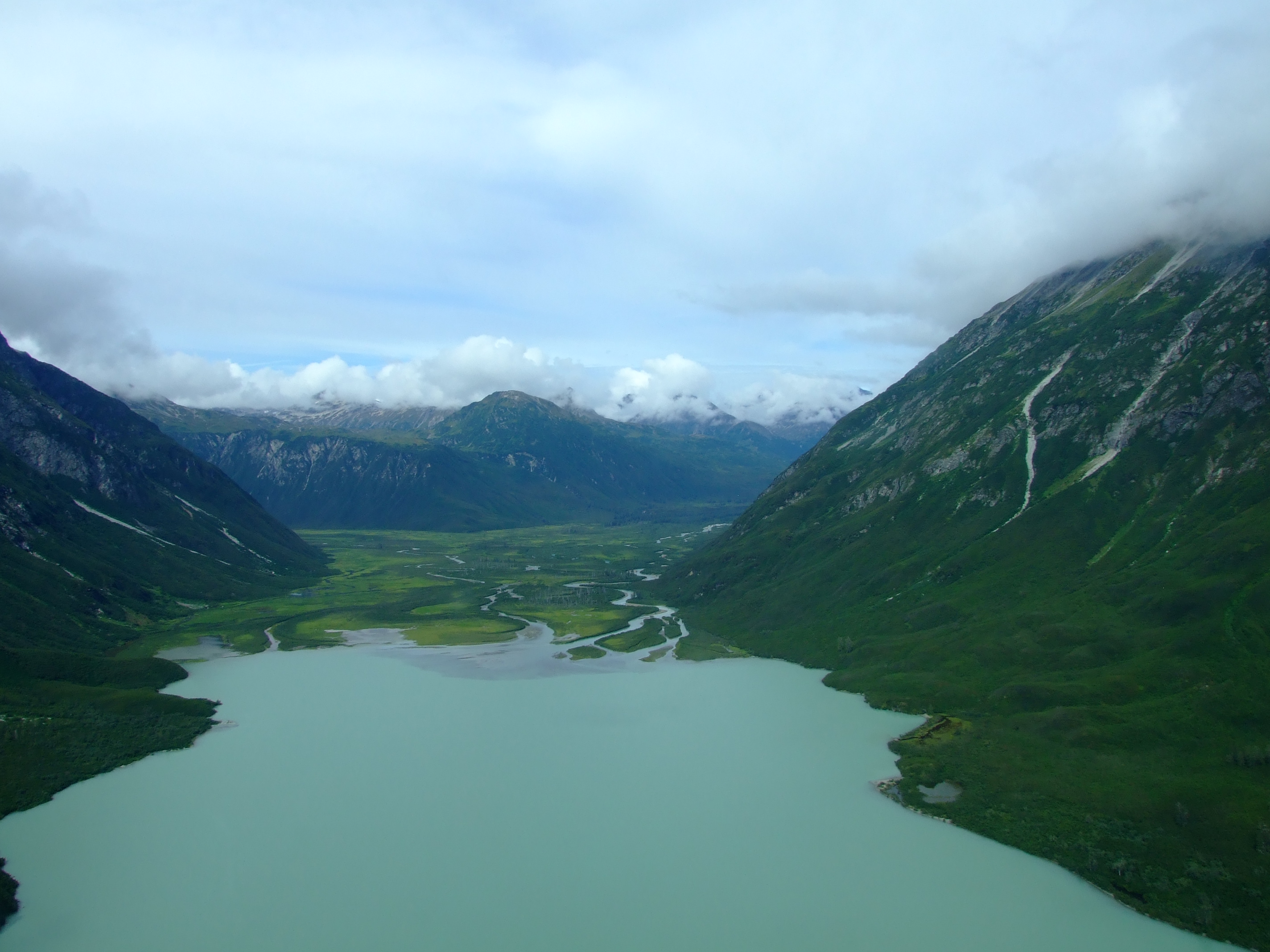
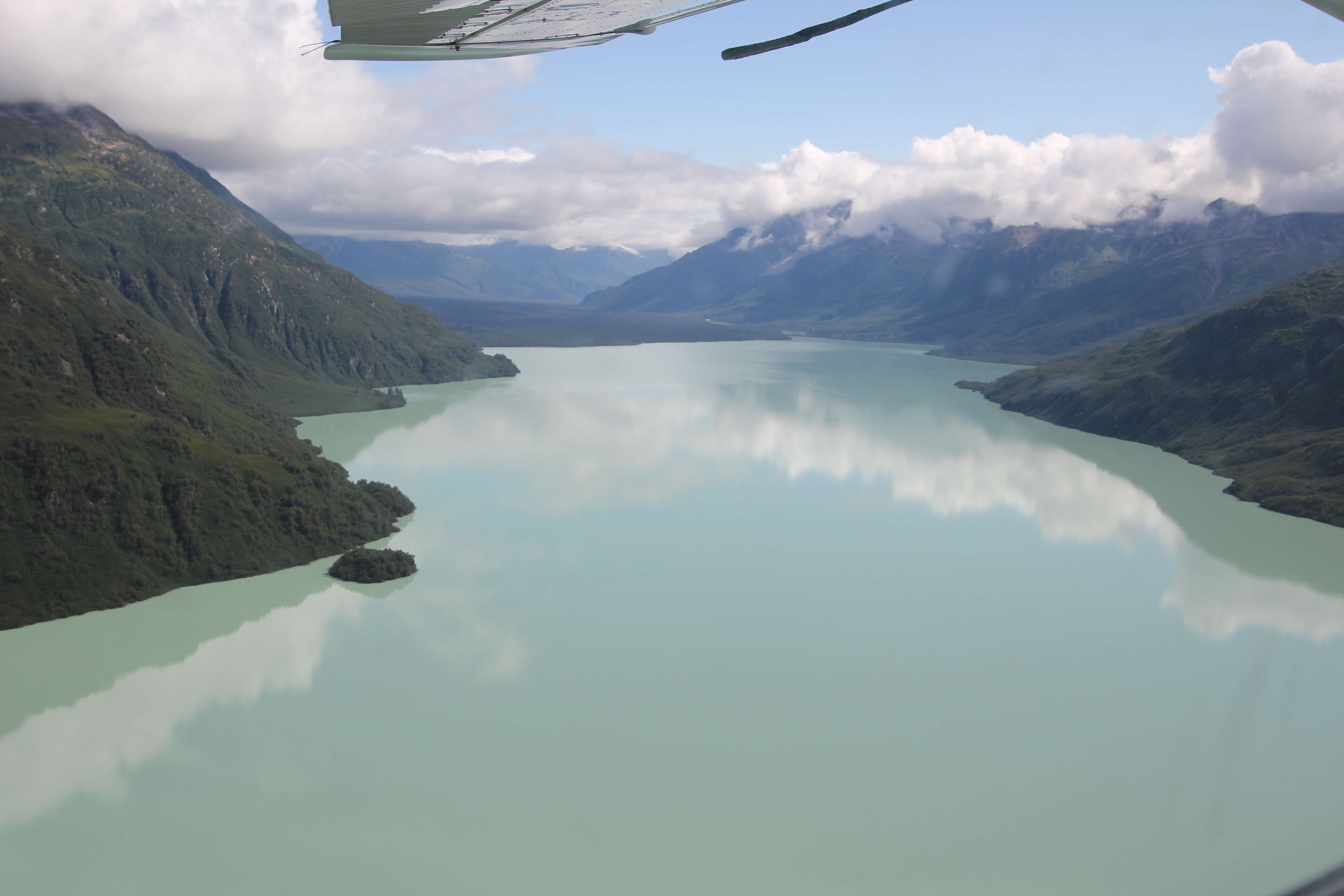
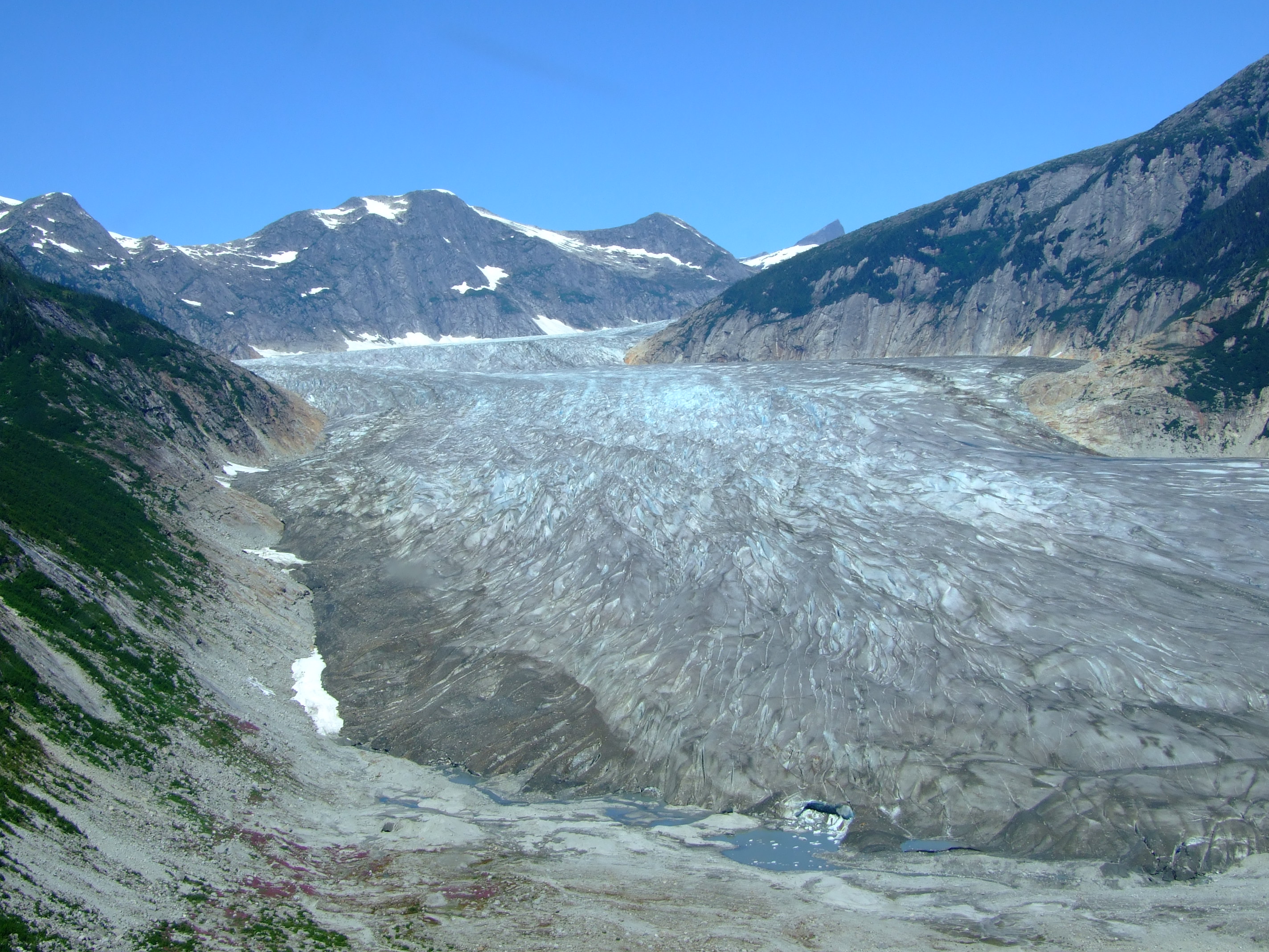
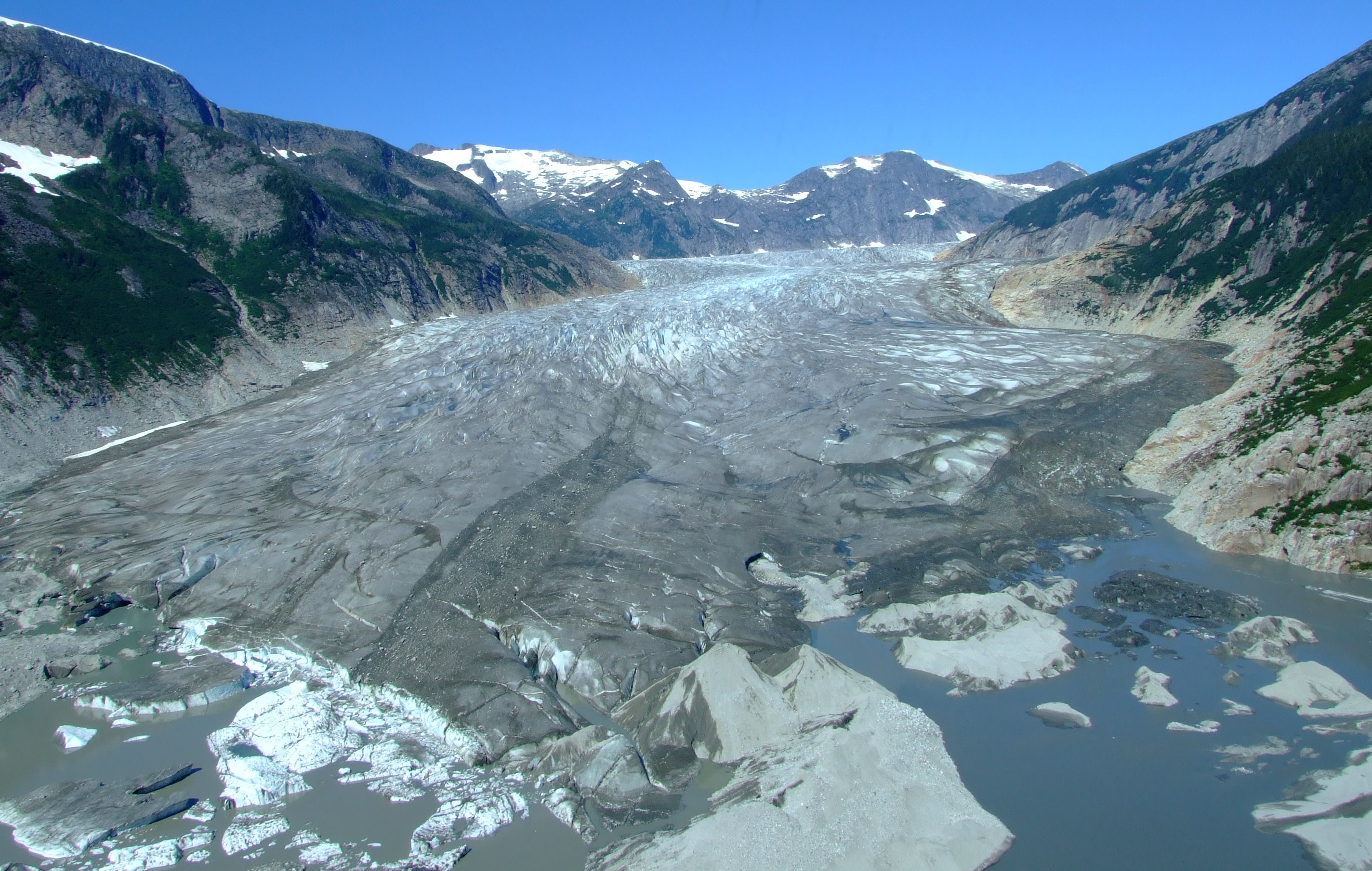
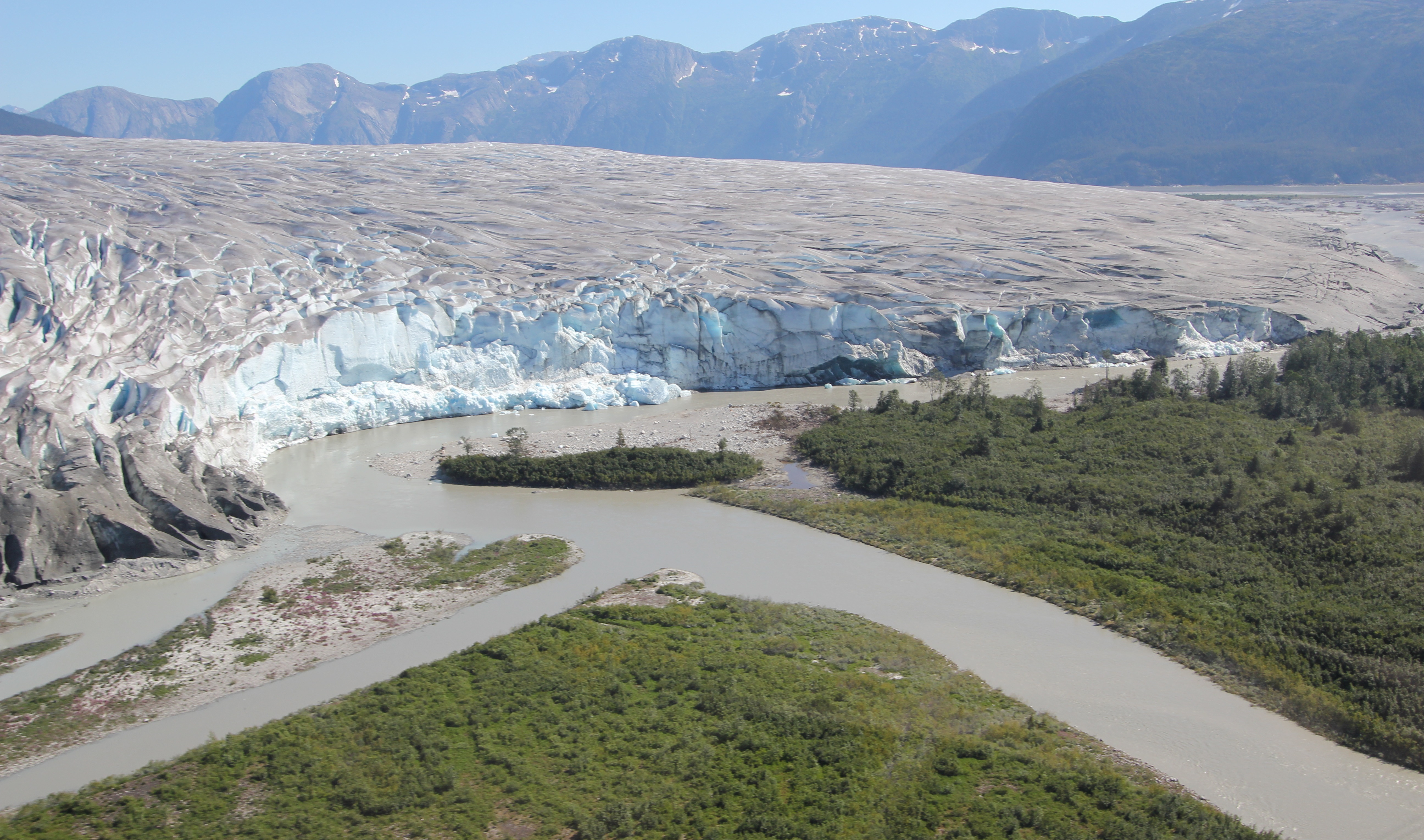
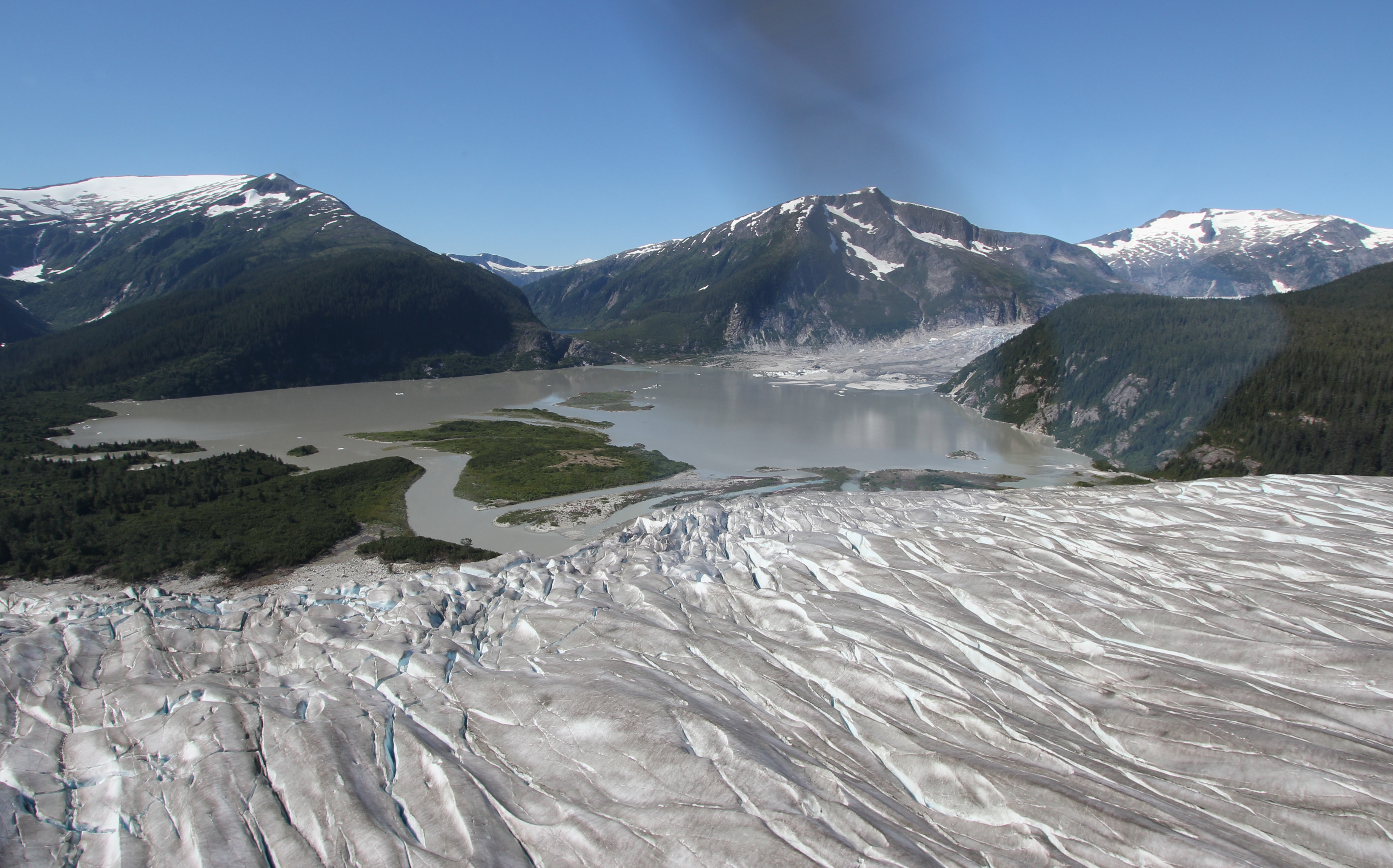
As we reached Beluga Lake it became apparent that something strange had recently happened to the landscape below us.

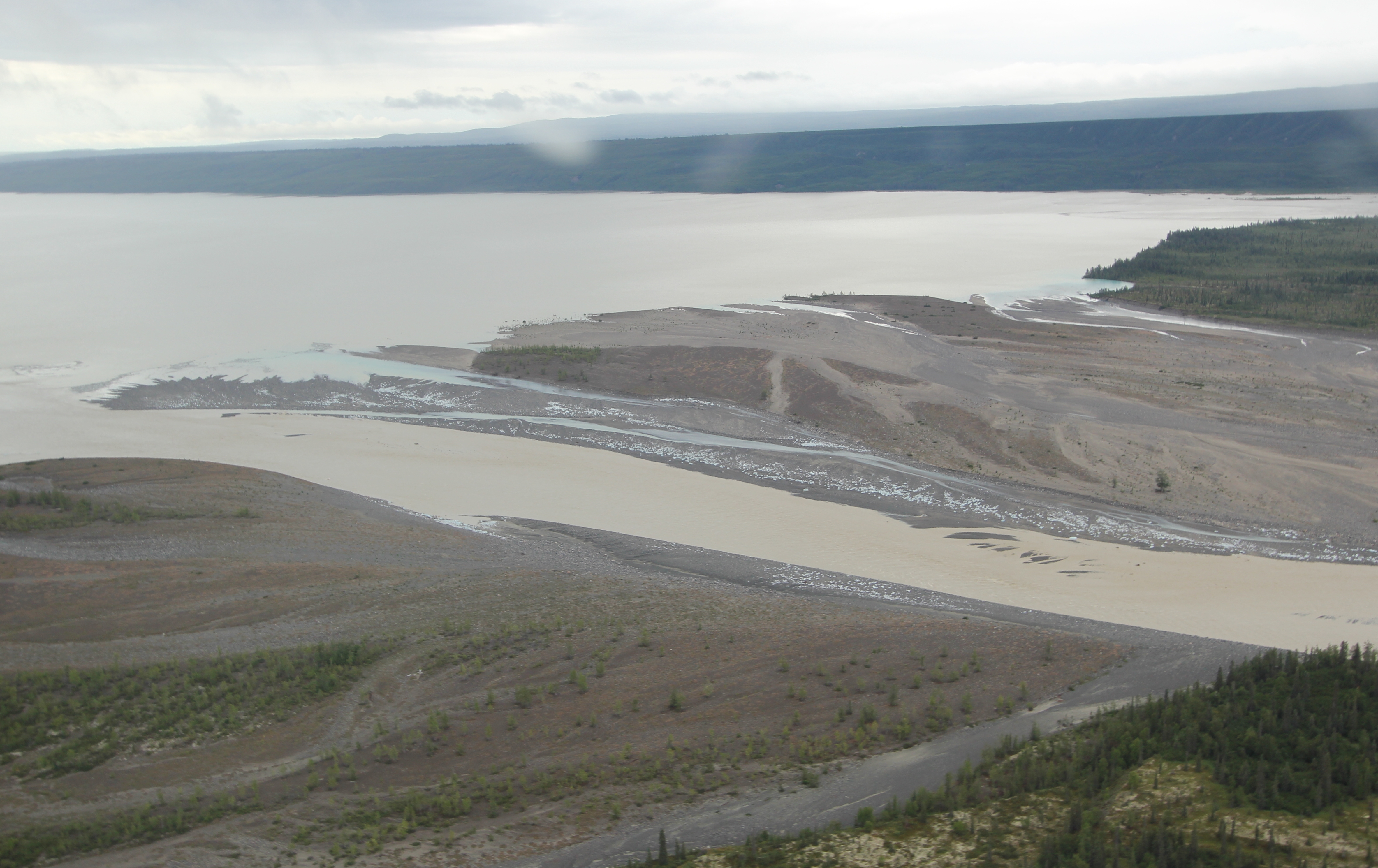
Heading west, looking south. Beluga Lake with the start of the Beluga Rover to the left, with the Chichantna River flowing left to right in the background.]
Heading west, looking south. Beluga Lake with the start of the Beluga Rover to the left, with the Chichantna River flowing left to right in the background.
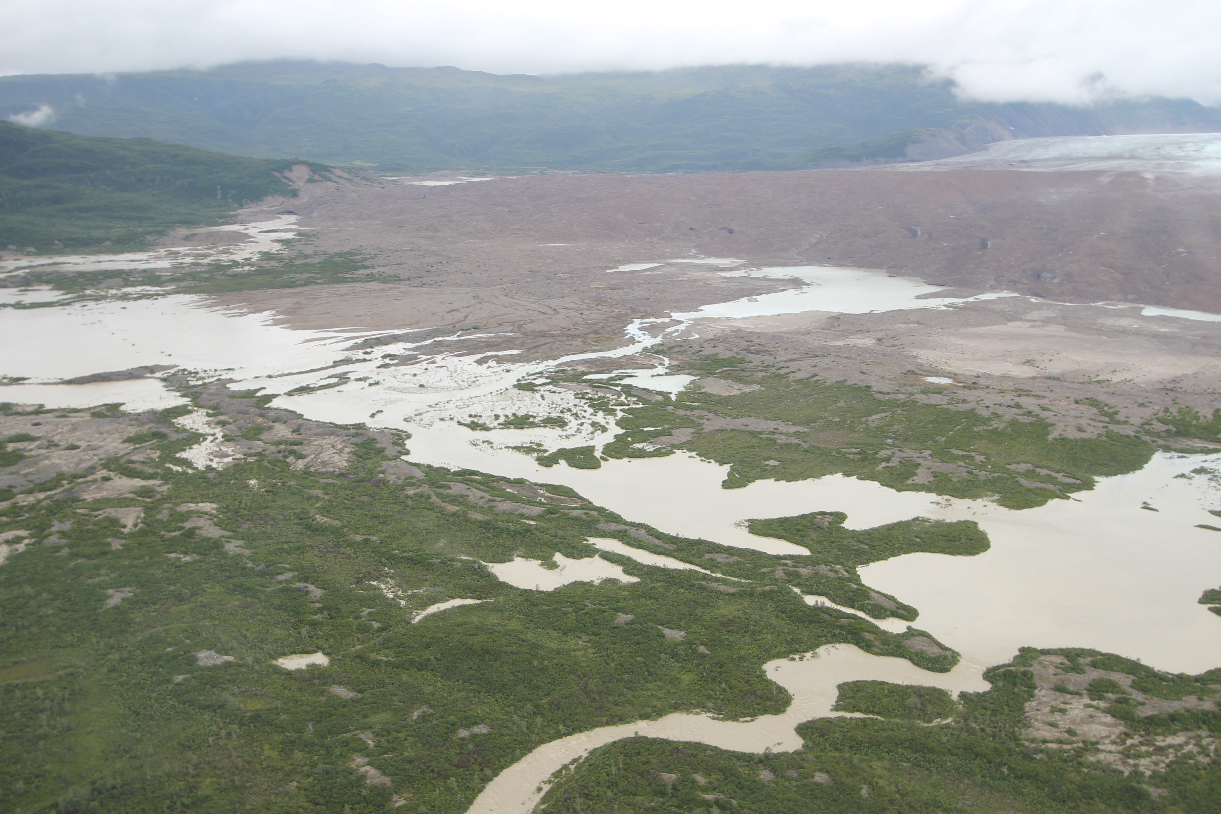
The flooded shoreline where Coal Creek enters Beluga Lake.]
The flooded shoreline where Coal Creek enters Beluga Lake.
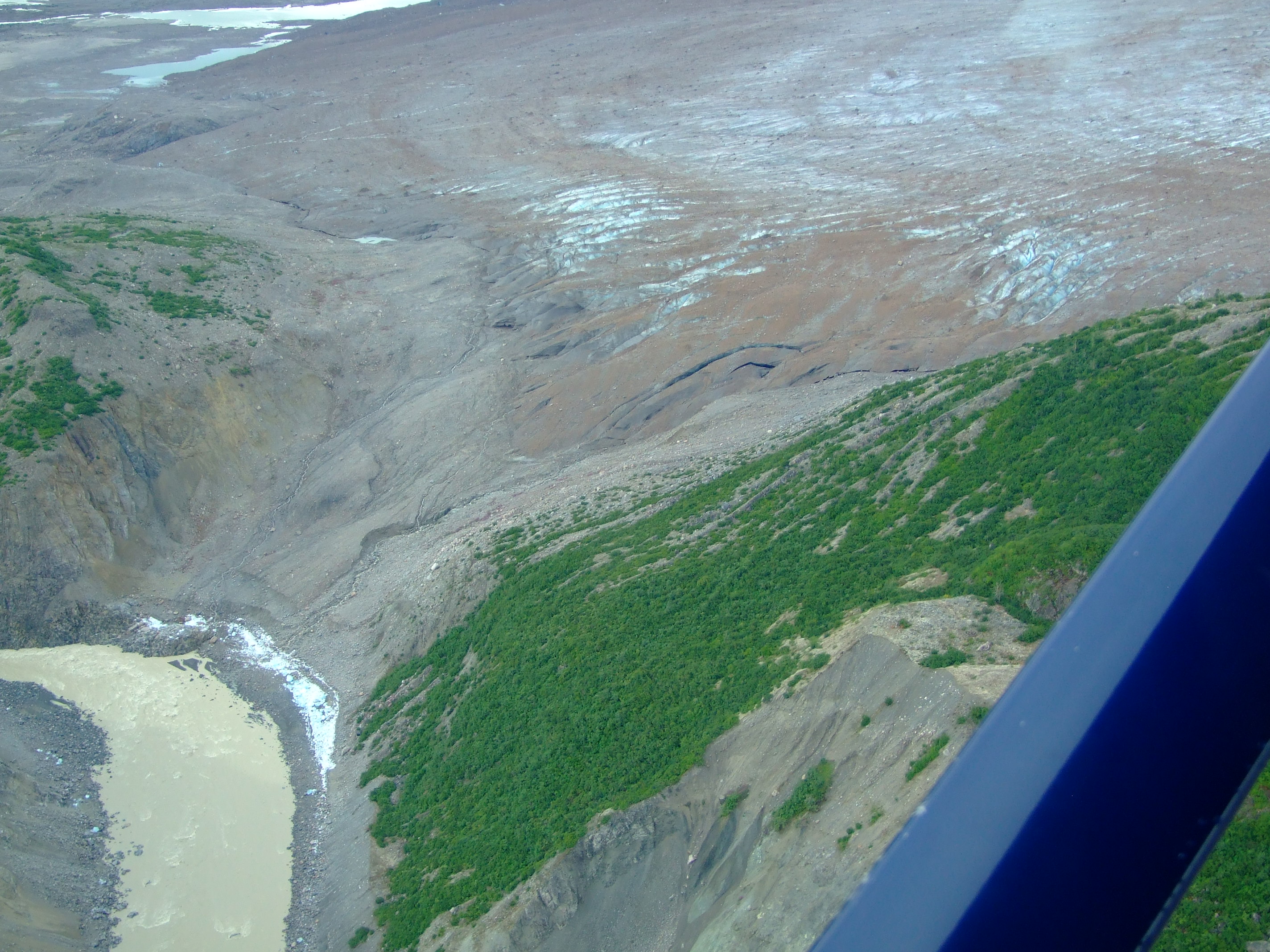
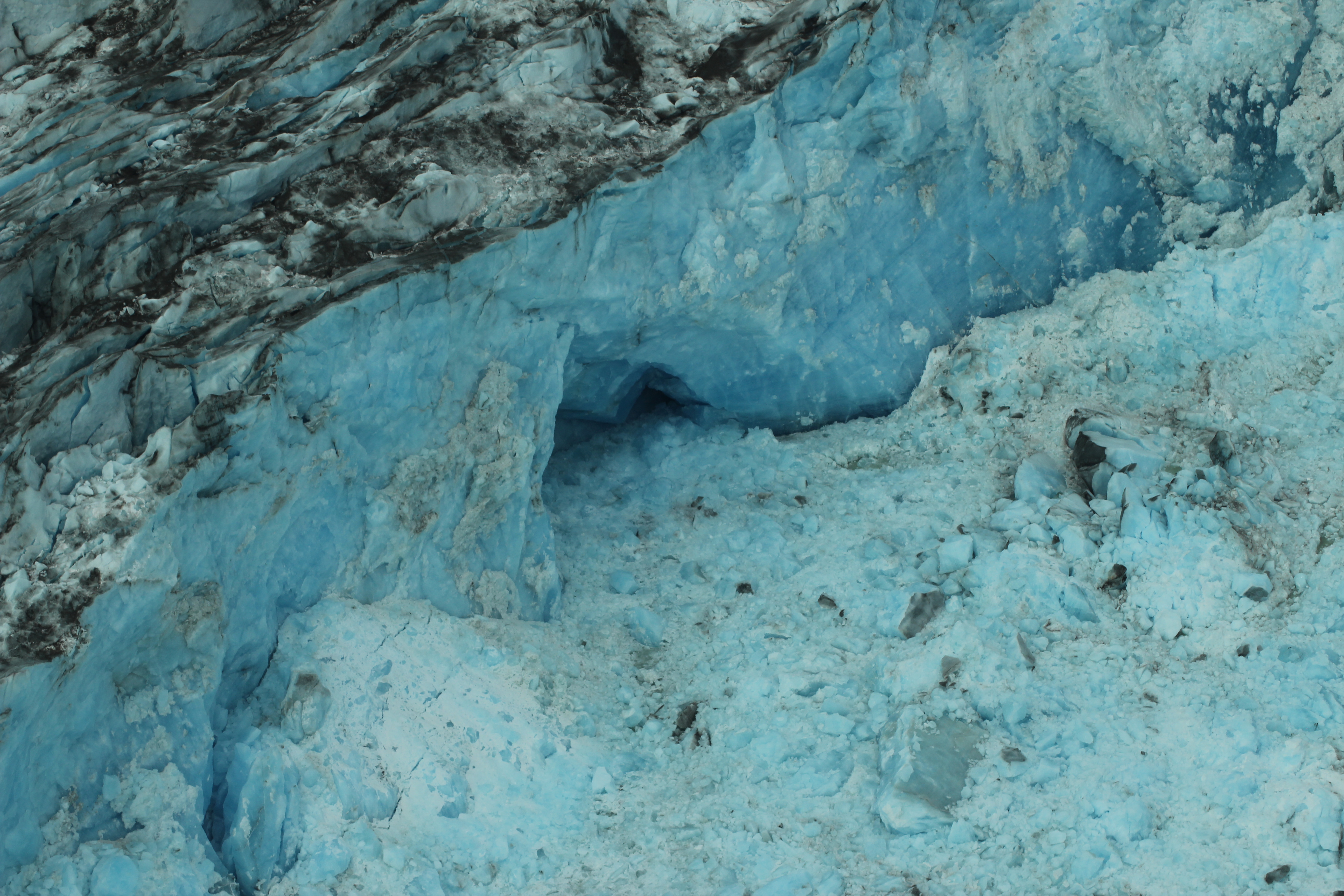
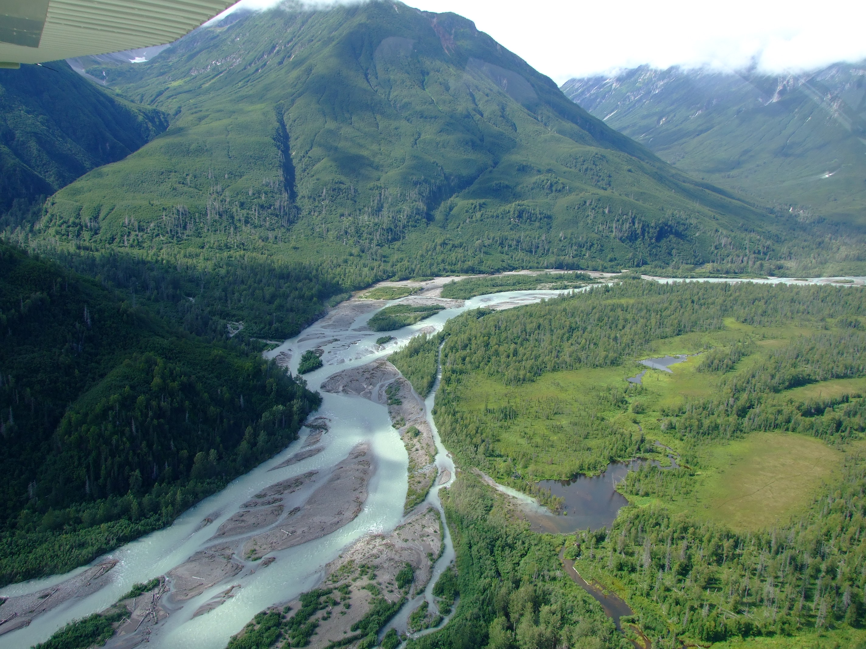
The trees at the periphery of the lake had been inundated by a rapid expansion of the water level and, closer to the, land in front of the Glacier, there were boulders of blue ice littering the banks of the principal northern riverine channel and braided streams flowing into the lake.
The trees at the periphery of the lake had been inundated by a rapid expansion of the water level and, closer to the land in front of the Glacier, there were boulders of blue ice littering the banks of the principal northern riverine channel and braided streams flowing into the lake.
The land below the moraine in front of the Triumvirate Glacier.
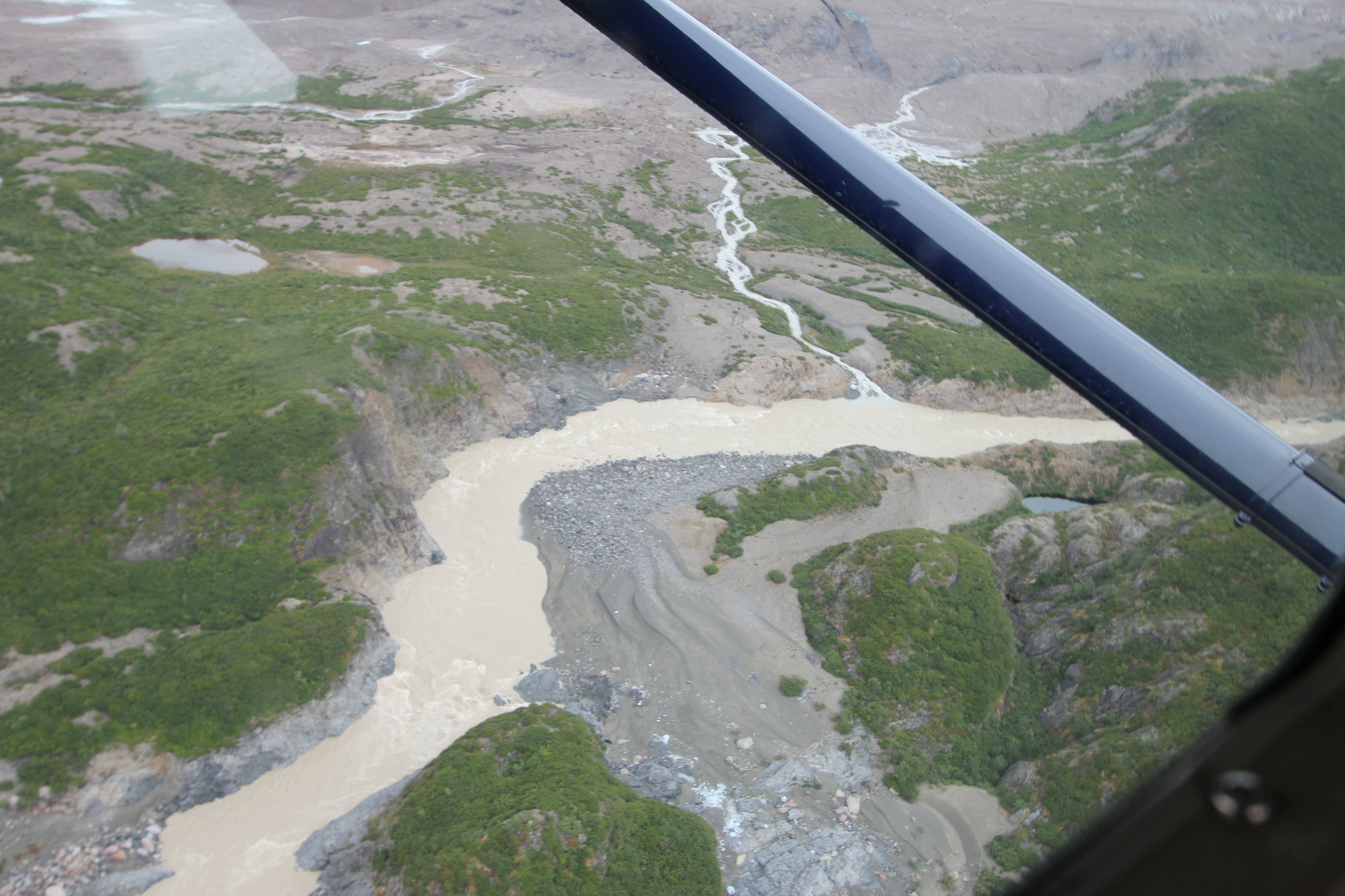
Following the course of the lateral channel flowing from the edge of the northern edge of the Triumvirate Glacier.
Following the course of the lateral channel flowing from the edge of the northern edge of the Triumvirate Glacier. Note the blue ice on the over-spill gravels.
The water clearly wasn’t flowing in any substantive measure from the frontal tongues of the glacier (although blue ice was once again deposited at the foot of the moraine)…
…and neither was it flowing over the top of the glacier’s northern-most finger of ice.
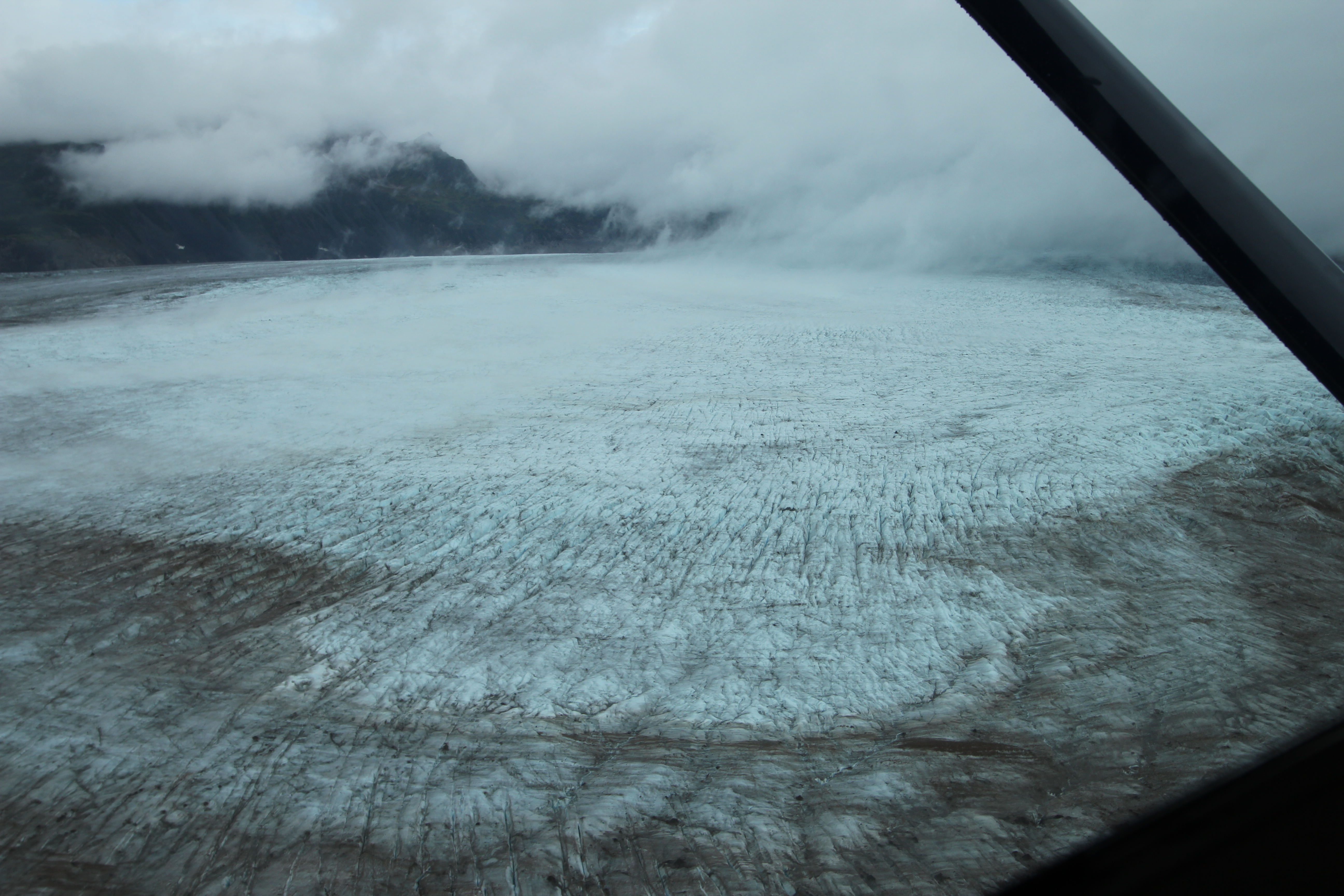
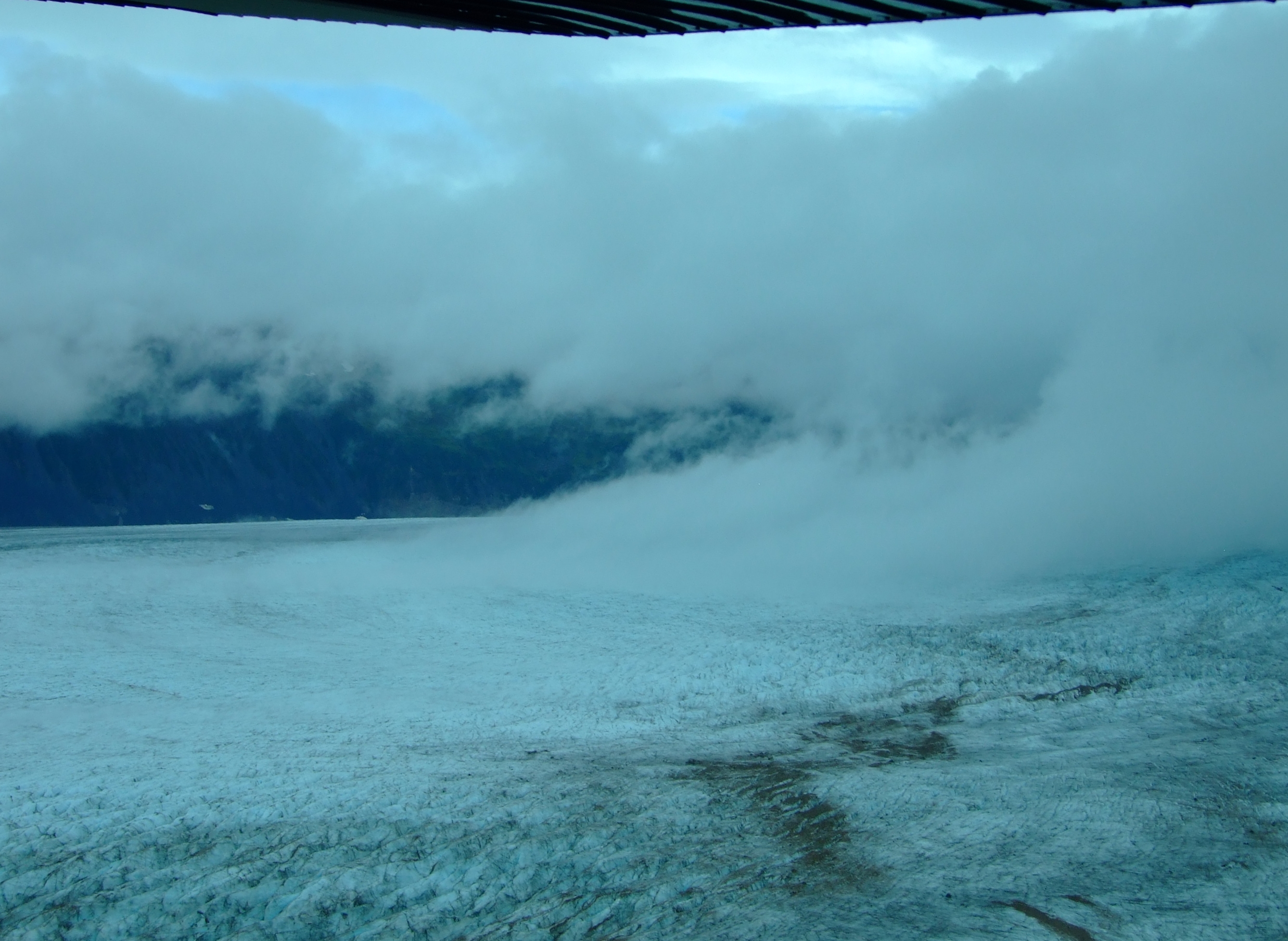
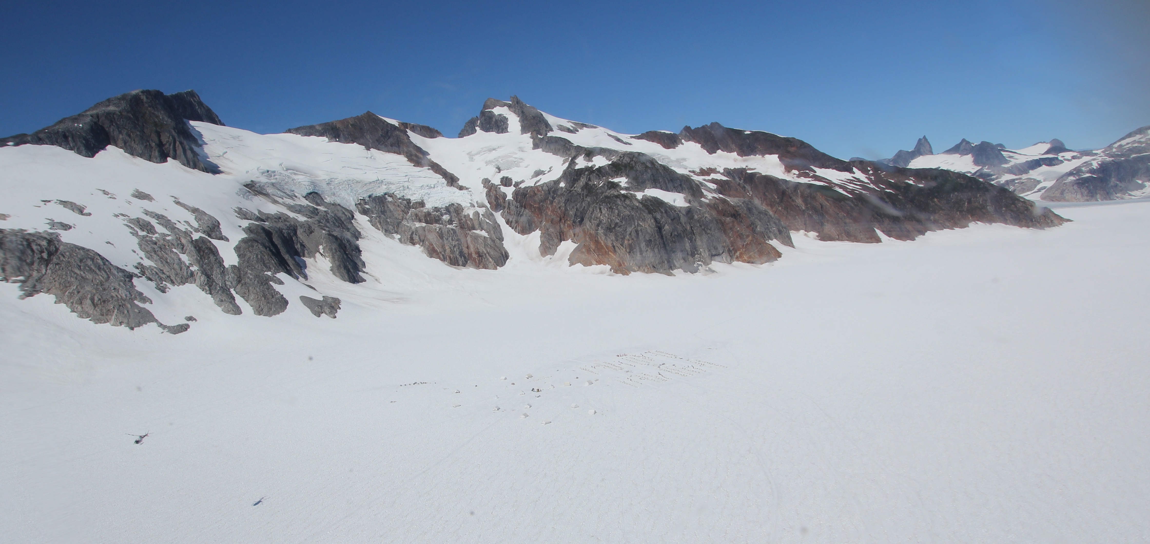
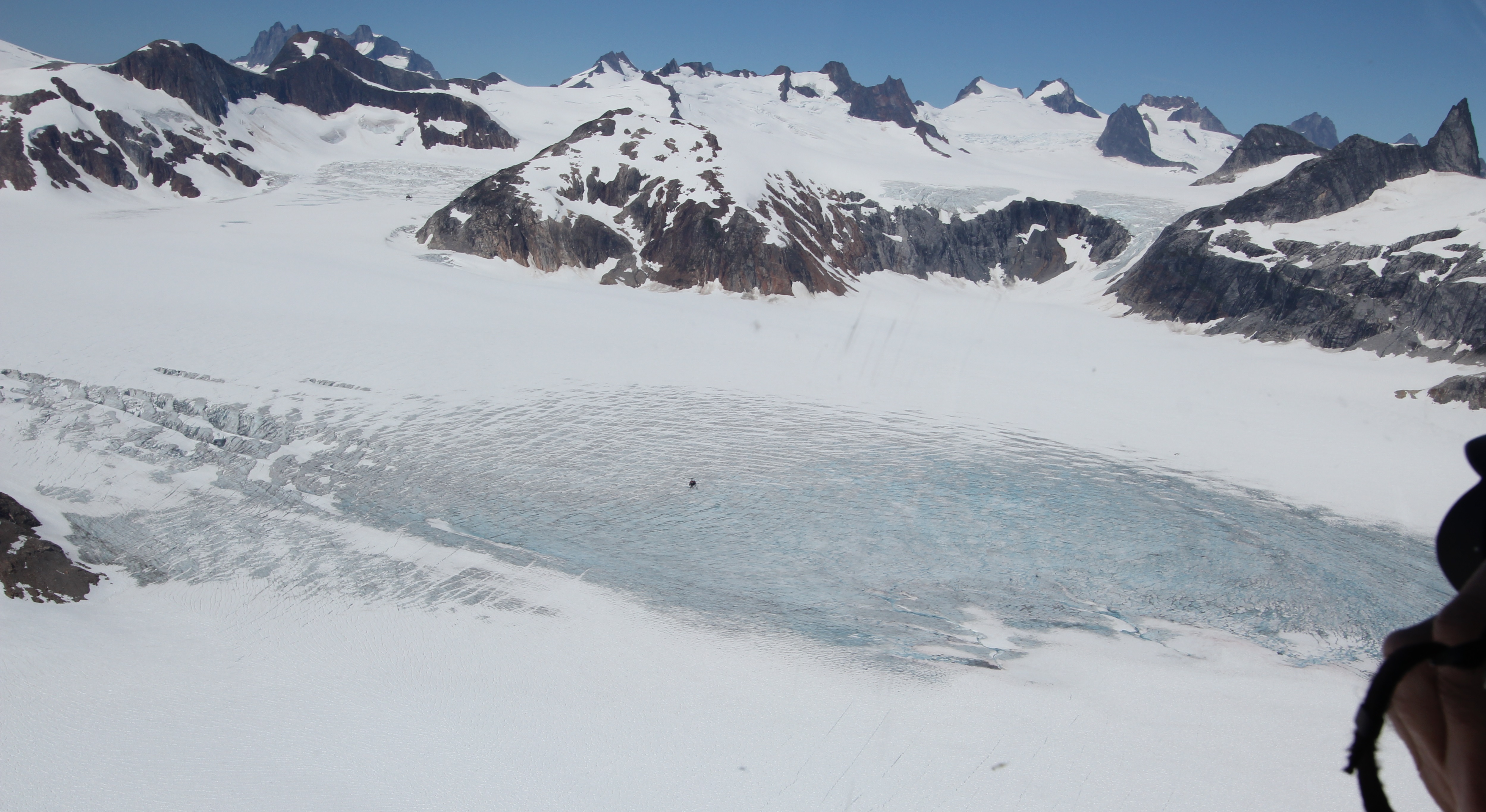
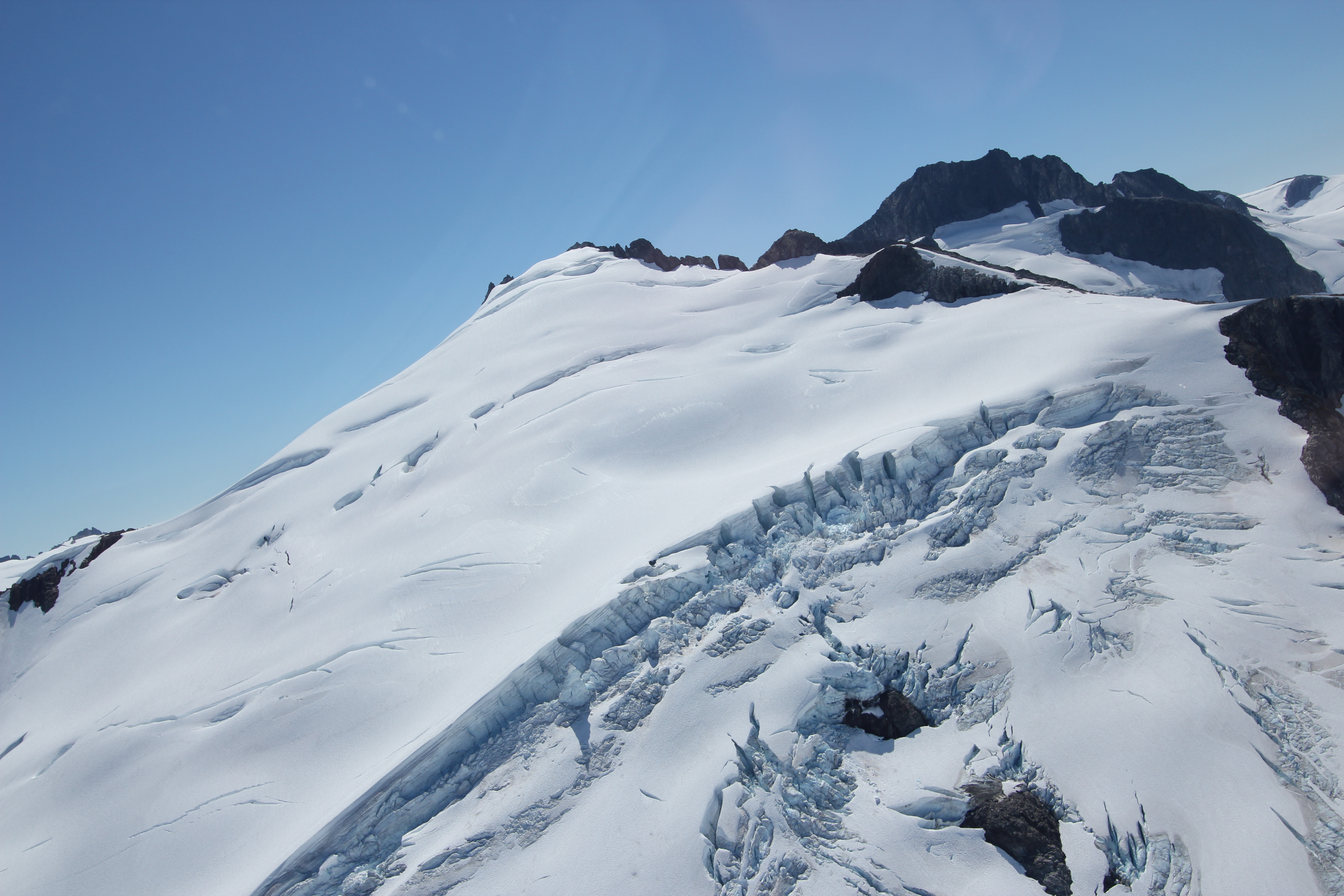
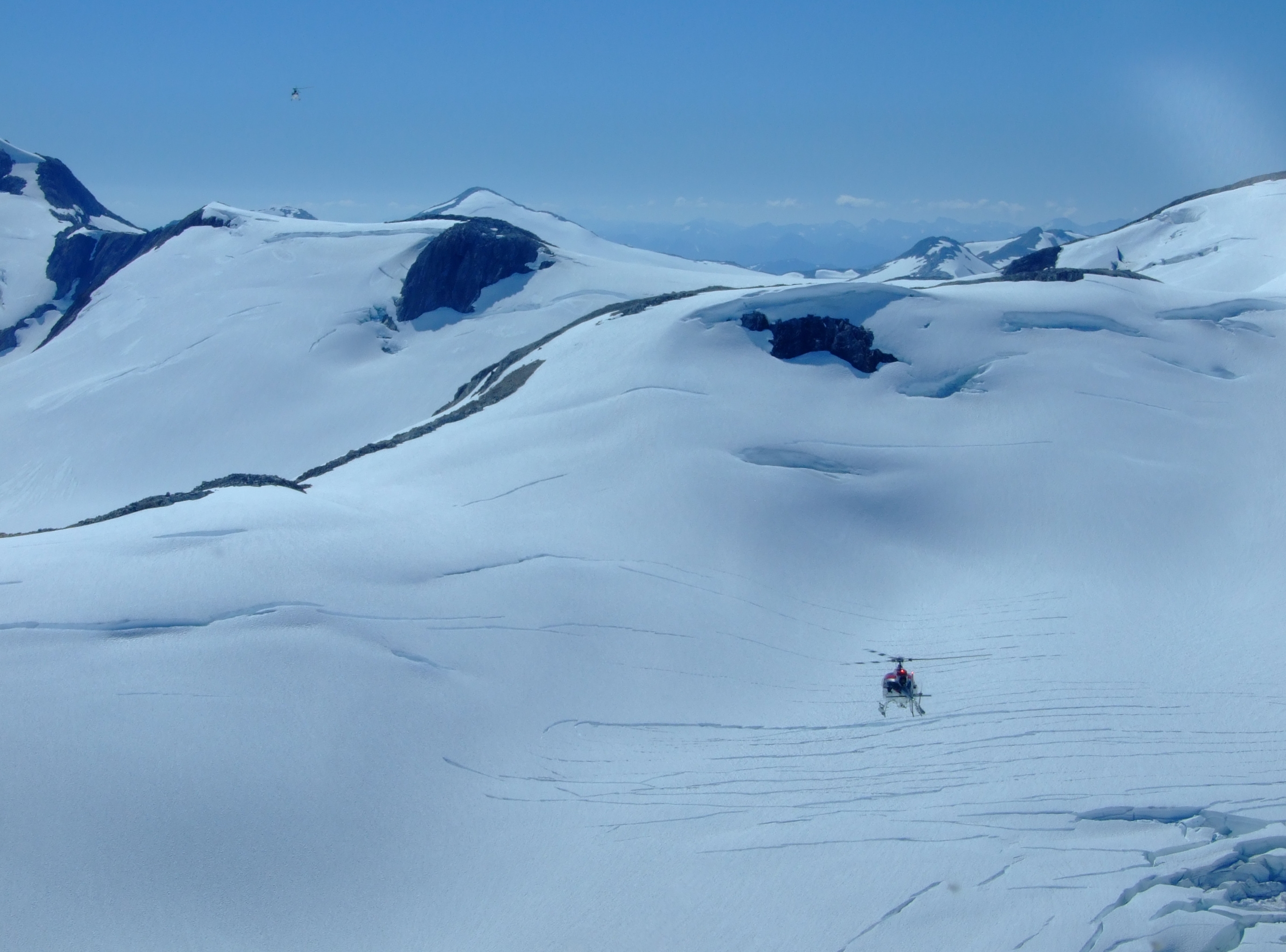
Flying up above the Triumvirate Glacier the weather was closing in, but our pilot, John Ellison, skilfully managed to get us through the turbulence between the clouds flowing down from the Tordrillo Mountains and the ice below to reveal the source of the flood…
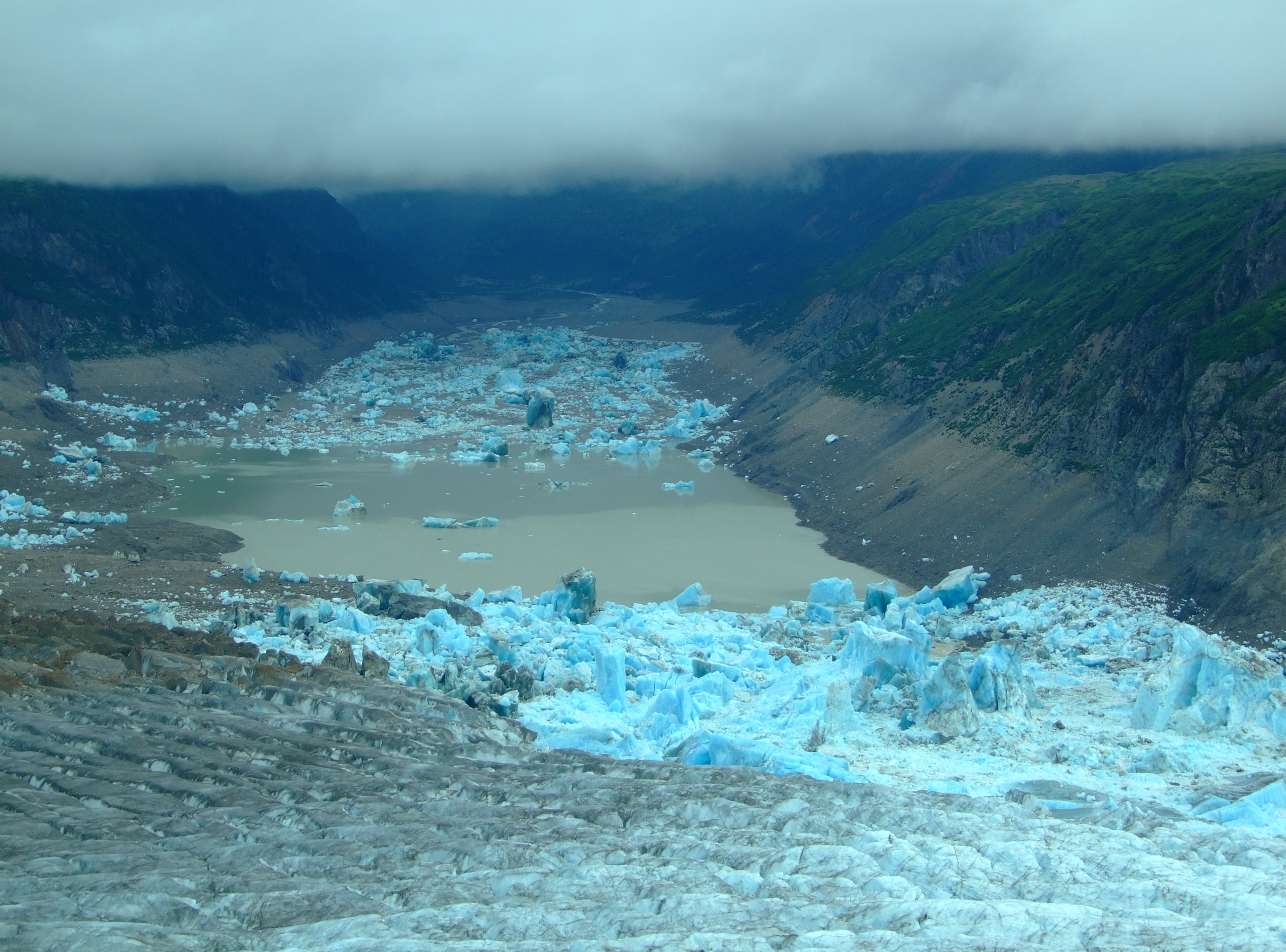
Under the impinging cloud layer, Strandline Lake was no longer impounded by the Triumvirate Glacier. Note the stranded glacial ice high on the sides of the lake’s edges. This view of its remaining waters, and the previous images of its continued outflow, show that it wasn’t yet finished draining.

We’d already witnessed the beautiful colour of consolidated glacial ice and the impressive calving of tidewater glaciers in SE Alaska, but the impact of this sight and recognition of the scale of this natural catastrophe was simply awe inspiring.

According to the U.S. Board on Geographic Names the Triumvirate Glacier was so named by S. R. Capps and R. H. Sargent of the U.S. Geological Survey “because this glacier is composed of the joining of three large glaciers.”  It flows for over 20 miles in a south easterly direction down towards Beluga Lake, and, near the glacier terminus, a north facing lobe Strandline Lake, forms an ice-dam to the outflow of Strandline Lake in its high-sided narrow valley.

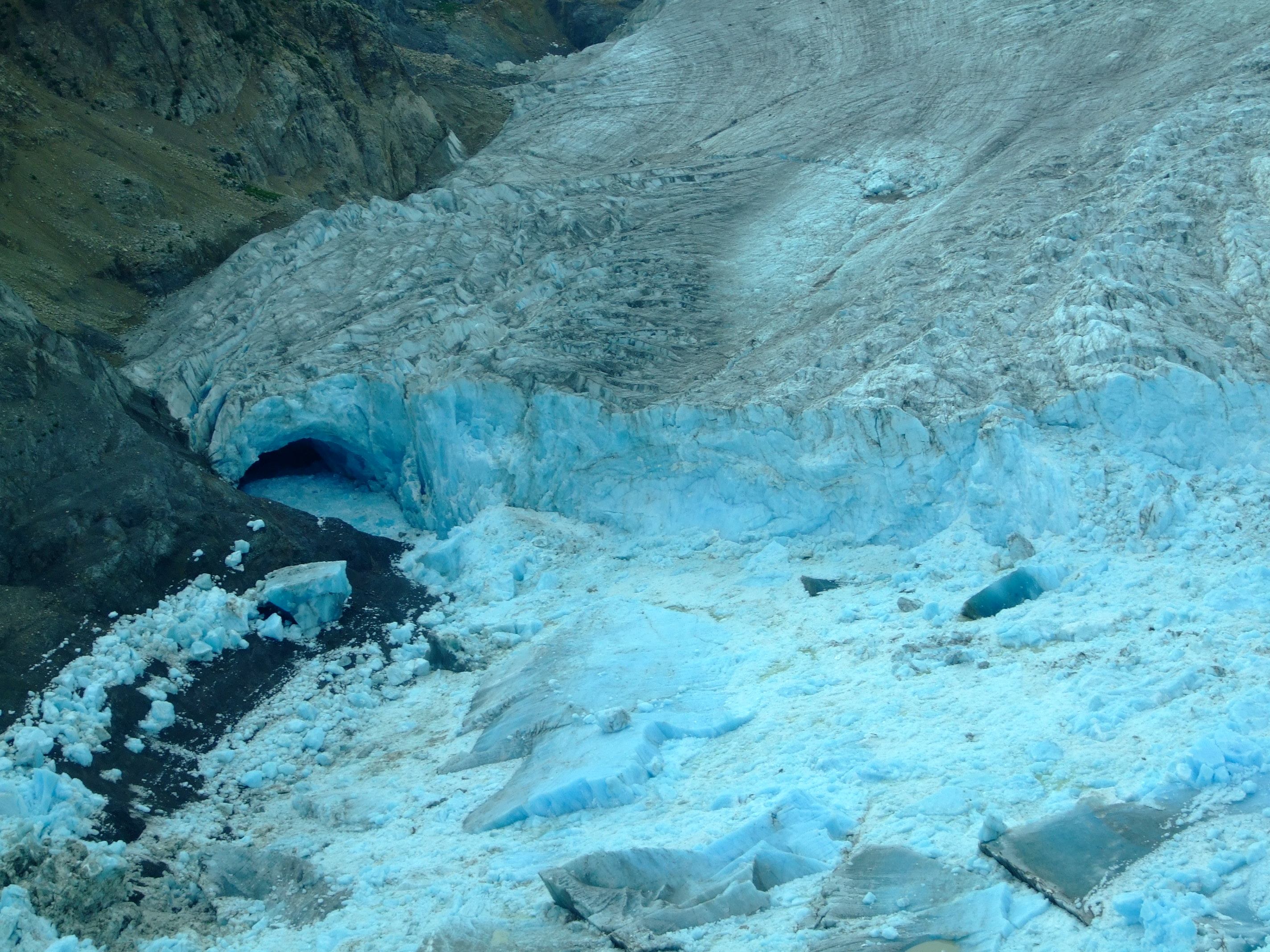
As Strandline Lake backs up and rises against the glacier lobe, calving fills the lake with icebergs that can be 120m in height. Eventually the hydrostatic pressure is sufficient to float the lobe and the water variously forces its way over the ice, down plunge pools, and through old subterranean channels in the bedrock at the northern edge of the ice, whilst also carving its way along new routes and the underside of the glacier.

Point of release.
Point of release.

This type of cataclysmic outflow is known by the Icelandic term ‘jökulhlaups’, which in English means a glacial lake outburst flood (GLOF). We’d never heard of it, let alone witnessed the results of such a catastrophic environmental event.

In the earlier video, Strandline Lake is featured from 4’ 14” to 4’ 57”.  At the point when it was filmed the lake was full and the Glacier was displaying characteristic pre-jökulhlaups glacier surface water pools.  Shortly before our arrival this condition had dramatically changed, but, if we hadn’t taken the chance to head out in a previously unconsidered direction, we’d probably still know nothing of such events.

The jökulhlaups wrecking ground of the Triumvirate Glacier at the southern end of Strandline Lake
The jökulhlaups wrecking ground of the Triumvirate Glacier at the southern end of Strandline Lake.

The month after our visit this video was posted showing a view of the devastation from a R44 helicopter:

A more detailed description of how Strandline Lake is repeatedly blocked and the resulting release and refill mechanisms can be found in the very easily read A History of Jökulhlaups from Strandline Lake, Alaska, USA by Matthew Sturm and Carl S. Benson (Journal of Glaciology, Vol.31, No. 109, 1985). Given the publication date, it naturally enough focuses on the September 1982 jökulhlaups when it was calculated that over 95% of Strandline Lake had drained out, releasing about 185 billion gallons (700 million m3) of water, although it is estimated from earlier strandlines that previous releases could have been up to 65% greater by volume.

Other online literature is, unsurprisingly, sparse, but while Sturm and Bensons’ historical (1940 to 1982 (and 1984)) investigations show a release frequency of every 1-5 years, anecdotal and video evidence suggest that an annual release is possibly now more the norm.

In 2013 National Geographic Channel TV viewers might have watched episode 3 of the first series of “Ultimate Survivor Alaska” which was titled “Into the Void” [].  It was filmed in the Fall of 2012, and shows that Strandline Lake (see 24’25” to 34’38”) had been recently drained (and why you might not want to be down there crossing it on foot).

The year after our visit Strandline Lake was once again captured on video in a pre-jökulhlaups condition during the flight in a Cessna 180H floatplane into Beluga Lake posted in July 2014:

In a video uploaded in early August 2014, another R44 helicopter flight recorded post-jökulhlaups conditions:

Given the weight of video evidence in this post, travelling to Beluga Lake is clearly not restricted to grey days.  Nor is it restricted to summer months and floatplanes, but you might want to consider the following statistics in planning whether your fly-in uses floats, skis or wheels to get down at Beluga Lake:

Year Freeze Start Freeze Final Breakup Start Breakup Final
2002 26/10/01 01/11/01 30/05/02 30/05/02
2003 Latest – 13/12/02 Latest – 19/12/02 Earliest – 13/05/03 Earliest – 18/05/03
2004 09/11/03 19/11/03 17/05/04 04/06/04
2005 03/11/04 20/11/04 23/05/05 23/05/05
2006 03/11/05 06/11/05 23/05/06 30/05/06
2007 31/10/06 09/11/06 21/05/07 Latest – 08/06/07
2008 08/12/07 08/12/07 Latest – 01/06/08 01/06/08
2009 Earliest – 24/10/08 Earliest – 24/10/08 18/05/09 30/05/09
2010 08/11/09 10/11/09 29/05/10 29/05/10
2011 27/10/10 22/11/10 20/05/11 29/05/11
2012 05/11/11 05/11/11 21/05/12 02/06/12
2014 07/11/13 18/11/13 14/05/14 20/05/14

Freeze Start = first time lake at or greater than 10%. Freeze Final = first time lake greater than 90%.
Breakup Start = last time lake greater than 90%. Breakup Final = last time lake at or greater than 10%.

[Data from the NPS]

In addition to a check on the condition of Strandline Lake before landing on Beluga Lake, it’s probably also worth bearing in mind that these jökulhlaups don’t only occur in the fall.  Click here for a link to images of the December 1980 Beluga River Outburst Flood, noting how far the destructive force of the water will travel.

A final close up of the shattered edge of the glacial lobe.
With buffeting winds propelling the cloud down the glacier it was time to get out.

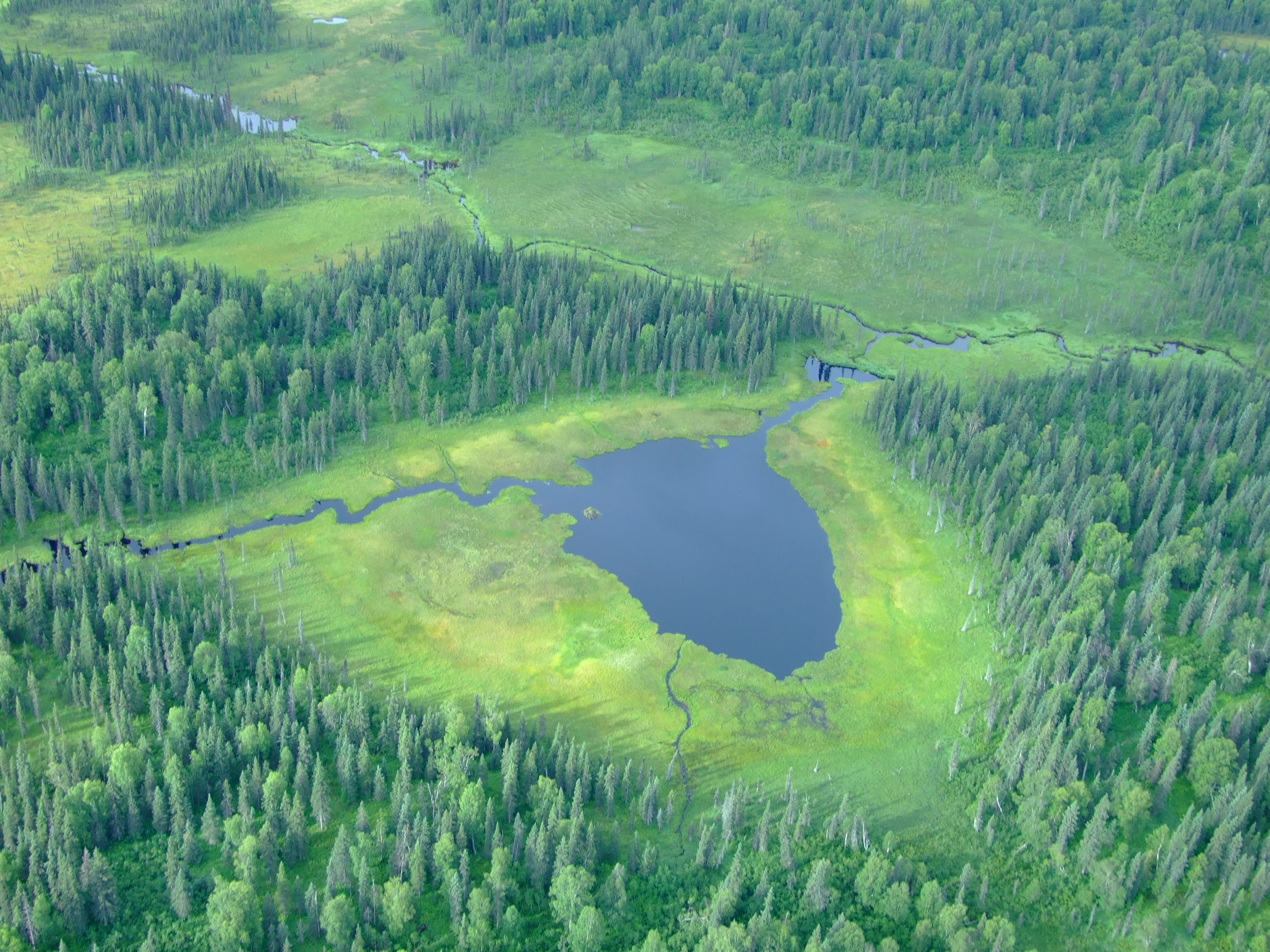
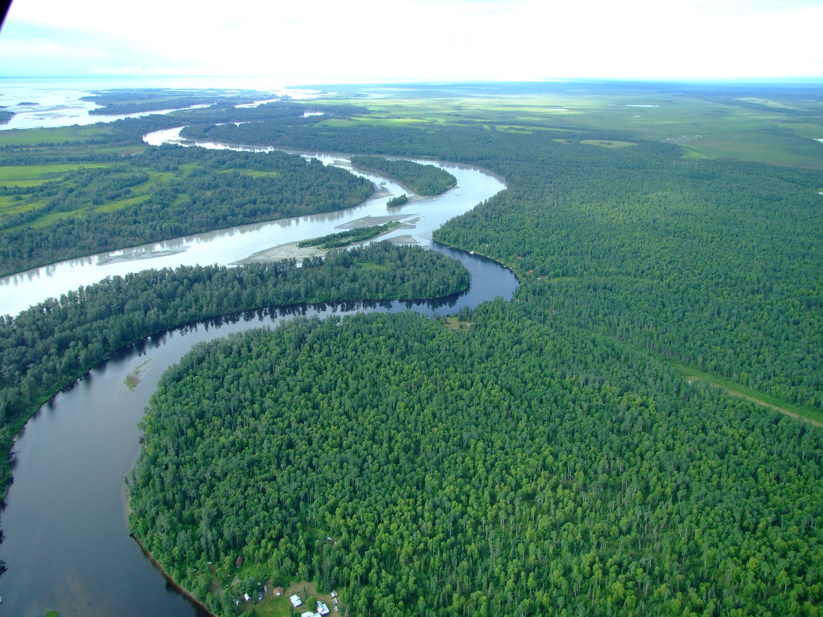
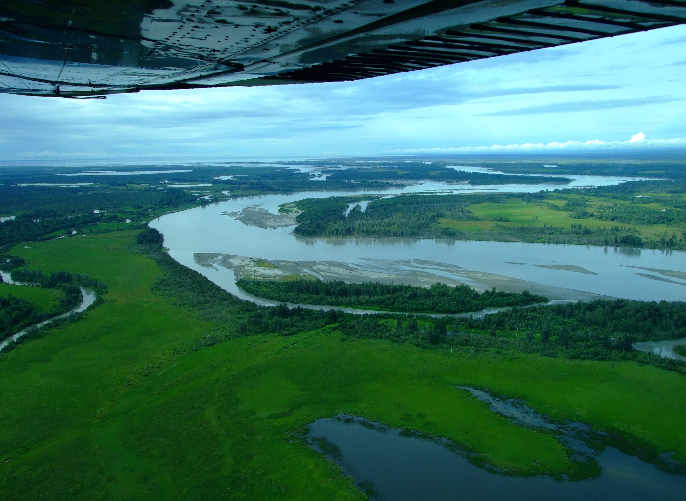
The journey back was a more direct overland route and took under 40 minutes. Once again, the landscape was a mosaic of waterways and wetlands, with the trees also occasionally revealing cabins and landing strips as we re-crossed the Susitna River, before more managed pastures and small herds of cattle came into view.

Mat-Su land of lakes

Mat-Su wetlands

Crossing the line of the Lewis River as it flows SW towards the coast.
Past the Lewis River and looking SW, on the way down to the Susitna River and flats travelling to the SE.
The village of Alexander (population 40) curves around the right bank of Alexander Creek before it flows into the Susitna River. There was a native settlement recorded here in 1898.
Over the Susitna on the way back to Anchorage.

Our round trip only took about 1.5 hours, but, when we landed safely back at Lake Hood, we knew that we had made the right decision to fly west that day, and that we’d been spectacularly rewarded with a once in a lifetime experience.


Aside from Ellison Air and Rust’s Flying Service (who don’t list this trip as a regular departure, so prices are on application) there are a number of other Anchorage based operations who offer flightseeing over this fantastic area, including

  • Sound Aviation charge $200 p/p for an approximately 1.5 hr “Volcano/Glaciers” flightseeing experience  They operate from Merrill Field airport using asix passenger retractable wheeled landing gear Piper Lance.
  • Trail Ridge Air offer a 60 min. “Discover Alaska” flight for $150 p/p  from Lake Hood in a Dehavilland DHC-3 Beaver floatplane.

Two views over Omiš – Mila Gojsalić and the Mirabella

In the heat of a Croatian summer it pays to get up and head out as early as possible, which is why, at 07:20AM, we found ourselves in front of the gate of the Utvrda Peovica (Mirabela Fortress) in the Dalmatian Adriatic coastal town of Omiš.  Here we discovered that the locals didn’t share our ideas.

You can get to the entrance of the Mirabela Fortress by following the signs up a short 10-15 min. walk from the square where St. Michael’s Church (Crkva Sv. Mihovila) is located on Knezova Kačića in Omiš old town.]
You can get to the entrance of the Mirabela Fortress by following the signs up a short 10-15 min. walk from the square where St. Michael’s Church (Crkva Sv. Mihovila) is located on Knezova Kačića in Omiš old town.

We briefly returned to our nearby accommodation at Villa Mama before heading out again, this time to where our car was conveniently parked on the western bank of the Cetina River.  At 07:44 AM it was already 27°C (80.6°F), but we didn’t have long with the air conditioning.

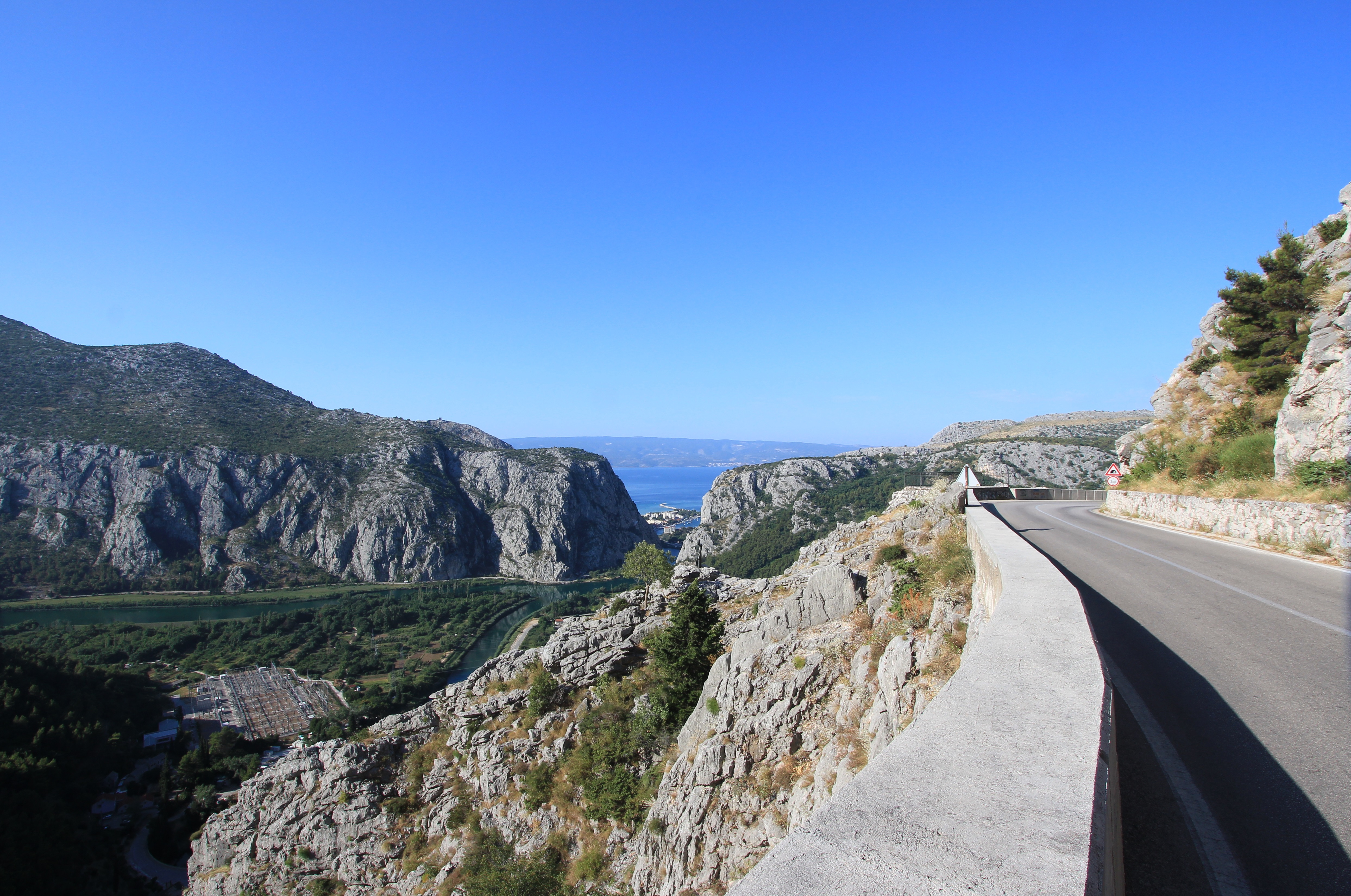
Taking Mosorska cesta north out of Omiš along the right bank of the Cetina and up the hairpin bends of the D70 for 4.1 km (2.5 mi.)/about 7 minutes, we then turned right onto the Z6165.  Continuing along this road for a further 1.1 km (0.7 mi.) we passed through a short narrow tunnel (with priority to oncoming traffic) and reached our destination which was marked by a raised viewpoint with an iron fence.

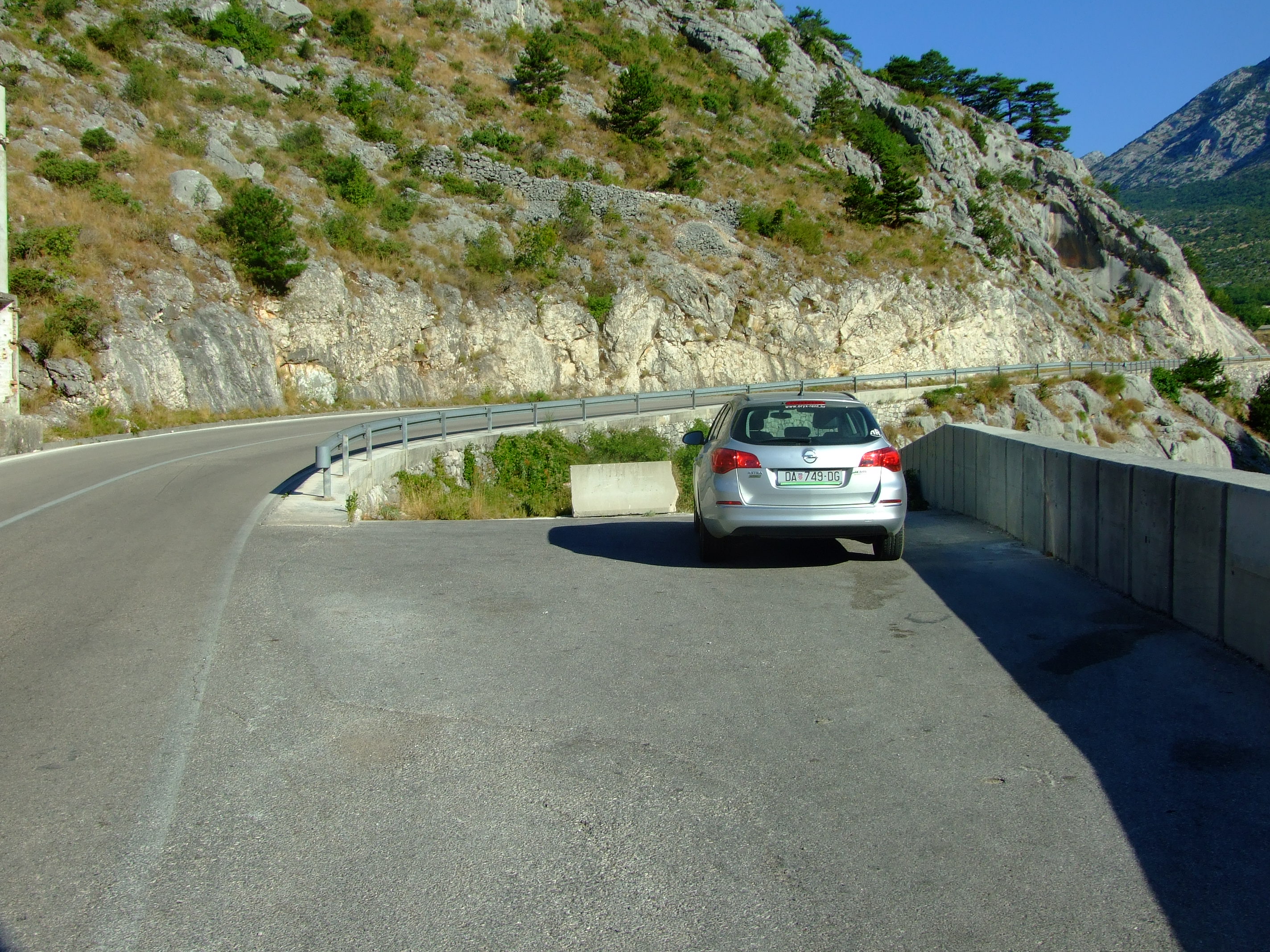
We couldn’t park by the viewpoint (take a look at Google Streetview in warning of the potential consequences of doing so), so we drove another 130m to a point where there’s a blocked off turning to an unfinished road, and plenty of space to pull over and park.
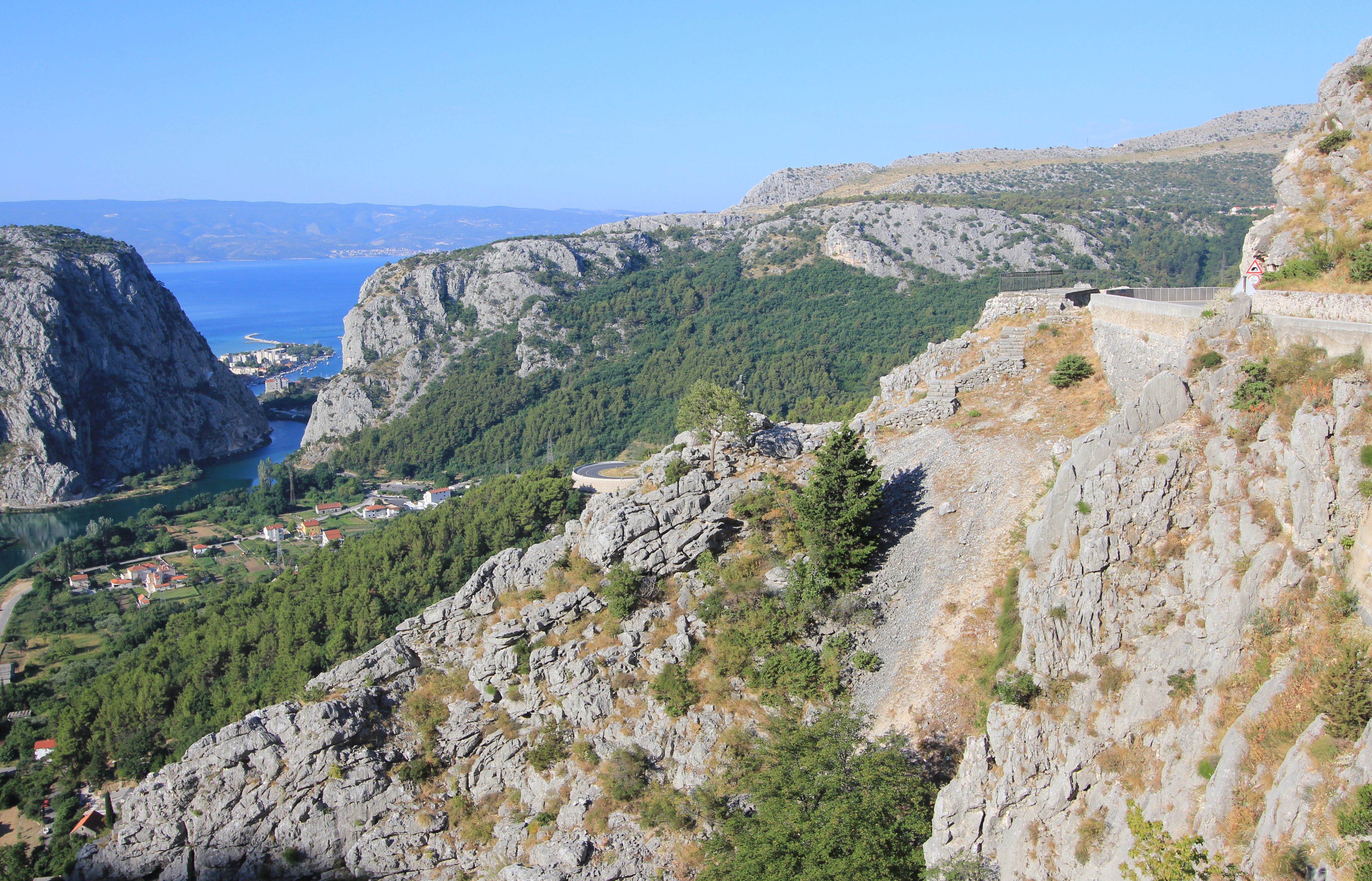
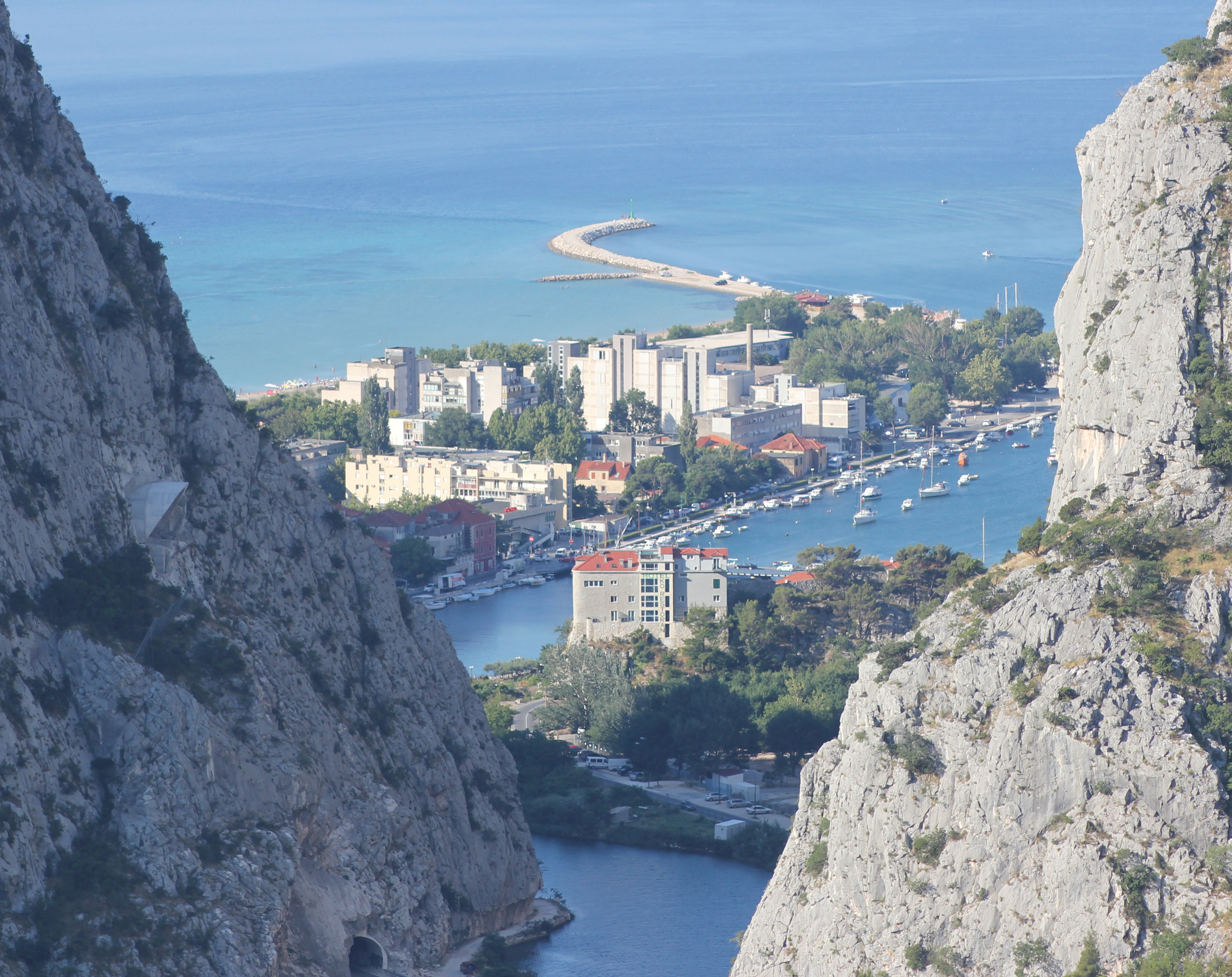
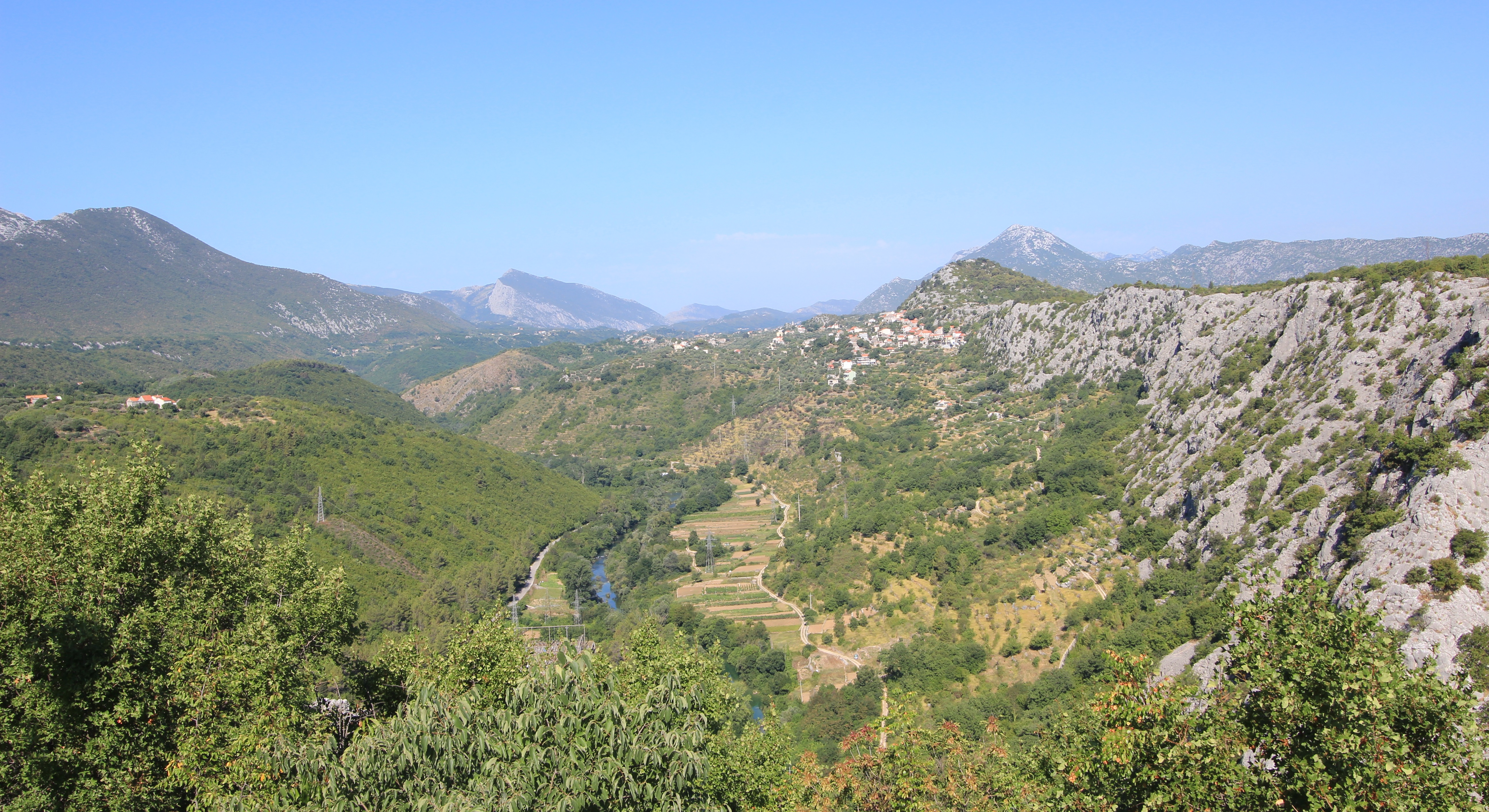
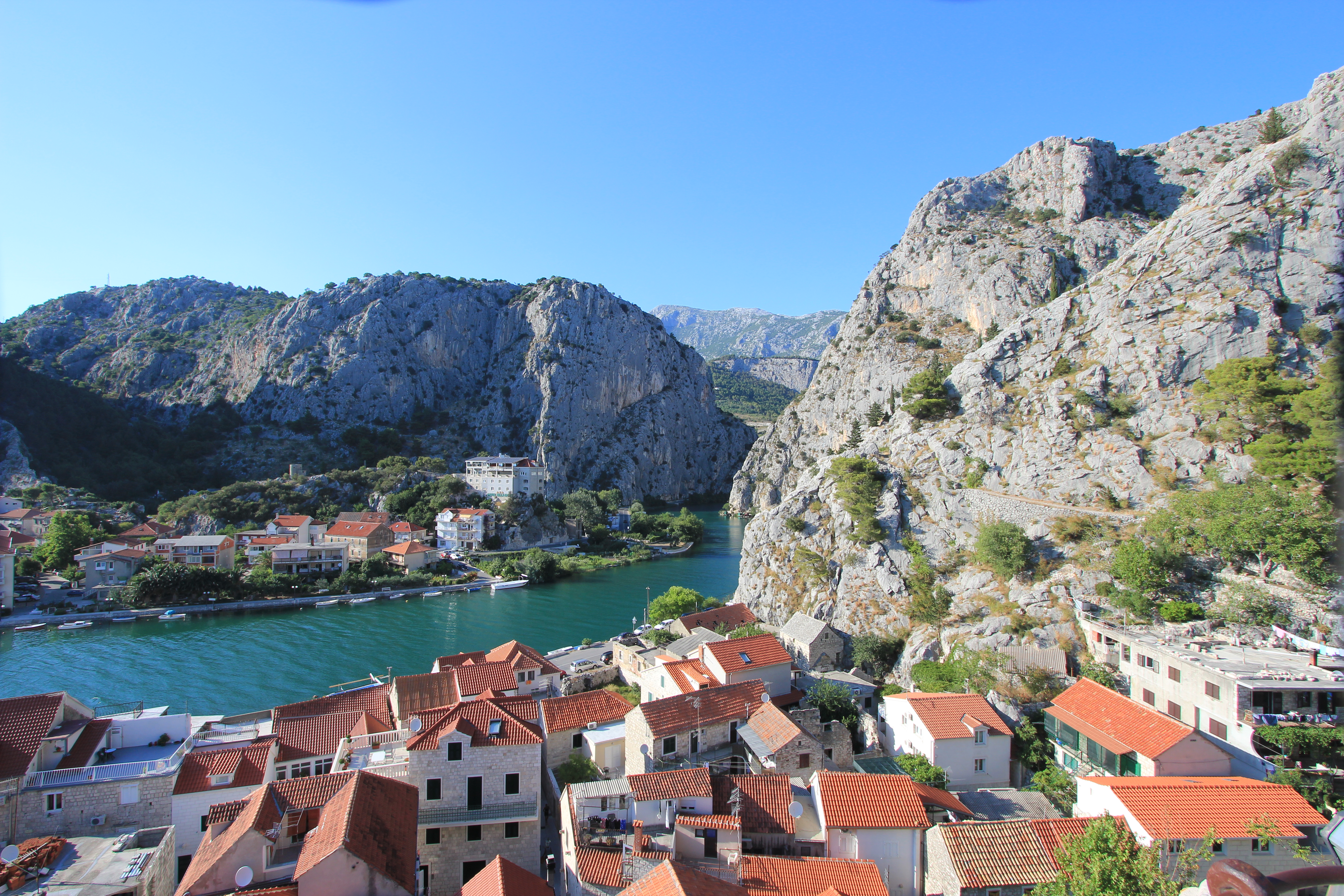
The view over the end of the Cetina valley with a glimpse of Omiš, and beyond to the Brač Channel and the northern edge of the island of Brač. The viewpoint is visible by the road to the right, a couple of bends away.
With little space between the road and the edge barrier we walked carefully, keeping one eye on the view and one eye on the traffic, as we heeded back to the viewpoint.
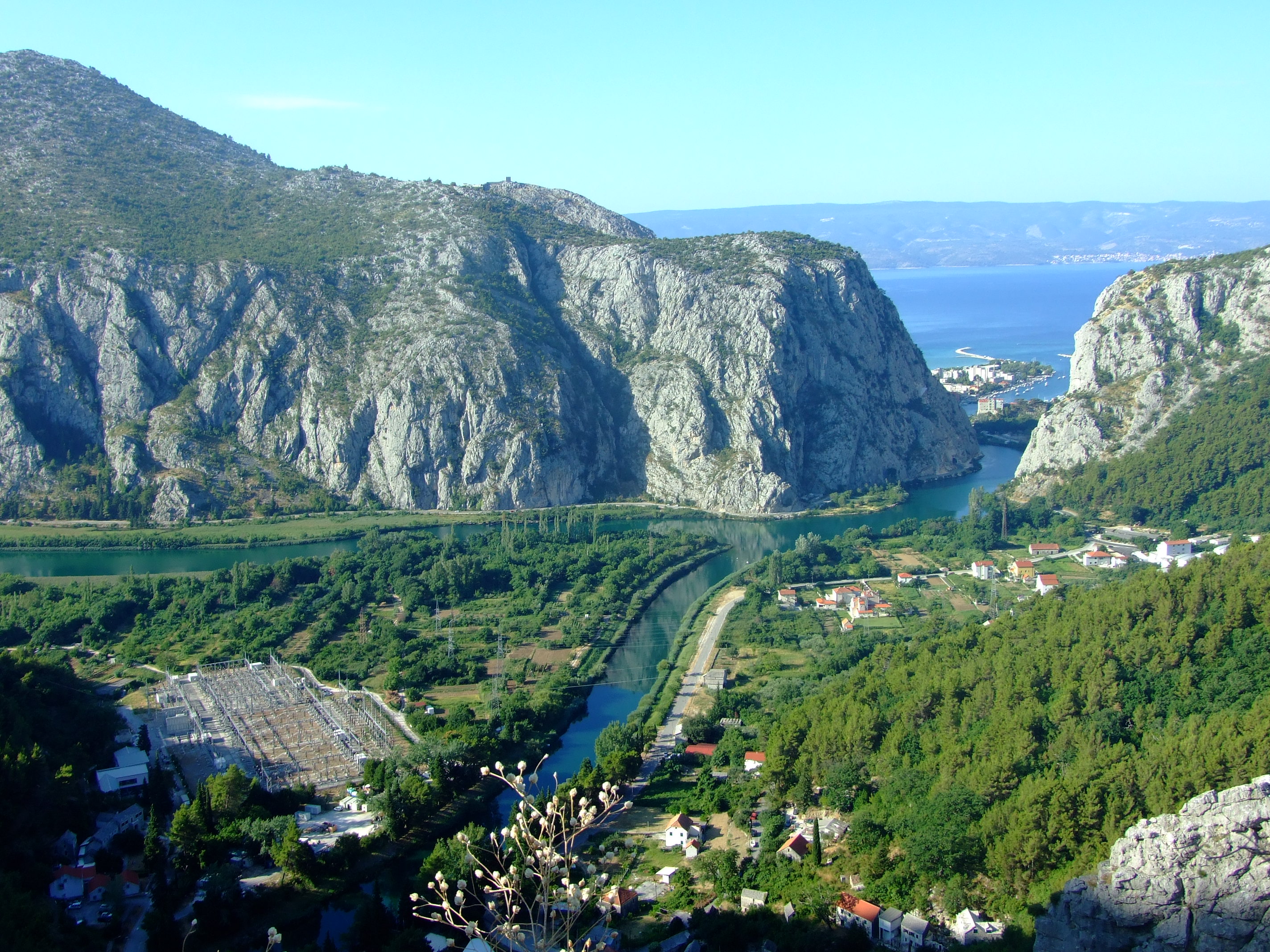
The Cetina River and the Zakučac Hydroelectric Power Plant (HPP) - the largest HPP in Croatia by capacity - are clearly visible from above.
The Cetina River and the Zakučac Hydroelectric Power Plant (HPP) – the largest HPP in Croatia by capacity – are clearly visible from above.
A close up of part of Omiš divided by the Cetina. In the still-shaded rock face to the left you can see the hooded entrance to the tunnel at the Omiš end of the proposed Omiš-Dugi Rat bypass. If it’s ever finished a bridge will have to span this view in future.
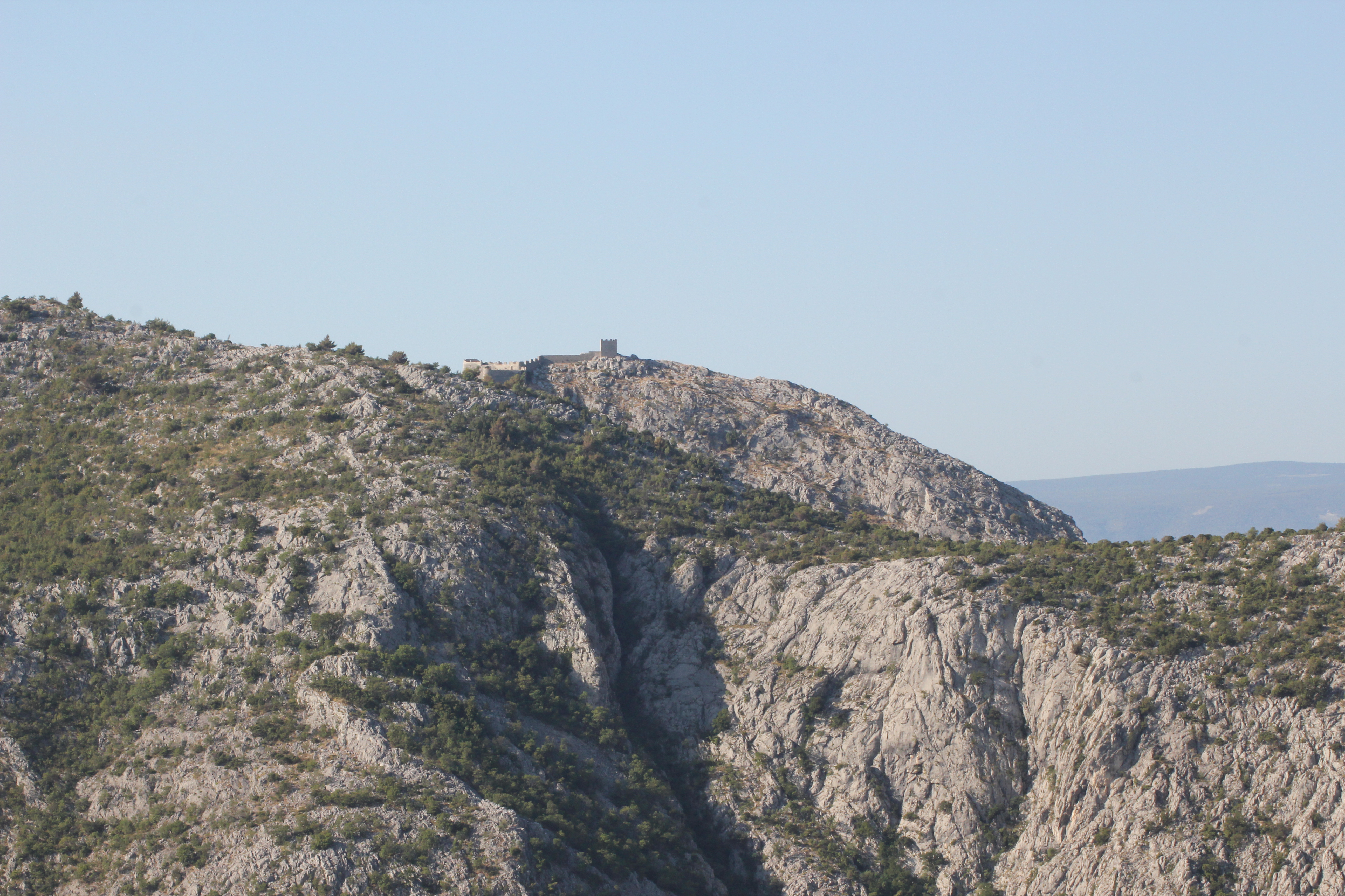
Visible on a ridge of the Omiška Dinara mountain on the other side of the valley is the 15th century Starigrad Fortress (Fortica), but this telephoto view was as close as we would be getting that day…
We’ll save this walk for another time, and not in the height of summer.
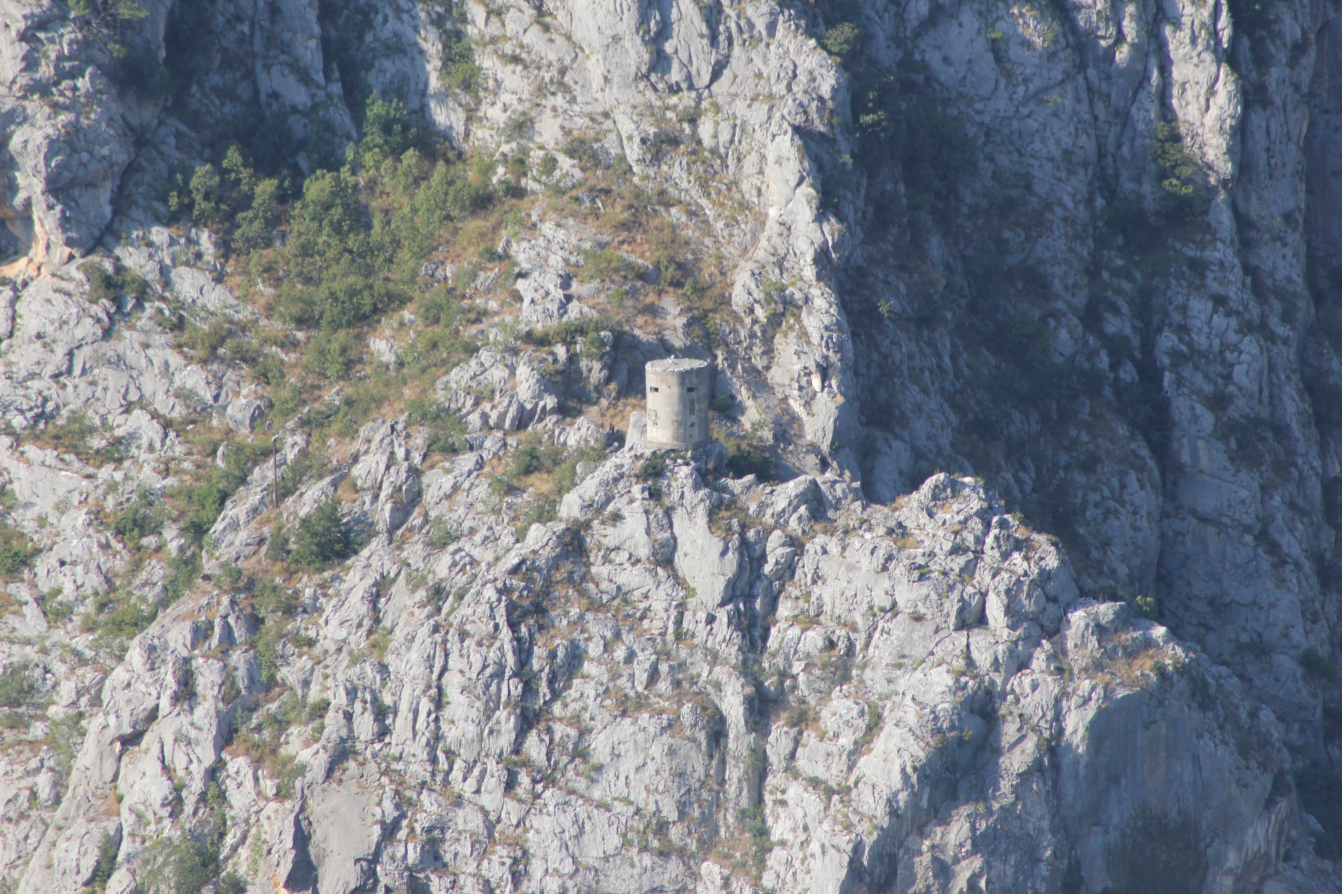
A long way below the Starigrad Fortress and just above the Z6166 as it leaves Omiš and turns east along the left bank of the Cetina is another small defensive tower. It’s just about visible from the road below if you know when to look up, but there is no established footpath to reach it.

Our new destination that morning was very specific, and this video from Crodrone captures the setting of the Mila Gojsalić memorial statue perfectly:

The story of Mila Gojsalić (also spelled “Mile Gojsalića”) is nearly 500 years old, and is set in the context of the tiny semi-autonomous ‘republic’ of Poljica standing against the might of the Ottoman Empire at the height of its power.

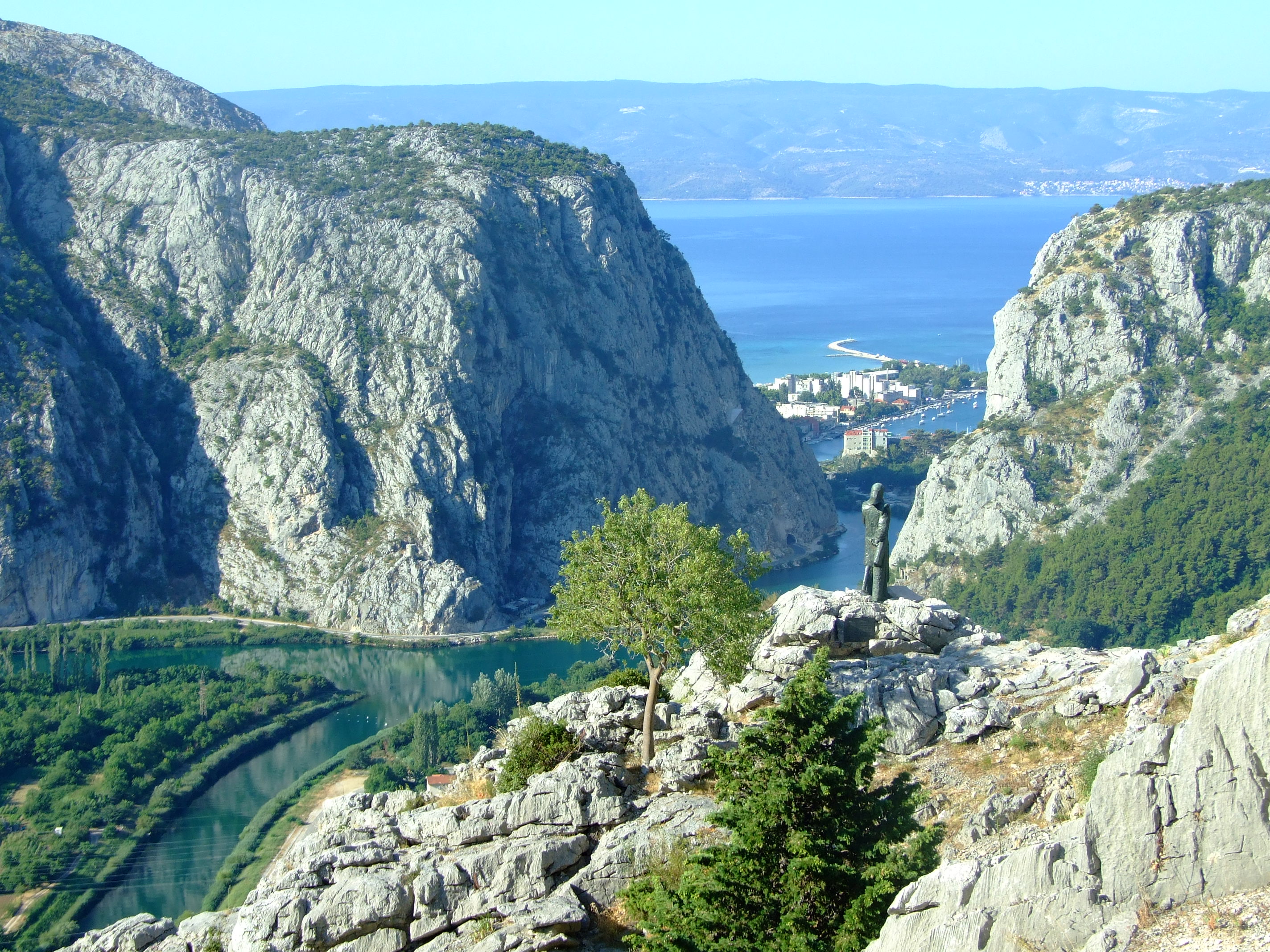
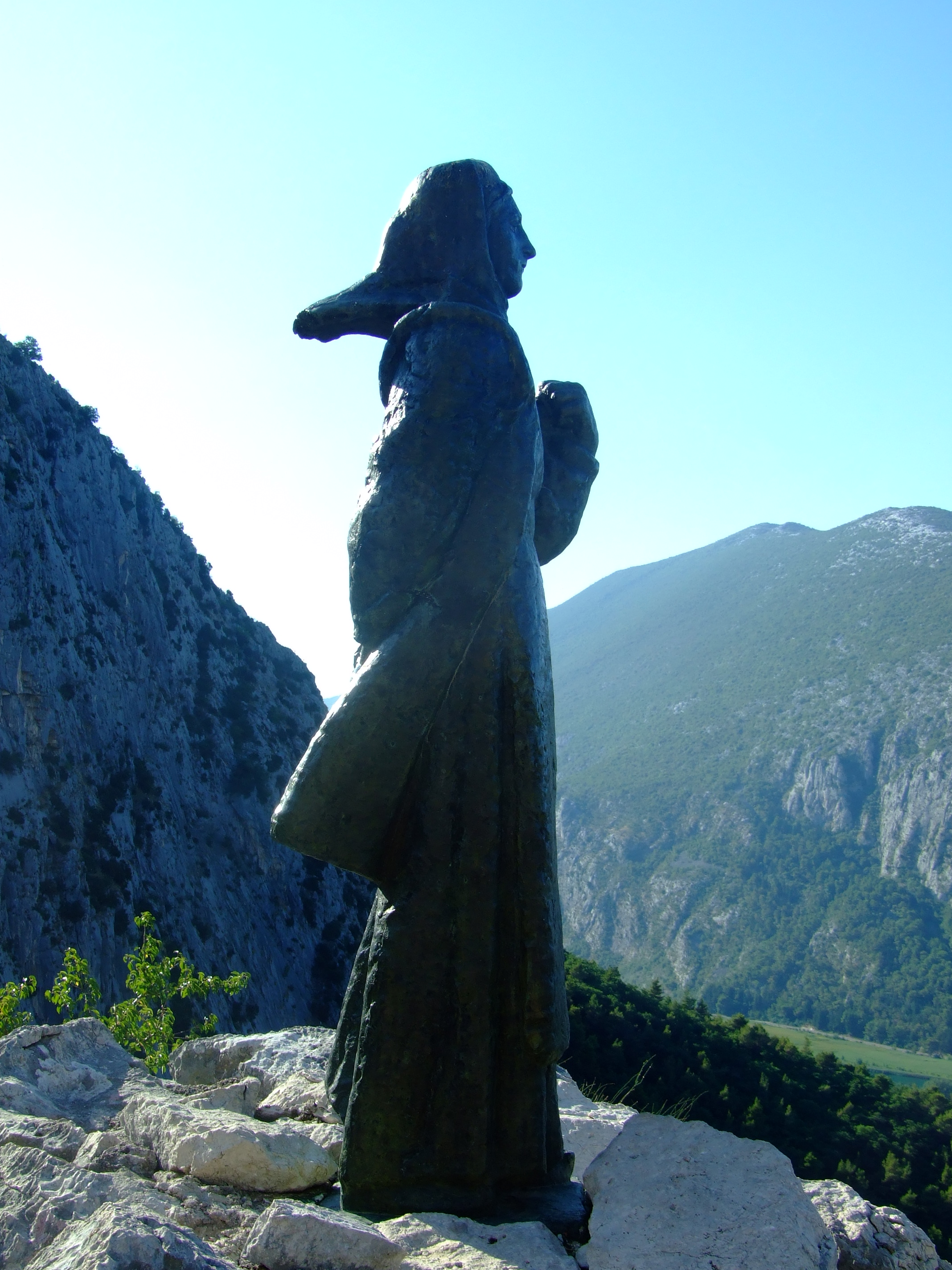
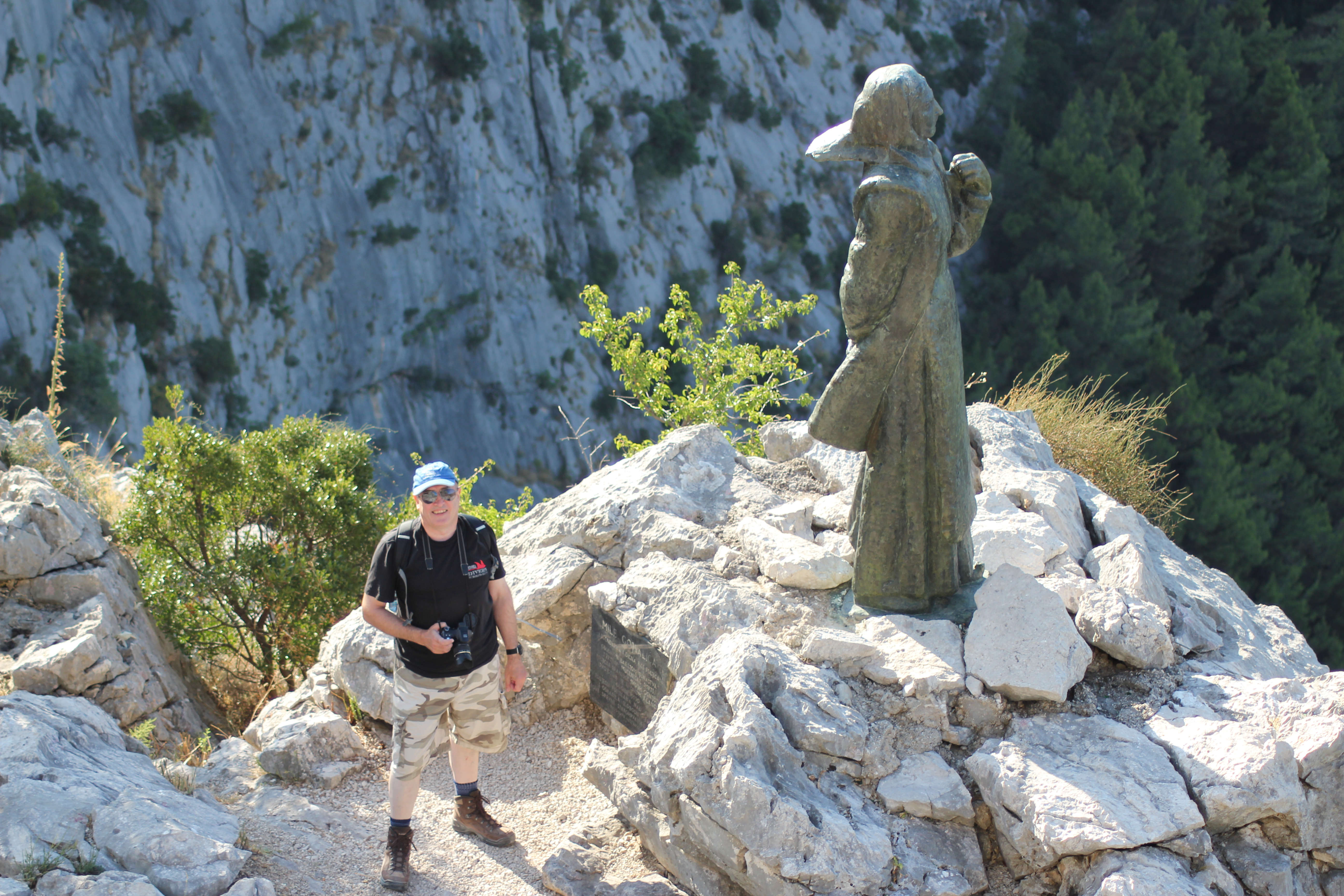
In 1530 the spirit of Poljica burned so brightly in one of its daughters that she is still remembered by name to this day. The statue of Mila Gojsalić by Ivan Meštrović was erected at this point (Lat.-Long: 43.460489, 16.700175. GPS: 43° 27' 37.7604'', N16° 42' 0.6300'' E) in 1967. You can also spot the tower from the previous image in this photo.
In 1530 the spirit of Poljica burned so brightly in one of its daughters that she is still remembered by name to this day. The statue of Mila Gojsalić by Ivan Meštrović was erected at this point (Lat.-Long: 43.460489, 16.700175. GPS: 43° 27′ 37.7604”, N16° 42′ 0.6300” E) in 1967. You can also spot the tower from the previous image in this photo.

The history of Poljica is fascinating in its own right (see the links at the bottom of this post).  For a people to successfully cultivate a viable, ordered living from this harsh landscape is no small feat.  For such a small community to then continuously develop, define (with a series of formal statutes), and effectively defend (both by the political expediency of token suzerainty and armed resistance) a unique form of rural democracy largely on their own terms, for hundreds of years, is nothing less than remarkable.

A view of Poljica (pronounced ‘Pol-yee-tsa’) looking NW from Zadvarje. This is the south eastern section of Sredjna (Middle) Poljica along the line of the Cetina Valley as it flows away towards Omiš.

However, in 1530 the future looked bleak.  During the previous century the Ottoman Empire had expanded rapidly into Europe.  In 1463 the Bosnian Kingdom had fallen to the army of Mehmed II in a matter of just a few weeks following the capture and execution of King Tomašević at Jajce, only 105 km (65.2 mi.) NNE of the Poljica village of Kostanje (named for its plentiful Chestnut trees) where Mila is said to have come from.  The Ottomans created the sanjak of Bosnia, their westernmost province, from the central part of the conquered areas of Bosnia, and enlarged it further in 1482 when they took the Duchy of Herzegovina from the House of Kosača.

In 1493 the Ottomans had taken the Imotski fortress, 30 km (18.6 mi.) ENE of Poljica. Raiding further to the west, and less than 150 km (93.2 mi.) NW of Poljica, the Ottoman forces decisively defeated the combined troops of several Croatian nobles at Krbava Field, near Udbina, on the 9th September 1493, but for Poljica the threat of Ottoman expansion became reality when a “major Turkish detachment crossed the river Cetina into Poljica for the first time in 1500, taking one hundred and fifty people prisoner.” [See article by Edo Pivčević linked below]. Given that the population of Poljica at the time was only in the low thousands this would have been an almost unimaginable shock to the community.  By 1502 Venice had ceded the Tvrđave Duare castle at Zadvarje at the south-eastern end of Poljica to the Ottomans and the threat, if not the reality of conflict, was a daily fact of life.

The morning sun rises over the Mila Gojsalić statue.

Ottoman forces finally seized the then political centre of Croatia at Knin in May 1522, with the downstream town of Skradin at the mouth of the Krka River (around 60 km (37.3 mi.) from the northern borders of Poljica) quickly following, but the inhabitants of Poljica had been on the receiving end of Ottoman ambitions for several years by then.  By 1514 they had realised that the political strength of the coastal Venetian Empire would avail them little in defending their lands, and had already transferred their suzerainty to the Ottomans.  It made little difference.

In 1526, and 313 km (195 mi.) NE from Kostanje, the Ottoman Empire, now under the leadership of Suleiman the Magnificent, had continued its northwards advance into Europe and inflicted a significant defeat over the Hungarians and their allies at the Battle of Mohács.  Continuing north the Ottomans took Buda in 1529 before turning NW to lay siege to Vienna.  This might sound to be a fair distance from Poljica but after Mohács the Ottomans started limiting the privileges given to Christians in captured territories unless they were to convert to Islam. With increasing dominance both regionally and locally, Mila would have been all too aware of threat to her community’s way of life from the Ottomans.

In the 1526 Poljica declined to pay the Ottoman tribute on the basis that the Turks had attacked the fortress at Klis, less than 5 km (3.1 mi.) NNE of Poljica, and a strategic gateway to Venetian Split.  Led by Petar Kružić, men from Poljica had joined his Uskok defenders against the Ottoman attempt to seize Klis, but in 1530 the Ottomans turned their attention to Poljica more directly and invaded with an army of 10,000 soldiers. They are said to have burnt and looted their way through the villages of Srinjine, Tugare and Gata, before encamping near the latter settlement.  This would have had particular symbolic significance as it was at the hill of Gradac, near Gata, that the people of Poljica would meet on St. George’s Day each year to choose their own leaders.  The intention to subjugate Poljica could not have been clearer.

The Ottoman force was reportedly led by Herzegovinian Sanjak Ahmed Bey (more usually reported as ‘Ahmed-pasha’ or sometimes ‘Osman-pasha’), but he would meet his match in Mila Gojsalić.

Remembered in popular memory as a notably attractive young lady of the district, accounts vary as to whether Mila Gojsalić was seized by her enemy and taken to Ahmed-pasha’s tent where she was raped (the most oft repeated story), ‘sold’ alongside other women of the district to the invaders and then raped, or whether she used her charms to ‘infiltrate’ the emplacement and seduce the leader of the Turkish forces.

Whatever the circumstances, she is said to have waited until the Ottoman leader was asleep and crept out from his tent, before setting fire to the encampment.  The blast from the ignited powder store is said to have killed him together with many other officers and soldiers.  In some versions of the story the explosion is said to have also claimed Mila, whilst in others she is said to have leapt from a cliff to avoid being captured by her enemies.

The disarray among the Ottoman invaders was such that the people of Poljica were able to strike with decisive force in the darkness and overrun their erstwhile oppressors, many of whom, the story tells, were forced over the edge of the precipice where the Mila Gojsalić memorial statue is located today.

Meeting Mila Gojsalić. There’s no reason not to walk carefully down the steps from the fenced viewpoint, but this is as close as you need to get to the statue. A slip and the drop from the direction of her feet to the right is not survivable.

This was not the end of the fight for Poljica, but Mila was not forgotten by her people, and, in time, she became recognised as a Croatian national folk hero.  In recent years her home village of Kostanje has hosted the “Dani Mile Gojsalić” (Mile Gojsalić Days).  2016 will be the 13th edition and will run from the 14th – 17th July.  You can follow the event (in Croatian) on the organisers’ Facebook page.

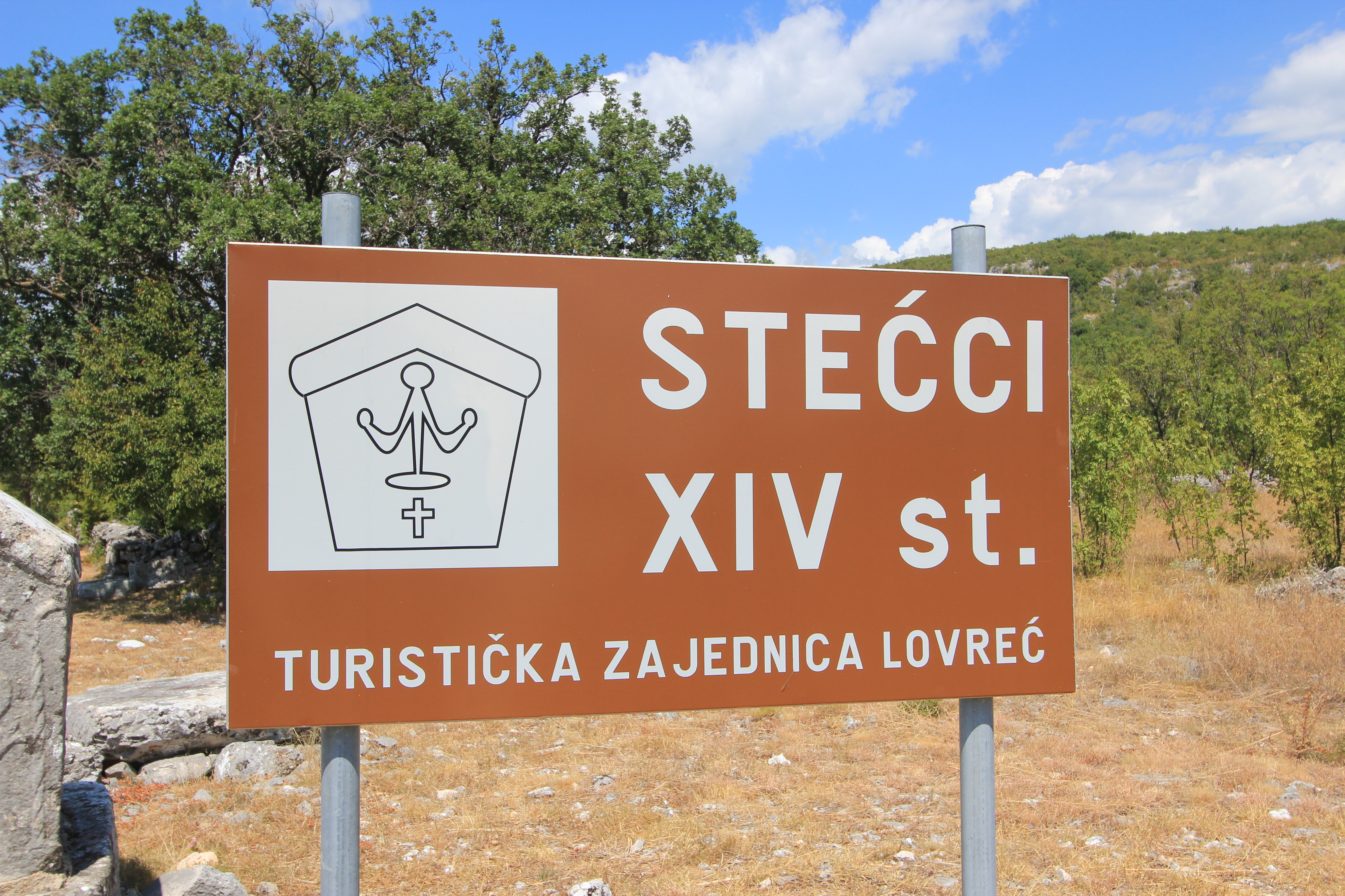
Our day continued with a drive on through Kostanje, crossing the valley over the Cetina on the old Pavica Most, and on to Zadvarje.  From here we headed inland to visit the famous sinkholes at Imotski, and returned via a stop at the stecći near Lovrec.

By the early evening we were back in Omiš where we retraced our steps through the now much busier streets to the Utvrda Peovica (Mirabela Fortress).  This time it was open to visitors.

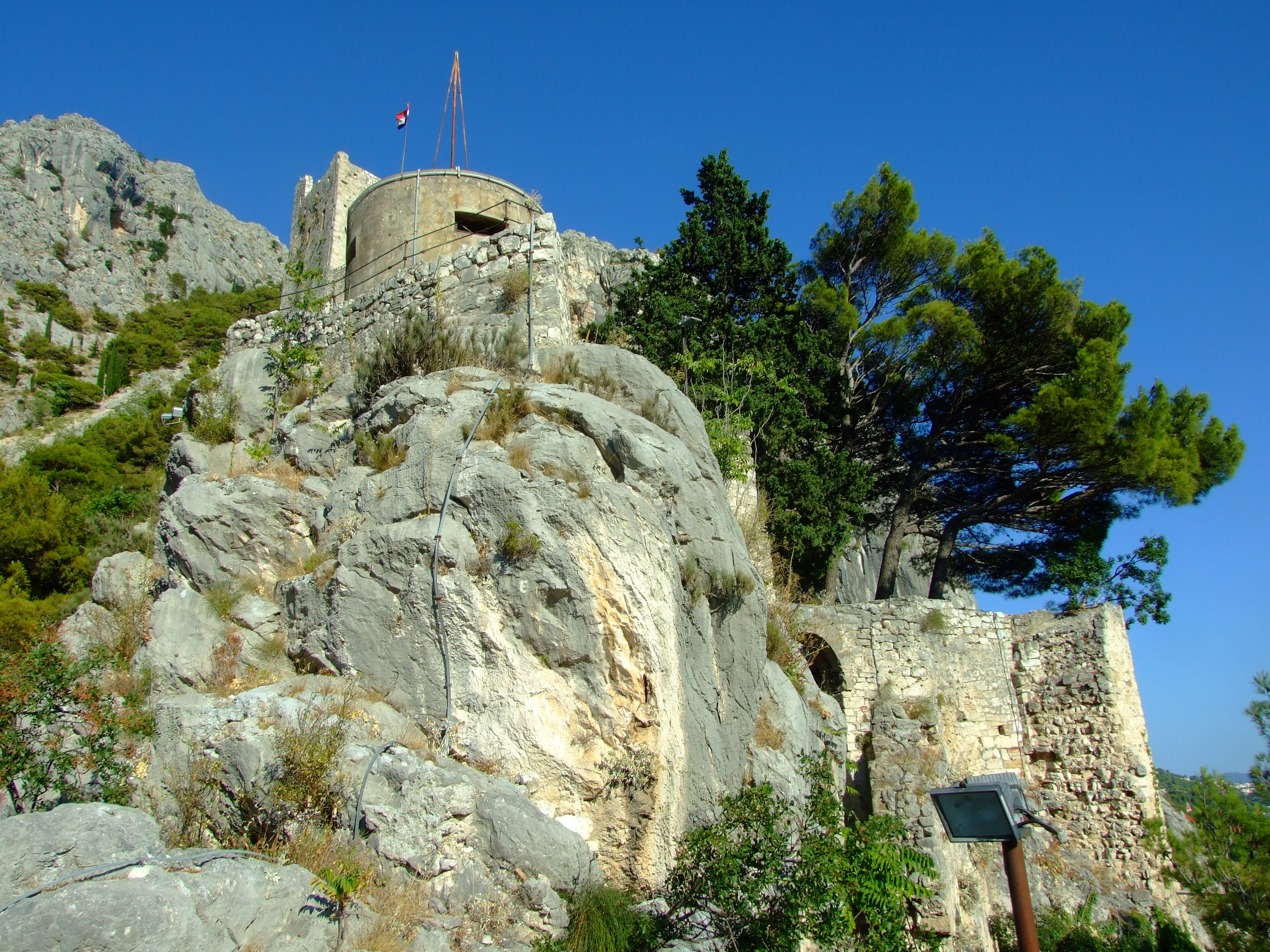
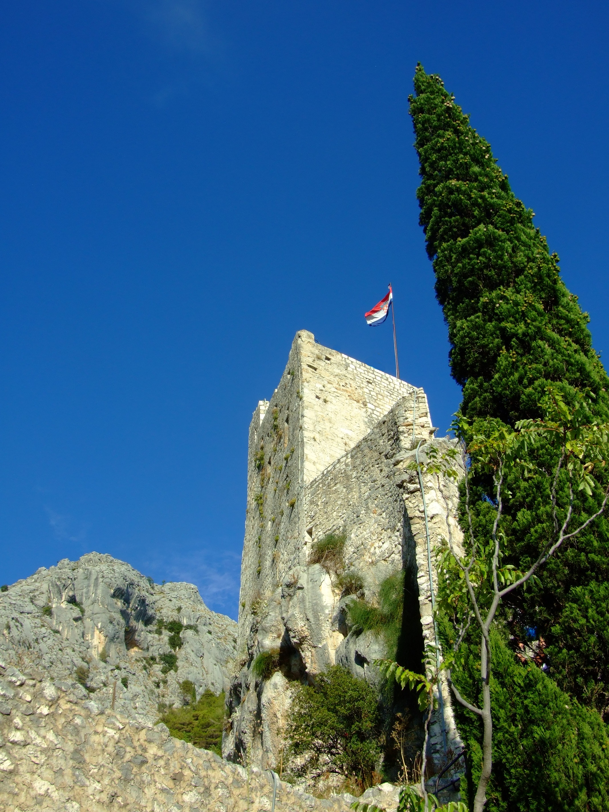
Looking up at the Utvrda Peovica/Mirabela Fortress from its lower levels.

It is believed that work on this redoubt was started early in the 13th century during the period when Omiš was ruled by the Kačić family who are perhaps best known for their tenure during the period when the famed Omiš pirates used the tower as a lookout for passing prey.  Built on six tumbling tiers, the Venetians expanded and refortified the structures after taking over in 1444.

The view looking north-west over the Cetina River from the lower levels of the Utvrda Peovica/Mirabela Fortress.
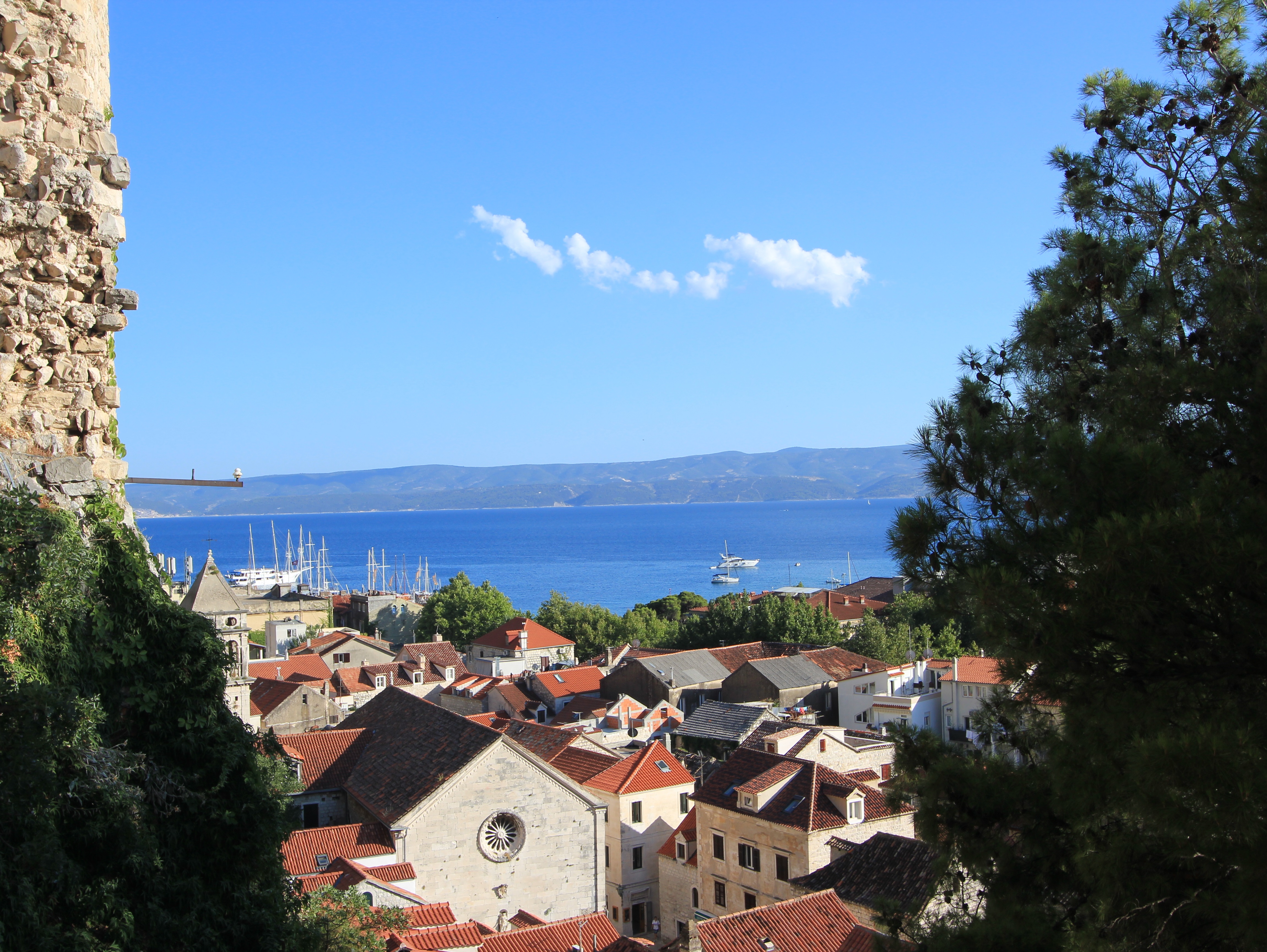
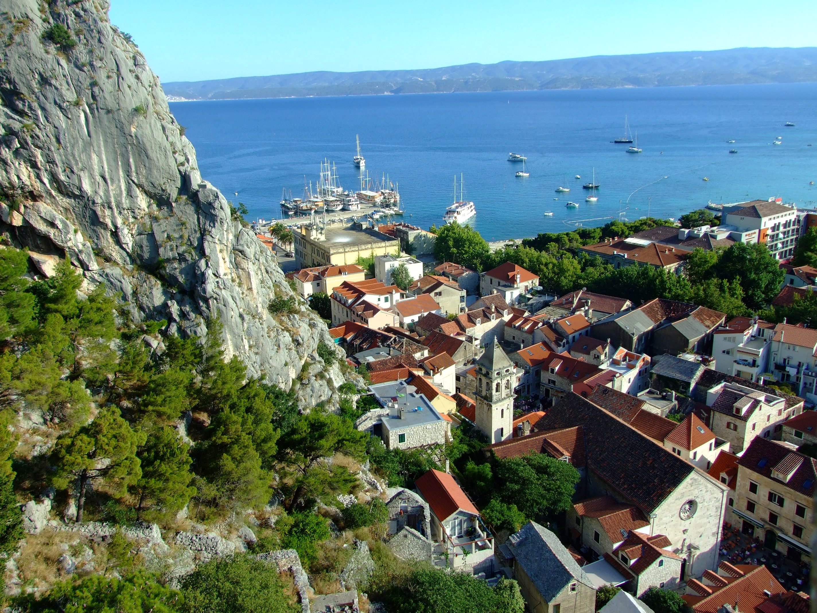
The view looking south over Omiš old town from the lower levels of the Utvrda Peovica/Mirabela Fortress.
Still looking south over Omiš old town from slightly higher levels of the Utvrda PeovicaMirabela Fortress.

Because of the acoustic dynamics of the Mirabella’s location sound can be amplified without being directionally attributable.  This strange feature was used to advantage by defenders facing an Ottoman attack in 1537.  Shouting loudly, a relatively small number of soldiers were able to convince the invaders that the town contained a large force in wait for them, and, according to legend, the Ottoman troops promptly retreated.

The Romanesque upper castle consists of four floors reached by an internal staircases with a final exit achieved by climbing a short ladder to the open top some 245m (804 ft) above the town. The castle tower you can see today is a comparatively recent restoration, albeit crafted in its original form with its original stones by the local population after it was destroyed by a lightning strike in 1988.
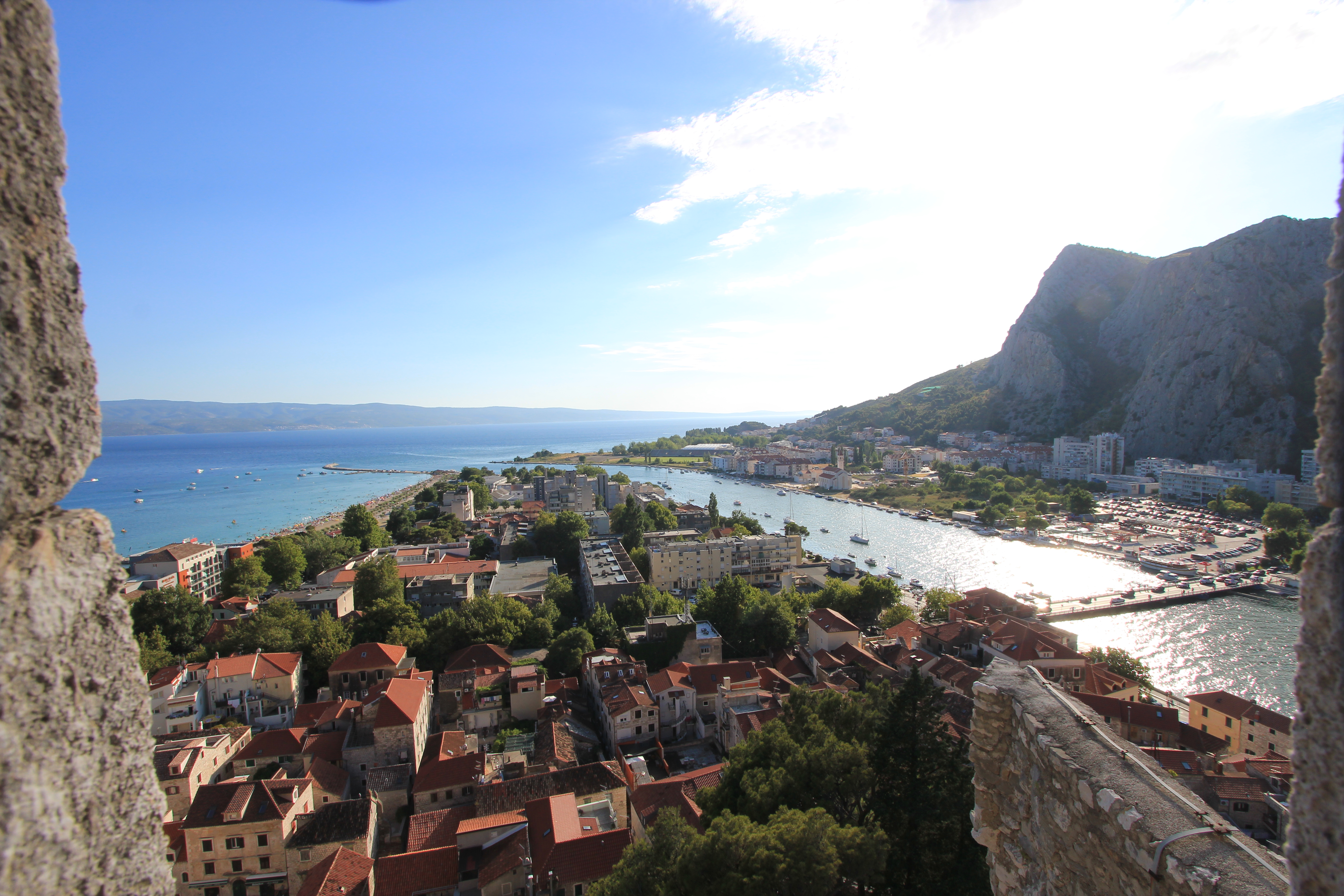
The view looking south-west from the upper levels of the Utvrda Peovica/Mirabela Fortress. To the right is the outflow of the Cetina River and the main road bridge. To the left is the 700m south-east facing stretch of sand called Velika Plaza (Big Beach).

As we were on a road trip vacation tour we only spent a couple of nights and one full day in the Omiš area.  The mid-summer heat was, to say the least, a limiting factor on our exploration of the town and wider region, but I don’t regret that we made the small effort to visit the Mila Gojsalić memorial statue and the Mirabela.  If I were to return with anyone who hadn’t seen these views I wouldn’t hesitate to take them there, and I think that, with more appropriate weather conditions, I would easily be able to spend a minimum of a couple more days exploring the area out on foot.

There is one final consideration that would almost certainly get me to spend a night in Omiš if travelling down the Dalmatian coast.  Its name is the Konoba Joskan.  On the night of our arrival in Omiš we quickly confirmed that many of the choices for eating out in the centre of the old town, and the vicinity of our accommodation, involved a ‘public dining’ experience.

The Konoba Joskan is located up an opening on the north side of Knezova Kačića, and if at first you manage to miss the entrance to this restaurant just keep looking (or asking) until you find it.  Previous vacation research and the idea of a small enclosed and more intimate konoba courtyard had already caught our attention, but we were unprepared for just how good this place would be.
Given that it was the height of the tourist season, we were lucky enough to be reasonably early and get a table in the courtyard (there’s also an inside air conditioned dining area), but that said, we noticed that the lovely staff bent over backwards to fit in later arrivals without a reservation.

The simple two-page menu suggested ‘fresh daily’ (which was confirmed when the day’s fish options were explained), and my wife and I both opted for a fillet steak with sliced fried potatoes and a shared tomato salad in oil and balsamic vinegar, with a couple of beers. It was the best meal we had eaten in Croatia to date.  In fact, it was so good that we went back the next night, after our sight-seeing tour, when we ordered exactly the same meal. It was just as good the second time round, and therefore qualified it as one of the two best meals we had in Croatia.

More online information.

To get a first visual impression of the area from a number of different locations there is an excellent 360° interactive viewer on the Visit Omiš website (available in Croatian, Czech, English, German, Polish and Slovenian).

For the history of Poljica take a look at “The Principality of Poljica From its Medieval Inception to its Fall in 1807” by Edo Pivčević.

The history page from the village of Sitno website provides another brief introduction, as does cuvalo.net which adds a legal commentary and translation of the Poljica Statutes.

There’s also “Split and Poljica – relations through history” by Prof. Mate Kuvačić.  It is in Croatian, but Google translate works reasonably and is worth a read.

Later additions.

Take a look at these views from a beautiful January walk by BBQboy in January 2017.

The Lighthouse Loop of Ucluelet’s Wild Pacific Trail

It was just after 08:00AM when I slipped on my walking boots and quietly left the cabin where my wife and daughter were still sleeping.  We were staying in Ucluelet (pronounced “You-clew-let”), on Vancouver Island, British Columbia, or ‘Ukee’ as it’s called locally, having arrived the previous day after a relaxed 447 km (278 mi.) journey from Telegraph Cove, driving down Highway 19 (the Island Highway) along Highway 4 (the Alberni Highway), and through to almost the end of the road on the Ucluth Peninsula.
The peninsula lies about a third of the way up the Pacific-facing western coastline of Vancouver Island, SE of the Long Beach Unit of the Pacific Rim National Park Reserve and NW of the Broken Group Islands and West Coast Trail Units of the park.  It’s about 180 km (112 mi.) by road from Nanaimo to Ucluelet, and from Victoria it’s a drive of nearly 300 km (186 mi.).

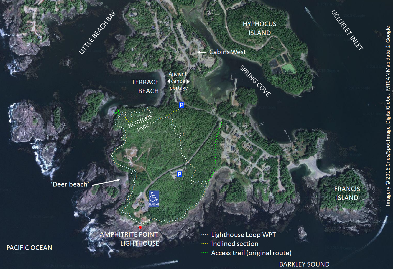
We’d already realised what a great accommodation choice we’d made by booking to stay at Cabins West, but its proximity – only 350m/a 5 minute walk – to my destination that morning was an added bonus.

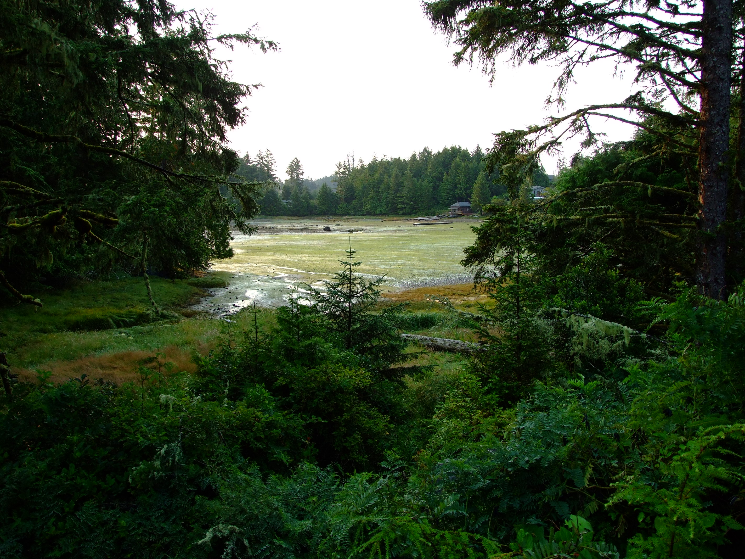
As I left Cabins West I turned right along Boardwalk Boulevard, and left onto Peninsula Road, where, through a narrow gap in the trees to my left, there was a view of Spring Cove.  It is named after Captain William Spring who opened a trading post there in 1869 (after ‘buying’ the land from the indigenous population for a barrel of molasses), although the first European settler in Ucluelet is reported to have built a house here around 9 years earlier.

The Beach House and the Shore Cabin of Birds Bay Retreat in Spring Cove can just be seen beyond the branches of the tall tree in the foreground to the right. Obscured by the branches to the left is the old BC Packers site, which might look like a bit of a metallic eyesore in the landscape, but is worth consideration for its intimate connection to the sad story of the Japanese-Canadian fishermen of Ucluelet and their families.

I crossed to the sidewalk on Peninsula Road and continued SSW down the gentle downhill slope to a point where the land was reduced to a strip of only about 170m (560 ft) width between Terrace Beach and Spring Cove.

Terrace Beach, or “Capacuwis” (‘canoe beach landing’) is in the historical territory of the Yuułuʔiłʔatḥ (Yuu-thlu-ilth-aht) First Nation i.e. the Ucluelet First Nation (UFN), who are a part of the 13 member Nuučaan̓uł (Nuu-chah-nulth) First Nations with lands that spread along c.300km of the western Vancouver Island coast from Brooks Peninsula in the north to Point-no-Point in the south.

If you walk along this passage try to imagine that there is no road, and picture First Nations people hauling their canoes from the water to portage between the open sea and the protected cove in an area for which there is archaeological evidence that they have lived for over 4500 years. The name Ucluelet is derived from the Nuu-chah-nulth phrase meaning “safe harbour” or “safe landing place”.

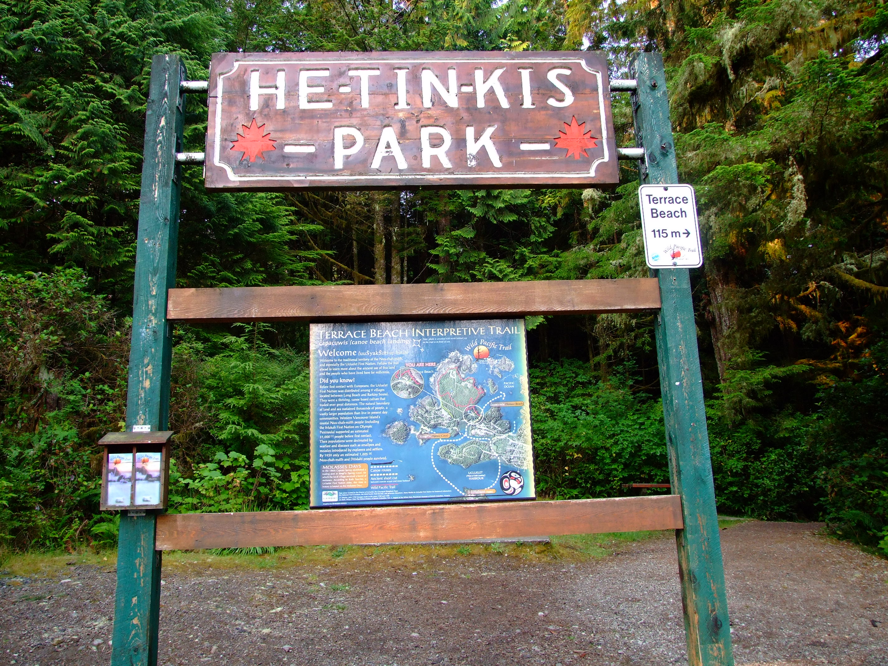
Immediately after passing the Terrace Beach Resort on my right I reached the entrance to He-Tin-Kis (which roughly translates as ‘by the sea’) Park, and the start point of my walk along the Lighthouse Loop of the Wild Pacific Trail.

The He-Tin-Kis Park Terrace Beach project was created in 1971 with boardwalk trails around the wooded slopes forming the southern flank of Terrace Beach. The map panel, which may have been subsequently replaced, was for the Terrace Beach Interpretative Trail (to the right) and noted as follows:

“Before first contact with Europeans, the Ucluelet First Nation was distributed among 9 villages located between Long Beach and Barkley Sound.  They were a thriving, canoe based culture that traded over great distances.  The natural boundary of land and sea sustained thousands of people, a vastly larger population than live in present day communities.  Western Vancouver Island’s Nuu-chah-nulth people [including the Makah First Nation on Olympic Peninsula] supported an estimated 31,000 people before first contact.  Then populations were decimated by warfare and diseases such as smallpox and measles introduced by explorers and settlers.  By 1939 only and estimated 1,605 Nuu-chah-nulth and Ditidaht people survived.”

There was another sign providing some extra details about my chosen route to the left, but a third notice also caught my attention…

It would be another three years before I would have to change my direction of travel on a morning walk due to the proximity of a Black Bear [http://www.geog.uvic.ca/viwilds/iw-bear.html], but having seen one moving at speed across the road and into the scrub during our approach to Ucluelet on Highway 4 the previous day, the reinforced reality of their local presence was enough to remind me of the potential danger.
It would be another three years before I would have to change my direction of travel on a morning walk due to the proximity of a Black Bear (Ursus amaericanus vancouveri), but having seen one moving at speed across the road and into the scrub during our approach to Ucluelet on Highway 4 the previous day, the reinforced reality of their local presence was enough to remind me of the potential danger.
Coming from a country where the last wild bears were exterminated around 1,500 years ago, the prospect of turning a corner and meeting one added to the sense of being somewhere special.  If, like me, you’re not used to bear country you might want to read the .PDF brochure here before you travel.  It’s also worth taking a look at the advice from the same page on cougars and wolves, especially if walking your dog in the area. If you think it couldn’t happen to you, take a look at these Ucluelet news stories from January and July 2015.

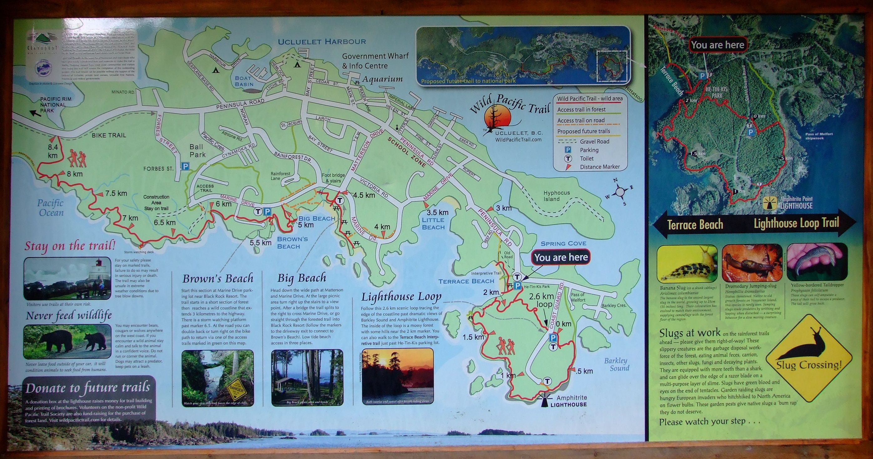
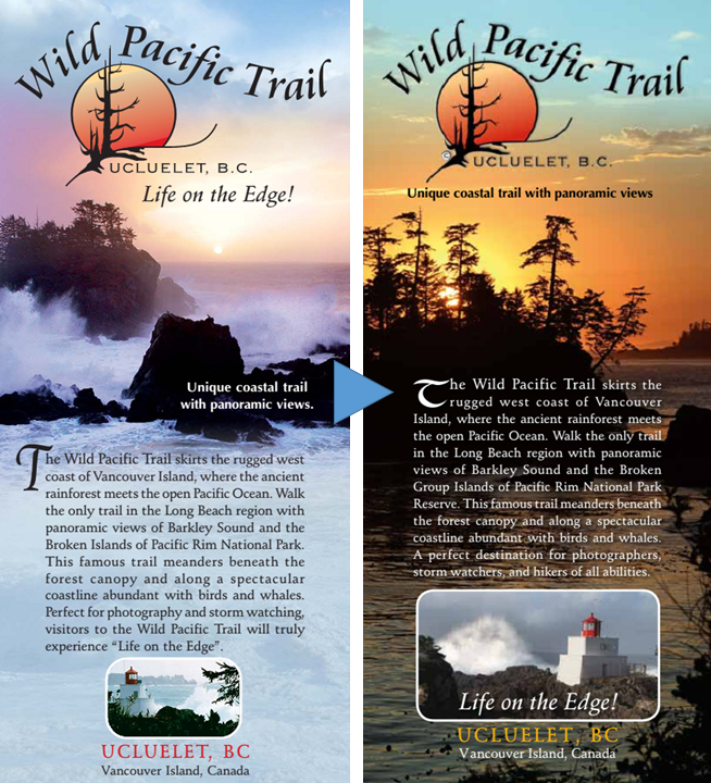
Before starting up the Lighthouse Loop I picked up a copy of the then current 2008 printed map of the Wild Pacific Trail (left above), which is still available online here, but development has been rapid, and I don’t expect that it will be long before the 2013 edition (right above) is upgraded too. You can get the most recent map from the online Wild Pacific Trail website, and there are more links for further information about the trail at the end of the post.
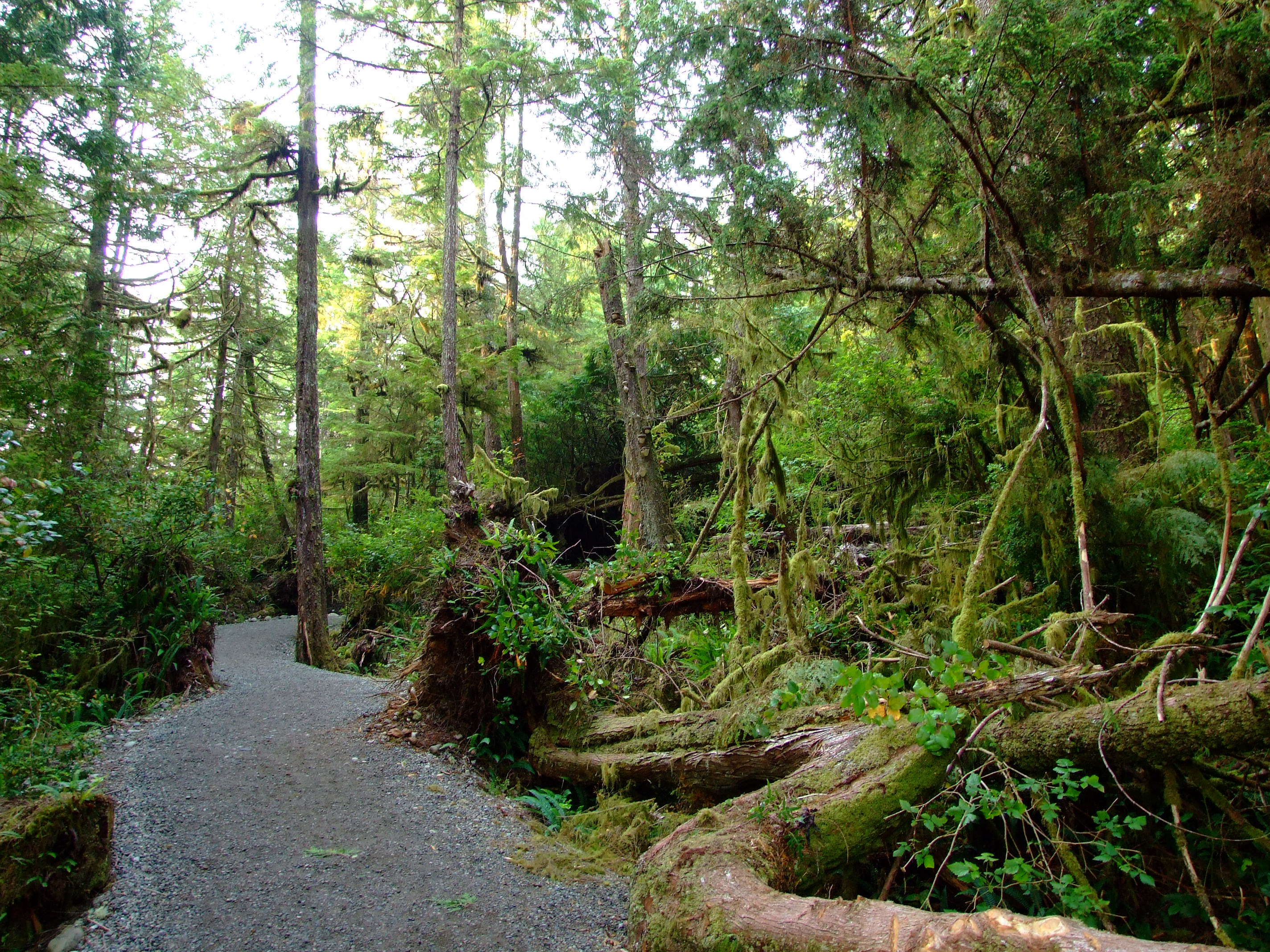
Heading up the hardcore-surfaced trail which replaced the older boardwalk in this section of He-Tin-Kis Park in 2009.

The Lighthouse Loop was the first section of the Wild Pacific Trail to be built, opening in 1999 at a time when it served as an important reminder of the fragility of the Pacific temperate rainforest eco-region and the effects of old growth deforestation on Vancouver Island. The trees along the trail are mainly Sitka Spruce (Picea sitchensis), Western Red Cedar (Thuja plicata) and Hemlock (Conium maculatum) with characteristic drapings of moss, interspersed with ferns and various berry bushes.

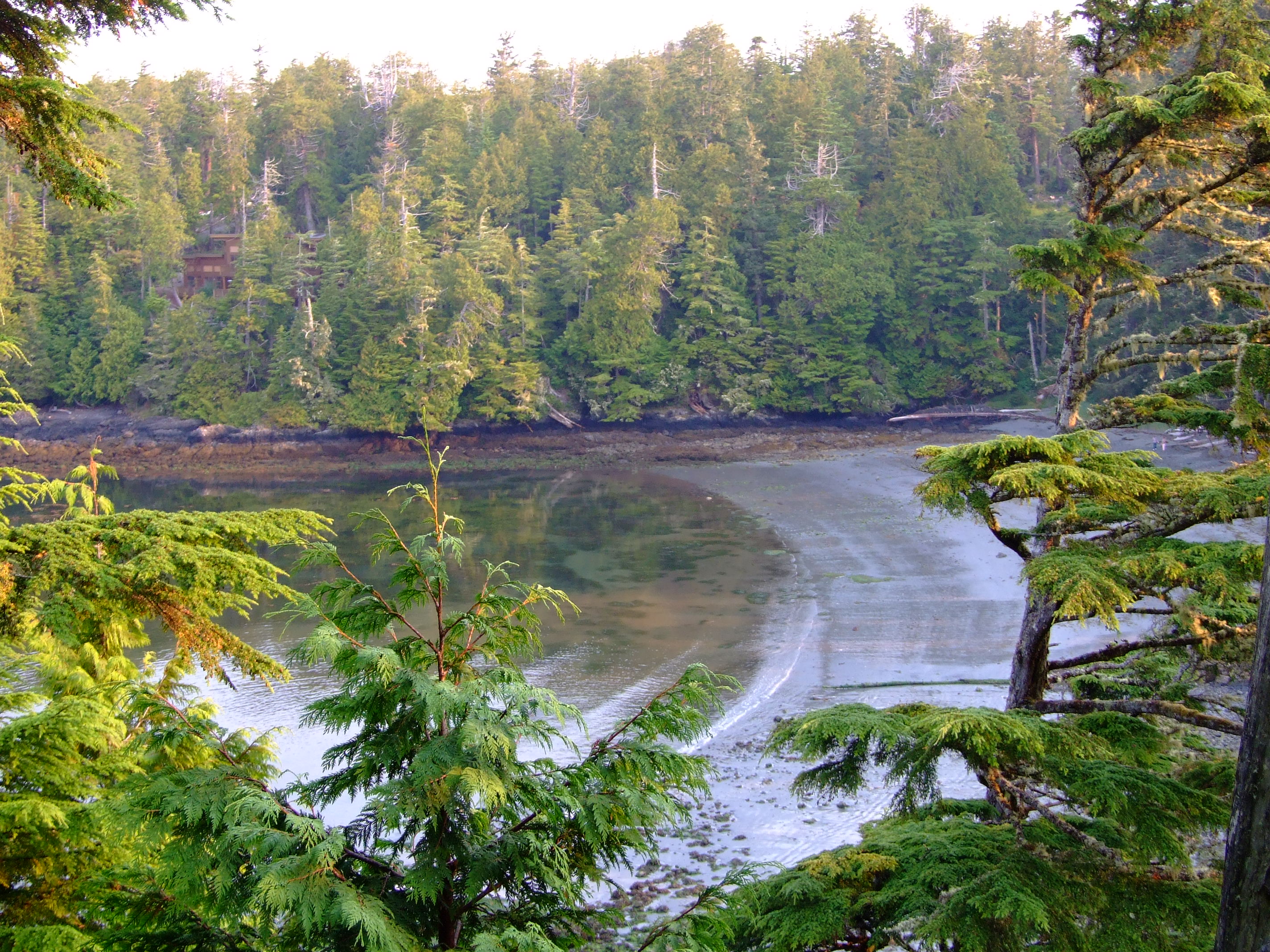
As the path gently climbed, Terrace Beach was revealed in the morning sun to my right.
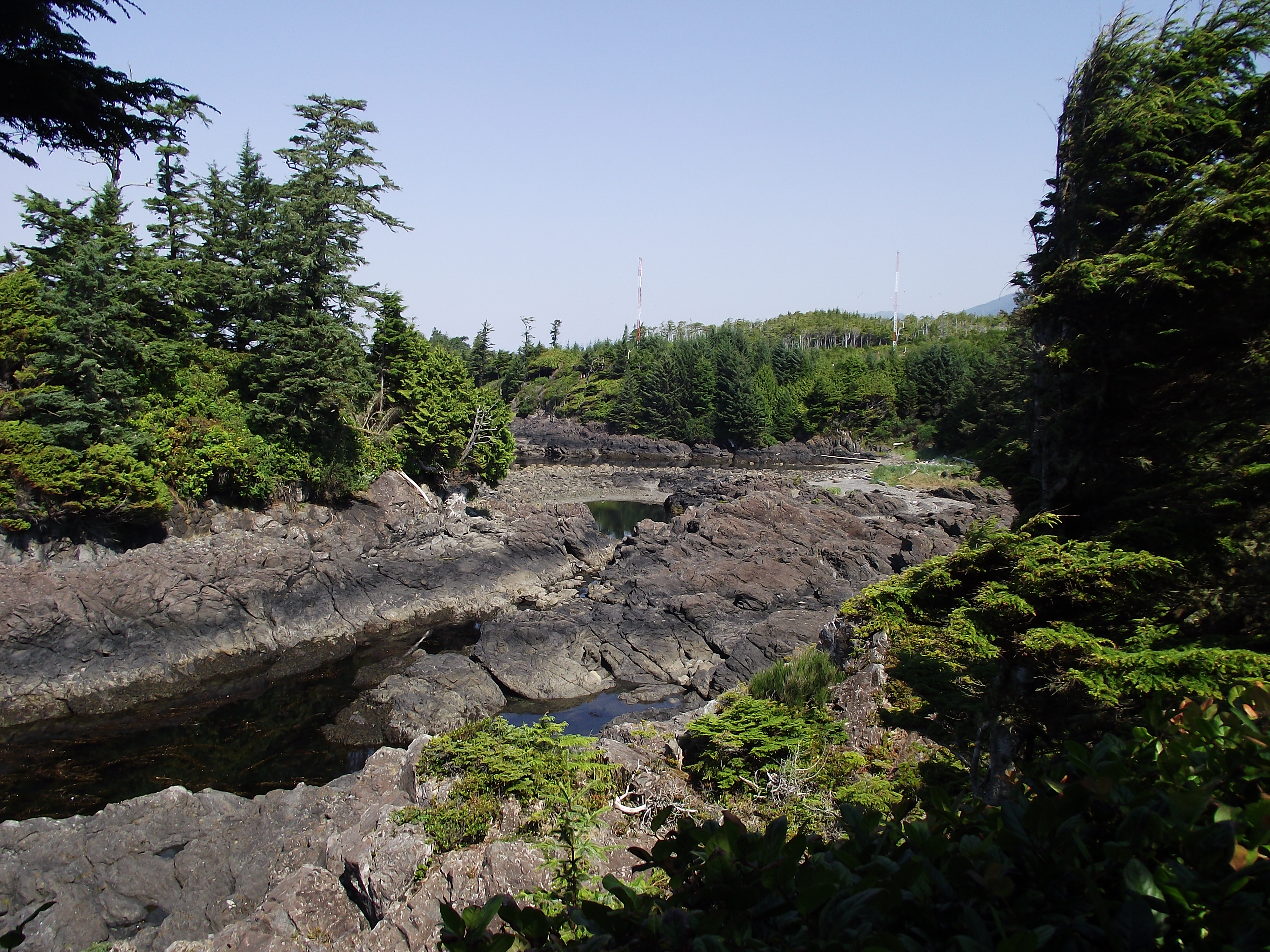
As I approached the most westerly point of the Lighthouse Loop there was a view down to a small spit below, and, looking NW, beyond the entrance to the cove containing Terrace Beach on my right, the shore and buildings on the SE side of Marine Drive near Little Beach.
Turning south to follow the western edge of the Lighthouse Loop a number of the trees demonstrated what it sometimes takes to survive the Pacific storms which they face on nature’s front line. The nutrient laden atmosphere which delivers such fecundity to the rainforest can also be the bearer of a ferocity that makes this trail a major attraction to storm watchers, but on this mid-August morning the sea was calm and there were surprisingly few other people on the path.
As I continued walking the canopy was more intermittent along this outer section, enabling me to enjoy the fresh sea air with the sun on my back and a view out across the expanse of the Pacific Ocean.
Descending to the waterside I realised the tide was ebbing.
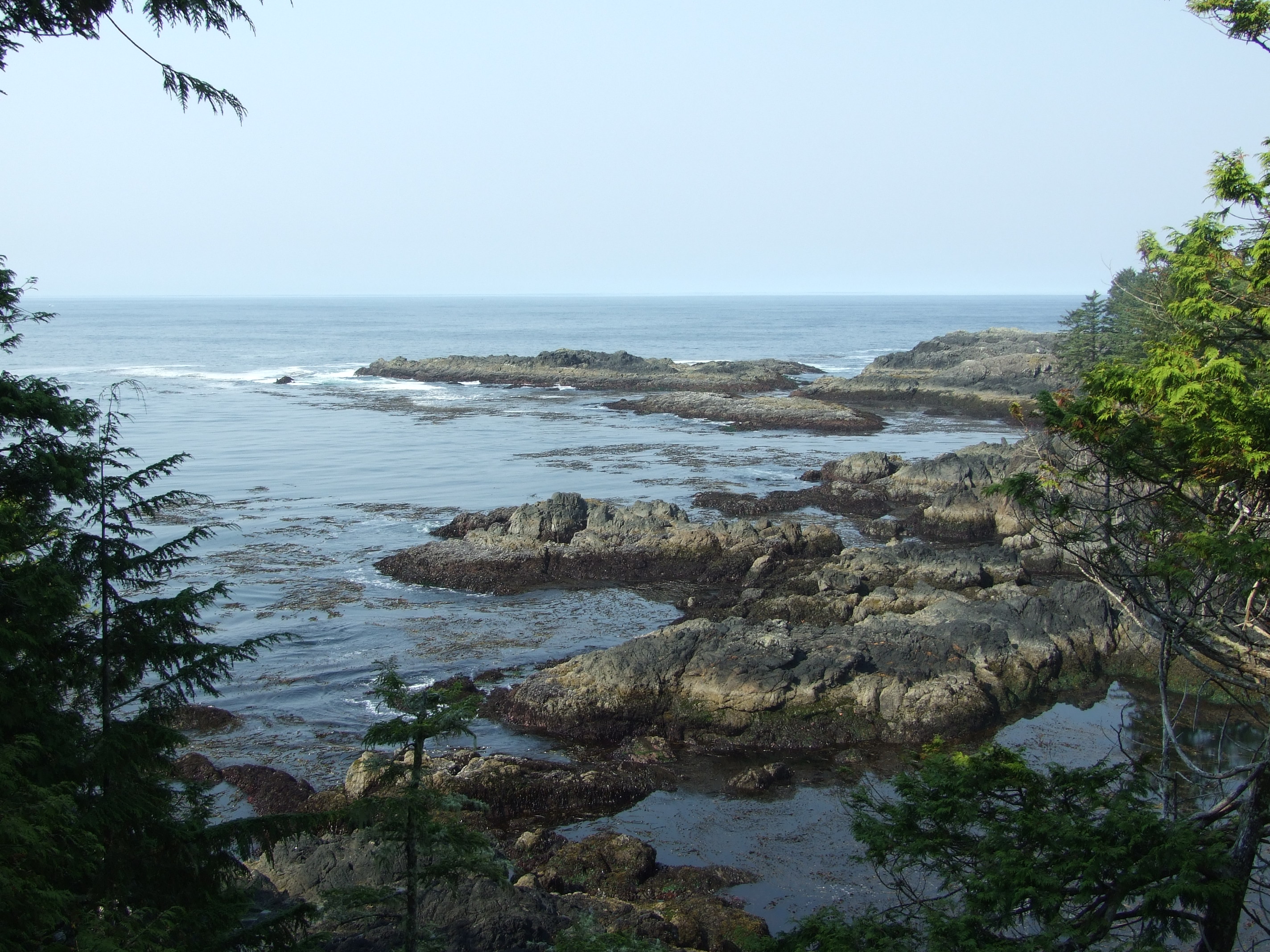
Log littered inlets filled rocky pools inviting further inspection. If you’re here in May keep an eye on the sea as 22,000 Pacific Grey Whales (Eschrichtius robustus) migrate past along the coast at this time. In summer months Orca’s [http://www.geog.uvic.ca/viwilds/iw-orca.html] (Orcinus orca) can be seen closer to the shore.
Log littered inlets filled rocky pools inviting further inspection. If you’re here in May keep an eye on the sea as 22,000 Pacific Grey Whales (Eschrichtius robustus) migrate past along the coast at this time. In summer months Orca’s (Orcinus orca) can be seen closer to the shore.
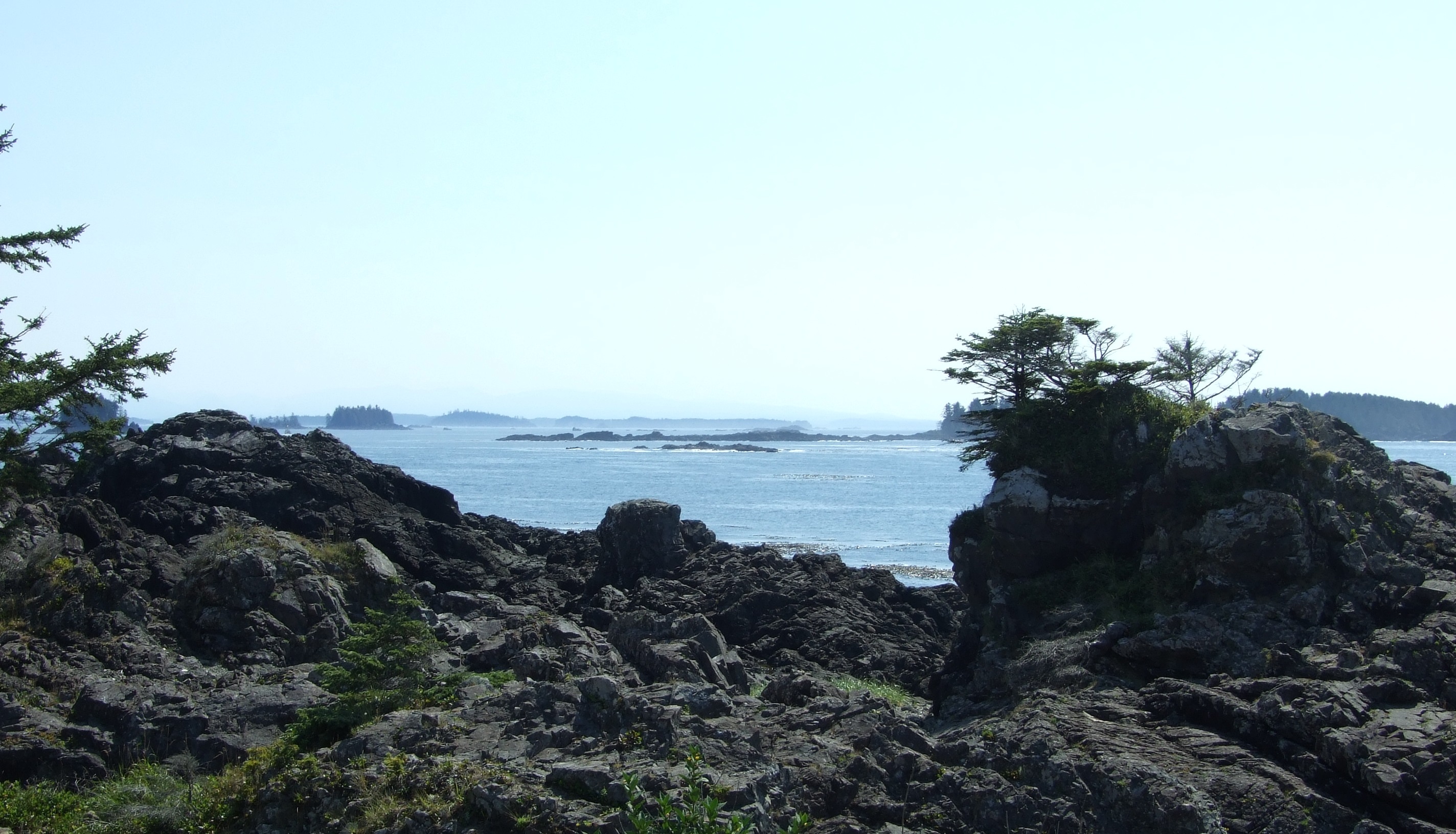
The view to the SE of Amphitrite Point Lighthouse and beyond to the George Fraser Islands at the western edge of Barkley Sound.
As I walked on towards the lighthouse I was early enough and lucky enough to come across a prime specimen of the Banana Slug (Ariolimax columbianis) crossing the trail. The second largest slug in the world, it plays an important role in cleaning up the detritus of the rainforest.
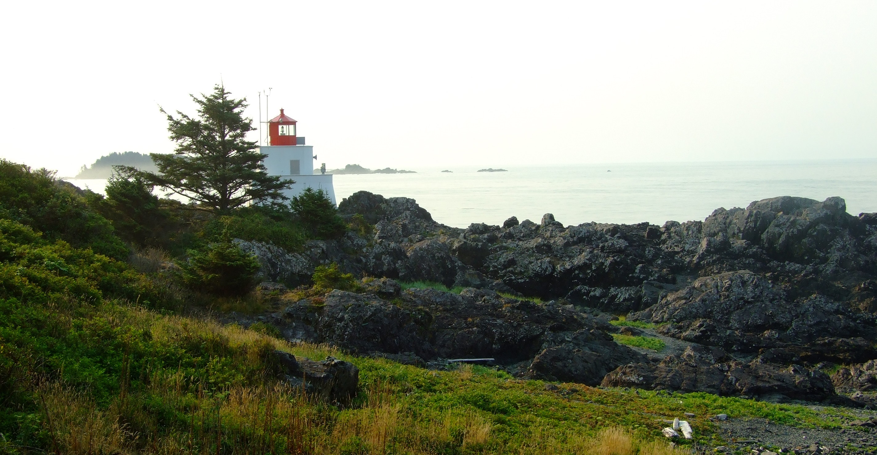
The 1915 Amphitrite Point Lighthouse. For a detailed account of why and how it was built, and the keepers that have looked after it, visit LighthouseFriends.com.
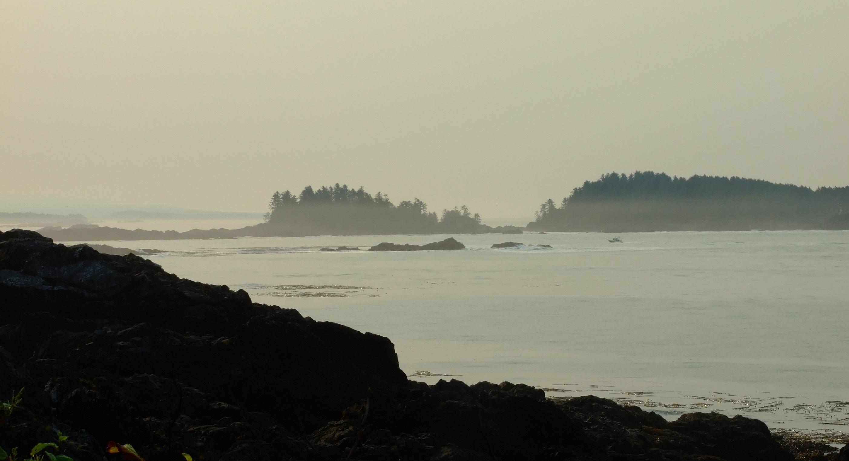
It was still a little misty as I looked out over Barkley Sound and the Graveyard of the Pacific, but the sun was starting to burn it off.

From here I headed a little further along the coastal path and then cut back along the interior forest trail, returning to Cabins West around an hour after setting out.  With everyone now out of bed it was time to do it again, but I had a feeling that this time round the Lighthouse Loop might take a little longer.

By 10:30AM the view towards Little Beach was much brighter than it had been just a couple of hours previously. However, early morning and late evening are the best times to watch for Sea Otters here. Hunted almost to extinction for their fur along the Canadian coast, Sea Otters were absent from Vancouver Island until 1969 when a reintroduction programme began. It has been remarkably successful. The year after our visit the first returning Sea Otter raft in Ucluelet was spotted during the Spring of 2011 in Little Beach’s bay; it comprised 50-70 individuals. Once again, it would be 3 years before we got to see Sea Otters in the wild.
By 10:30AM the view towards Little Beach was much brighter than it had been just a couple of hours previously. However, early morning and late evening are the best times to watch for Sea Otters (Enhydra lutris) here. Hunted almost to extinction for their fur along the Canadian coast, Sea Otters were absent from Vancouver Island until 1969 when a reintroduction programme began. It has been remarkably successful. The year after our visit the first returning Sea Otter raft in Ucluelet was spotted during the Spring of 2011 in Little Beach’s bay; it comprised 50-70 individuals. Once again, it would be 3 years before we got to see Sea Otters in the wild.
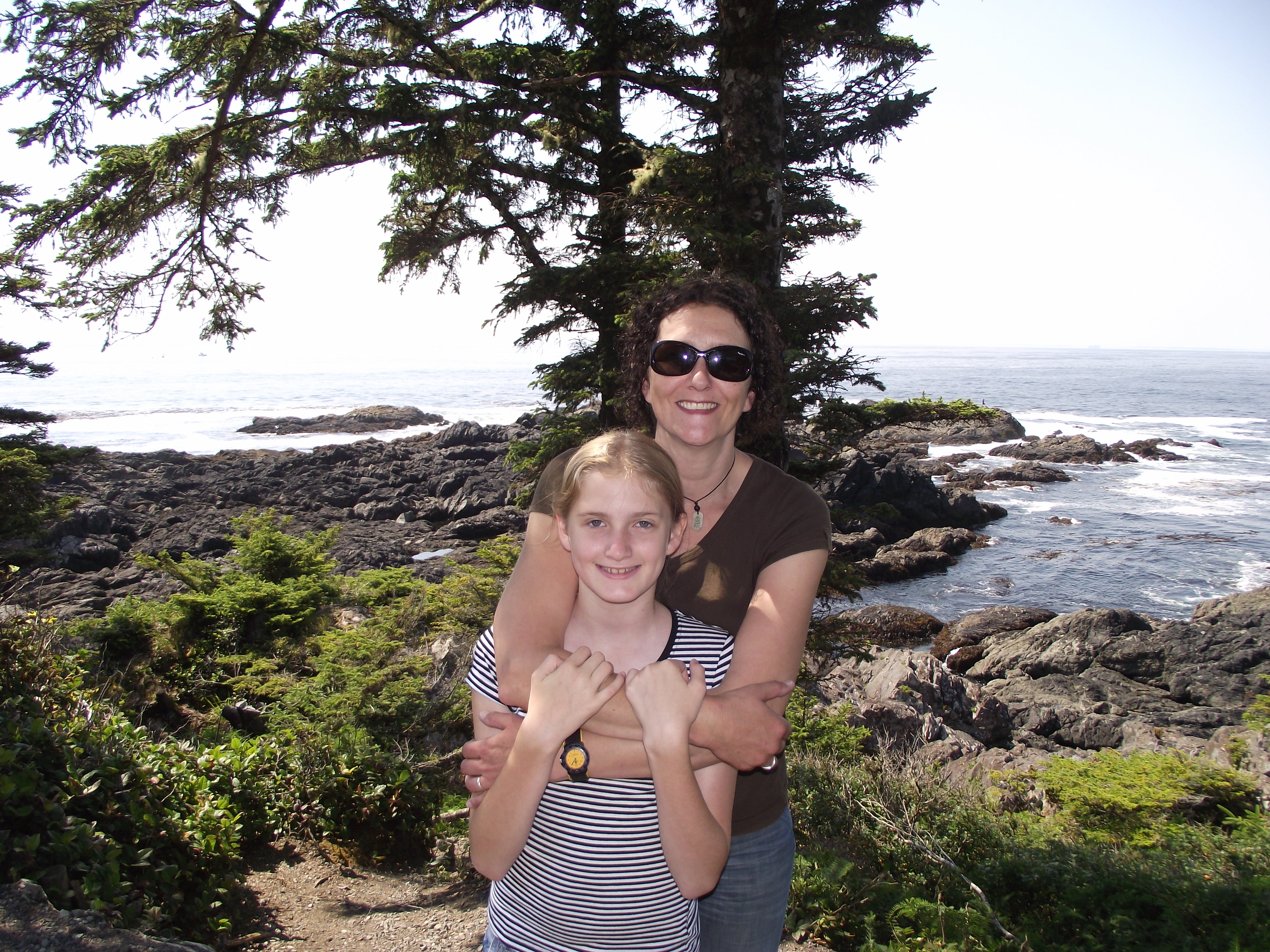
The view at the edge of the Pacific was no less impressive on the second time round, but it was better for sharing the experience.

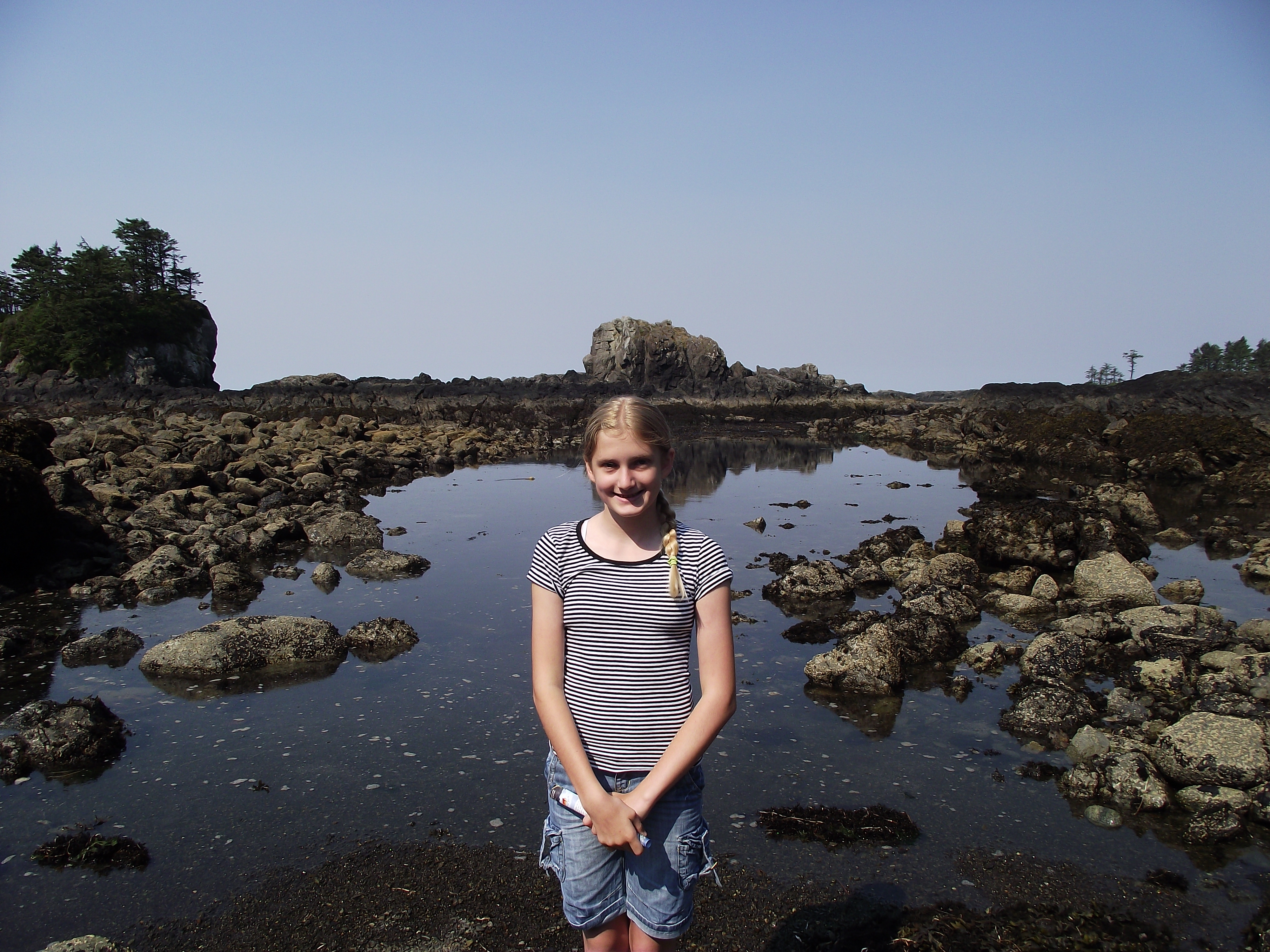
It didn’t take long before we found ourselves down at the exposed rocks and pools of the intertidal zone, which, amazingly, we had all to ourselves. Well almost, but it wasn’t other people that would later join us.

If you don’t know too much about the seashore in this region, download a copy of Parks Canada’s “Exploring The Seashore” brochure.

At low tide levels like this there is a huge expanse to explore more of the rich biodiversity of this region.
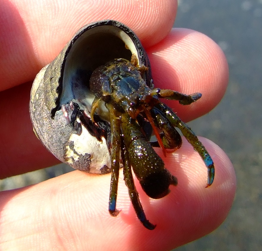
The Blueband Hermit Crab (Pagurus samuelis) is the most common type of hermit crab on the western coast of North America, with Vancouver Island being the northernmost point of its distribution.
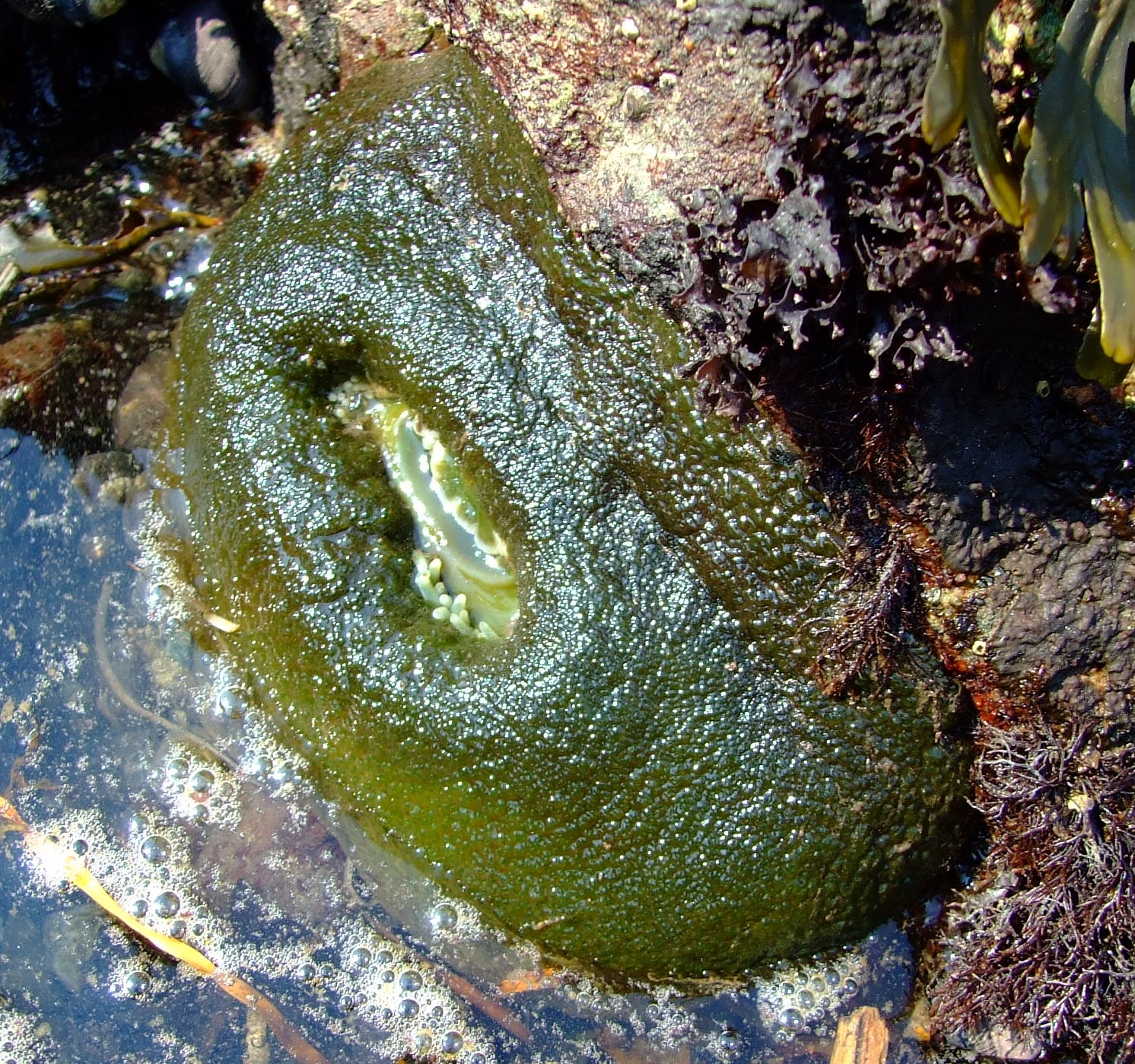
A retracted Giant Green Anemone (Anthopleura xanthogrammica). You can just see the tips of its tentacles waiting for the sea to return, when this venomous carnivore would look like this…

Source: By pfly [CC BY-SA 2.0 (http://creativecommons.org/licenses/by-sa/2.0)], via Wikimedia Commons.
We spent nearly an hour on the ‘beach’, and on the day of our visit we’d been lucky enough to hit a pretty low tide at the right time.  The tide had turned at about 09:30AM, but didn’t reach its full height until 15:45PM, at which point the area we’d walked on was a further 3.11m (10.2”) underwater.  Keeping in mind that this link is for tide times in Ucluelet Harbour (which means there can be some variation with the water levels out on the coast), it’s really worth a little planning to make the most of your visit.

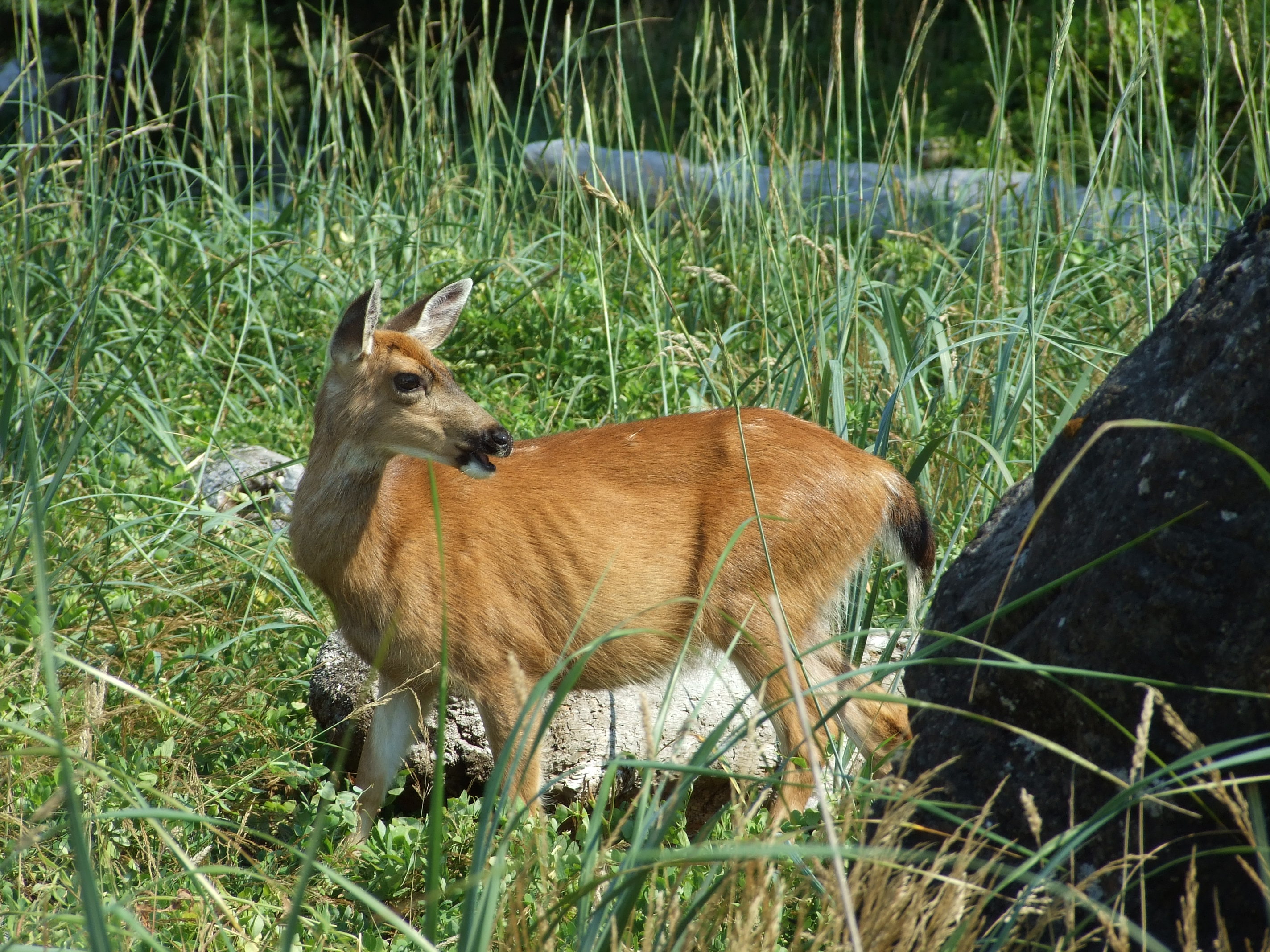
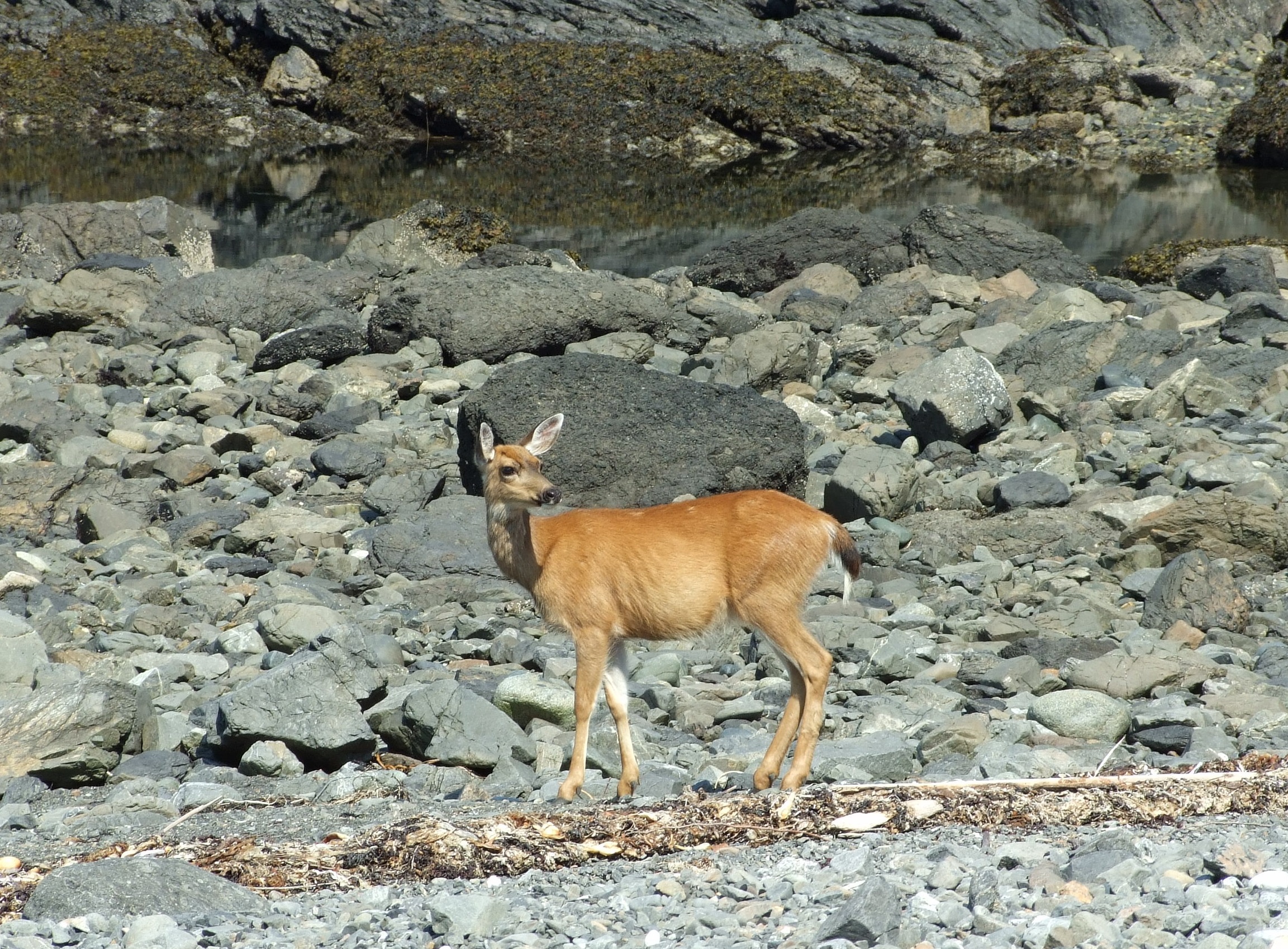
We eventually retreated up the shore (for the shade rather than due to the slowly returning ocean), where, from behind a rock poking above some tall grass, a female Columbian Black-tailed Deer (Odocoileus hemionus columbianus) suddenly emerged.

She appeared fairly unconcerned by us as she grazed, but we soon spotted that she wasn’t alone…
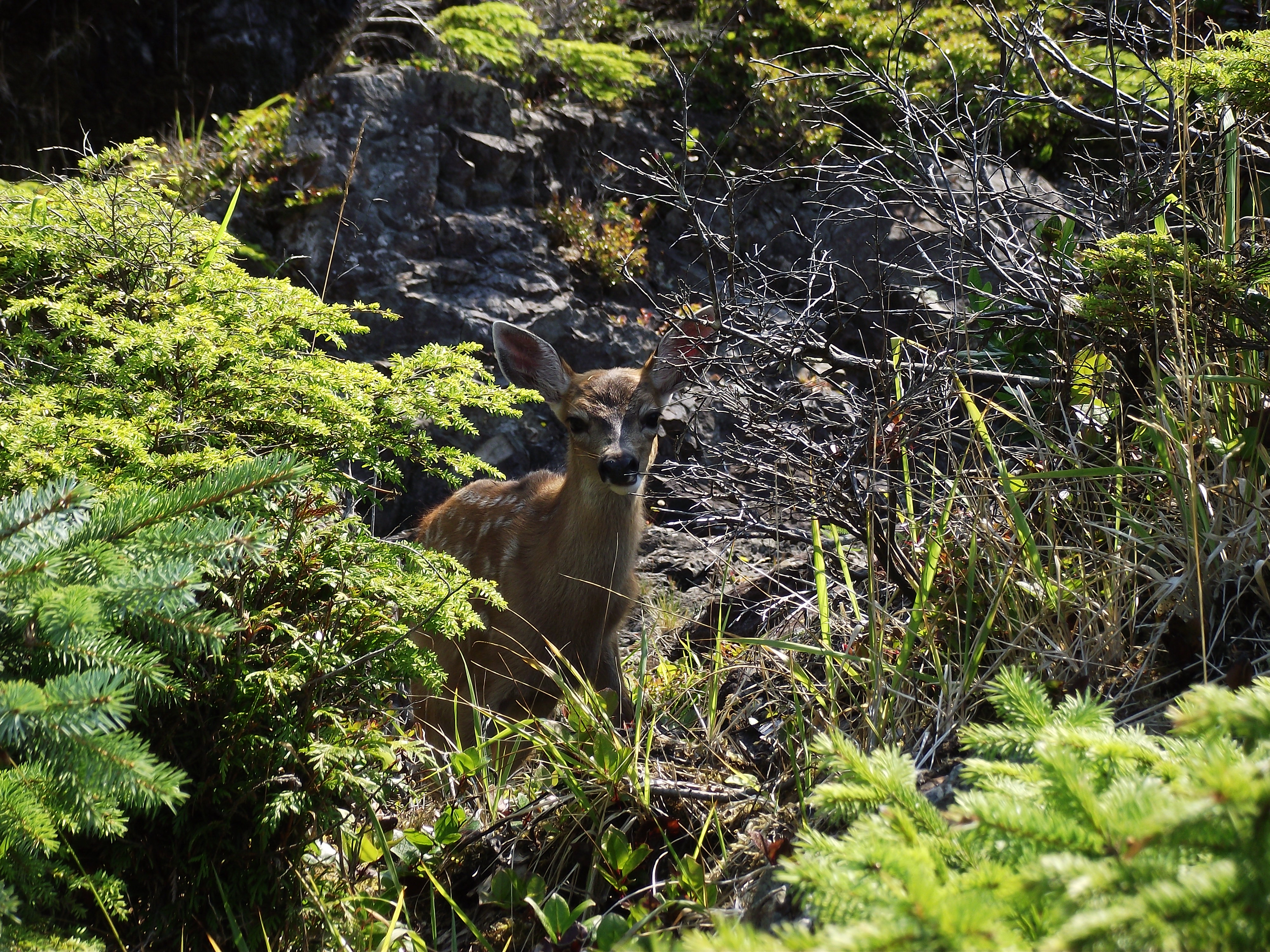
This fawn was probably 10-12 weeks old, as birthing occurs in May and early June.

The fawn was alert to our presence, but as we remained fairly quiet and moved slowly, it followed its mother’s lead and got on with eating choice new growth while ignoring us.

Unlike bears, wild deer are not in short supply in the U.K., and if I want to be assured of seeing them I can always just drive into London.  However, the experience of sitting on a rocky beach on the edge of the Pacific Ocean and watching these Black-tails with my wife and daughter provided a deep sense of calm satisfaction with life.

Moving down to the stony shore the doe made an arc between us and the ocean, and, occasionally pausing and checking back to make sure her fawn was following, headed up towards a tree-crowned tidal islet/spur…
We left any exploration of the trees to the deer, who, as creatures of habit, hopefully already knew it to be a good place of refuge and sustenance.
We ascended the track from the shore to the trail path, and were rewarded with another fine panorama of this magnificent coast.
As we walked on we realised just how well protected (and trapped) the deer would be as the tide came in. We also noticed two of the four Coast Guard masts located on the Amphitrite peninsula, and, if you look carefully, that there were now other people enjoying a midday walk around the Wild Pacific Trail.
The Lighthouse Loop of the Wild Pacific Trail provided many fine views and photo opportunities without the need to go rock hopping (or climbing off-path through the forested sections which can hide many deep crevices beneath rotting trunks and vegetation). A c.3m fall from the path cost one visitor a dislocated arm and the need to be extricated by the Ucluelet Volunteer Fire Brigade in October 2015.
Having passed the Amphitrite Lighthouse, our final views of the Pacific from the trail were of some of the hundreds of islands in the 800 km2 (309 mi2) area of Barkley Sound, none of which is bigger than 2 km (1.24 mi.) across.

Once again (at least for me), the Wild Pacific Trail then led back across the centre of the forest, and it didn’t take long before we arrived back at Cabins West.

Lighthouse Loop Wild Pacific Trail

Although it’s now over 5 years since our visit, the morning we spent on the Lighthouse Loop of the Wild Pacific Trail remains as one of those moments when the world raises its game several notches, and you wonder where on earth you will find a challenge to meet such perfection.

I hope that the way that the Wild Pacific Trail has been considerably extended and developed in the intervening period means that we need have little fear of ‘previous comparison disappointment’; a return to Ucluelet is high on my quite short list of ‘really need to get back there ASAP’ places.

If you’re looking for an easily accessible view of “Life On The Edge”, the Lighthouse Loop of the Wild Pacific Trail might be just where you should be heading to.

More online information.

Start with the comprehensive Wild Pacific Trail official website, and spend some time going through all of its pages before you decide what you want to see and have the time to enjoy most.

Before your visit, keep an eye on the latest reports from the Tofino Ucluelet Westerly News.  In August 2015 they reported on the community’s capital injection plans for the Wild Pacific Trail, and in November 2015 they followed up with an article on the “nine new viewing points and a viewing deck on the Lighthouse Loop”.

You can also keep up to date with Wild Pacific Trail news by logging on to their Facebook page.

There’s also a quite good background article on the Wild Pacific Trail here.

The information source for the Terrace Beach Interpretative Trail sign First Nation population estimates is here.

When Steller Air saved the day – Coastal Brown Bear viewing in the Lake Clark National Park, Alaska

It was the 10th August 2013, and we’d almost reached the end of the road when we arrived in the ‘Halibut fishing capital of the world’.  If, like us, you’re not into sea fishing, that might not sound like the most attractive destination advertisement, but I don’t mean it to sound like we’d had enough of the 49th state when we drove into Homer, Alaska. We were literally just about to run out of highway (and on the way there had passed by “North America’s most westerly highway point” at Anchor Point).

In good weather you should be able to see all the way across Cook Inlet to Mt Iliamna from here. This was the view on our departure day…
…but on our arrival day, and a bit further down the road towards Homer, the volcano was revealed through the clouds and haze of the distance.

After a fantastic couple of preceding weeks in Alaska, we were exactly where we wanted to be as we drove down the Sterling Highway (Alaska Route 1, or AK1) and onto Homer Spit (which, with the longest section of road jutting out into an ocean in the world, gives you an extra 10 minutes of driving if you’re so inclined).

We were a mere 4,612 miles (7,422 km) from home as the intercontinental crow flies (and we were clearly tourists in that we were measuring distances in miles first rather than by hours), but we’d travelled considerably further by air and land to get to our final-stay destination of choice in Homer during a three week vacation tour of Alaska in late July to mid-August.

Inspired by our first experience of viewing Brown Bears at Knight Inlet in British Columbia three years earlier, we’d decided to try and end our vacation with a similar highlight, and then have a few days of chilling out with no other trips booked or schedules to meet until it was time to head home.

Back at the start of the previous January we’d booked 3 seats (and by ‘booked’ I mean we’d paid the total amount of $1,950.00* in advance, not a reservation fee with the balance due at a later date or on arrival) with K-Bay Air to fly our family of three out to the Katmai National Park for a bear viewing day trip on the day after our arrival in Homer.  As requested, we’d checked-in at their office on the day of our arrival and had been met with a friendly welcome, and instructions where to meet at Homer airport the following morning at 08:00AM…

*I think we probably got the previous season’s rate as our initial enquiry had been in December 2012, which is worth considering if you plan ahead.

…but things didn’t happen quite as planned.  Alaskan weather is notoriously changeable – and the second half of August was running true to form in that rainfall often increases then – but that all just serves to emphasise the sense that you’re on the edge of a true wilderness.  In Alaska, towns as big as Homer (the name ‘City of Homer’ always makes me smile as it had a population of 5,310 in 2013) don’t really qualify as ‘wilderness’, but you can probably see it from where you’re sitting, and the weather can always bring you back to a healthy sense of your insignificance.

The view over Kachemak Bay late in the afternoon on our arrival day in Homer.

On the morning of our intended departure we rose reasonably early, avoided scented deodorants/perfumes after bathing, dressed in multi layered clothing with hats, gloves and spare socks stowed, and checked each other’s pockets for errant tuna sandwiches.  We then made the 4.3 mile (6.9 km)/9 min. drive through the rain and mist down to Homer airport, where we were told we couldn’t fly yet, and that we should come back in an hour.

We drove back to our accommodation at Wild Rose Cottages, kicked our heels for 40 mins. and drove through the rain and mist down to Homer airport, where we were told we couldn’t fly yet, and that we should come back in an hour.

We drove back to our accommodation, kicked our heels for 40 mins. and drove through the rain and mist down to Homer airport, where we were told we wouldn’t be flying that day, and that we should report to the office on the Spit in an hour for a refund.

I totally get it that safety comes first, and that if the weather says you can’t fly, you can’t fly.  I accept that if there is no availability to re-schedule in the next few days, it would be unfair to shunt other booked passengers.  I really didn’t appreciate the total failure to express even the slightest modicum of regret on behalf of the company, the unwillingness to respond when asked to suggest any other companies who might be able to help out, and to then be presented with a paper cheque refund in US$ which we would be unable to cash until we returned home (even though we’d paid by visa all those months before). However, just because somebody else is having a bad week (and you never know what problems other people might be facing; I later came to understand why there might have been genuine reason in this instance) it doesn’t mean you have to let it affect you, and we suddenly had more important things to do.

You need to have a ‘Plan B’ (and probably a ‘Plan C’) for bear watching in Alaska.  Our plan B consisted of having several days still left in Homer and a list of all the other bear watching flight companies in town.

Our first stop was Emerald Air Services on Lakeshore Drive, where, when we explained our predicament, we were kindly and sympathetically told they had no availability for the period of our stay in Homer.  Maybe another time guys, looks like a great trip.

I have to admit that by now, and having already noticed a sign from another bear viewing flight company advertising availability after our departure date from Alaska, I had started to privately question whether I was going to be able to deliver on our hopes.  A third of a mile further on we turned down Lampert Loop, parked up, and somewhat despondently walked down to the Beluga Lake office of Steller Air, where we were welcomed with smiles from company founder Mark Munro , flight coordinator Olympia Piedra and the rest of the team, and a ‘can do’ attitude that felt like a hug.

Steller Air is a small floatplane charter service based on the 3000 x 600 ft. (914 x 183m) Homer-Beluga Lake Seaplane Base (known by the FAA as the excitingly coded ‘5BL’).  Their website, which is linked above, provides pretty comprehensive information about the services they offer – there’s no point in me copying it all here – and allows direct reservation enquiries.  You’ll have to visit them in person to get a true grasp of their friendliness and the sense of optimism that this operation inspires.

We were offered a flight to Crescent Lake (not to be confused with the Crescent Lake just north of Kenai Lake on the Peninsula or Lake Crescent in Clallam County in the north of Washington State) in the Lake Clark National Park on the 13th for $1,797 for the three of us, which we of course accepted. For the next 36 or so hours we kept a weather eye on the skies.  As we waited through the 12th, we visited the excellent Islands & Oceans Visitor Center of the Alaska Maritime National Wildlife Refuge, ate out at some great places (try the Boardwalk Bakery for breakfast, Maura’s Café for lunch (see below) and either the Fresh Catch Café or Captain Patties Fish House for dinner if you decide to visit Homer), and just relaxed around our rented house. On the afternoon before our intended new flight date the view across Kachemak Bay from the upper balcony of the Kelly House had some sunshine and encouraging streaks of blue in the sky.

The view to the south west over Kachemak Bay from the Kelly House, Homer, Alaska

By the following morning the world was looking a little too grey again.

Looking east across Kachemak Bay from Homer with a none-too-hopeful amount of light in the sky.

We watched the gulls and a family of Trumpeter Swans down on Homer Spit before driving back to Beluga Lake, and had finished our breakfast burritos before we arrived, but remember that you will need to pre-declare your weight and it may be checked.  Take a look at the Stella Air blog for an insight into Alaska floatplane life (and more on what’s available to see and do with Steller). In case it gets deleted in future seasons, I’ve quoted this post for posterity.

 “Truth, Lies and Floatplanes in Homer, Alaska

On a floatplane ride, weights are important. We do a weight and balance of the aircraft to make sure that we are in the limits of a gross weight for a safe take off. Because of this, we ask every passenger their weight, or weigh them in the office. We also weigh a lot of gear. Because our flight coordinators ask a lot of people their weights, and then often have to weigh passengers when they come into the office, they have discovered an interesting fact in the course of loading floatplanes. Contrary to popular opinion, men lie about their weight more than women. Sure, a lady will not like to tell you how much she weighs, but she will discreetly whisper something close to the truth. Men, however, seem to boldly shout out a number that is often 30-40 pounds below their actual weight. Now boys, the girls in the office are working hard to get everyone and their gear to their Alaskan destinations—give them a number close to the truth getting everyone in the air will be a lot easier!”

Having arrived promptly at Steller Air for our safety briefing (and credit card payment), we prepared for departure.  Our aircraft for the day was N77206, a Cessna U206G Stationair floatplane (the red floatplane that features strongly in many Steller publicity images is Mark’s Cessna TU206A). This was the second time in less than 10 days that we’d flown on exactly the same type of aircraft, attesting to the ubiquity of this type of aircraft in Southcentral Alaska, so we were already confident of the machine’s capabilities.

What really put us at ease was the quietly spoken integrity and professionalism of our pilot, Tom Young, but you can read more about this later, and we were just keen to get into the air and out to some bears.  This Cessna 206 configuration has six forward facing seats in rows of two (including the pilot’s seat on the left), so I was seated next to Tom, and my wife and daughter were in the second row. The overhead wings provide for good downward visibility.  If there’s something to see.

As we reached the coast on the far side of Cook Inlet we continued flying north west up the line of the Crescent Valley, where we caught occasional glimpses of the Crescent River below and the jagged Chigmit Mountains to either side and ahead of us.

We reached the confluence of the Lake Fork Crescent River and the North Fork Crescent River (not that we could see it) and swung west in the direction of the lake.  There was a brief two second sighting of the water ahead, and Tom said that he could probably get us down, and that there were less experienced pilots who would definitely go for it, but if we did go down he couldn’t guarantee we’d get out again.  The tone was clear, so this was an easy decision, as we’d signed up to fly with people who know what they’re doing and to respect their advice. We turned back to Homer.

The return flight was a little surreal as we flew back in the narrow space between the cloud above and the fog below:

Strange skies with Steller Air. Well it was for us, as we’re usually way above the cloud level when we fly, but it made for an unusual experience.
No photo editing required. This is how it looked as we returned towards the Kenai Peninsula.

We even got in a spot of glacier viewing as we circled by Grewingk Glacier:

A slightly eerie view across the fog-covered Kachemak Bay to Grewingk Glacier with the coast between Fritz Creek and Kachemak/Miller’s Landing just visible along the bottom of the image to the left.

A hole in the fog appeared above Beluga Lake and we circled back for our descent to the water:

Beluga Lake Seaplane Base

Sweeping over Bishops Beach, Beluga Slough (right image) and the AK1 (left image) we made our safe return to Steller Air (spot the red Steller Air floatplane in the left image).

We now only had one day left before we had to start our homeward journey, so we had no hesitation in deciding to see if we could book another flight the following day. We were in for a shock.  As we asked the question we were told that as they hadn’t got us onto Crescent Lake, Steller Air would be willing to try again the following day at no extra charge.  Forget fancy words on websites and brochures.  This is what a real commitment to customer satisfaction looks like.

It also demonstrates Steller Air’s commitment to passenger and pilot safety.  Tom must have known what it would cost the company, but he hadn’t hesitated when he advised the return that day.

Olympia recommended Maura’s Café, and after we’d bagged the remains of our huge deli sandwiches – we’d taken the option of a side of soup for just $1 extra, and there was no way we could have finished all of the delicious first choices too – we strolled off down Bishops Beach.

The weather still wasn’t looking too promising at this point, but at least we had renewed hope as we walked, and gradually the fog started to dissipate.

By the late afternoon, as we watched Sea Otters and Bald Eagles around Homer Spit, the sky had turned blue.

From back up on East Hill Road the world suddenly started to look rather different, as we could see the sun shining on Beluga Lake, on houses at the far shore of Kachemak Bay, and glistening on the snow in the peaks above.  That night a half-moon shone through thin cloud.

This photo from the following morning’s take off once again shows how quickly the weather can change in Alaska, and although some cloud had returned, this was much more like what we’d been hoping for:

Take off in a north easterly direction from Beluga Lake with a clear view of the line of Homer Spit. At the top end of the Beluga Wetlands Complex is the Homer Airport Critical Habitat Area which can be visited on foot.

Tom was our pilot again, and as we flew across the placid waters of Cook Inlet we could see small drilling rigs, and even smaller private boats leaving distinctive wakes.  We apologised to Tom when Rachael decided to take a sleep break, but he just took it as a sign of a confident passenger:

Rachael sporting her then new Alaska Geographic buff which has since become her standard accompaniment to any cold weather.]
Rachael sporting her then new Alaska Geographic buff which has since become her standard accompaniment to any cold weather.
As we approached the land, and turned north east to run up the coast, we got a much closer (if still slightly hazy) view of Mt. Iliamna than we’d seen on our original drive into Homer:

Mt. Iliamna (10,016 ft (3,053m)) is the smaller of the two Pacific ‘Ring of Fire’ Aleutian chain volcanoes in the Lake Clark National Park. A stratovolcano, you can see one of its many glaciers emerging from beneath the cloud band in this image. It hasn’t properly erupted since 1876, but fumaroles are continuously active.

As I get to the bit where we headed inland into the Lake Clark National Park and Preserve (NP&P) again, it’s worth reflecting on the size of the area of which we were about to experience a tiny slice…

Map reproduced from the public domain NPS .pdf file available here.

According to the National Park Service Land Resources Division summary listing of NP acreage (31/12/2015) [see here for statistical sources] Lake Clark NP&P covers a total area of 4,030,130.17 acres (1,630,936 ha) / 6,297 square miles (16,309 km2). Of this area 2,619,836.49 acres (1,060,210 ha) /4,093 square miles (10,600 km2) lie in the park and 1,410,293.68 (570,726 ha) / 2,204 square miles (5,708 km2) in the preserve.

As one of the top 10 US National Parks by size (most of the largest parks are in Alaska), Lake Clark NP&P is larger than the State of Connecticut, and nearly as large as Hawaii.  It’s larger than the Everglades, Grand Canyon and Yosemite National Parks combined, but whereas these parks attracted a total of over 9 million visitors in 2014, Lake Clark NP&P saw just 16,100 visitors in the same period (and that was a huge increase over the 2013 figure of 13,000 visitors), so crowded it is not.  There is just one residential community within the Park and Preserve, at Port Alsworth (population 159 at the 2010 census), which is located on the eastern shore Clark Lake, about 50 miles (80 km) from Crescent Lake.

The reason for the low visitor numbers is simply down to the fact that, apart from the coast, which can be reached by a comparatively long boat trip (and there are some powerful rips in Cook Inlet), if you’re going to visit the Lake Clark NP&P you’ll have to fly there. You can enlarge the above map as much as you want, but you won’t be able to find a drive-in route because there aren’t any roads there.  There are barely even any maintained trails (except around Port Alsworth), and none where we were heading.

The coastal region of the park, in which Crescent Lake is situated, is just outside the officially demarcated “Wilderness Area”, but it all looked pretty isolated to me. There are a few Park Ranger stations (at Chinitna Bay, Port Alsworth, Silver Salmon Creek, Telaquana Lake and Twin Lakes), and, away from Port Alsworth, a few remote cabins and lodges for rent.

As you start to fly up the Crescent River you might notice a few ‘track lines’ in the trees to your left at Squarehead Cove.  These are the remnants of a Crescent River logging project which stopped in 2002 after clear cutting about 700 acres of trees between 2000-2001.  If you have a low level flight &/or great eyesight (take some binoculars) you might see the properties on the adjacent coastal strip of land first homesteaded by the Kroll family in the 1940’s, and which have been intermittently occupied by their descendants since that time.

As we flew up the course of the Crescent River, the mighty valleys that had only been hinted at the previous day were revealed…

The Chigmit Mountains

…before we reached Redoubt volcano.

At 10,197 ft (3,108 m) Redoubt volcano is the largest volcano in the Aleutian chain (and more than twice the height of the tallest mountain in my home country). Lying on the Bruin Bay fault, this active stratovolcano last erupted in 1990. At that time the berms of the Drift River Oil Terminal near Redoubt Bay were nearly broached by a giant mudslide (lahar) which partially flooded the complex.
At 10,197 ft (3,108 m) Redoubt volcano is the largest volcano in the Aleutian chain (and more than twice the height of the tallest mountain in my home country). Lying on the Bruin Bay fault, this active stratovolcano last erupted in 2009. At that time the berms of the Drift River Oil Terminal near Redoubt Bay were nearly broached by a giant mudslide (lahar) which partially flooded the complex.

We flew on up the Lake Fork Crescent River and quickly reached Crescent Lake.  What a difference a day makes.

From above, the water of Crescent Lake was a distinctly milky blue-grey colour.

The following technical description of Crescent Lake is taken from a USGS document:

“Land cover is primarily alpine tundra and bare soil (44%), spruce forest (31%), and permanent ice and snow (18%). Lake Fork Crescent River drains an area of 125 mi2. Notable features in this watershed are glaciers, which comprise about 16% of the basin and Crescent Lake. Crescent Lake is approximately 6 mi long and slightly more than 1 mi wide. The average depth of the lake is about 75 ft, and the deepest part is about 100 ft. The lake is oligotrophic; its open-water period lasts about 5 months – from June through October. Thermally, Crescent Lake is a dimictic lake – it circulates twice a year – in the spring and the fall. It is directly stratified during summer and inversely stratified during winter. Surface temperatures characteristically reach 10 to 12°C during the open-water period. Annual water-residence time or flushing rate is estimated to be 0.7 to 0.8 years. Most of the inflow comes from overland runoff and snowmelt. Inflow from definable streams consists of meltwater from glaciers on the southwest side of the basin, at mid-lake. The other major tributary is at the upper end of the lake. Because Crescent Lake is glacier-fed, the lake and its outflow have the characteristic turquoise colour. However, Crescent Lake does trap much of the suspended sediment that enters the lake. The North Fork Crescent River drains an area of about 75 mi2. Approximately 23% of the basin consists of glaciers. The North Fork channel is relatively steep, and during open water is characterized by the typical turbid colour of glacier-fed streams. The confluence of the North Fork and Lake Fork Crescent Rivers forms the mainstem of the Crescent River. In this section, the streambed channel becomes braided, and the channels constantly scour and shift.”

The above text reminds how short the floatplane fly-in period is, and how long the icy Alaskan grip on Crescent Lake endures, but it doesn’t describe how beautiful it is up there.

From the surface of the lake there is a greener or more turquoise hue to the water. Our landing was like all our landings with Steller Air. Smooth.

Taxiing over to the landing beach, the Cessna was turned out towards the lake, reverse thrust applied, and the pontoons grounded so that we didn’t even have to wet our feet on disembarking.  We had arrived at Redoubt Mountain Lodge (RML) where we were first welcomed by the guard dogs K’eyush and Charlie (lodge security), and then by the friendly staff.

We were introduced to Colleen, our guide for the day, who we later learned was a fairly new and enthusiastic addition to the RML guiding team, having joined a couple of months previously after working as a volunteer with the US Peace Corps in warmer climes.

Boarding a comfortable and stable 4-stroke outboard-powered pontoon, we headed to the nearby southern shore of Crescent Lake, near the point where the lake flows out into the lower Lake Fork Crescent River.

Crescent Lake shores - bear territory

Crescent Lake, Lake Clark National Park, Alaska

If you fully enlarge the above image RML can just be seen to the left extent of the nearest tree line.

The scenery was captivating, and would be worth visiting even if there weren’t bears along the shores. Around Crescent Lake the forest is mainly composed of Dwarf Birch (Betula nana exilis), Paper Birch (Betula neoalaskana) and White Spruce (Picea glauca) with Feathermoss and lichens.

Manoeuvring backwards and forwards in parallel to the narrow beaches and shoreline scrub vegetation along just a couple of miles, we spent our time in the almost constant sight of bears, and were treated to a great range of their behaviours.

Fortunately for us, as it brings the bears out of the trees and scrub and into the water, Crescent Lake is one of the most productive Sockeye Salmon areas in the park.  Between 1979 and 2012 (when they ran out of funding) the Alaska Department of Fisheries and Game used a sonar station located a couple of miles upstream from the Crescent River’s mouth to count returning fish numbers, and a fish wheel to determine the relative proportions of Sockeye to the smaller numbers of Pink, King, Chum and Coho Salmon, and Dolly Varden. Starting as early as the 15th June and ending as late as 12th August, the average count of returning Sockeye in the 33 years data was obtained in this period (no figures for 2009, but there was a small problem with Redoubt volcano erupting earlier that year) was nearly 73,000 fish per year swimming up the Crescent River.
Alaskan Coastal Brown Bear (Ursus arctos horribilis). Don’t expect to get too close to the bears on this trip - we were at the limit of my wife’s 70-300mm telephoto lens in these shots - but you will be close enough to be awed by their size and by the spectacle of these wild creatures acting in a completely natural manner.
Alaskan Coastal Brown Bear (Ursus arctos horribilis). Don’t expect to get too close to the bears on this trip – we were at the limit of my wife’s 70-300mm telephoto lens in these shots – but you will be close enough to be awed by their size and by the spectacle of these wild creatures acting in a completely natural manner.

“Is it a brown bear or a grizzly? The answer is that all grizzlies are brown bears, but not all brown bears are grizzlies. The grizzly is a North American subspecies of brown bear with the Latin name Ursus arctos horribilis. The correct scientific name for a grizzly is “brown bear,” but only coastal bears in Alaska and Canada are generally referred to as such, while inland and Arctic bears and those found in the lower 48 States are called grizzly bears.” [Source: PBS Nature Brown Bear Fact Sheet]

A sow with two cubs was our main viewing pleasure, as she patrolled the shoreline, taking careful regard and retreat at one point from a potential male bear threat (but ignoring us and anchored anglers), and taught her young how to fish for Sockeye Salmon in the lake’s margins.
The only Brown Bear species larger than the Coastal Brown Bear is the genetically distinct subspecies the Kodiac Bear (Ursus arctos middendorffi). The omnivorous Coastal Brown Bears we saw had grown to their huge size due to the protein rich diet provided by this environment.

After about 2.5 hrs watching the bears we returned to the 5-acre bear protected Redoubt Lodge, as not only was our ride home ‘anchored’ there, but our trip also included a delicious lunch of an Alaska sized serving of fresh salmon.

I chatted with Tom about flying as a part of life in life in the Last Frontier “where 82 percent of communities have no road access, airplanes are used like pickup trucks and many young Alaskans learn to fly before they learn to drive”. With a state population of around 710,000 (2010 census) around 1 in every 60 Alaskans is a qualified to fly. He described the need for locals to be versatile in order to survive outside the brief tourist season.  He and his wife were just setting up a new aquaponics venture, which it’s good to see seems to be doing pretty well, although I’m somehow not surprised.

It was all very unhurried and relaxed, but eventually it was time to depart.  For our return flight there were two extra passengers in the shape of a young couple returning to Homer, and as there was no significant weight imbalances between us all, it was no problem when we volunteered to shunt backwards in the seating plan so that they might fully enjoy the sights we’d had coming in to Crescent Lake.  That said, it wasn’t as though we weren’t able to enjoy some amazing views on the way back.

The view at the top of Crescent Lake where the upper Lake Fork Crescent River meanders in multiple streams.
Circling at the top of Crescent Lake before heading over its calm surface and back down towards its outlet and the lower section of the Lake Fork Crescent River marked the start of the route back to Homer.
We took many photos of the braided course of the Crescent River on our return, but this is one of my favourites. It’s only some light blue water and grey silt banks in a green forest landscape, but I feel that my life is richer for having seen this beautiful wild landscape and shared the view with my family.
Returning to Cook Inlet as we left the Lake Clark National Park over the mouth of the Crescent River. Beyond the outflow is Tuxedni Bay.

We flew on with views of Kalgin Island to our left and quickly reached the Kenai Peninsula once again, before travelling down the coast to Homer.

A view of where Deep Creek enters Cook Inlet near Ninilchik
A view of where Deep Creek enters Cook Inlet near Ninilchik.

When we reached Homer, the aerial view was a stark contrast to that of the preceding day:

Bishops Beach and the City of Homer, Alaska
Destination Steller Air, Beluga Lake, Homer, Alaska

Homer Spit with the tide out at our return.
Our final descent onto Beluga Lake in the opposite direction to our take off.
Safe return in the sunshine at the home of Steller Air with courtesy and care as standard operating procedure.

There isn’t much more to say than that we’d primarily travelled to Homer so that we could fly out to see Brown Bears in wild Alaskan territory, and, despite the proverbial weather hitting the propellers, we achieved that aim THANKS TO STELLER AIR!

I’ve saved this sticker from our trip, and if it looks right on my daughter’s first car, she can have it. Maybe I’ll have to make sure we buy her a car that doesn’t suit, so that I can finally put it on my car.

Steller Air currently list two bear viewing day trip options: the trip we took to Crescent Lake, or a flight out to Brooks Camp, each of which is $650 per person.

In case you really can’t get a flight with Stellar Air (or you feel like you want a different type of bear viewing experience), other bear viewing operations flying out of Homer are as follows below.  Listed pricing is as per company websites at time of posting, but check directly for updates.  Check the minimum passenger numbers, any age limits just in case you’re travelling with young children, and deposit refund periods too.  Research the locations used at the dates of your intended travel and look closely at the package details as there are some important differences in the offers, especially in terms of time spent at the destinations.  If I were to book another bear viewing trip other than with Steller Air I’d invest in the cost of some international telephone calls to get a feel for the company.

  • Bald Mountain Air Services fly two 10-passenger DHC3 Turbine Single Otter floatplanes to Katmai coastal river sites, Brooks River Falls, or Moraine Creek (in the north of the Katmai NP) depending on the time of year. Flights cost $675 per person 1st-30th June and 1st-15th  It’s $695 per person 1st July-30th August. Again, there’s a small discount if you pay by cash or personal/travellers cheque – $25 per person – but, as you need to get a 50% deposit cheque to them within 30 days of booking, the same limitations as above are effective.
  • Beluga Air is located next to Steller Air on Beluga Lake and fly with a 7-passenger DHC-2 Beaver floatplane. Most of the year they fly to the Katmai National Park (Brooks Camp, Crosswind Lake, Morraine and Funnel Creeks, Hallo Bay, Geographic Harbor, or Swikshak Lagoon) for bear viewing but also use Chinitna Bay and Crescent Lake.  Prices appear to be on application.
  • Emerald Air Service offer a guided day trip by 7-passenger DHC U-6A Beaver floatplane to an unspecified location which looks like it could be in the Katmai. $675.00 per person (credit card), $650 (cash, cheque or travellers cheque, but that presents the same deposit issue as Bald Mountain Air for non-US visitors). 50% deposit within 10 days of booking, remainder due upon travel. As mentioned near the start of this post, you can find them on Beluga Lake.
  • Homer Air is the sister company to Smokey Bay Air, and offer bear viewing at either Lake Clark NP or the Katmai for $625 per person. They run 5-passenger wheeled Cessna U206G aircraft for beach landings from Homer airport.
  • K-Bay Air (also running the same trips under the Alaska Bear Adventures brand [http://alaskabearviewing.com/]) offer three options: a “Short & Sweet Day Trip” at $589 per person, a “Classic Day Trip” at $695 per person ($670 per person for 4 or more), and a tailored Premium Day Trip, POA. There’s a $50 booking deposit and then payment is arranged in full. They run three 5-passenger wheeled Cessna 206 aircraft for beach landings from Homer airport.
  • Smokey Bay Air offer bear viewing flights to Chinitna Bay, Silver Salmon Creek (Lake Clark NP), or Hallo Bay for $625 per person (min. 2 persons), 30% deposit on booking. Wheeled aircraft for beach landings. They also run 5-passenger wheeled Cessna U206F and U206G aircraft for beach landings from Homer airport.

More online information.

The Summitpost page for the Aleutian Range of mountains.

The Alaska Department of Fish and Game (ADFG) web page for bear viewing in the Lake Clark National Park and Preserve.

Brown Bear information from the ADFG.

The US NPS web pages for Crescent Lake and the Brown Bears of the Lake Clark National Park.  As is usual with the NPS, there’s lots of information here which is well worth looking at before you travel.

The 1988 NPS Final environmental impact statement: wilderness recommendation : Lake Clark National Park and Preserve, Alaska, with over 200 pages of information on the park’s wilderness designation.  A little dated with regard to the then apparently unrecognised value of bear viewing, but lots of good background reading here, especially pages 26-44.

The IUCN Red List entry for global Brown Bear populations.

A 2003 NPS Water Resources Scoping Report for the Lake Clark National Park.

A 2006 USGS report on “Water Quality of the Crescent River Basin, Lake Clark National Park and Preserve, Alaska, 2003–2004” including notes on the impact of logging.

Heli-mushing and glacier viewing with Era on the Juneau Icefield, Alaska

“Dad’s brought us to the wrong place again” sighed my daughter to her mother after we had pulled up in a car park at the side of the North Douglas Highway, and I had ‘wandered off’ to “ask for directions”.  We had only been driving for 10 minutes from where we’d been staying during the first stop in a 3 week tour of Alaska.

The day had started by ‘reminding’ my daughter of the previous day’s tour guide commentary reference to the Alaskan Gold Rush during a boat trip out of Juneau to Tracy Arm Fjord, and my advice to her to dress warmly in layers for a visit to an “old mine” today.

It soon became apparent to my daughter that I had lied (my wife knew, of course) when I returned to the car and escorted everyone to the Era Helicopters’ Juneau base for check in, a safety briefing, and fitting with lifejackets (mandatory for flights over water) and glacier boots (ask for at least one size larger than your regular shoe size).

The start of a Juneau Glacier Dog Sled Adventure
“Is there anything else you haven’t told me Mum?”

It was the last day of July, three months since I had booked the Juneau Glacier Dog Sled Adventure as a vacation surprise, and the weather gods were with us.  In a year of extreme variations across the state of Alaska Juneau experienced a July with an average temperature of 57.6°F (14.2°C), less than 1°F (°C) warmer than the normal mean of 56.9°F (13.8°C). However, during the middle and end of the month there was an upward spike, with the highest temperature for July recorded on the 29th, at 81°F (27.2°C).  It was a ‘sucker summer’ up in the 49th.

The sunglasses and shielding of eyes were needed before we got anywhere near the ice, but even on a dull day make sure you pack a decent pair of shades for this trip i.e. 100% protection from both UVA and UVB.  Polarised lens are also a good idea; if you’ve paid all that money you might as well be able to see your destination as well as possible.   For the relatively short time you’re up there you probably won’t need glacier glasses, but you’ll notice all the camp crew wearing them.

On the subject of UV, don’t forget the reflection of UV from snow can be >80% (compared to snow-free ground which typically reflects only 2-4 percent of UV and surfaces of water bodies which reflect about 5-8 percent), and that you will be at moderate altitude with greater UV levels anyway.  We coated up with Riemann P20 sun block before we left. Don’t forget that because of the reflection baseball cap peaks won’t save you, and that even the underside of your chin or nose are at risk of exposure.

Despite the warm weather down at sea level we still dressed in lined hiking trousers (or jeans in my wife’s case), layered up with long sleeved cotton T-shirts under fleeces, and carried our windproof/waterproof overjackets.  Hiking boots/shoes with thick hiking socks were donned, hats and gloves stowed in pockets, and we were ready to go…

The helipad is perched on the edge of the Gastineau Channel at 58°19’55” N, 134°29’50” W. The weather is not always this good as you can see from the photos on Google Earth at this location.

Before I continue with the tale of our day out with Era Helicopters, I’m going to get the logistical and financial details out of the way.

For 2016 flights for this trip are currently listed to run from the early afternoon of Monday 9th May until the late afternoon of Tuesday 9th August. Flights run 7 days per week in this period (with the exception of 12th, 15th, and 21st May), with between 3 and 8 flight departure times per day being offered for the Juneau Glacier Dog Sled Adventure. There are over 700 departure slots with starts as early as 7:15AM and as late as 5:15PM.  However, at the time of writing, a couple of slots are already sold out and a few only have limited available seats remaining.  If you’re going to only be in Juneau for a very specific timeframe get booking now; this may be the one trip of your vacation that you don’t want to miss. We might have just been lucky, as we had no problem when we selected our choice of a specific day and time for our flight, but if I was heading out for next summer I’d be booking now.

In 2016 booking directly with Era will cost you $555.00 per person if you weigh 239lbs (108.4kg) or less, and $655.00 if you weigh 240lbs (108.9kg) or more.  Note that the full amount of your booking total will not be charged to your credit card until thirty days prior to your travel date, but, if making reservations within thirty days of your selected date, your card will be charged immediately.

You will need to declare your weight on booking, and if you are just scraping under the threshold it’s worth skipping a couple of meals before you arrive as “Due to [the] length of [the] tour and passenger loads, all passengers will be required to “weigh in” at the heliport. Passengers weighing in excess of 240 lbs. will be subject to a $100.00 surcharge to ensure adequate seating space.”  Enough to pay for a blowout meal afterwards!

At the check-in you’ll also need to sign a waiver, and any medical conditions must be disclosed, but don’t worry because this is purely in your interests; Era are, as you’ll read below, a seriously reputable company when it comes to flight safety.

There are no carry-on bags permitted (although cameras are OK), and loose items will be stored securely at the heliport.  The list of prohibited items includes drones, iPads, iPad minis, tablets, Go-Pro/selfie sticks and umbrellas.

There’s a minimum number of 4 passengers per flight.  We had our family of 3 and 2 additional guests + the pilot, which is the maximum passenger seating in the AStar helicopters (see more below) used for this tour.

The vast majority of passengers come from cruise ships, and are collected from the Juneau dock terminal by personnel from Era’s ground staff operation.  It’s only a 5.3 mile (8.5km) journey.  If, like us, you drive yourself to the heliport, don’t expect a discount, and, more importantly, don’t be late.

If you book this trip through your cruise provider you can probably expect to pay a premium, but firstly, make sure you are actually getting the trip you want as there are several alternatives in the Juneau area (more on these below).  Some examples of cruise ship companies offering this specific tour and their pricing are as follows.

  • Carnival Cruise Line call the Era trip the “Four Glacier Helicopter & Dogsled Adventure” (not to be confused with the “Dog Sledding on Mendenhall Glacier via Helicopter” shore excursion). Listed at only $549.99 per person, and with their guarantee to offer the best price for this trip – “Find a better price for any excursion we offer and we will refund you 110% of the price difference!” – that’s a whole $5.01 saving over direct booking.  Unless you are over 240lbs.  Carnival note that “guests weighing over 250 lbs [and this figure should probably be checked if you happily maintain your weight at 245lbs] will be required to purchase 2 seats (1½ tickets) on this excursion.  You may acquire the second ½ ticket/seat […] after making your initial online purchase.”  If half a ticket comes in at around $275 I think the $100 Era additional charge looks quite attractive by comparison.
  • Celebrity Cruises offer the Era package as a “Dog Sledding Adventure By Helicopter”. They charge $589.75 per person, and state that “Guests weighing 240 lbs or more will be assessed a weight surcharge” (but not how much this is).
  • Princess Cruise Line go with “Dog Sled Adventure by Helicopter” and charge $599.95 per person. They also note that “Prices are based on the amount Princess typically charges for each excursion, but your price may vary by voyage date and departure time.  Weight surcharge ($130) may apply on this flight. Due to weight and balance limitations, as well as passenger safety and comfort, the helicopter companies have advised that guests weighing 240lbs or more (fully clothed) will be assessed the weight surcharge to reserve adequate space on board the helicopter. Guests weighing 240lbs or more should reserve an extra surcharge ticket and, once on board, go to the Tour Office to have the ticket charge adjusted down to the surcharge amount.”
  • Disney also go with the name “Dog Sled Adventure by Helicopter” and charge $619 (ages 10 and up), or $479 (ages 2 to 9). For two parents travelling with 3 children under 10 this booking rate would save $100 over direct booking with Era. This figure drops to $24 if they only have 2 young children, and with only 1 child they would need to think about borrowing an extra child, having another child themselves and delaying the cruise until that child was 2 years old (the minimum age for this experience), or just accepting they’re going to take an overall hit of $24. Or they could book direct with Era (especially if their children are over 10 years old).  Disney also refer to the ‘half-seat’ surcharge.

If you’ve travelled into Juneau by air rather than by water you may have already had a sneak preview of at least part of the day’s destination.  If you’re a) flying in from the south from Seattle, b) doing so in fairly good weather, and c) sitting in a window seat on the right of the aircraft, you’ll probably be admiring the mountainous coastline and several glaciers for much of your descent.

About 10 minutes before you land at Juneau international airport (JNU) you’ll pass Port Snettisham as you fly along Stephens Passage…

Gilbert Bay is the fork to the right and the Whiting River flows in from the NE. The northern fork to the left is the Speel Arm (with Fannie Island in the middle) and River. There’s a runway up there to access the Alaska Electric Light & Power hydroelectric plant which normally provides Juneau with most of its electricity via a 44 mile transmission line.

Around 4 minutes further on you’ll pass Taku Inlet with its amazing water colour variations and spiked promontories.

Look to the shore on your left which will give you a view of the terminus of the Taku glacier, and beyond in the distance, past the Hades Highway, the peaks of the Devil’s Paw (8584 ft/2616m) on the Canadian-U.S. border.

As you start to pass the mainland 5 minutes before landing there is a further brief chance to see the Taku Glacier:

That’s not a lake just above the centre of the image. Welcome to the wild Juneau Icefield.

Returning to the world of rotary aircraft, there’s an interesting article on Era’s roots and development over the years, and the company’s place in the Alaskan landscape here. With regard to Era Helicopters today, you’ll be flying with one of the top four international offshore oil and gas industry helicopter operators in the world.  They also operate in the contract Search and Rescue (SAR) and air medical markets, so you can be assured that passenger safety is a critical priority for them.

The helicopter type used for Era’s flightseeing operations is the Airbus Helicopters AS350 (known as the AStar AS350 in the U.S.).  It has a strong pedigree of use in inhospitable terrain, including such as decades of service with the Brazilian Navy for Antarctic environmental monitoring., and is also used by the other three helicopter excursion companies in Juneau (see further details towards the end of this post).

Era has a total fleet of 31 AS350 helicopters, 11 of which are based in Alaska and are used for tourist trips out of Juneau and around Denali.

In the AS350 B2 configuration for 5 passengers the pilot sits on the right, slightly forward of the two front seat passengers next to him, and there are three passenger seats behind.

The pilot will allocate the exact seating arrangements for passengers based on a determination of weight and balance, so you fly in and fly out in the same seating position. You will be provided with flight headsets on boarding.

Visibility is pretty good in the AS350, but keep in mind that at certain angles there may be slight reflections from the windows so keep on snapping those extra shots…

…and remember that if, like me, you’re dumb enough to place your coat against the front windshield it’s going to appear in lots of your photos! Zoom in to see my Berghaus jacket logo the Juneau-Douglas bridge.

Our Juneau Glacier Dog Sled Adventure started with a journey heading south down the Gastineau Channel, as per the image above.  If you’ve already had time to explore the area this provides a fascinating new perspective.  If you only have one day in town it still provides a unique view of the state capital of Alaska (and if you book your trip times wisely you’ll have the chance to squeeze in more opportunities around this tour).

Looking back at the view of Juneau (on the right) and Douglas (on the left) from the other end looked like this:

I’m pretty sure that taking in this view in person will stick with you for a long time… if you’re not overwhelmed by what’s still ahead.

From here we flipped right towards the mainland and climbed up to a hover above Sheep Creek in front of the north-west faces of Hawthorne Peak (4210 ft/1283m), Middle Peak (3722 ft/1134m), and West Peak (3620 ft/1103m):

Hawthorne Peak, Middle Peak, West Peak, Juneau, Alaska

Turning north-east, we flew up over the ridge to our left which descends from Mt. Roberts (behind us in the above image), following the line of the Sheep Fork between the Hawthorne and Powerline Ridges to its confluence with Carlson Creek, before cresting the rock and snowfields of Annex Ridge to the south-west of Annex Peak (4,170 ft /1,271m). Here we got a closer view of the Taku glacier ahead on the same line of sight as when we’d flown into Juneau a few days earlier:

A view all the way to the Devil’s Paw and Michael’s Sword, about 30 miles (48km) away.

Dropping down into the steep sided valley we flew over the mirror smooth surface of Glory Lake as the enormity of the Taku Glacier ahead began to hit home, but, as we exited over the end of the lake, Norris Glacier suddenly appeared on the left:

Note the trim line evidencing the rapidly receding size of the Norris Glacier.
The terminus of the Norris Glacier. Go while it’s there to be seen.

Our pilot then took us down across Norris Lake towards the Taku Glacier:

Looking ENE across the huge expanse of the Taku Glacier terminus, with Grizzly Bar to the centre right and Taku Inlet just visible between the top edge of the glacier and the nearest of the far shore land mass on the right. To the far side of the Taku Glacier (by the small dark spur running down from the Brassiere Hills to Swede Point on the left of this image) is a distance of just over 4 miles (6.5km).
Looking ENE across the huge expanse of the Taku Glacier terminus, with Grizzly Bar to the centre right and Taku Inlet just visible between the top edge of the glacier and the nearest of the far shore land mass on the right. To the far side of the Taku Glacier (by the small dark spur running down from the Brassiere Hills to Swede Point on the left in this image) is a distance of just over 4 miles (6.5km).

The Taku Glacier (now well over the 1995 calculation of 831 km2 (321 square miles) in size) is the primary outlet of the Juneau Icefield which covers an area of  over 1,500 square miles (3885 km2), and stretches nearly 100 miles north to south and 45 miles east to west.

During the variably dated ‘Little Ice Age’ it is believed that the Taku Glacier extended out across the Taku Inlet creating an ice dam that caused the formation of a lake backed up into Canada (although others disagree about this). It has been noted that when Vancouver first visited the inlet in 1794 the Taku Glacier “was in an enlarged state, blocking the headward end of Taku inlet […]. He mentioned that ‘the basin’ was about 13 miles from the mouth of the inlet, indicating that the ice-front was not far from Taku Point. This agrees with the local Thlingit accounts of an ice barrier which prevented access to the interior valley of the Taku River ‘before the White Men came’.” This was contested in 1996 by Arne Friedmann who wrote “A detailed investigation of Taku Point showed, that the Taku Glacier ice front did not reach the eastern shores of Taku Inlet and the Taku River was not ice blocked. No large ice dammed lake reaching into Canada was formed in the 18th century.”  Later still, the 1980 USGS Professional Paper 1386-K notes “As recently as about 1750, Taku Glacier was more than 3.5 km beyond its late 20th century position. At that time, it dammed Taku River at Taku Point. A large ice-dammed lake extended northeast into Canada.”

This image was produced from the USGS Professional Paper 1386-K “Satellite Image Atlas of Glaciers of the World, Alaska” (see the link at the end of the post) which in turn was created from a map adapted from Post and Motyka (1995).

Today the size of this ice river, flowing 36 miles (58km) from the north, and approximately 5¾ miles (9.25 km) long around the front of its terminus, is still awe inspiring.

The view up Taku Glacier from the terminus. To the left is Norris Mountain (4,125 ft/1,257m), and to the right the Brassiere Hills. Click on the image to enlarge it and get a better idea of just how striking the crevasses are from above.

This Era trip maintains a tradition of tourists visiting the Taku Glacier that is over 100 years old. For the 1896 edition of “Appletons’ guide-book to Alaska and the northwest coast” (the full title is a tad longer, but it’s still available as a reprint-to-order) author Eliza Ruhamah Scidmore wrote

“It is one of the show places on the Alaska coast, and is regularly visited by excursion steamers. The Taku Glacier was christened the Schulze Glacier in 1883, in honour of Paul Schulze, of Tacoma, and in 1891 was renamed the Foster Glacier, in honour of the then Secretary of the Treasury; but locally to geologists, tourists and navigators it remains Taku. The native Name is Sitth Klunu Gutta, “the spirits’ home.” It is Sitth too Yehk’s, the ice spirit’s, very palace of delight, and the fabled man-faced seals with their human hands live and frolic in its clear blue grottoes and crystal dells. The ice-stream, a mile in width, fills its canons from wall to wall, and is squarely broken front rises from 100 to 200 ft. above the water. It is one of the purest and cleanest glaciers, without medial or apparent lateral moraines, and deeply fissured and crevassed for the 5 miles of its course which is visible from the water. Because of its purity, ships prefer to fill their ice-boxes in this basin, and the process of lassoing the icebergs and hoisting them on board is an interesting feature in ship life.”

From our helicopter seats in 2013 the view of Taku Glacier was no less than amazing, but there was a lot more of it to be seen than in 1896. Extending its length by 4.8 miles (7.3km) between 1890 and 1990, the tidewater Taku Glacier stopped calving into Taku Inlet in 1948 (elsewhere stated as 1953) which allowed it to advance across its own outwash delta.

The amount of sediment deposited into the Taku Inlet by the glacier had eventually stopped steamships and their descendants from getting up to a viewing position, and later prevented even lighter keeled craft from making a reliable viewing journey; these days you need either an airboat, a hovercraft or a kayak to get to the glacier by water (see the airboat trip reference link at the end of this post).

Taku Glacier maintained an extremely  positive mass balance between 1948 and 1988, but since then a slightly negative mass balance has been recorded, and between 1990 and 2000 its advance effectively halted, although the terminus height continued to rise at an average rate of 1.4m per year.  In the summer of 2001 the Taku Glacier started advancing again at a rate of between 10-30m per year, and it has often been cited by comparison with other significant Juneau Icefield glaciers as being the only one which was still expanding.  However, as reported in the Juneau Empire in September 2015, the advance of Taku glacier has stagnated since 2013.  No longer constrained by mountainous sides, the broad bulbous terminus means that the glacier has more area to expand across with less mass to drive forward movement.

Eventually, Taku Glacier will withdraw, underlying silt will be washed out, and a mighty 50km fjord will be created in place of the deepest and thickest alpine temperate glacier known on the planet (the Juneau Icefield Research Program (JIRP) which has studied the Taku Glacier since 1946, recorded a maximum measured depth of 4855 ft (1480m)).

With a glacier of this size, that will not be happening anytime soon, and it will remain as a spectacular site to visit for decades.  However, whilst no one appears quite sure as to whether the ‘advance’ stage of a tidal glacier’s lifecycle is currently ending for the Taku Glacier, I’m glad we were there to see it at its possible maximal extent for the foreseeable future.

Our view of the Norris Glacier terminus was returned in this shot…

The view looking south-west from the edge of Taku Glacier over Norris Lake to the retreating Norris Glacier terminus and Glory Lake.

Norris Glacier began its retreat prior to 1890, but when it reached its fullest extent in 1911, it still stretched out around the spur descending from Norris Mountain (to the centre right in the above image), across what is now a lake, and onto the northwest shore of Grizzly Bar (the low lying tree clad land in the centre left of this image). As late as 1929 there was still no proglacial lake.  Today Norris Glacier has retreated to the extent that it barely scrapes over the rock edge of the lake.  For more on the retreat of Norris Glacier see the links at the bottom of this post.

Rather than returning over Norris Lake we hopped up and straight over the Loon Lakes and Oona Lake on the spur of Norris Mountain to view the Dead Branch of Norris Glacier which floats on its own melt water during the summer:

There’s another shot of the Dead Branch further down this post where some of its enormous glacial crevasses can be even more clearly seen
There’s another shot of the Dead Branch further down this post where some of its enormous glacial crevasses can be even more clearly seen.

Turning left into the Middle Branch of Norris Glacier which lies between the Dead Branch and Death Valley, we descended towards our drop off at the Alaska Heli-mush sledding camp:

To give you an impression of the scale of this place, there's a camp with kennels for about 150 dogs, and tents for staff accommodation, a vet, cooking and eating, etc., right in front of your eyes in this image.
To give you an impression of the scale of this place, there’s a camp with kennels for about 150 dogs, and tents for staff accommodation, a vet, cooking and eating, etc., right in front of your eyes in this image.

From take-off at the heliport to set-down at the camp had only taken around 18 minutes, but it had felt like a much longer trip with all that we’d had to see and take in.

Leaving our lifejackets in the helicopter, the obligatory family arrival photo was taken (through the fade of memory, I think we were offered to purchase a print on our return to base, which we declined in favour of the image below which the base crew took with our own cameras):

What to wear for Juneau helimushing

We were then introduced to our guide, who kindly took another family photo for us, explained a little about the rigging, ran through the procedures for controlling a dog sled, and we were nearly ready for the off.

Family sledding on the Norris Glacier

The dogs closest to the sled are the main powerhouse whilst the lead dog is trained as the team direction guide.

The nine dogs were to pull all four of us, with my wife at the front of a two-seater touring sled and our guide driving on the runners, whilst my daughter stood on the runners and I sat in the bucket seat of the lighter sled (as pictured above) coupled a few meters behind.  Although it was less about personally mushing a dog team and more about being towed around, the feeling of almost silently speeding across the bleakly beautiful landscape (and in my daughters’ case, also learning how to lean/steer the sled) genuinely made it a memorable experience to have shared together.

The Middle Fork is more than large enough to host several groups of helicopter passengers sledding at the same time, and it took around 20 minutes to complete a large clockwise circuit out across the snow before returning to camp.

Heading out by dog sled on the Juneau Icefield, Norris Glacier Middle Branch

A view from a sled. The peak is Split Thumb (4,993 ft/1,522m) at the south-west extreme of the Middle Branch. On the other side is Lemon Creek Glacier

After the sled ride there was a chance to meet some of the dogs up close:

Making new friends on the Juneau Glacier Dog Sled Adventure with Era Helicopters

Meeting more new friends on the Juneau Glacier Dog Sled Adventure with Era Helicopters

1 hr 10 minutes after landing at the camp we returned to the skies…

…but as the tents and kennels on the Middle Fork of the Norris Glacier shrank in the distance (they're in the middle of the photo) the trip was far from over.
…but as the tents and kennels on the Middle Fork of the Norris Glacier shrank in the distance (they’re in the middle of the photo) the trip was far from over.

Bearing in mind that I’d never been to Alaska before, and had very little prior knowledge of the geography of the Juneau Icefield i.e. had no idea where we were going, the following photos are included purely to give you an idea of what you might see on the way back to Juneau (the route will vary according to the prevailing weather, but we were lucky enough to see all of this during our flight).  I’d be very happy to see advice in the comments section to better identify specific locations, name peaks, etc.

Heading north out of the Middle Branch of Norris Glacier towards Guardian Mountain (5059 ft/1542m). The gap to the right leads up to the North Branch of Norris Glacier or by turning right to the south-east, back down the glacier to Taku Inlet. The route to the west leads to Death Valley.

We took a route that headed north-west across Death Valley towards Echo Pass and Amherst Peak, climbing and dropping with the landscape, and then followed an anti-clockwise arc around the upper end of the valley and down towards Nugget Mountain.  The two Era helicopters in front added some perspective to the raw landscape – you might be able to spot them in some of the other photos if you enlarge the images enough – and later gave me some clues about the direction of our travel over the Juneau Icefield.

Death Valley, Alaska Style, looking north-west. If you draw an imaginary line between the two helicopters ahead (there’s one in the center of the image and another out towards Echo Pass) and carry it on to the peaks on the far horizon, I think you’re looking at the Mendenhall Towers.

Rock, sky and snow in Death Valley, Juneau, Alaska

The Juneau Icefield with Era Helicopters

Back over the Middle Branch Norris Glacier with a view of the dog camp far below and the Devil’s Paw out on the horizon.
Passing by Split Thumb at the upper end of the Middle Branch Norris Glacier.
The Dead Branch Norris Glacier showing the crevasse fractures, and a final glimpse down to Taku Glacier.

Leaving the Dead Branch Norris Glacier

Heading upwards and over towards Lemon Creek Glacier.
Flying over the Lemon Creek Glacier you get a good view of the JIRP Camp 17. On the other side of the nuntak is Ptarmigan Glacier.
Flying out of the Juneau Icefield.
Heading down past Observation Peak and over Salmon Creek Reservoir. The dam was built in 1914. This is the secondary drinking water supply for Juneau and its hydroelectric generation provides about 10% of the city’s power.
Leaving the trees of the valley behind and emerging over the Gastineau Channel.
Safe return to the helibase with Era Helicopters.

The question you might still have at this point is whether a 1 hr 35minute trip is worth $555.00 per person.  The answer is simple and emphatic. Yes.  Would I do it again?  Not necessarily.

I wouldn’t want to have missed sharing any of this trip with my family, but the experience also brought the realisation of just how much there is to see around Juneau.  A helicopter flight is the perfect (and in some instances the only practical) way to access so much of the Juneau Icefield, and I’d have no hesitation in flying with Era Helicopters again, but I might also look around for a different excursion next time.

Alternative trips

Era Helicopters also offer

  • An Extended Juneau Glacier Dog Sledding Tour where you get 2.5 hrs at the Alaska Heli-mush camp (and a longer sled ride experience). It is currently booking from 10 May to 2 September 2016 (not every day), departing at 11:15AM only.  Booking directly with Era will cost you $735.00 per person if you weigh 239lbs (108.4kg) or less, and $835.00 if you weigh 240lbs (108.9kg) or more.
  • The Juneau Pinnacle Experience with “up to 65 minutes of flight time and 2 unique landing locations (15-20 minutes each).” It is currently booking from 30 April to 12 August 2016 (not every day), departing at 10:00AM only (most dates). It looks as though there’s just one helicopter currently scheduled to run this service, so advanced booking would be sensible if you want to ensure a seat on a specific date.  Booking directly with Era will cost you $650.00 per person if you weigh 239lbs (108.4kg) or less, and $750.00 if you weigh 240lbs (108.9kg) or more.
  • Taku Glacier Adventure in Juneau with approximately 30-35 minutes flight time (depending upon flight route due to weather) and 15-20 minutes on the glacier (Norris Glacier is an alternative). There are only two currently listed dates for 2016 and they are both sold out, but it would be worth checking back to see if they add more dates later.

There are a number of other providers of helicopter-based tourist excursions from Juneau.

Coastal Helicopters fly out of Juneau International Airport:

The Coastal Helicopters base at JNU. Mt. Mc Ginnis (4228 ft/1289m) and Stroller White Mountain (4833 ft/1473m) rise in the background.

They offer a range of trips including

  • A 1 hr Icefield Excursion for $290 to walk on either Herbert, Taku, Lemon or Norris Glacier.
  • A 1.5 hr Dog Sled Tour for $510 on Herbert Glacier. There’s also a 2 hr extended version of this trip with an additional landing elsewhere on Herbert Glacier for $580

NorthStar Trekking fly out of JNU and offer three options on the same model (pricing appears to be on application or check your cruise shore excursions listings) with a c.30 min. helicopter ride out to either Mendenhall, Taku, Norris, Herbert, Gilkey, Battle or Thiel Glaciers, followed by ice field trekking:

Temsco Helicopters fly out of JNU to offer several options for tourists (pricing again appears to be on application or check your cruise shore excursions listings) including

  • A 55 min. Mendenhall Glacier Tour (includes a 20-25 minute landing/guided walk, and flight out to Mendenhall Towers). In 2015 Fodors listed the Temsco flightseeing trip to Mendenhall Glacier as #8 of 22 of the World’s Most Amazing Helicopter Rides.
  • A 1 hr 30 min. Dog Sled Tour: Juneau on Mendenhall Glacier. 30 min. flight time and 55-60 min. at the dog camp (20-25 min. of dog sledding).

More online information.

Words to learn before you go.  A Glossary of Glacier Terminology from the USGS.  There are also lots of great pictures, many of which, unsurprisingly, come from Alaska.

Alaska Heli-mush: the people behind the dog sled camp on the Era tour.

The Crevasse Zone contains lots of interesting information and images of the Juneau Icefield.

From Icefield to Ocean neatly summarizes the importance of Alaska’s coastal glaciers in an award-winning poster.

A report paper on the Juneau Icefield Mass Balance Program 1946–2011 featuring the Lemon Creek and Taku glaciers.

The Juneau Icefield Research Project (JIRP), which also contains some great images in the blog.

Interesting posts on the retreat of the Norris glacier and the Dead Branch of the Norris Glacier from the Glacierchange blog “From A Glaciers Perspective” by glaciologist Professor Mauri Pelto.  Use the search function for other related posts.

The USDA Forest Service website for the Tongass National Forest.

For topographical maps use the USGS Map Locator and Downloader service (also great for the rest of the USA).  Norris Glacier mostly falls into the AK Juneau B-1 area.  Download the multi-layered .PDF files for later reference, but keep in mind the most recent version is from 1997.

The 2008 USGS Satellite Image Atlas of Glaciers of the World, Alaska can be downloaded as a complete document or just as a partial document (04_1386K_coastmts.pdf). Pages K104-K109 covers the main glaciers seen on this trip.

A River Runs Through It – the cabin that set our benchmark

We’ve been lucky enough to stay in some pretty good vacation accommodation over the years, but back in August 2010 we booked a three-night out-of-town stay at a small family-owned riverside property in the U.S. state of Washington (WA), and we’ve tended to compare cabins to this great experience ever since.

Welcome to Sol Duc Riverside Cottages

The Sol Duc Riverside Cottages lie alongside the eponymous river, downstream of the Sol Duc falls, on Olympic Highway 101 in the north of Washington state between Forks and Port Angeles.

Having travelled over to Clallam County on the ferry from Vancouver Island this was the perfect location for a few days exploring the northwest of the Olympic Peninsula, and we would have booked four nights had there been availability (we started our enquiry and booking process the previous November/December).  The first tip for Sol Duc Riverside Cottages is therefore to plan ahead,  and check that you can get in. If you can’t, change your vacation dates.

The Sol Duc Riverside Cottages website provides everything you’ll need to know about dates and rates, and an easy direct reservation enquiry form.

The website also lists the extensive array of amenities that are provided with each cabin, and there’s a good selection of images in the slideshow gallery.

So what else can I tell you…

We arrived from the Forks direction in the late afternoon after a day spent visiting the nearby Hoh River rainforest and First Beach at La Push in the Quileute nation tribal lands.  There are three cabins on the property.  Cedar Breeze is the original cabin, and the one we stayed in.  There’s also the smaller Loft Studio, and the newer Riversong cabin (the family of five from Minnesota who were staying in Riversong at the time of our stay were the first guests to do so.  We both eagerly inspected each others cabins, and while I’d stay in either, I still think we picked the best one).

Cedar Breeze and The Loft cabins at Sol Duc Riverside Cottages

We parked up – plenty of space – and entered using a pre-arranged key code…

Olympic Peninisula luxury accommodation
First view of Cedar Breeze.

…and that was pretty much the end of our travels until it was time to leave.  That might sound unremarkable for a vacation.  However, we’re a family who might occasionally plan a ‘chill out day’ or two, but we generally tend to find a base and then head off to the surrounding world. “Shall we just stay here instead of going out today?” just doesn’t enter our normal vacation vocabulary.  Once my wife and daughter had walked through the door of Cedar Breeze that was it.  I was even sent off on my own to buy some steaks for the BBQ from Forks Outfitters.

Don’t get me wrong; the Hoh River and rain forest were great, La Push is worth the effort, and I wouldn’t have wanted to miss our arrival day drive up to Hurricane Ridge or our departure day detour to the Upper Sol Duc and lakes along the 101.  They’re all recommended, and places I’d like to see again.  I could also imagine spending some future time in the dozens of other places in easy reach of the Sol Duc Riverside Cottages…   but I’d make sure that I had enough time to just hang out at the cabin too.

Owners Brenda and Ted Abrams have spared no effort in creating the most comfortable and extraordinarily well equipped vacation retreats at the Sol Duc Riverside Cottages, and the properties are maintained both inside and out with exemplary care.

The interior of the Cedar Breeze cabin from the front door
Cedar Breeze cabin interior view from the kitchen area.
The separate bedroom in the Cedar Breeze cabin

Cleverly fenced and screened, the Cedar Breeze cabin also appears to be remarkably private whether you’ve retreated to the open-plan interior or are spending your time on the large covered deck.

The view down to the river across the Cedar Breeze cabin deck. The hot tub is to the left. I’ll have to use a wide angle lens next time.

The weather was also a winning factor during our stay . We visited in early August when the temperatures ranged from a maximum high of between 63°F to 66°F (17°C to 19°C) in the day time to a low of between 51°F to 54°F (10.5°C to 12°C) – you might get lucky as for the same date range in 2015 the high was 72°F to 75.9°F (22°C to 24.5°C) while the low was about the same at 48°F to 55.9°F (9°C to 13°C) – and there was a fair bit of fog out on the coast, but the c. 3000ft (900m) coastal strip of the Northwest Olympics rising above the cabins in the valley seemed to hold back the mist, at least for a couple of days…

Looking back from the river, the Sol Duc Riverside Cottages in the August sunshine.
There's a reason these forests are so green and vibrant. The River Song cabin under the mist on our departure day.
There’s a reason these forests are so green and vibrant. The River Song cabin under the mist on our departure day.

We were certainly warm enough whether simmered, toasted or roasted:

The Cedar Breeze hot tub at Sol Duc Riverside Cottages. There are other pictures of me in there with sunglasses on but I'll spare you those.
The Cedar Breeze hot tub at Sol Duc Riverside Cottages. There are other pictures of me in there with sunglasses on but I’ll spare you those.
Toasted toes with wifi in the Cedar Breeze cabin at Sol Duc Riverside Cottages
The fire pit at Sol Duc Riverside Cottages

Maybe it was the rich (and sometimes entertaining) wildlife that kept our company around the cabin. There are several interesting terrestrial mammals in the area worth keeping your eyes and ears open for (see a full list here), including

  • Black Bear (Ursus americanus)
  • Blacktail Deer (Odocoileus hemionus columbianus)
  • Cougar (Puma concolor)
  • Douglas Squirrel (Tamiasciurus douglasii)
  • Fishers (Martes pennanti) – since their 2008 reintroduction
  • Olympic Marmot (Marmota olympus) – you’d need to climb to mountain meadows above 4000 ft (1200m) to spot this endemic species
  • Olympic Yellow-pine Chipmunk – Tamias amoenus caurinus
  • River Otter (Lutra canadensis) – listen for their barking from the river in the night
  • Roosevelt Elk (Cervus canadensis roosevelti)
This was a close as we came to a Cougar. They apparently favour raking Maples to mark the limits of their territorial range.
Chipmunks were frequent visitors around the cabin
My wife enjoyed playing hide-and-peek with Douglas Squirrels inquisitivly running around tree trunks
My wife enjoyed playing hide-and-peek with Douglas Squirrels inquisitively running around tree trunks

Birds were also prolific around the Sol Duc Riverside Cottages, and while we were only treated to a couple of brief sightings of American Bald Eagles calling along the river just after our arrival, good numbers of smaller avian species were present throughout our stay. We saw American Dippers (Cinclus mexicanus) on the river, Pine Siskins (Carduelis pinus) on the feeders. and Steller’s Jay (Cyanocitta stelleri) and American Robins (Turdus migratorius) around the lawns.

As for the Sol Duc itself, with a 400 ft (120m) stretch flowing westward along the southern border of the property, it is the jewel in the crown of the natural setting here. The name is derived from the Quileute name which means “sparkling water”…

The river looking upstream at Sol Duc Riverside Cottages
Looking downstream, the Sol Duc at low summer levels

Fabulously clear, we found dozens of  intricate and varied Caddisfly larvae cases in the river, which were brought back across the lawn to inspect  on the deck in the belief they were empty.  Once  placed on a glass table surface they invariably proved to still be inhabited, prompting a quick dash back to the river.

The crystal clear water of the Sol Duc river teams with tiny life
The crystal clear water of the Sol Duc River teams with tiny life
Watch where you step! There is an abundance of Caddisfly Larvae in the Sol Duc River attesting to its biological cleanliness

Despite the fact that the Sol Duc is the only river on the Olympic peninsula to support all five species of Pacific Salmon, we didn’t see any of them in the low water conditions. However, this was not a problem as it meant that we could wade across the breadth of the river along the property’s banks without either drowning (although there were a few deep holes avoided) or disturbing any spawning fish.

A stout stick is a good idea to help wading and checking depths even at low levels

This vacation was five years ago, but the memories are undimmed, and the challenge set by our benchmark cabin still stands.  Since that summer there have been a few close contenders (and even near equivalents on their own local terms, which I’ll probably post about), some reasonable efforts, and a few places that never stood a chance. All you have to do to match the Sol Duc Riverside Cottages is to be able to write what we put in the guest book before we left: “This place is absolutely perfect.”

More online information.

If you’re there in the fall American Whitewater lists seven sections for kayakers ranging from grade II to IV+. Just scroll down to get to the Sol Duc entries.  More on the Sol Duc for paddlers from the Whitewater Guidebook.  For rafting (and more) try Rainforest Paddlers Inc.

The Forks Chamber of Commerce  website includes a directory of places to eat out locally – if you can drag yourself away from your cabin.

The National Park Service website for the Olympic National Park. There is loads of information here, so hunt around.

The Washington Trails Association website.  Just type “Sol Duc” into the Hike Name box.

Avoiding high season crowds in Dubrovnik’s Old City

At the risk of mixing popular memes…

How to beat the crowds in Dubrovnik
…but ONE DOES NOT SIMPLY HAVE TO ENDURE!

The word ‘spectacular’ is somehow insufficient when used to describe the Old City of Dubrovnik, and, in a country rich in ancient architectural splendour and blessed with abundant natural wonders, it is still unsurprising that it is the number one tourist destination in Croatia.  As reported online by CroatiaWeek “In the first 9 months of 2015 an impressive 822,542 tourists visited the famous walled city.  […]  On 2 October 2015 the city recorded its 3,000,000th overnight stay, hitting the number 20 days earlier than last year.”

Most visitors  arrive via international flights (nearly 85% of arrivals come directly from overseas airports rather than domestic Croatian airports), and on 7th August 2015 Dubrovnik airport welcomed it’s millionth traveller of the year (see EX-YU Aviation News, always an interesting source of information on air traffic in the region).

Smaller numbers of people arrive by car, primarily by heading south through Croatia along the Jadranska Magistrala (D8, the Adriatic Highway), and also on national and international ferries to Dubrovnik’s port of Gruž.

A third group of tourists arrive by cruise ship, and their sudden mass influx can cause considerable congestion.  On the 17 August 2015 pedestrian crowded at the entrances into Dubrovnik’s Old City looked like this:

Dubrovnik crowds at the summer season peak
Source: Dubrovački dnevnik. If you follow the link you’ll find more images and a video, but I think you get the idea.

That’s a lot of people to share your experience of Dubrovnik with, but there are a couple of things you can do if you’re not a fan of crowds.

Firstly, you could just avoid visiting in July and August.  This is the peak of the tourist season which runs from  March until the start of November (although the City Council are trying to promote year-round tourism through such as their Project Winter).

However, for many people, especially those tied to school summers breaks, this is, of course, not possible, and in any case, you might want to be in the city for the annual Dubrovnik Summer Festival which runs from mid-July to nearly the end of August.

The second action to take in order to avoid high season crowds is to plan ahead carefully. Read up on what you really want to see the most,  because there’s plenty of choice in the Old City. There are some links at the bottom of this post to the better online resources I found for Dubrovnik when planning last summer’s vacation in Croatia.

Assuming you still want to visit the Old City during high season, one of the best tools for planning the timing of your visit is provided free of charge by the Dubrovnik Port Authority, which you can access here.

All you have to do is select the year and the month of your visit…

Select_year_and_month_of_visit

…click on “Prikaz izvejšća”, and details of all the cruise ships scheduled in port that month will be revealed (in English).

Scheduled_ cruise_ship_arrival_in_Dubrovnik

The listing is colour-coded for quick reference identification of days when cruise ship visitor numbers are expected to be especially high (red), average (yellow) or lighter than usual (green).  However, if you’re fixed to specific dates it also tells you the hour the ships dock and the time when they depart. From this information you can make a judgement about when will be the best times to avoid the city gates, busier thoroughfares and the walls, as well as when restaurants are likely to be most crowded during the day.

The Costa Deliziosa viewed from Štikovica
The view from Štikovica as the Costa Deliziosa approaches Dubrovnik’s Gruž port at 06:31 AM. Time to… relax and have a coffee before driving down to the Old City.

Keep in mind that whilst the Port Authority has now limited the number of cruise liners able to visit each day, that also means that there is more than enough space for docking at Gruž rather than anchoring off-shore and having to make a more time-consuming transfer to land.  Rapidly disembarking passengers are only a 10 minute courtesy coach/public bus/taxi journey from the Old City.

Most cruise ship passengers will arrive at Pile Gate (it’s generally just the smaller cruise vessels that anchor in front of the Old City harbour, which means passengers are usually counted in tens or the low hundreds rather than by the thousand, and the Ploče Gate is therefore potentially quieter), so it makes sense to know in advance when the throng will be greatest here.

The following set of images demonstrate that it is possible to avoid the worst of the high season’s crowds; they were all taken before 08:00 AM on Saturday 1st August 2015.

We parked in the shade of the reasonably priced underground car park at Ulica Baltazara Bogišić (much less expensive than around the Old City walls and plenty of spaces) and walked the 450m down Zagrebačka ul. to Ul. Srednji Kono where we crossed to Ul. Iza Grada.

Minčeta Tower, Dubrovnik Old City Walls
Taking in the view of the Minčeta Tower at the top of the northern ramparts from Ul. Iza Grada

From here we continued to stroll a further 500m downhill, past Buža Gate, and round Revelin Fort to the Ploče Gates.

Ploče gates stone bridge Dubrovnik
View of the stone bridge between the Ploče gates and beyond to the Old City harbour and St. John’s Fort.
About 07:30 AM in Dubrovnik
The Old City Harbour from the Revelin Fort moat bridge just before the outer gate at Ploče.
The national flag of Croatia and the Libertas flag of Dubrovnik fly in the morning sun at Ploče Gate
The outer gate at Ploče where a drawbridge was once located.
St. Blaise (Sv. Vlaho) looks down over the inner Ploče gate.
Into the Old City of Dubrovnik. The Chapels of Announcement and of St. Luke on Ul. Svetog Dominika.
Dubrovnik Old City Clock Tower at 07:45 AM
The Orlando statue and column in front of St. Blaise's Church (Crkva Sv. Vlaho).
The Orlando statue and column in front of St. Blaise’s Church (Crkva Sv. Vlaho).
St. Blaise's Church (Crkva Sv. Vlaha)
St. Blaise’s Church (Crkva Sv. Vlaha)
Big Onofrio's Fountain (Velika Onofrijeva Fontana)
Big Onofrio’s Fountain (Velika Onofrijeva Fontana)

If you plan to walk the approximately 2km (1.24 miles) length of Dubrovnik’s city walls – and, if you’re physically able to do so, you really should – a little consideration of timing can also pay dividends. In the heat of the summer going as early as possible (or later in the afternoon) will make for a much more comfortable experience (there’s a reason why paramedics sit in the shade at strategic locations along the route), and once again, an early start can beat the worst of the crowds.

If you choose the early start option there are three entrance points to the main city walls, as can be seen on the ticket below.

Dubrovnik_city_walls_ticket

Most people will scale the heights from the entrance just inside Pile Gate (#1 above), so you might be tempted to enter at the St. John’s Fort  entrance (#2) or the St. Luke’s Fort entrance (#3).  However, this of course means that whatever your pace, you’ll eventually catch up with an increasingly packed congregation of fellow sightseers.

For high season entry I’d recommend starting along the prescribed anticlockwise route at the Pile Gate when it opens (there are different opening times at different times in the year)… and not standing in the queue that will form by the gated entrance steps. You’ll need a ticket to get in (keep it safe and handy as they do occasionally check as you pass other entrances), and these are purchased from a separate office set into the wall just to the left of the Pile Gate exit.   Being at the front of this queue might save you an extra couple of seconds!

Once again, it is possible to avoid high season crowds, even in the middle of summer.  These pictures were all taken before 09:05 AM:

A view down Stradun from the top of the steps up to the Walls near Pile Gate
Dubrovnik Walls in August
The view looking out from the walls above Pile Gate before the crowds arrive
Looking back along the southern seaward walls of Dubrovnik
A view from the north walls over St Luke's Gate in the east, and beyond to the Old City harbour, St. John's fort and Lokrum island. Note the Star Pride just below the horizon carrying a scheduled 177 cruise passengers.
A view from the north walls over St Luke’s Gate in the east, and beyond to the Old City harbour, St. John’s fort and Lokrum island. Note the Star Pride just below the horizon carrying a scheduled 177 cruise passengers.

As for the rest of the Old City’s main attractions, it’s going to be pretty difficult to avoid rubbing shoulders with fellow visitors in the high season, particularly during overlapping cruise ship landings.

Side streets away from Stradun (Placa), Ul.Pred Dvorum and the Old City harbour may offer a modicum of respite, but otherwise a)  be patient, and accepting of the fact that there’s a good reason why so many people want to visit this place, and b) have your midday escape options planned.

More online information.

Dubrovnikcity.com – includes an interactive map with icons linking to text pages describing many of the city’s main attractions

Dubrovnik Tourist Board – opening times and ticket prices for the Old City walls plus brief page notes on the forts and other main sites of interest.

Dubrovnik-travel.net – a clear map of the old city making the marked main attractions easy to find.  Beneath the map are links to expandable pages on each of the main attractions.  Hunting around this website also reveals more historical background pages.

Recommended accommodation.

Try the relaxing studios at More Beach House in Štikovica on Zaton Bay.


Stećci in Dalmatia

Lovreć

We came across our first Stećci on a baking day in late July when it was almost 40°C (around 100°F), and we’d retreated to the car to enjoy the Dalmatian landscape with the benefit of air-conditioning.  Travelling back from Imotski to Omiš on the D60, we were about 4km (2.5 miles) from Lovreć when we noticed a sign to our right announcing these 14th century monuments.

Ancient monuments Croatia
The Lovreć Stećci can be found alongside the D60 road at 43°28’22″N, 17°01’48″E

There is no formal parking here, and although fairly quiet this is a fast road, so we reversed onto a piece of hard standing on the opposite side (note the silver car in the image below). As is often surprisingly possible in Croatia, we had the site to ourselves, but what were we looking at?

Unique cultural monuments in Croatia
A Lovreć Stećak – “the standing thing” – with free open access to the public at the time of writing

Stećci is the plural for a Stećak.  They are elaborately sculpted tombstones created between the 12th and 15th centuries, which can only be found in the Balkan countries that claim parts of the former territory of the medieval Bosnian Kingdom.

The medieval Bosnian Kingdom [Source: Optimus Pryme (Own work) [CC BY-SA 3.0 (http://creativecommons.org/licenses/by-sa/3.0)], via Wikimedia Commons]
Today that means that most Stećci (c.60,000) are found in Bosnia-Herzegovina, but where modern borders now extend across the ancient boundaries it is also possible to find Stećci in Croatia (c.4,400), Montenegro (c.3,500) and Serbia (c.4,100). [Note that these figures are derived from UNESCO, and that the given numbers of Stećci outside Bosnia-Herzegovina don’t appear to match the stated total of 10,000.]

They are often engraved with epitaphs in the Bosnian Cyrillic text of the Bosnian Church from the period, and decorated with a variety of motifs that renowned scholar and campaigner Marian Wenzel has firmly identified as being part of a wider Bosnian tradition of artistic accomplishment. “Her work deciphering inscriptions on the tombstones demolished the myth that they were raised by adherents of the allegedly Bogomil Bosnian Church and she demonstrated conclusively that the Stećci were one aspect of a fashion followed by Catholic, Orthodox and Bosnian Church followers alike.” wrote one of her obituarists.

Despite the sometimes frayed relationships between the four countries in which Stećci can be found, in 2009 Bosnia-Herzegovina, Croatia, Montenegro and Serbia jointly nominated them to the UN World Heritage List as a shared cultural heritage.

There are two Stećci necropolises in Lovreć municipality.  The one we visited is called Kamenjak, and comprises 13 ridge topped tombstones (or “sljemenjak”  in reference to the distinctive ‘gabled’ design), 14 chests and 2 plates.  The carvings are mostly quite distinct, even after so many years of exposure to the elements, with religious/symbolic single and double spiral motifs, and scenes from everyday life, most strikingly of deer hunting and horseback pursuit, and possibly human conflict.

C.14th Stećci motifis at Lovreć, Croatia
Human figures on the Lovreć Stećci

As an insight into a unique regional, historical cultural phenomena, the Lovreć Stećci are well worth stopping for before time, traffic pollution and neglect diminish the opportunity.  Inspired by our first experience of these funeral monuments, we went searching for more Stećci a few days later.

Brotnice

Whilst staying near Dubrovnik we took a drive down to Konavle municipality, and heading left off the main highway (D8, the Jadranska Magistrala), turned up into the hills approaching the mountainous border with Bosnia-Herzegovina.  Only a few minutes away from the coastal tourist strip of Župa Dubrovacka and Cavtat, the comparative isolation of this area belies the fact that you are travelling in one of the wealthiest regions of present day Croatia.  The rugged landscape reveals pockets of agriculturally based old wealth, and has a fascinating history that includes Roman settlement and attempts to hold back the Ottoman empire, (but we’ll save that for a future post).  On our day out we went to find the Brotnice Stećci.

Hunting Stećci near Brotnice
The road to Brotnice, Konavle, Croatia

As you can see above, the road is well surfaced. Many of Croatia’s roads are excellent, and here we drove along newly asphalted sections and the parked road laying machinery that was extending the metalled surface inland, almost reaching our destination. The winding route led us past fields of pumpkins and groves of olives, but meeting any other traffic was an almost non-existent event.

Pumpkin fields near Brotnice, Konavle, Croatia
Beware of Killer Rabbits and huge blue skies near Brotnice, Konavle, Croatia

The signposting helped to get us to the vicinity of our quest (although I’m still not sure about the purpose of the rabbit ‘warning’ sign), and we eventually ended up down an unpaved track in a farmyard where a local resident re-directed us to our destination, He also noted that we should drive all the way as the final section of track would be crawling with “poisonous snakes”. Of Croatia’s 15 species of snake only 3 are venomous, and of these only the Horn-nosed Viper (“Poskok” in Croatian) is of potentially serious concern, but I digress as, despite liking snakes, we didn’t see one.

The front of the 16th century St. Luke's church (Crkva Sv. Luka)
The front of the 16th century St. Luke’s church (Crkva Sv. Luka)

At 42°35’32″N, 18°17’58″E we found the small church of Sv. Luka.  There’s plenty of free parking space here, and the chances are that you will have the place to yourself. At the entrance to the church yard you are greeted by a modern monolith with a slowly de-laminating text that reminds you that they don’t make them like they used to!

The 'Tombstone Path' sign at the entrance to St. Luke's
The ‘Tombstone Path’ sign at the entrance to St. Luke’s

As part of the ‘Tombstone Path’ (“Stazama stećaka”) of southern Dalmatia it provides the locations of other Stećci in the area, and contains the following description of the site:

THE CHURCH OF ST. LUKE AND THE VOZNIK QUARRY, BROTNJICE, MUNICIPALITY OF KONAVLE

The church is located south of Brotnjice on a medieval road that leads from Cavtat to the village. The church itself is roughly dated to the 16th century.  The latest examination has identified 29 stećak, one of which is on  pedestal and has a sljemenjak, 10 box-shaped and 18 slabs.  We found decorations on eight stećak. The most richly decorated is the single stećak with decorations on all vertical sides. The decorations include depictions of hunting (a man on a horse and birds) a kolo, fantastic animals, deer, womem in unusual poses, a cross, a variety of trimmings and an inscription in Bosnian Cyrillic script that mentions Ratko Utješinok.  It is one of the most beautiful stećak in the Dubrovnik area and is dated to the end of the 14th or first half of the 15th century.  Of the remaining stećak five are decorated with motifs of rosettes, crosses, half-moons and women in long dresses.

Voznik, the stone quarry, Brotjnice – is located on the northwestern slopes of Osojnik Hill in Osoje.  The cemetery with stećak is about 300 meters northeast of the church.  It covers an area of about 80×100 meters and is bordered on the north and west by old paths and boundary markers.  Evidence of the exploitation of the stones is apparent in the entire area – remnants of stone blocks, but also seven stećak that were broken during carving, four of which are slabs and three of which are box-shaped,  Especially interesting is one box-shaped monument on which the final working of the decoration is visible. On one of the narrow sides, in a shallow hollowed-out niche, is the depiction of a horseman in relief; on the opposite side there is only a shallow niche without a figure; on the wider (Eastern) side there is a motif of and arcade in relief; and on its opposite side is a depiction of a kolo with nine human figures holding hands. Witnesses have described for us how in this case, and probably in other cases, the final work on the  stećak was carried out in the quarry itself and not at the place where it would have been used and where it had usually been done until then – the cemetery.  It is apparent that during the preparation of the stone pedestal great care was taken in working with the natural grain of the stone which is set in a southeast northwest direction.  Recesses were cut into the stone so that the block could be separated from the base and then worked on. Regarding the area that encompasses the quarry and the number of broken and remaining stećci, it can be assumed that the quarry was used not only for the cemetery in Brotnjice, but also further afield.  It can also be assumed that the stonecutter Ratko Utješinok and his grandfather Druško, who are mentioned on the sljemenjak at St. Luke, worked here.

The sljemenjak at Sv. Luka

More online information.

The Rural Dubrovnik Neretva website has more on other places to find Stećci in southern Dalmatia, and a 5′ 35″ video which is worth a look.