We’re lucky enough to live in the south of an island at over 51°N – which places us at an equivalent latitude with the bottom of Hudson Bay in Canada, the southernmost point of Alaska’s Aleutian archipelago, and just 13 mi. (21km) south of the Trans-Siberian Railway near the southern extent of Lake Baikal – where one of our neighbours has a palm tree in his garden, and there were no more than a couple of snowflakes in the wind during the last winter.

With such a hospitable environment, and also only living about 32 miles (51.5 km) from the sea, we’re extremely well placed to take advantage of our local coastline. This post was originally intended to cover several of the beaches we’ve enjoyed on a more regular basis in the south of England, together with some of the most memorable shorelines from the far south-west of the UK, and the south-west of Wales over the last 15 years, but I quickly realised that the beaches of the Arne peninsula were going to warrant their own account.
What I should state at this point is that I don’t have the slightest interest in beaches as a place on which to lie down, ignore the local environment, and bronze/burn myself. That’s not to say people don’t sunbathe on any of these beaches, but this very special location has far more to offer its visitors, not least the journey to get there.
Arne is a peninsula at the north of Dorset’s Isle of Purbeck that juts into the south-west corner of Poole Harbour. It’s perhaps best known as being the site of a RSPB reserve that was established/opened in 1965/1966, and is usually reached by following the road from Stoborough for 3.2 mi. (5.1 km) to the car park at 50°41’23.49”N, 2°02’29.96”W (SY 97192 87802).
Parking currently costs £2.50 for up to 2 hrs, £5.00 for over 2 hours, and is free for RSPB members. Note that the ticket machine only takes coins, and not notes or credit cards, although the RSPB will provide change if they have it. Parking space availability can, apparently, be an issue (61 spaces and two Blue Badge spaces, although there is a limited use seasonal overflow car park), but we’ve never had a problem getting in. The car park opens at 08:30 and is locked at dusk (although on mornings when the RSPB are conducting private guided tours it might be open from 07:00). There’s no height restriction for vehicles entering the car park. There are also bike racks and nearby toilets.
There’s no further road access for the general public beyond this point unless you’re a resident of Arne, or have picked up a pass from the RSPB reception at the main car park to use the disabled access car park (four spaces at 50°41’36.83”N, 2°01’56.35”W, SY 97812 88213).
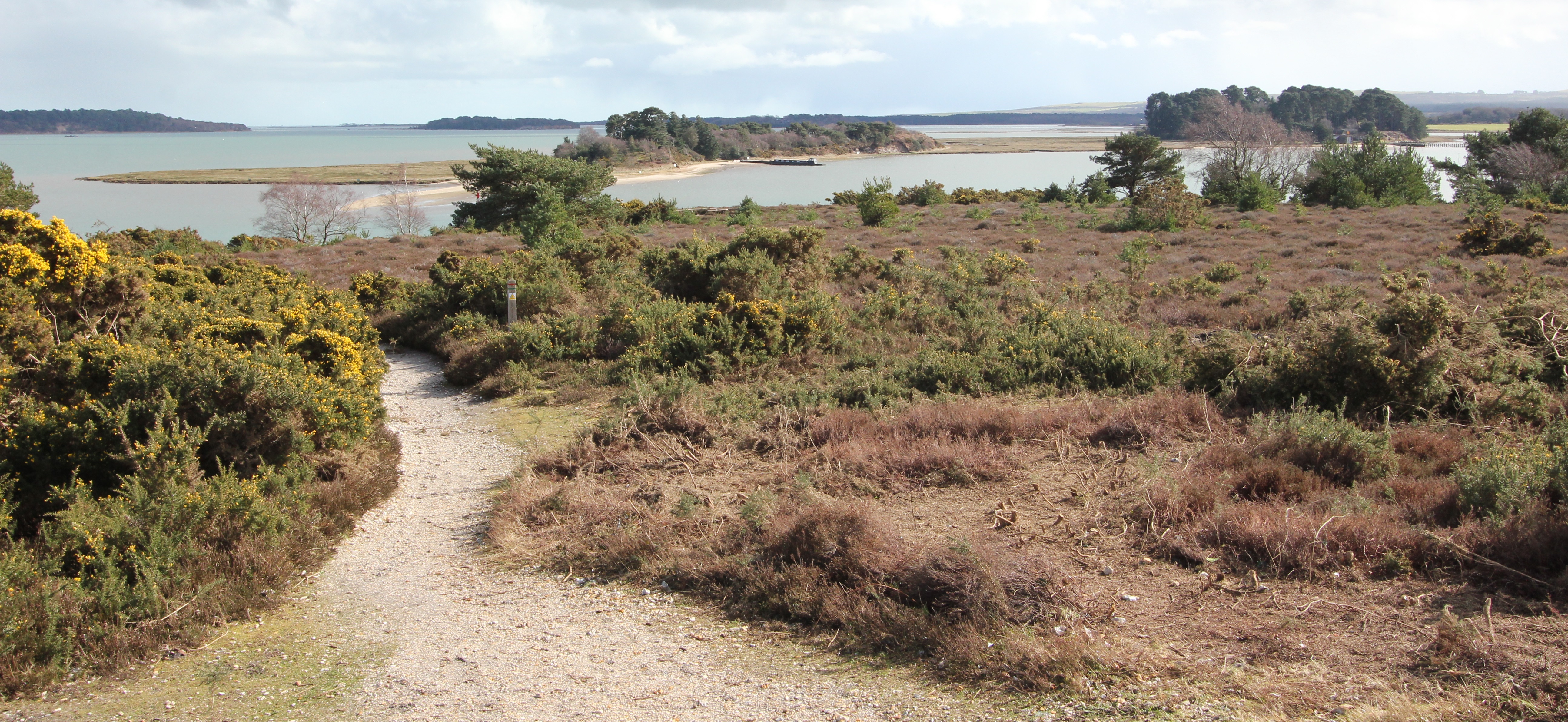
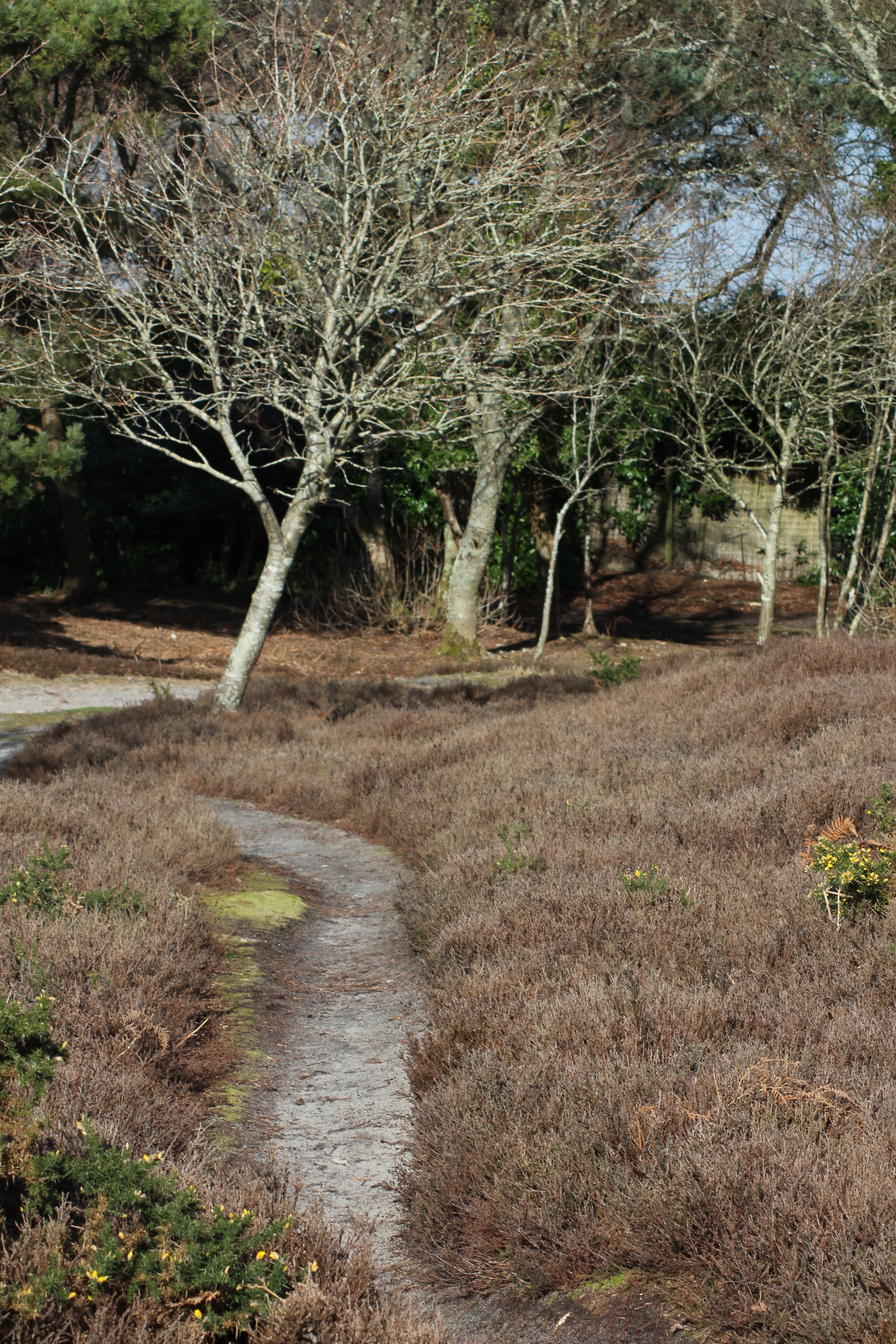
From the car park it’s an eastward walk of about 1 mile (1.6km), past the 12th or early 13th century Church of St. Nicholas, and on through the grasslands of Arne Farm (managed for wildlife), a brief strip of woodland (where the disabled access car park is located in shade), and into the increasingly rare lowland heathland habitat that abuts the beach at Shipstal Point. When walking this route regale your companions with the story of how, in 1947, wine thieves evaded mines in Poole Harbour to land at Shipstal Point before attempting to transport their booty along this road heading inland.
![The orange route is the main path from the car park to Shipstal Point and is a designated public footpath (although the RSPB have just started steering pedestrians away from the initial metalled section of road via an alternative path to Arne Farm), the yellow tracks are those around Shipstal Hill, and the green tracks are other designated routes around the reserve. [Source of base map: MagicMap (c) Crown Copyright and database rights 2016. Ordnance Survey 100022861.]](http://www.afewmilesmore.com/wp-content/uploads/2016/04/Map-of-Arne-and-RSPB-designated-paths.png)
To your left, heading WNW, is a path that leads past dragonfly filled ponds created by WWII bomb craters, and groves of tall trees, before boardwalks lead you away to a two-storey hide overlooking Arne Bay. As interesting and beautiful a route as this is (we’ve always travelled it in a clockwise direction from the earlier mentioned woodland strip bringing us back to the intersection), it doesn’t get you to any beaches, so it doesn’t get in this post.
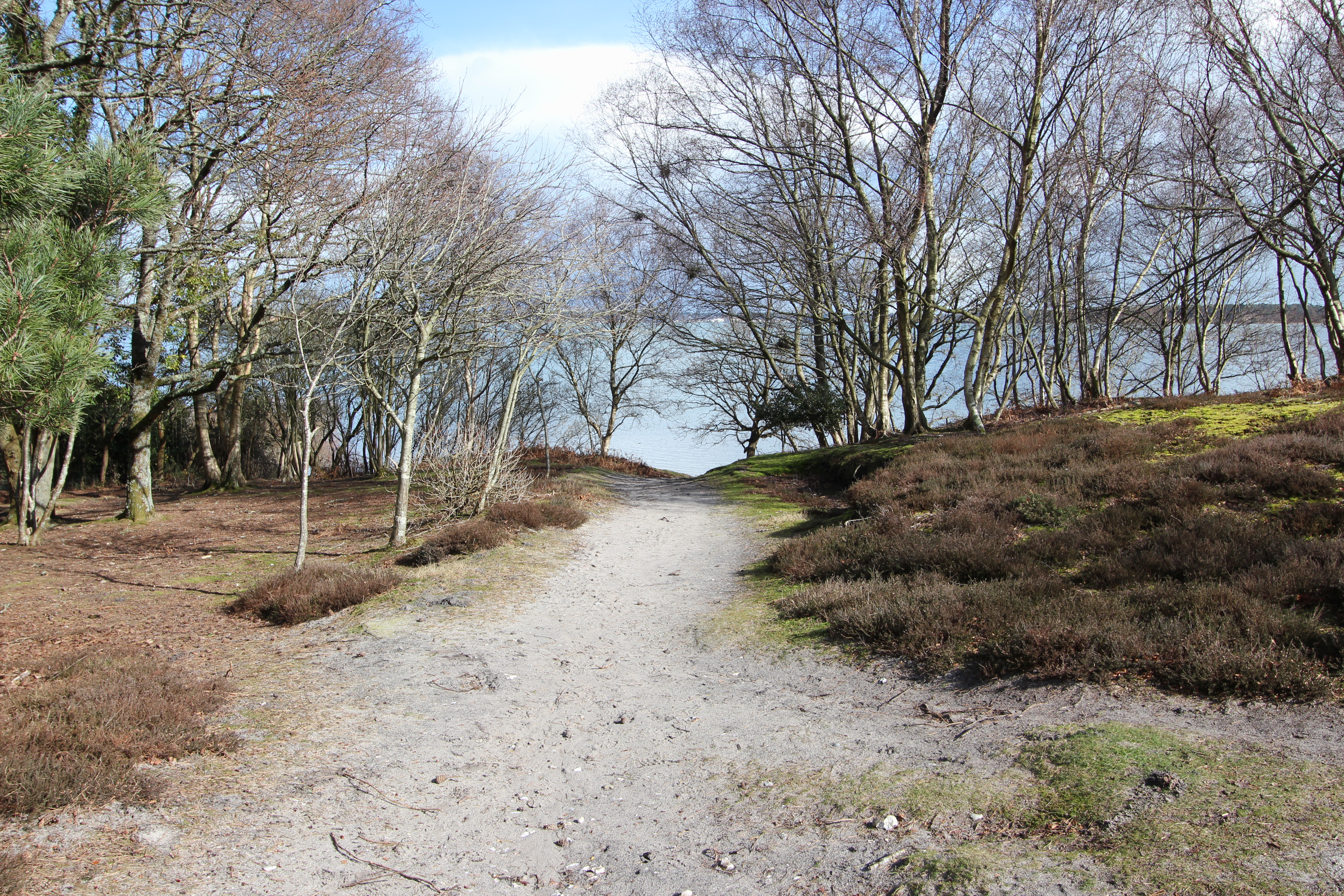
Continuing straight ahead on the restricted vehicular access track in a north easterly direction is the way to Shipstal Point and the beach. To the east is a track with wooden shuttered steps up to Shipstal Hill, more of which in a moment.
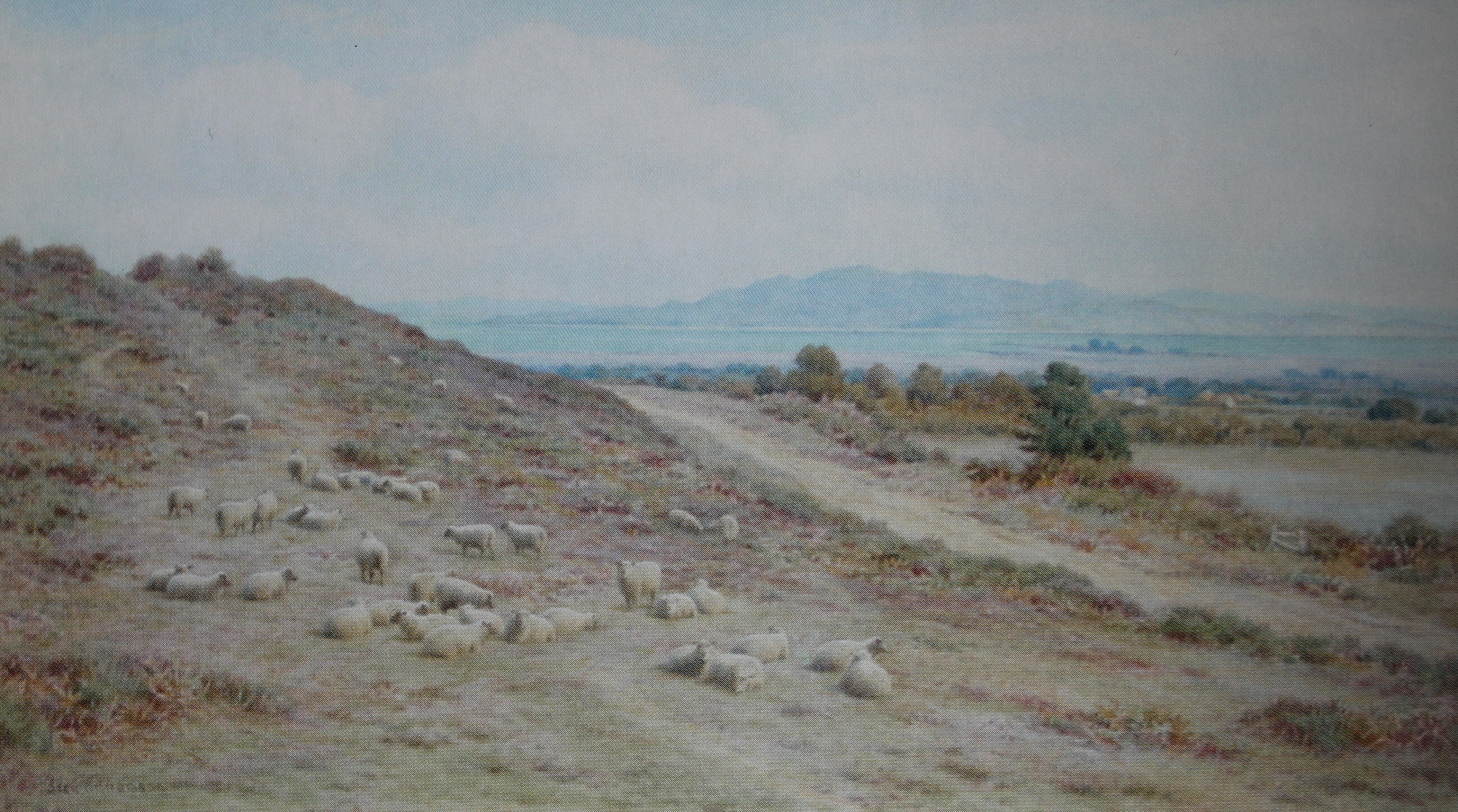
To the south east lies the gentler rise of a track which leads directly over to the southern end of the cliffs at Shipstal. The fifth option is behind you and leads back to the car park, but taking this route before any of the others would be a mistake.
As a family, we have tended to visit most often in the summer months (although Arne is worth a visit at any time of year) when our route has almost invariably found us walking up to Shipstal Hill and down to the southern end of Shipstal Beach, before turning back inland. This affords some great views across Poole Harbour and its islands, but leads away from Shipstal Point.

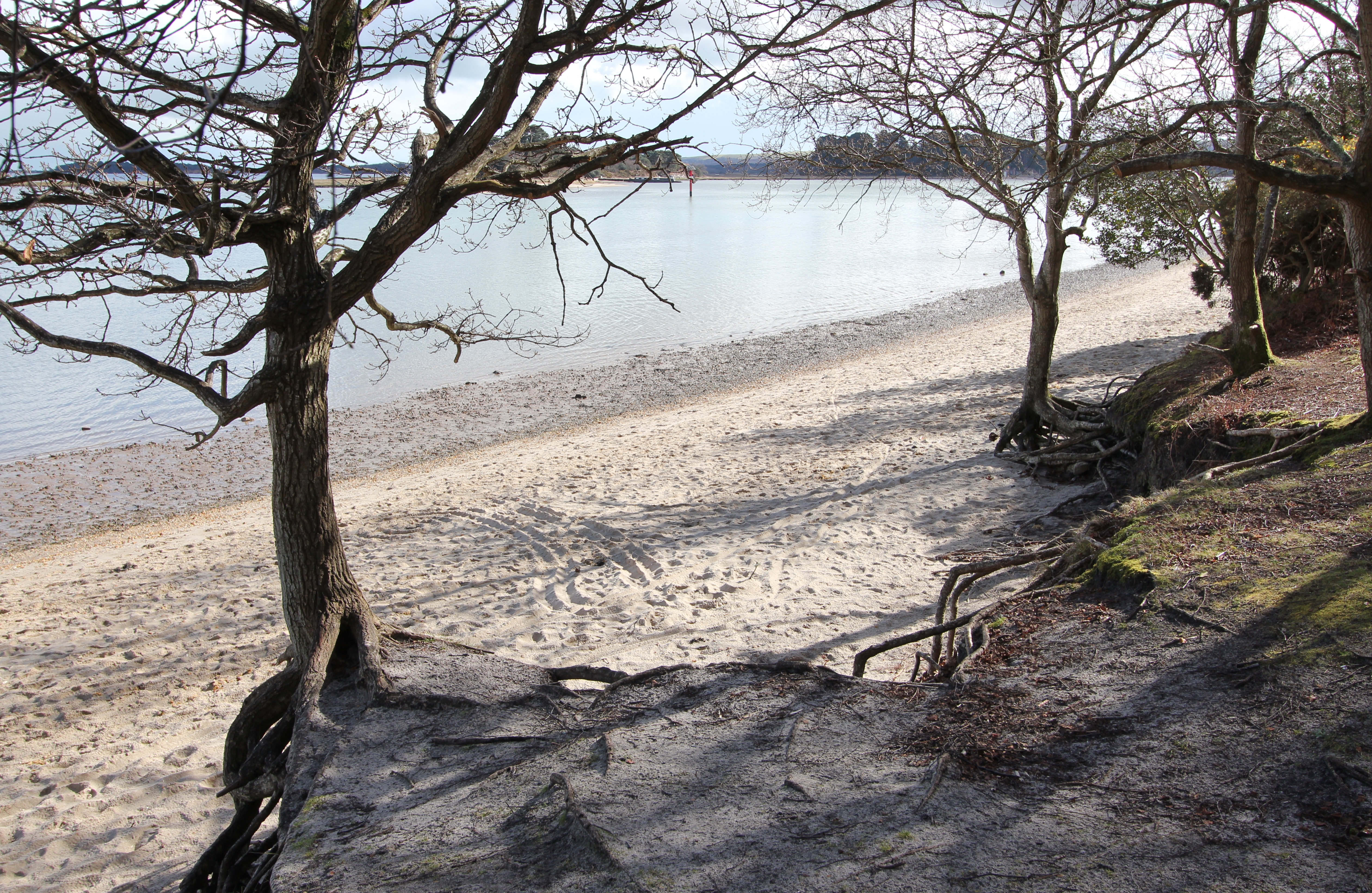
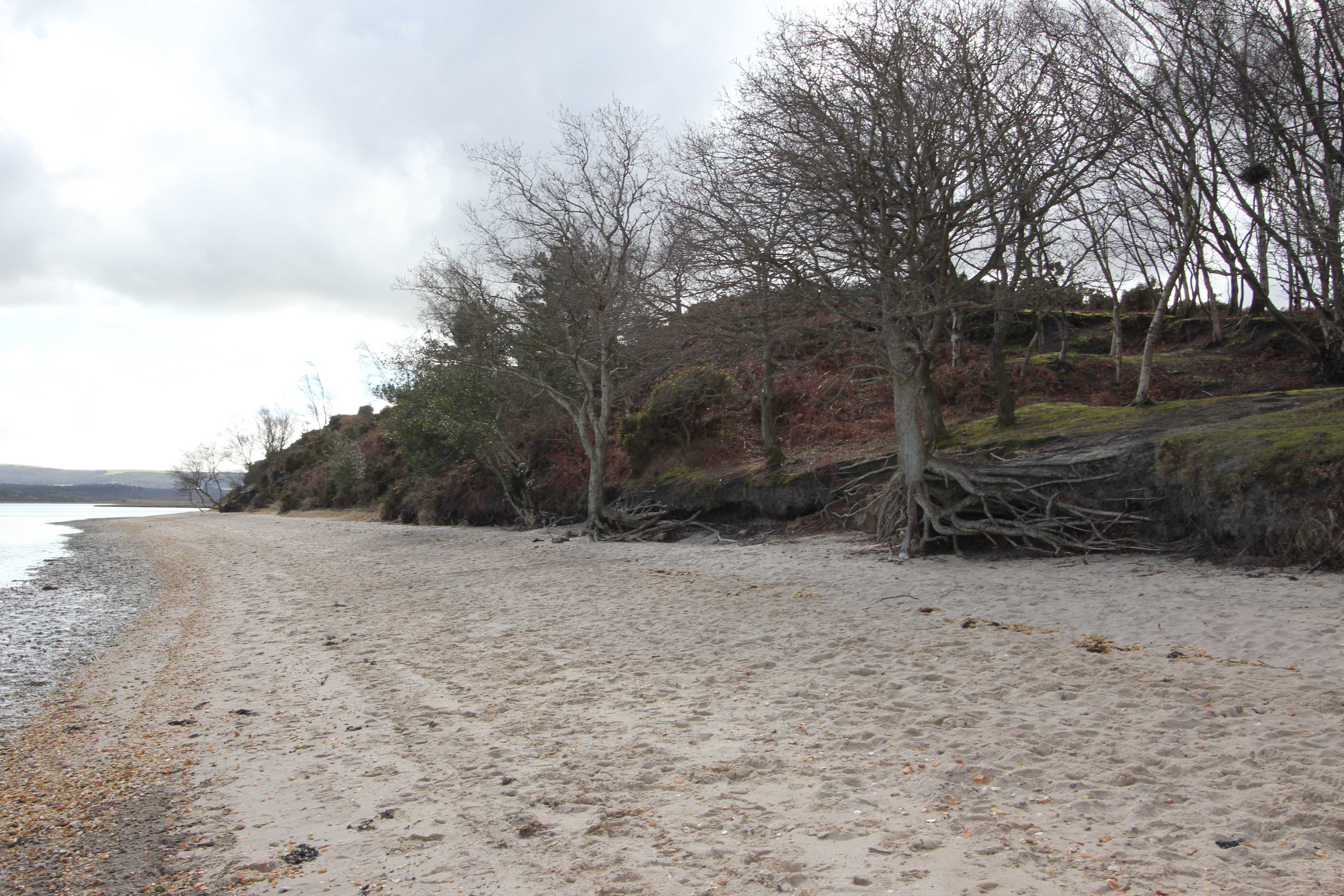
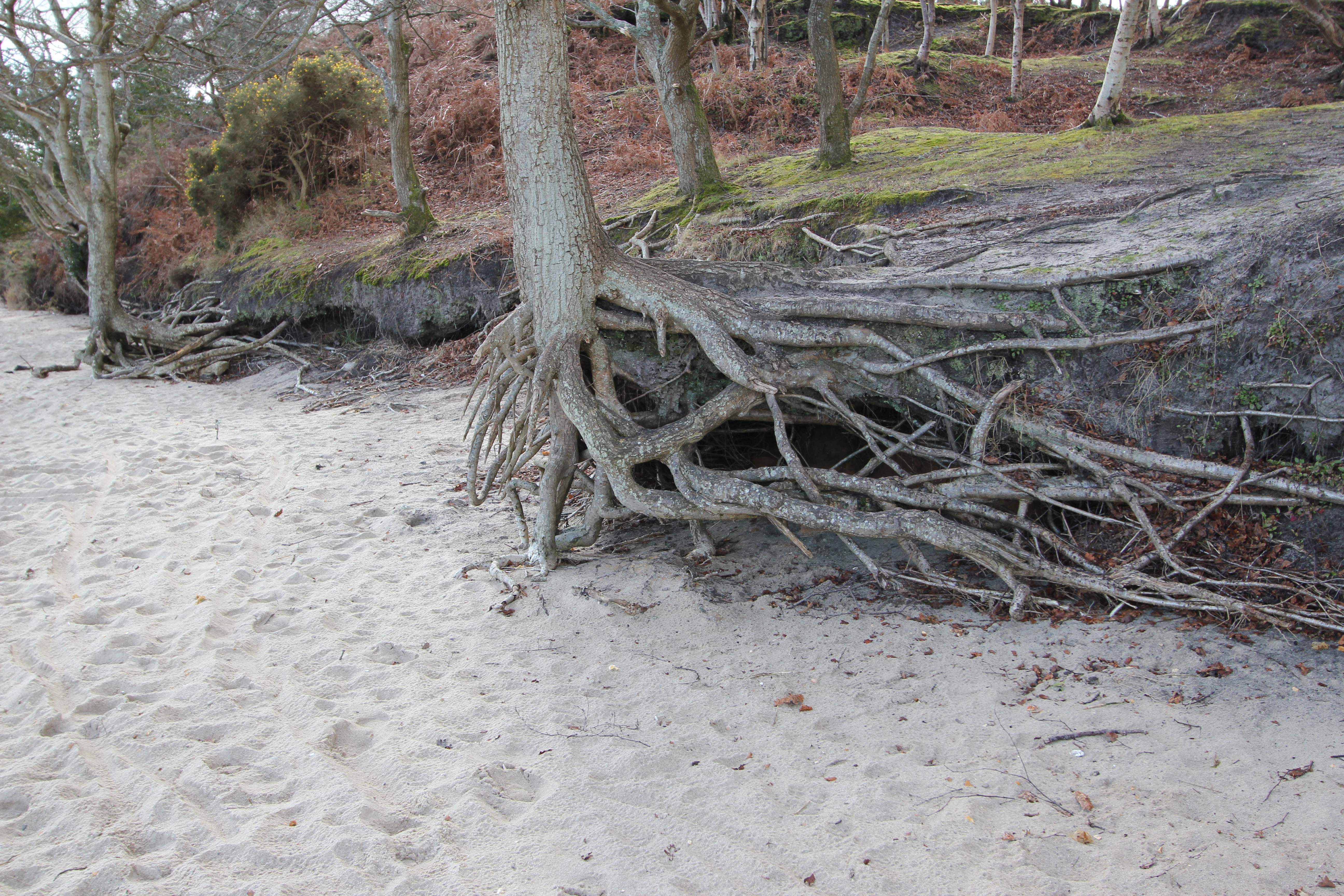
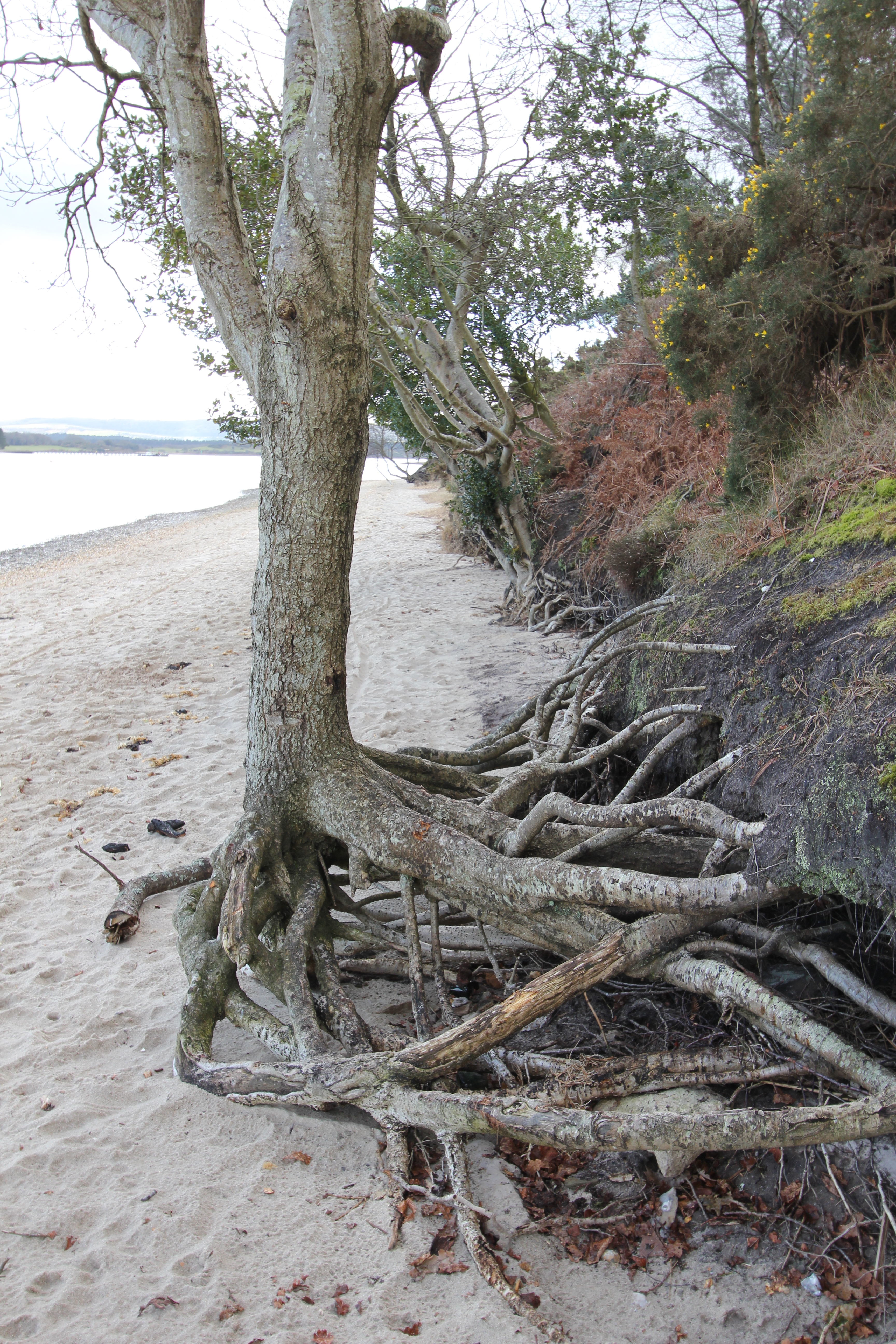
According to Philip Brannon’s “Illustrated Historical & Picturesque Guide to Bournemouth & Its Neighbourhood, Part 2” (1857) Shipstal Quay was a principal point of entry to Arne from Poole, but this has long since gone.
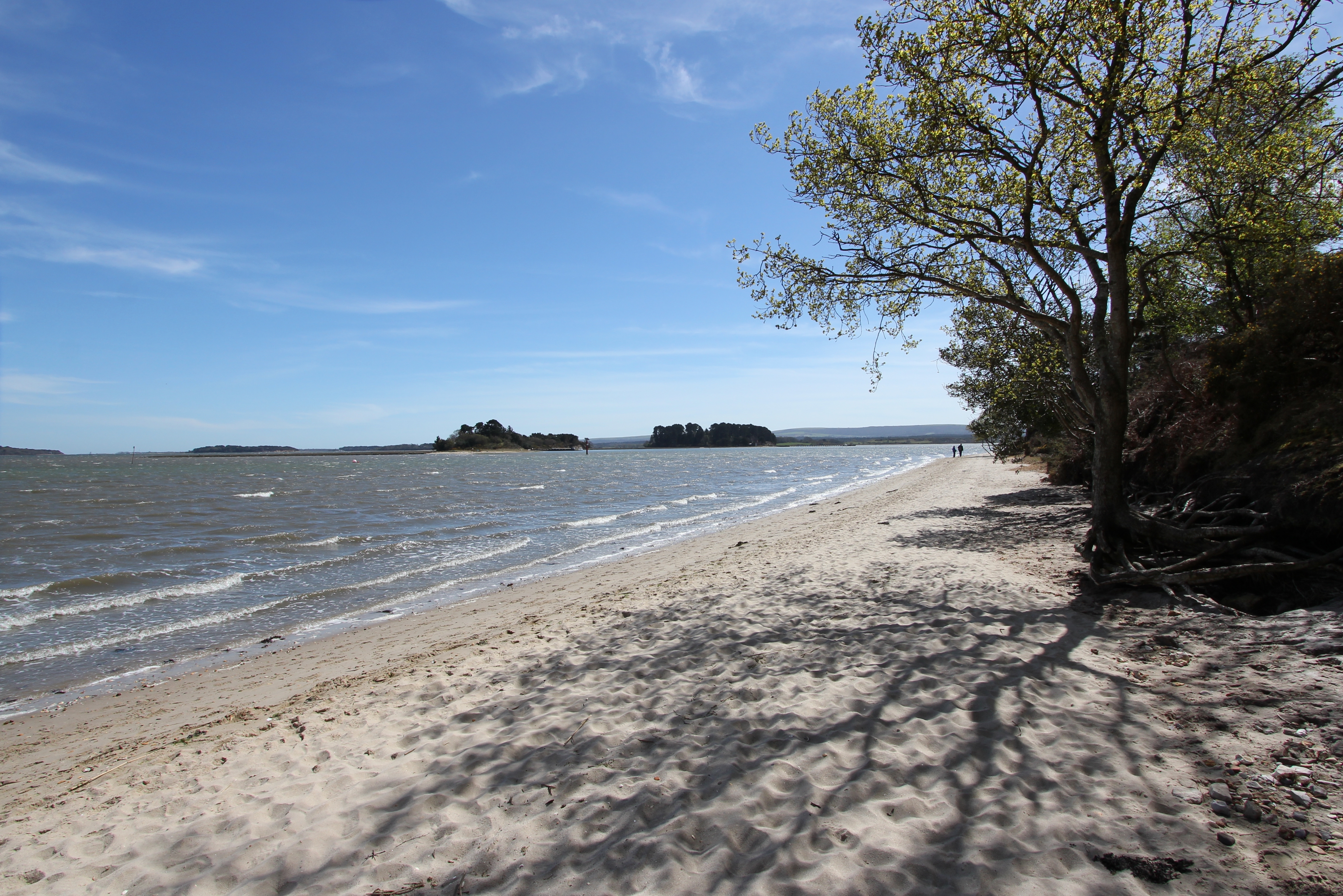
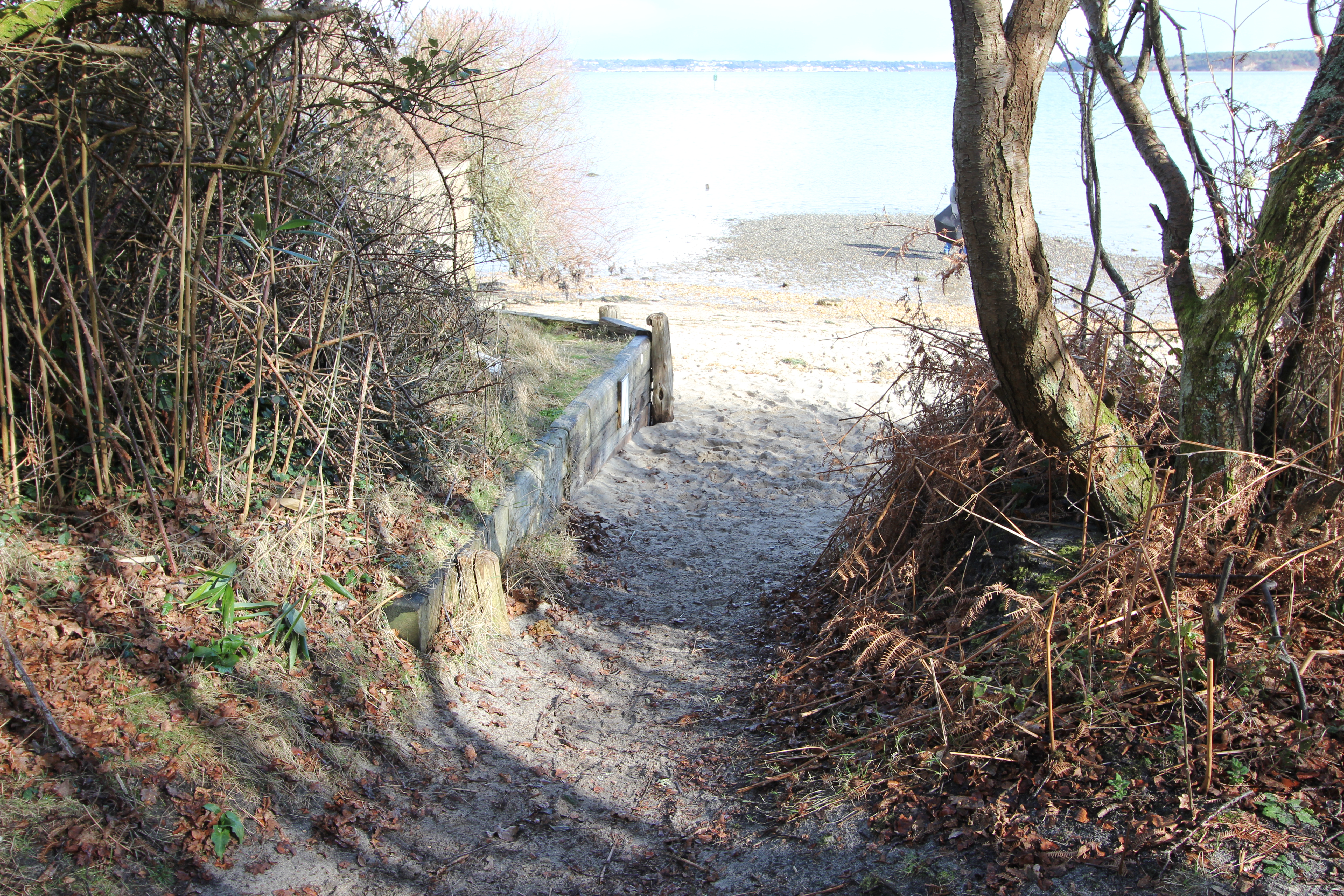
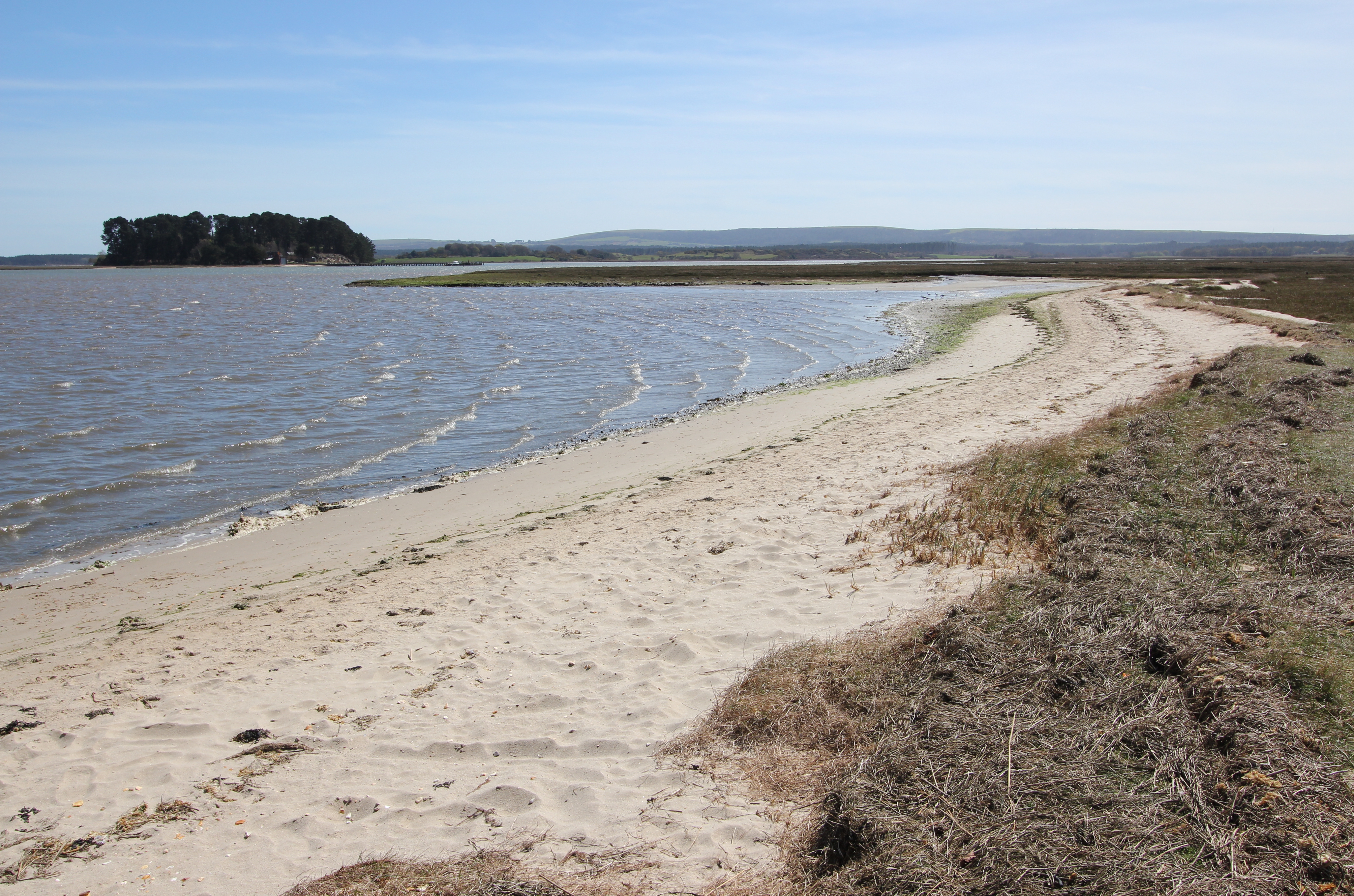
From Shipstal Point the beach runs southwest as a narrow strip for about 120m before slightly widening as it curves to the west for another 175m, where the path turns inland.
In winter months watch out for Eurasian (or Common) Spoonbills (Platalea leucorodia) flying or roosting near Shipstal Point. Once locally extinct in the UK, growing numbers are being recorded at Arne each year and it is believed that they may start to breed here in the near future.
Little Egrets (Egretta garzetta) were first confirmed as breeding in the UK in 1996 at Poole Harbour, and are now a common sight around Shipstal. It is one of the species that was cited in the original declaration of the terrestrial and intertidal areas of Arne’s coast (and the rest of Poole Harbour) down to Mean Low Water (MLW) as a Special Protection Area (SPA). It is anticipated that the SPA will be extended to the entirety of the harbour by December 2016.
Watch (and listen) out for the spectacular migratory Osprey (Pandion haliaetus), Marsh Harriers (Circus aeruginosus), and Hen Harriers (Circus cyaneus).
For the latest sightings of these and many other bird species from Shipstal and elsewhere on Arne, visit the RSPB website or their Twitter feed and the Birds of Poole Harbour website.

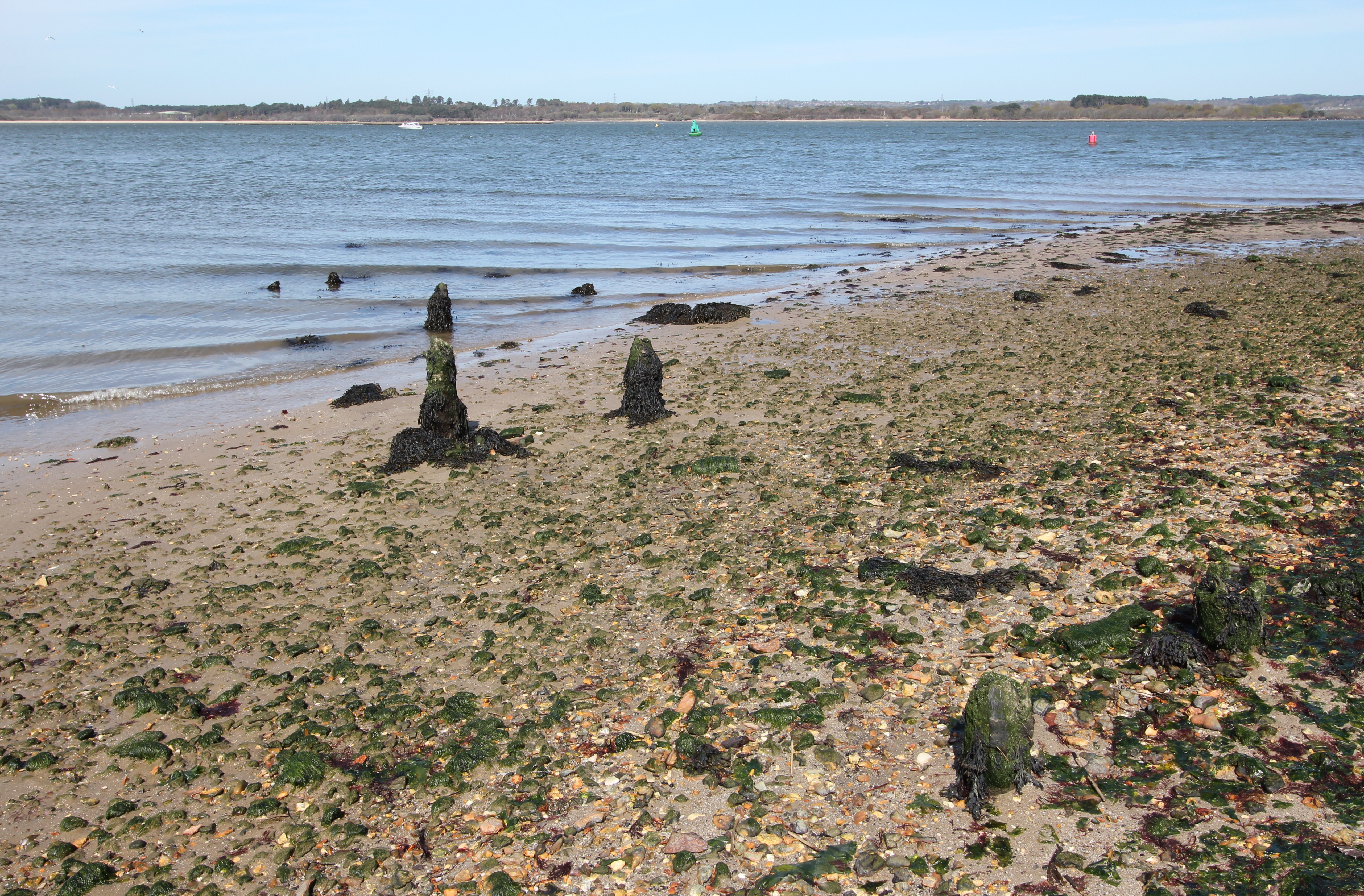
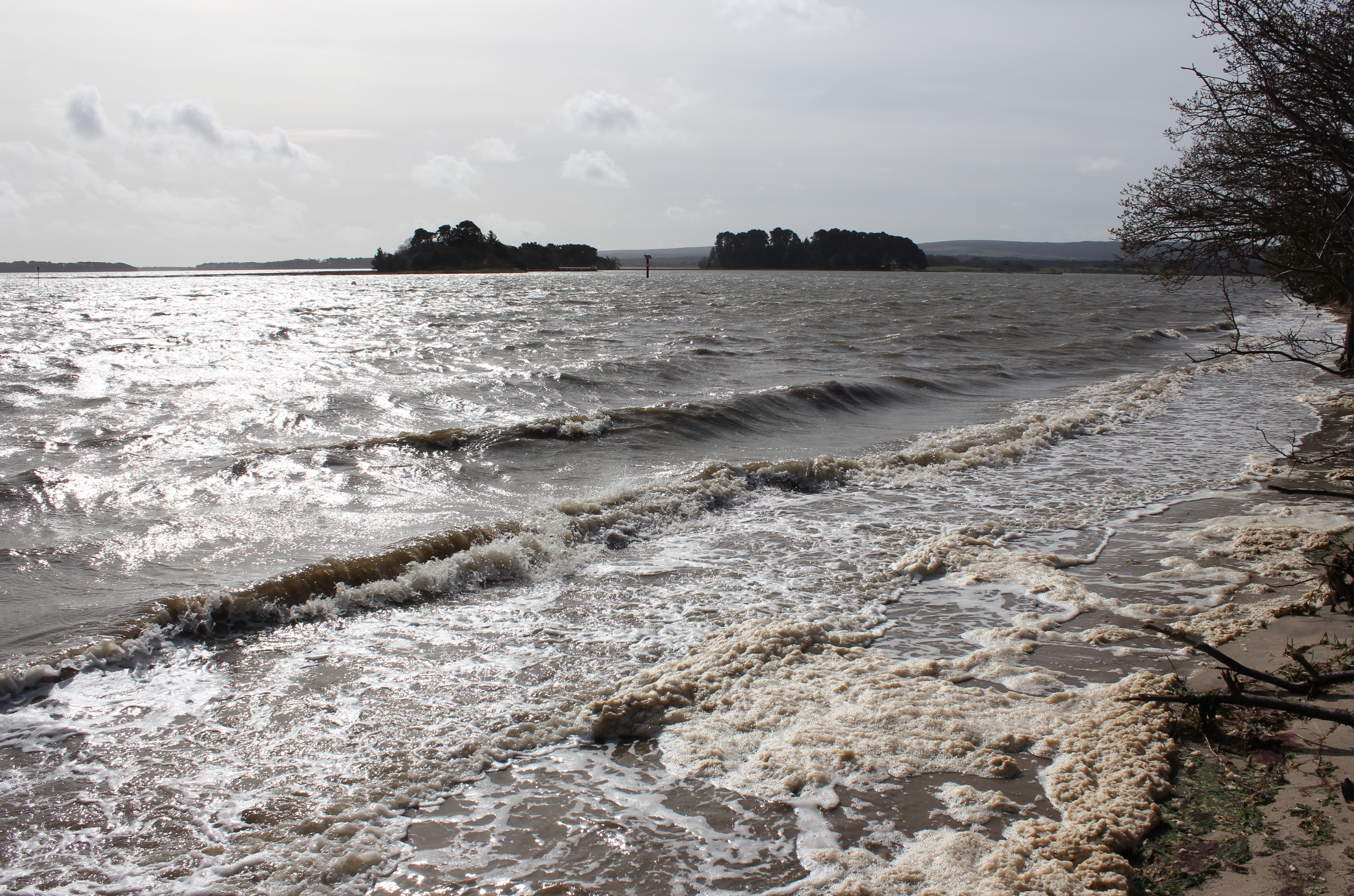
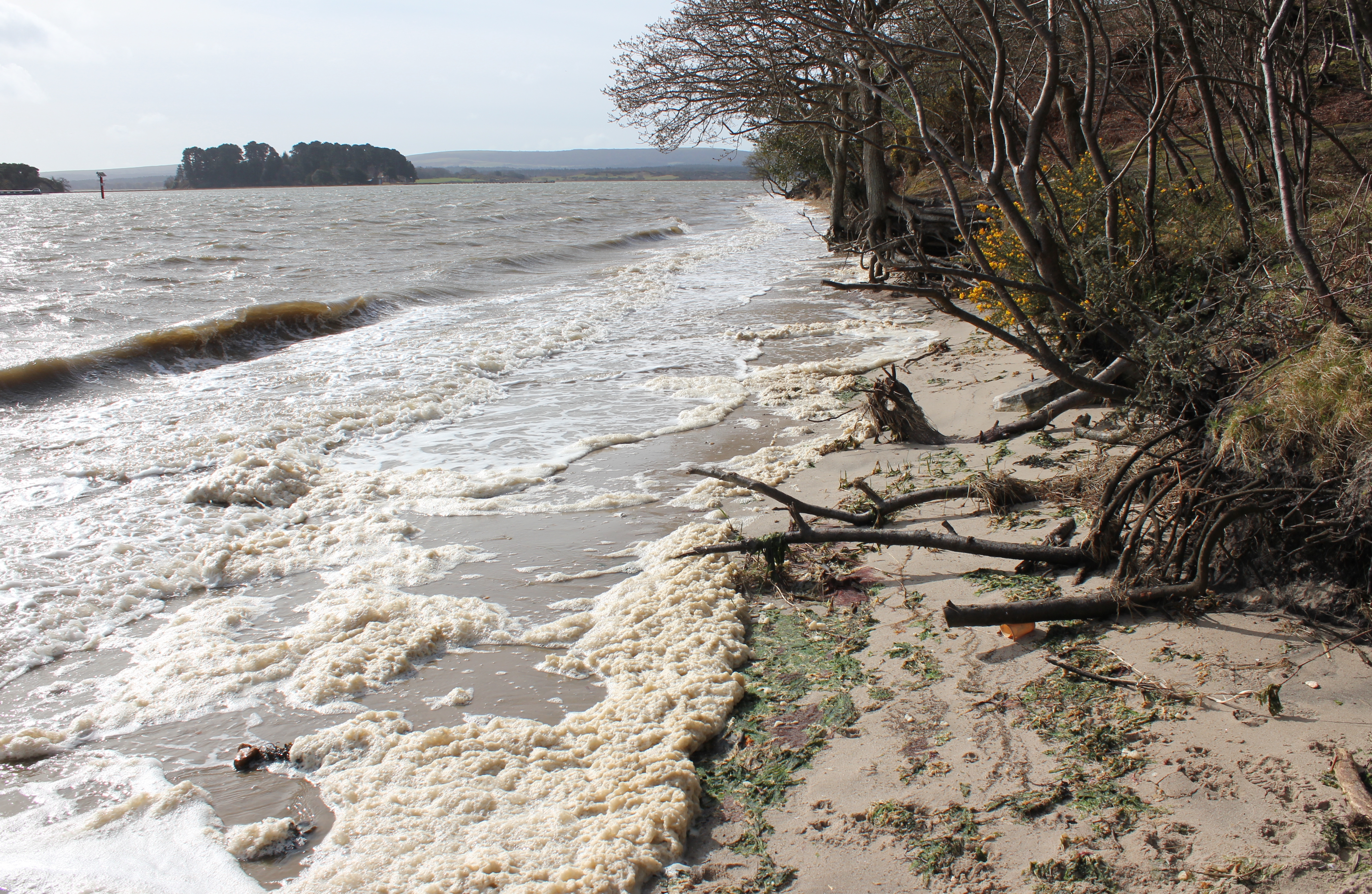
It’s worth keeping in mind that a high tide and a strong easterly wind may reduce your chance of walking down the beach at Shipstal:
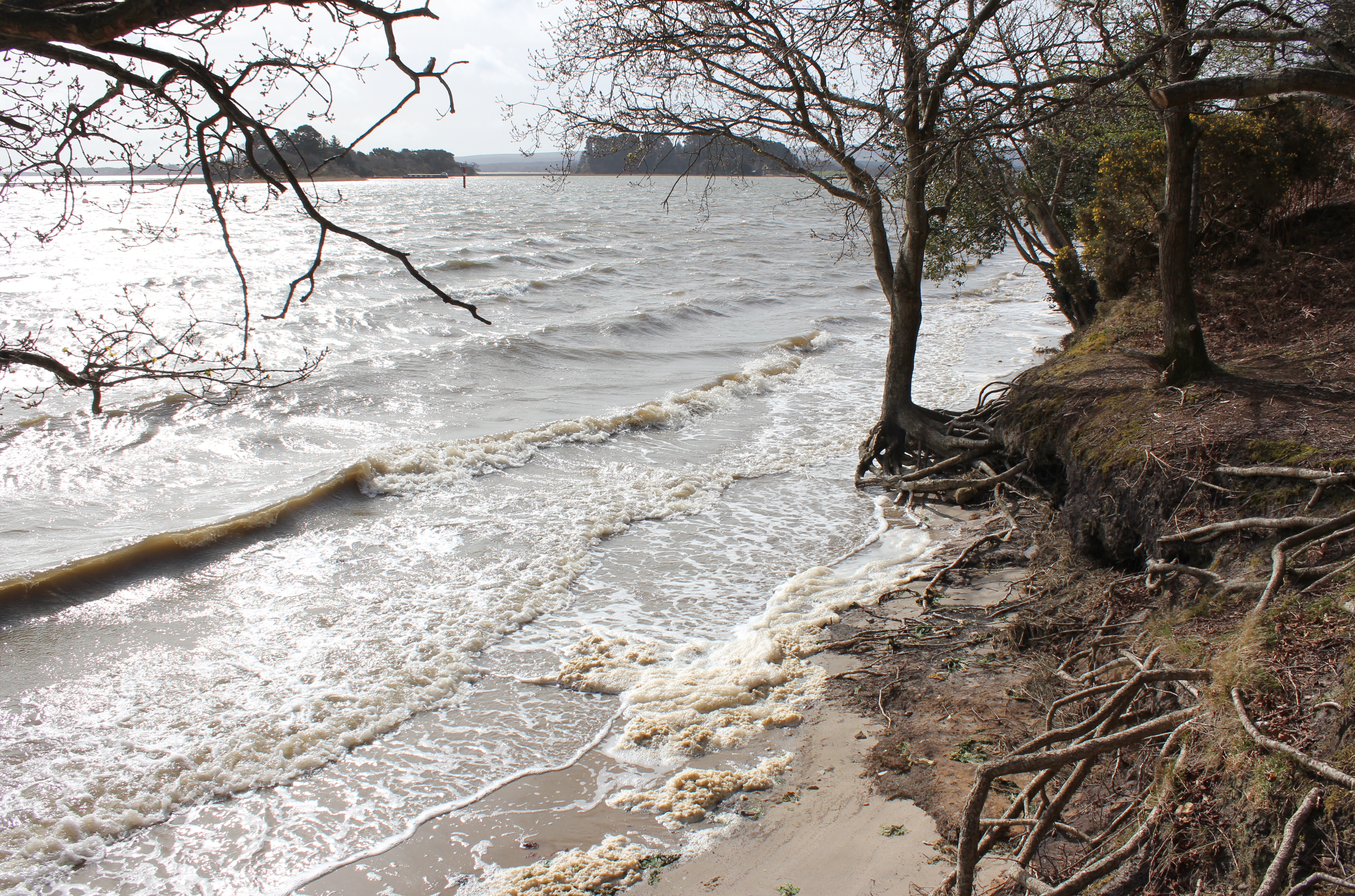
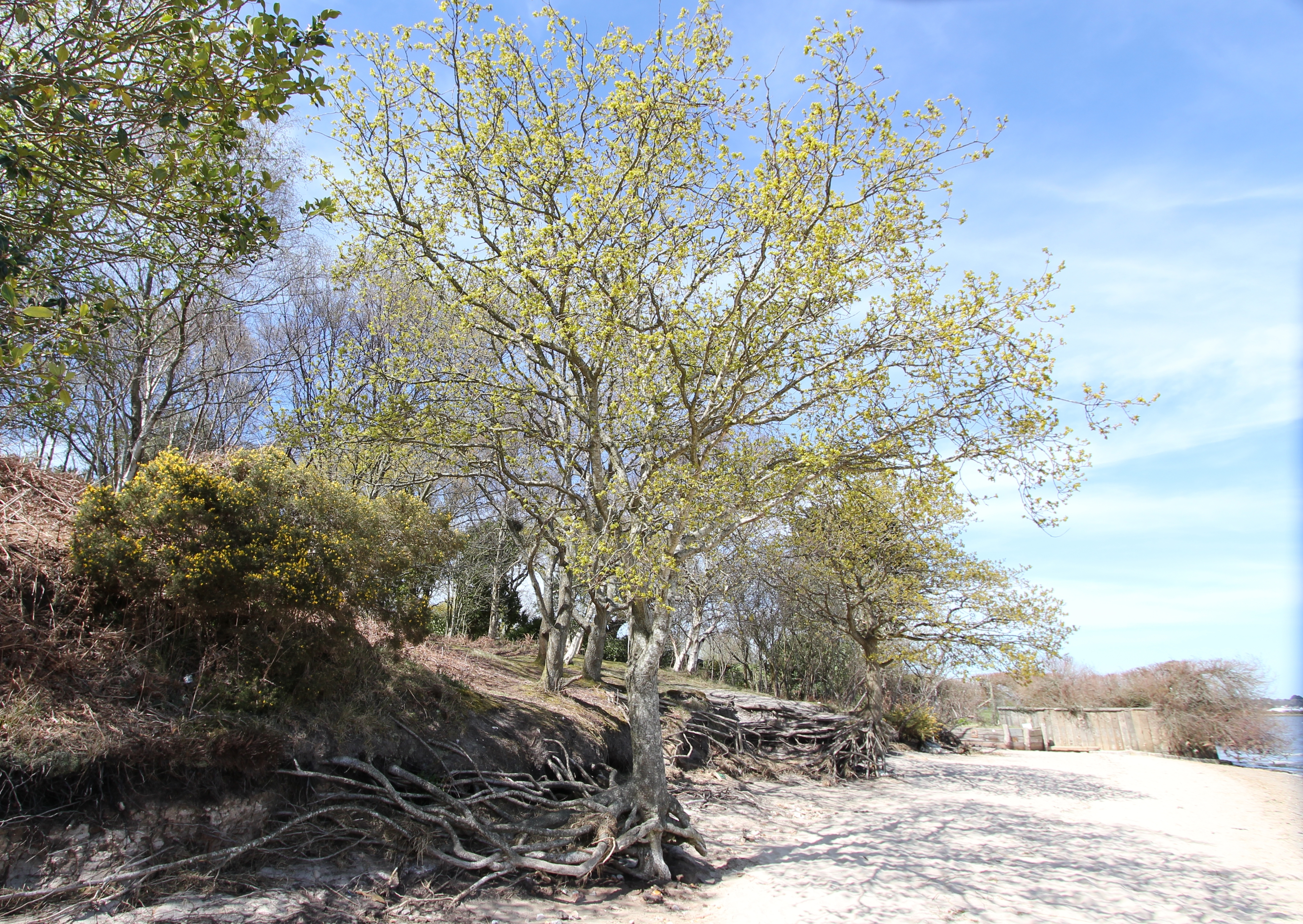
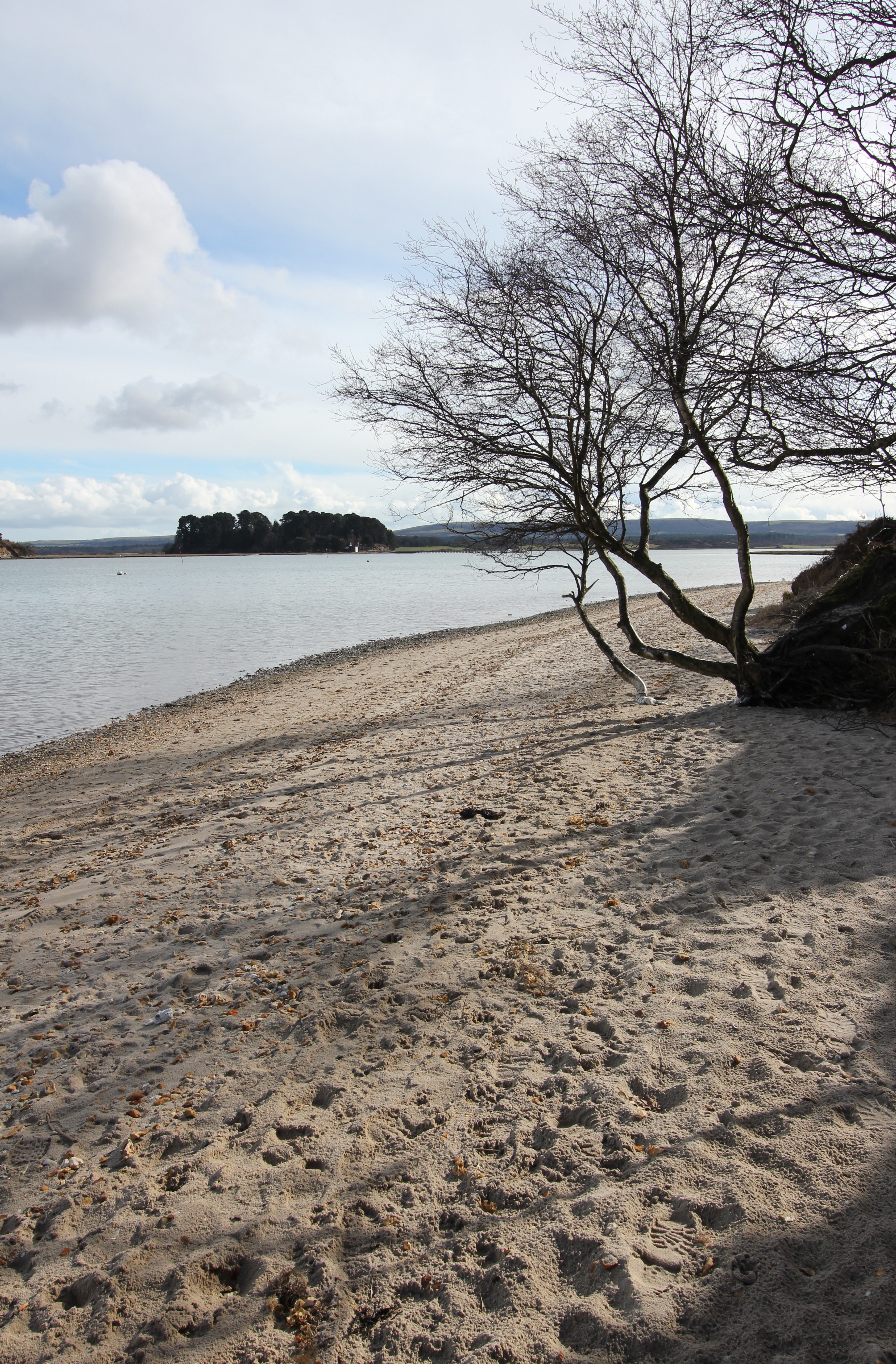
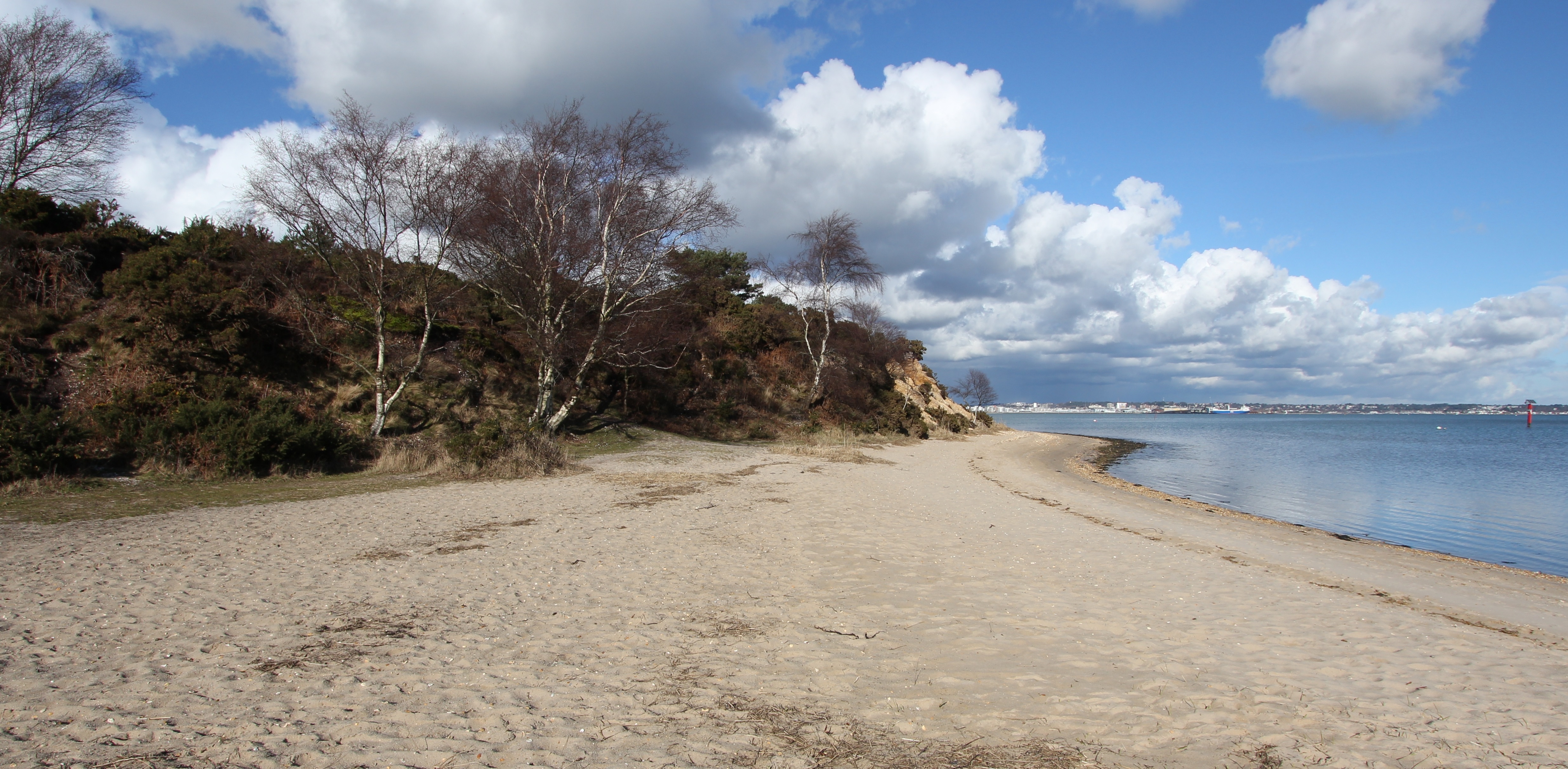
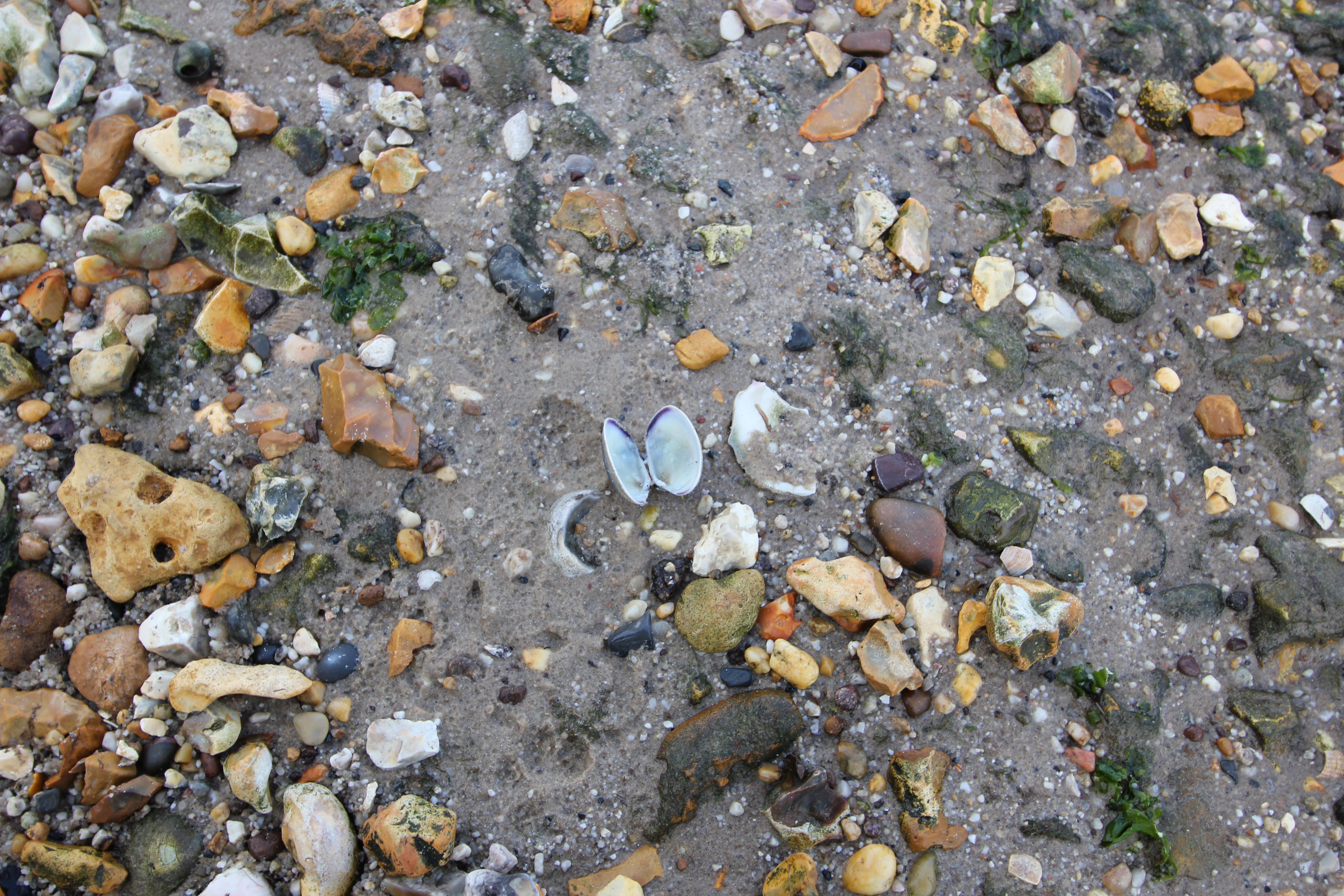
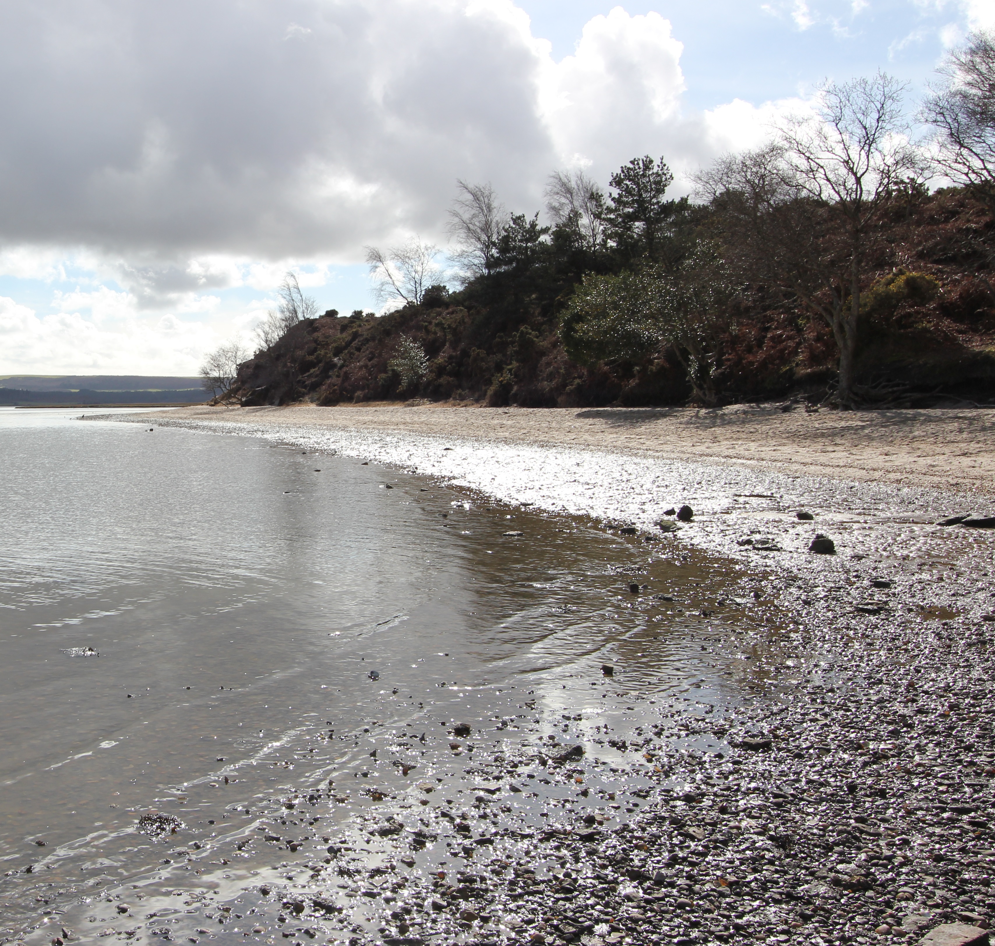
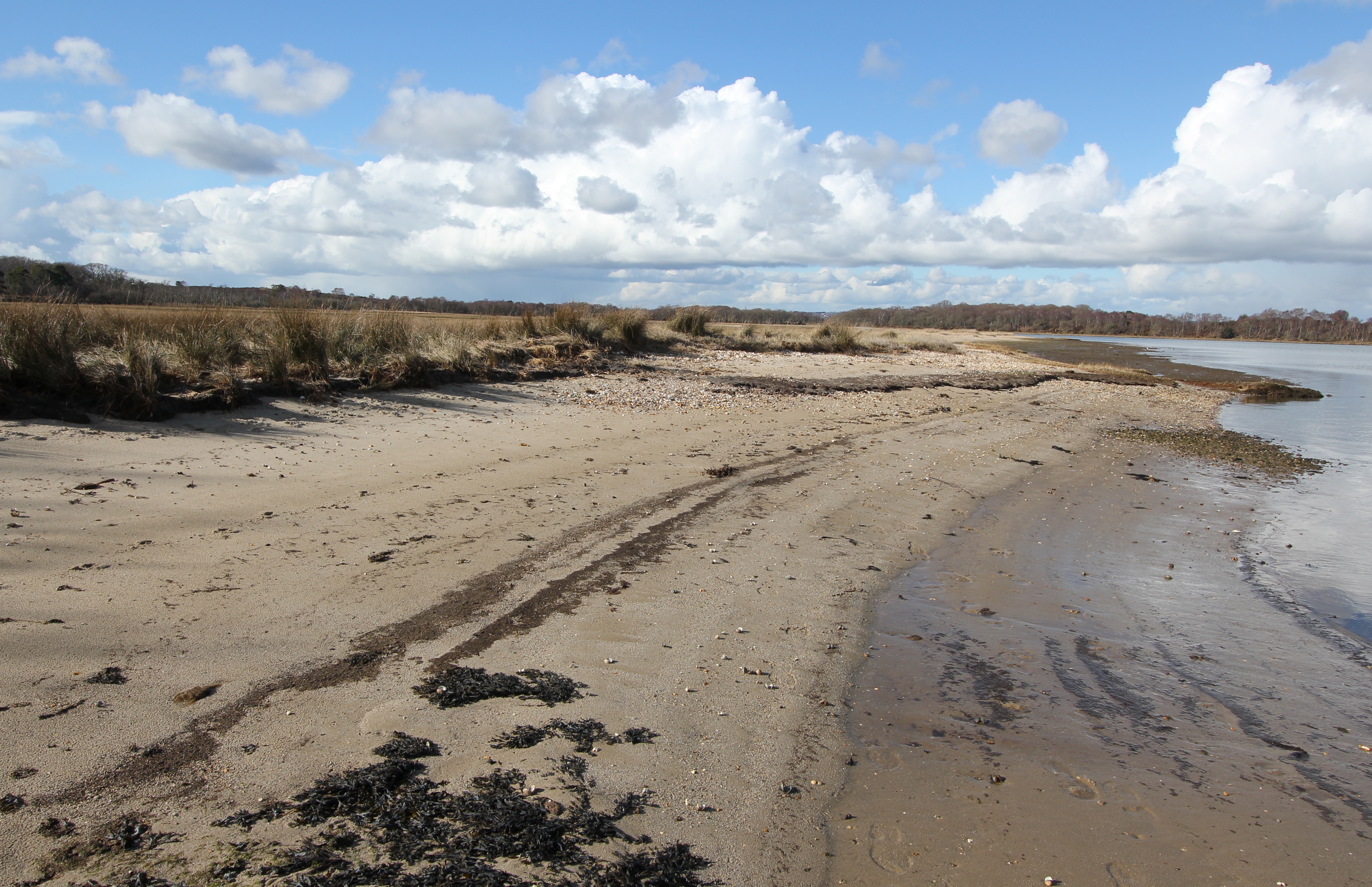
The beach is a mix of sand with some shingle (and shells), and the latter increases as you get to the water’s edge before mixing with underlying mud flats, so, if you intend to dip your toes, wear something to protect your feet in the water:
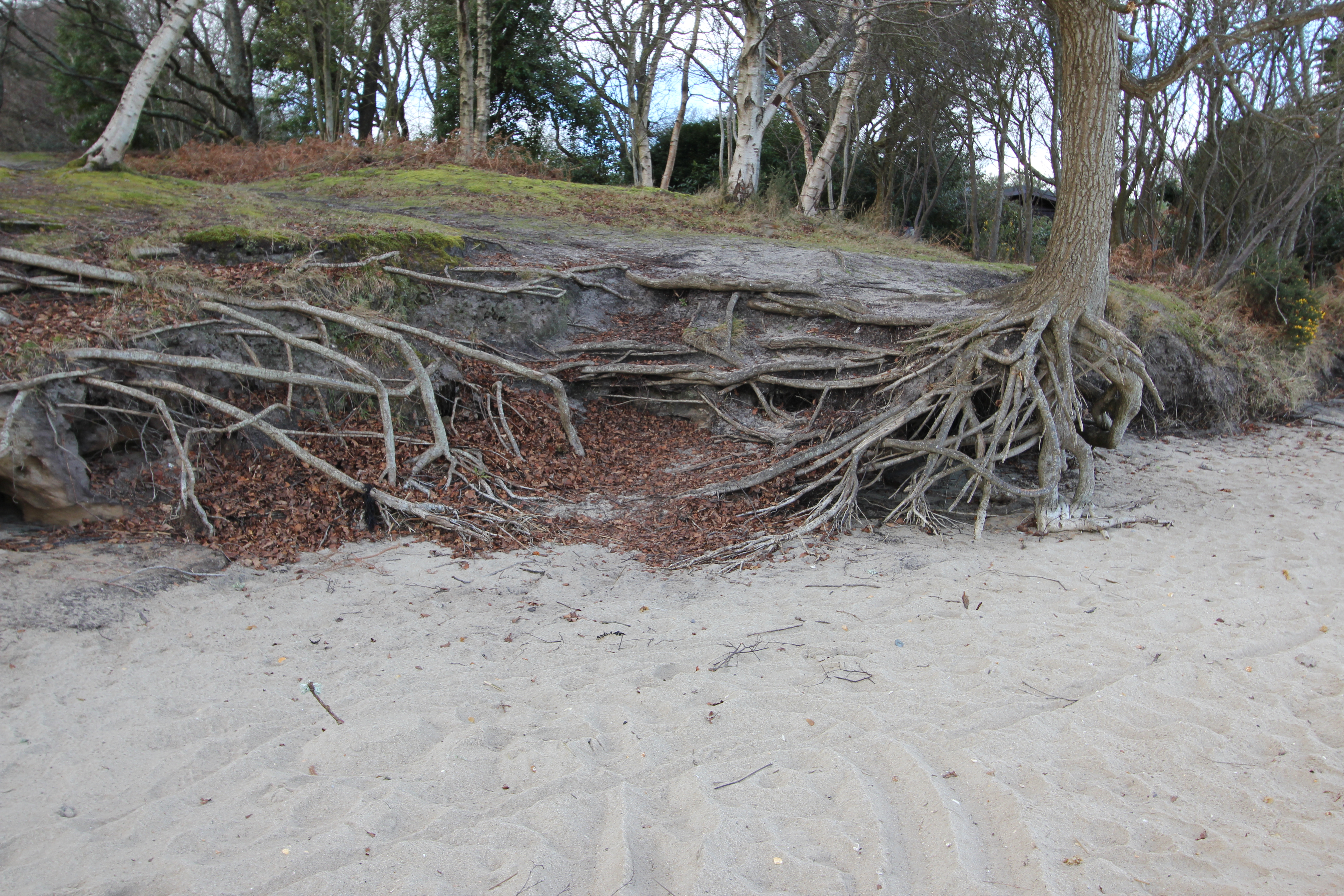
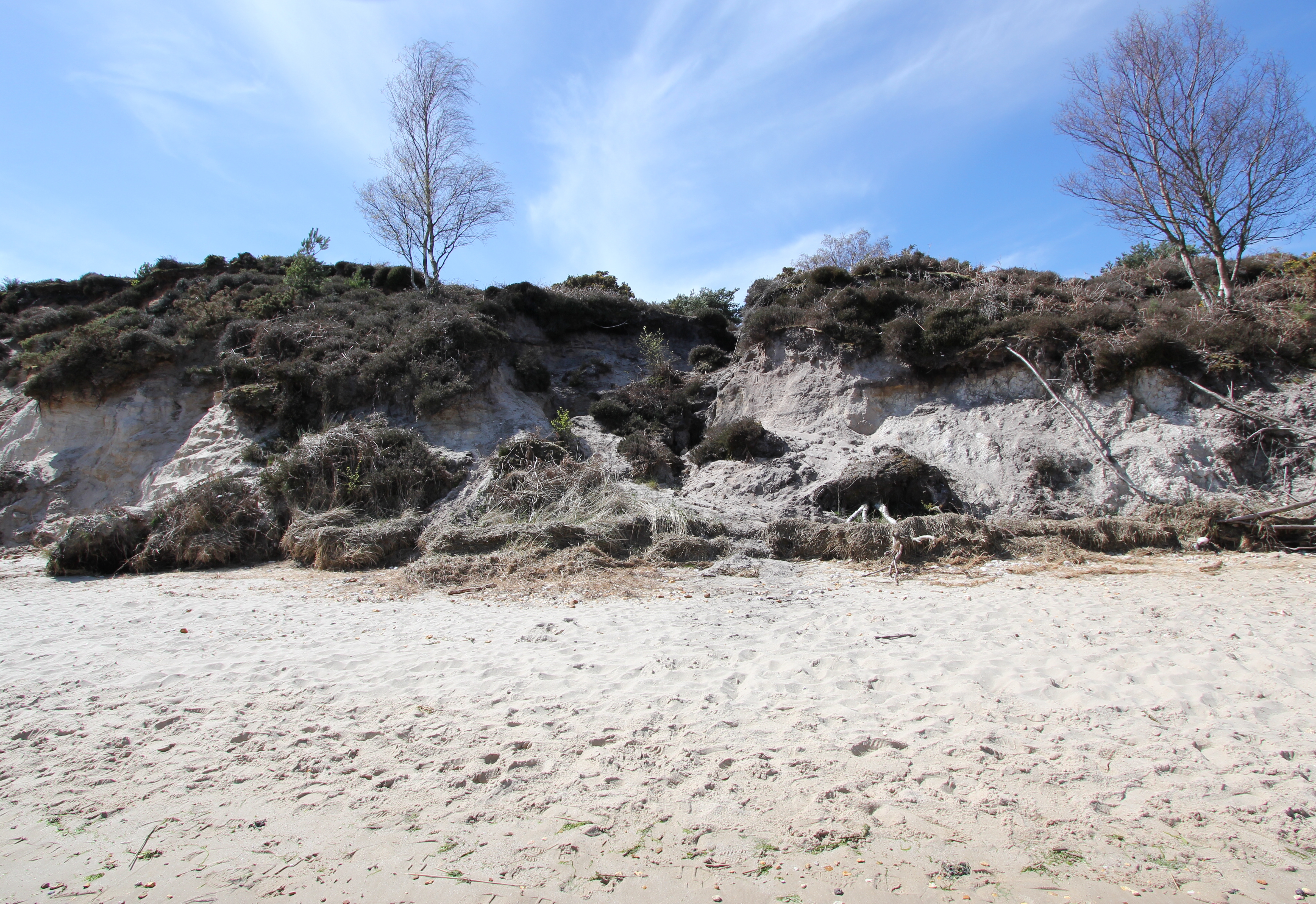
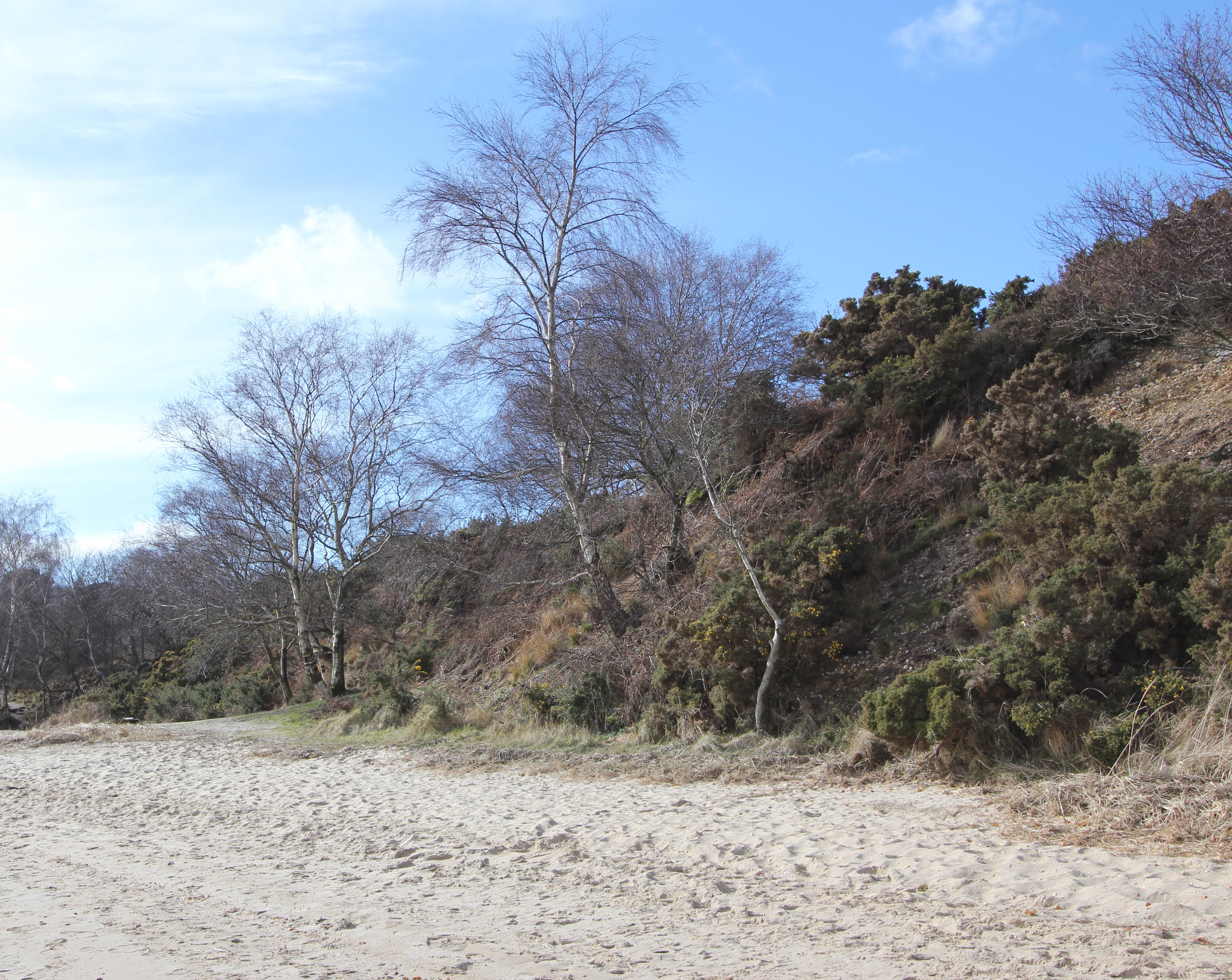
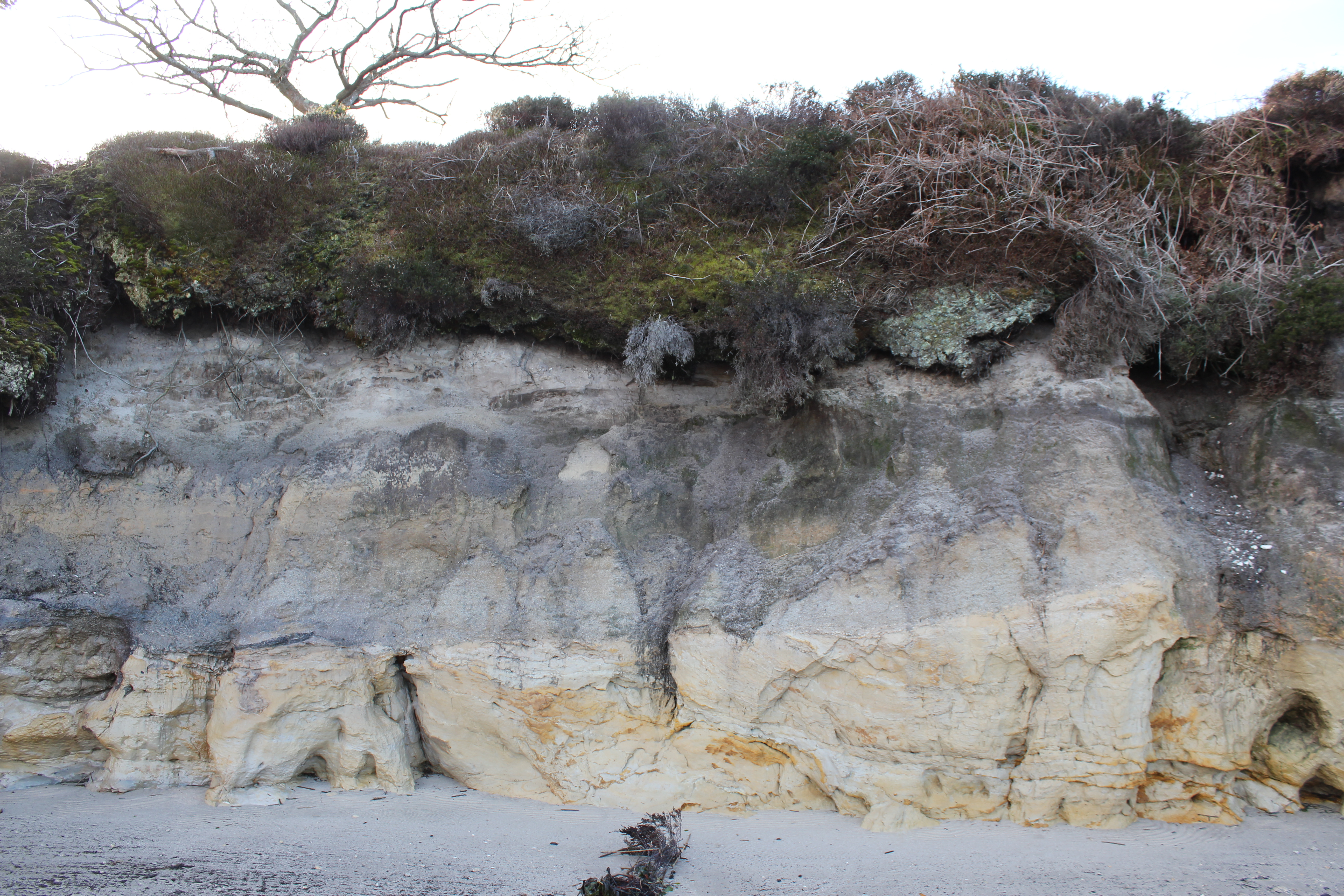
The beach is entirely a product of the cliffs that run its length, starting at a height of 1m by the cottages at Shipstal Point and rising to a maximum of 10m. At its full height the lower 9m of the cliff is primarily comprised of unconsolidated sands that were laid down by a vast meandering river flowing west to east from what is now Devon and Somerset during the early (56 million to 47.8 million years ago) and middle (47.8 million to 38 million years ago) Eocene epoch, when the area would have had a gradually cooling sub-tropical wet climate. Above this is a layer of sand and pebble laid down as the wash from sub-arctic glacial rivers during later ice ages. The sand and shingle surface of the paths on Shipstal Hill attest to the shallow depth of the top layer of the heathland’s peaty soil.
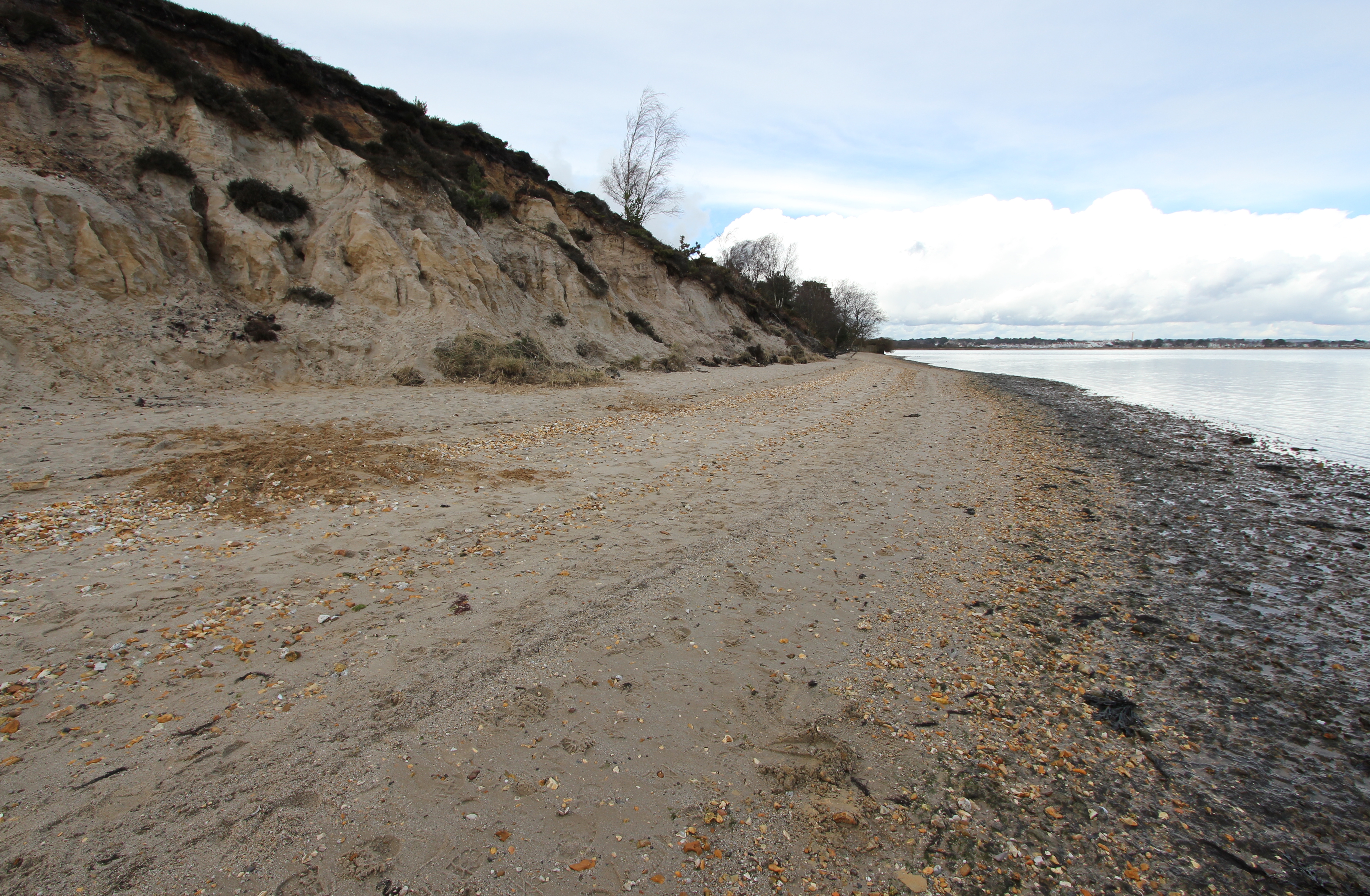
![With 40-50 million years of hindsight this is the view looking upstream at the river which deposited these exposed Poole Formation “fine to coarse quartz sands with occasional lenses of white clays. […] The sands, which have been identified as underlying the Broadstone Clay, were areas of fast flowing water that washed away the finer material, while the clays were the deeper pools where the finest material collected.” [Source: DIGS]](http://www.afewmilesmore.com/wp-content/uploads/2016/04/Shipstal-Cliff-erosion-Arne-sand-castle.jpg)
The southern spit
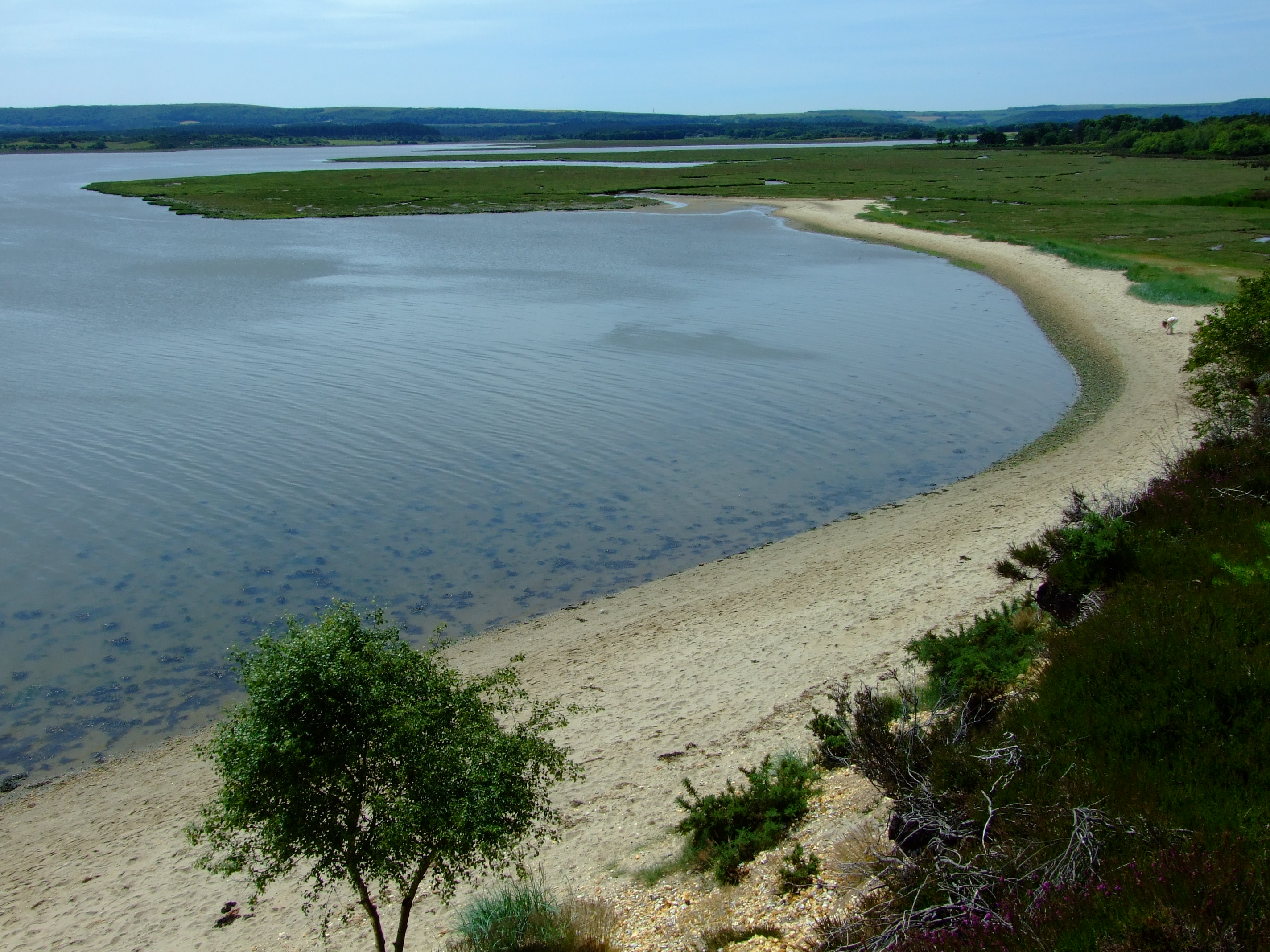
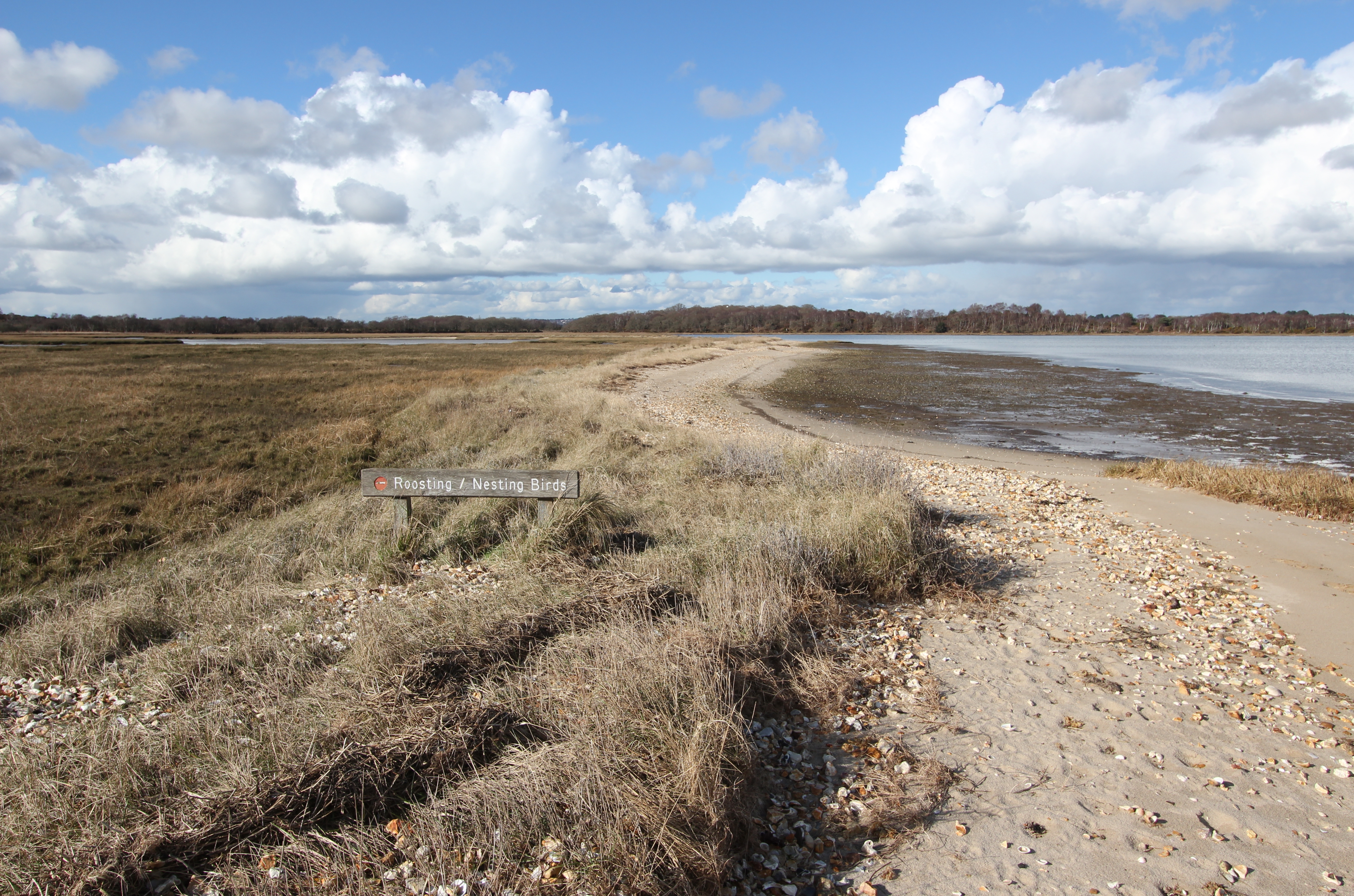
At its southern end the beach continues for about 130m as a thin strip backed by salt marsh until it abruptly ends at a small creek. This spit didn’t exist until the 1920’s, and was created following the spread of Common Cord-grass (Spartina anglica) into Poole Harbour over the previous 30 or so years. The wave pattern which previously flowed south to north across Middlebere Bay against the Shipstal coast was blocked and refracted by the Spartina, causing the north to south littoral drift of sand and shingle that built the spit.
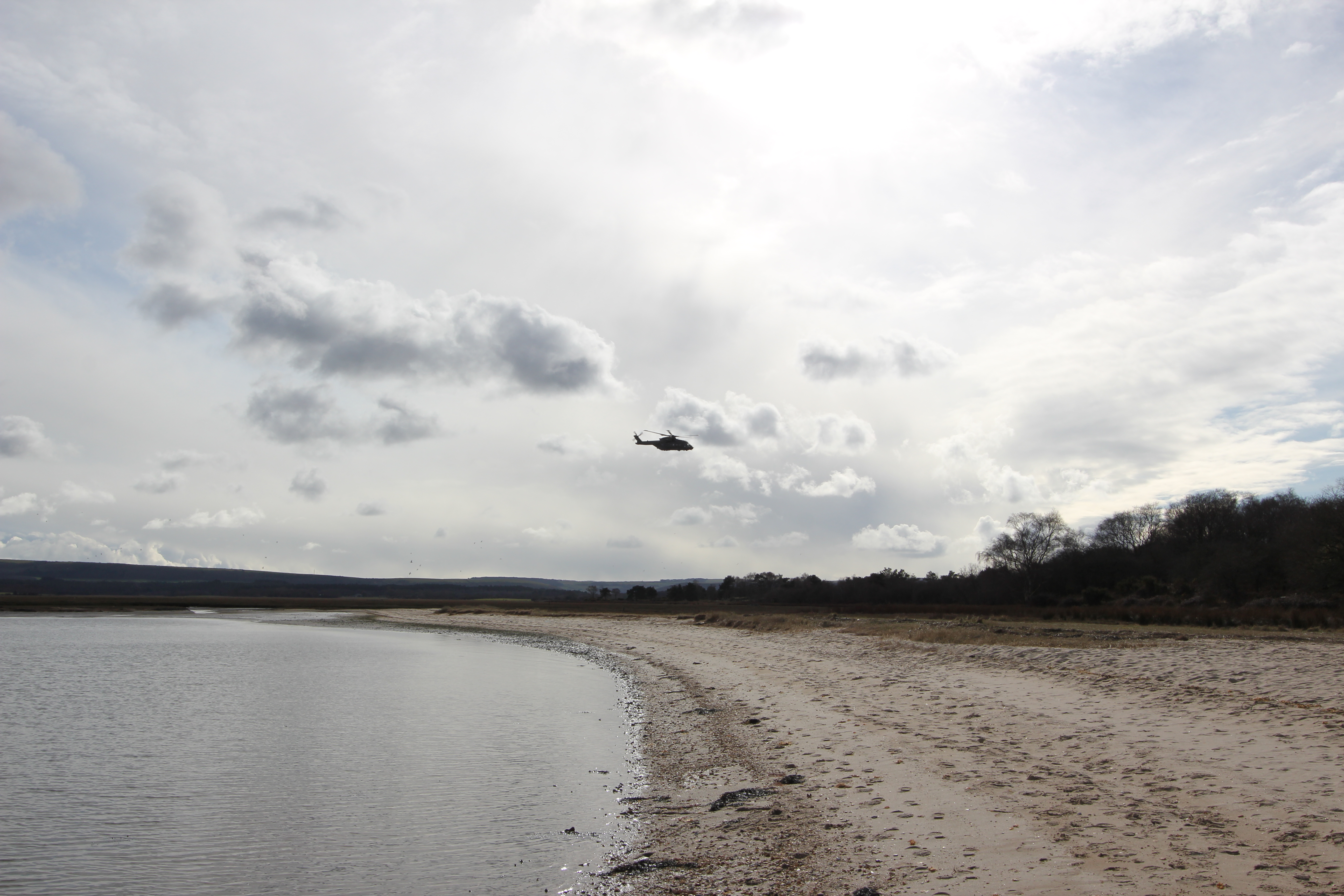
You are fairly likely to see military helicopters in flight during a trip to Arne, given that the harbour is the location of a Royal Marines base:
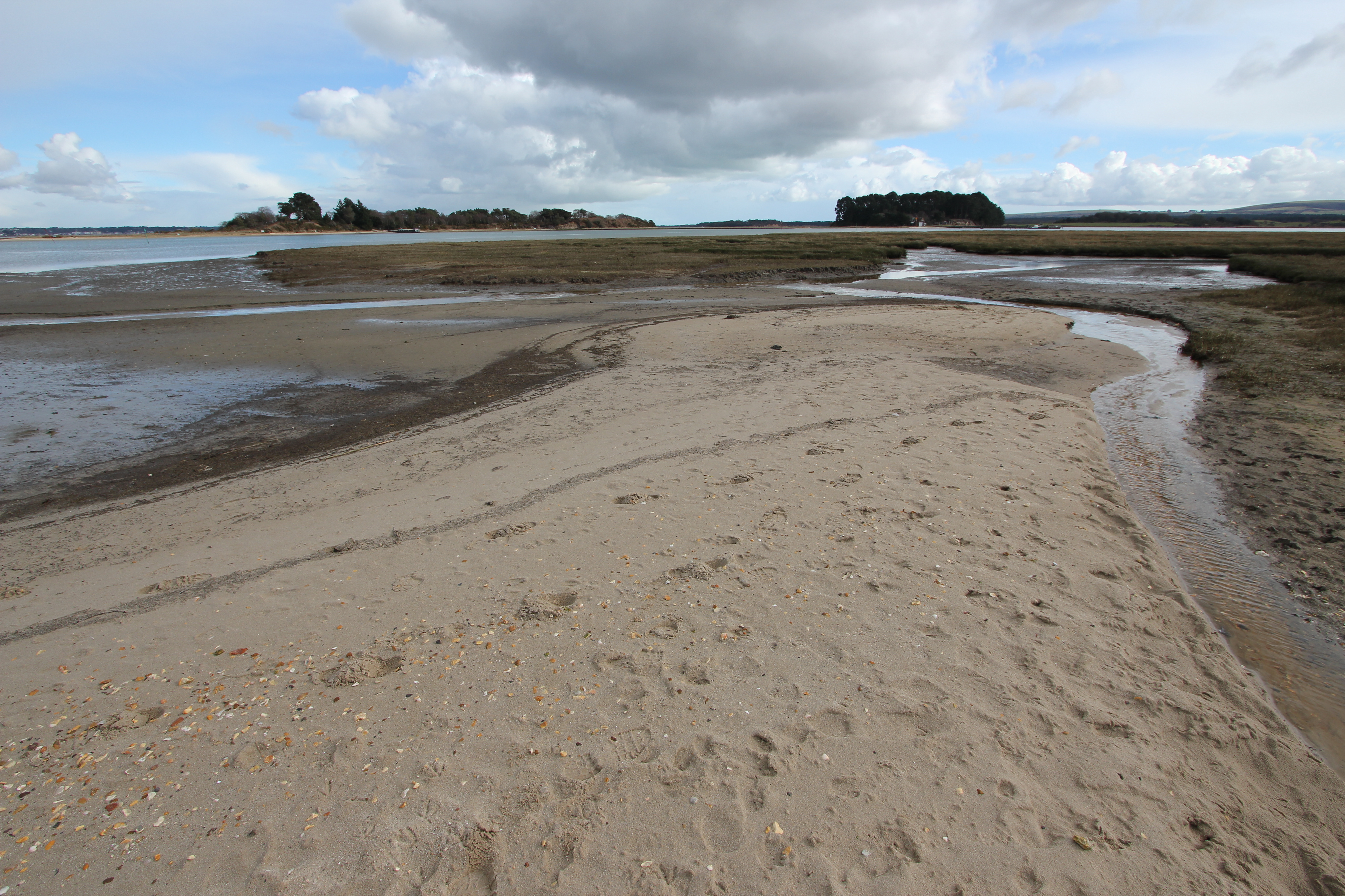
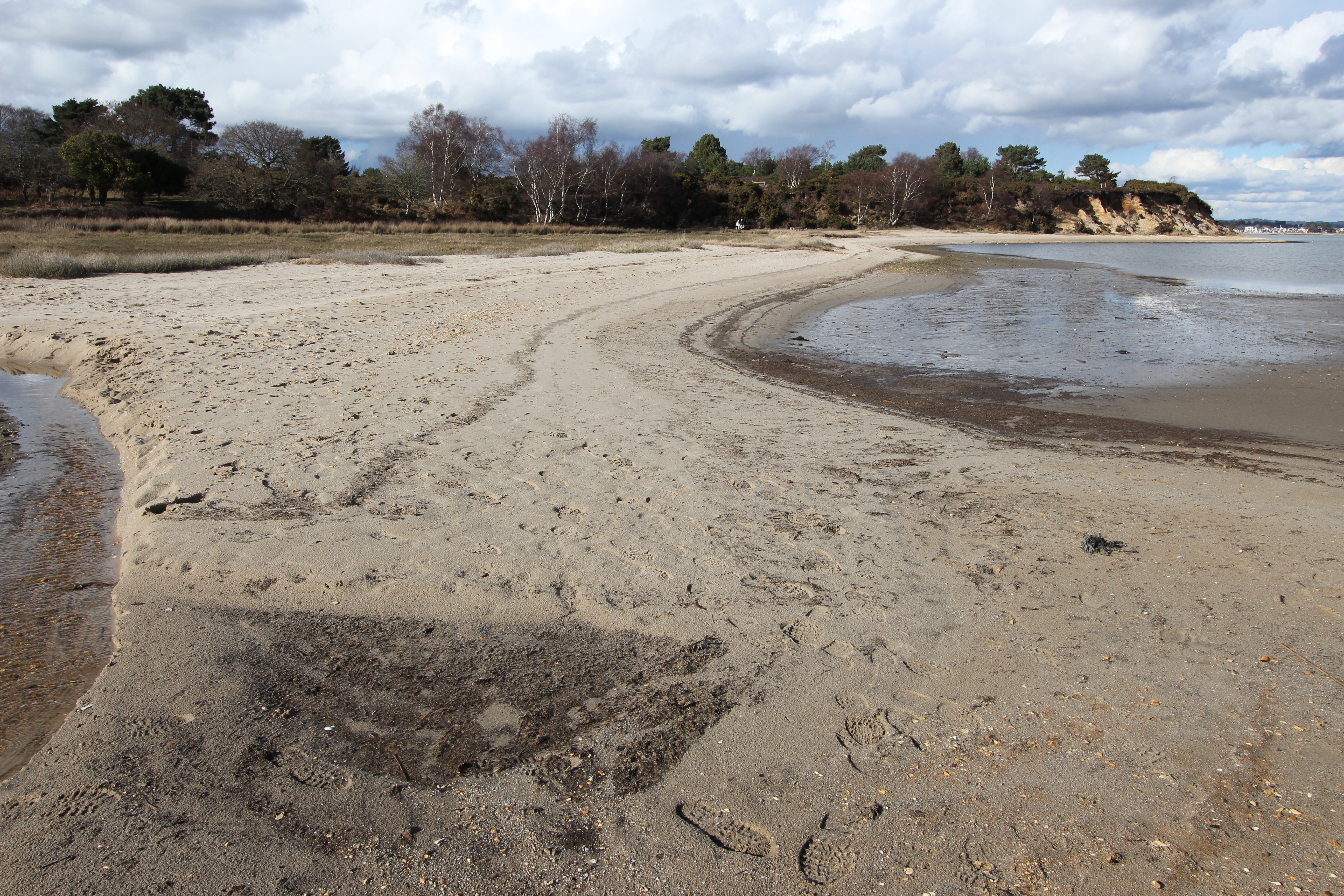
By the early 1920’s S. anglica covered over 1977 acres (800 ha) of Poole Harbour mudflats, but from the later years of that decade it has died back to a current coverage of about 790 acres (320 ha). This is good news for wading birds such as the Black-tailed Godwit (Limosa Limosa) which can now be seasonally found in good numbers around Arne. Although this spit currently remains stable, grazing and trampling damage by the local Sika deer population has been a concern.
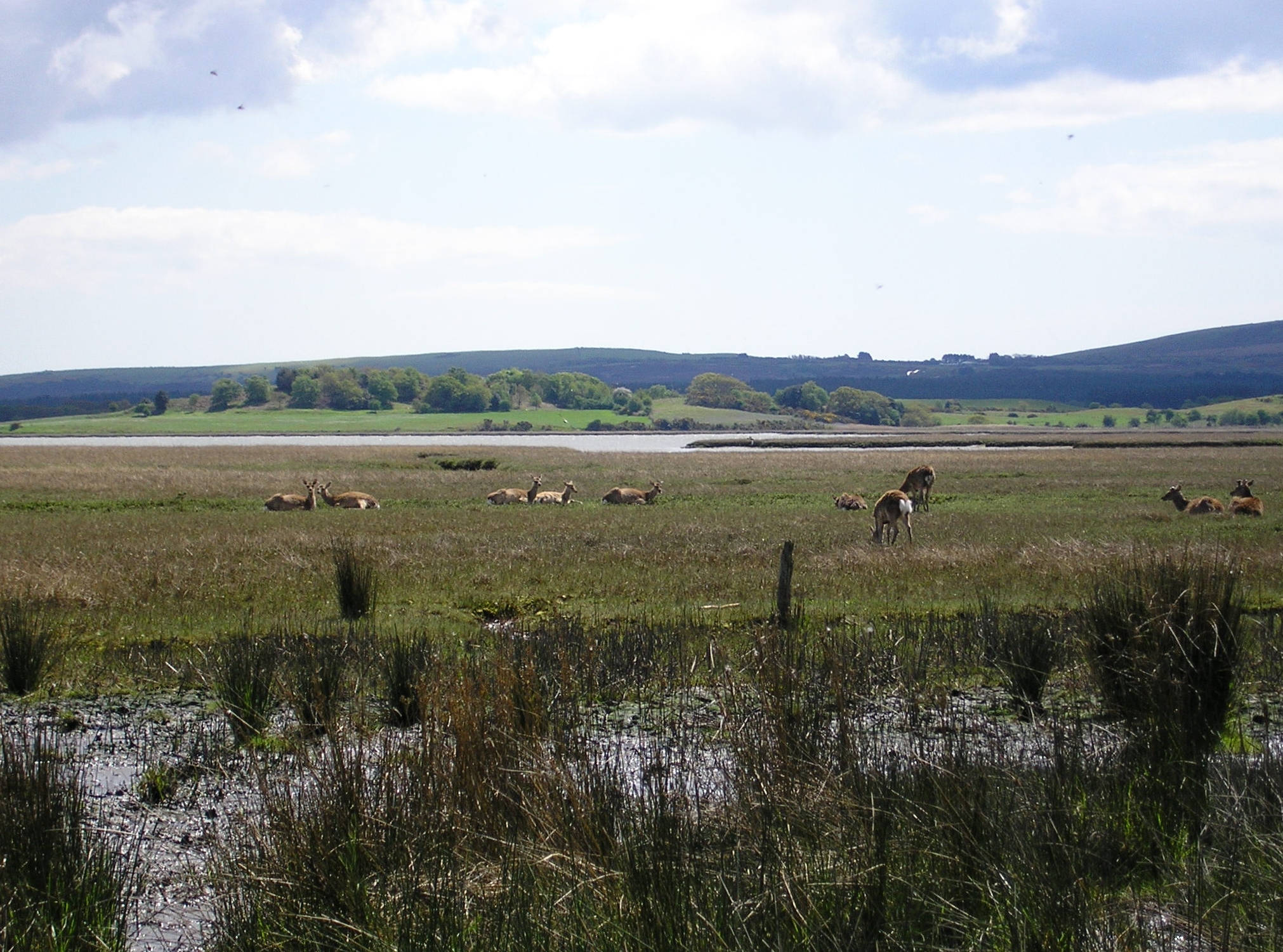
The Sika deer of Arne were originally escapees from Brownsea Island who established themselves in the area after swimming ashore. The Arne herd size has been controlled in recent years due to over grazing and trampling damage, and now numbers around 200 individuals. You’re highly likely to see Sika Deer during any visit to the reserve, and if you’re lucky possibly one of the white ones.

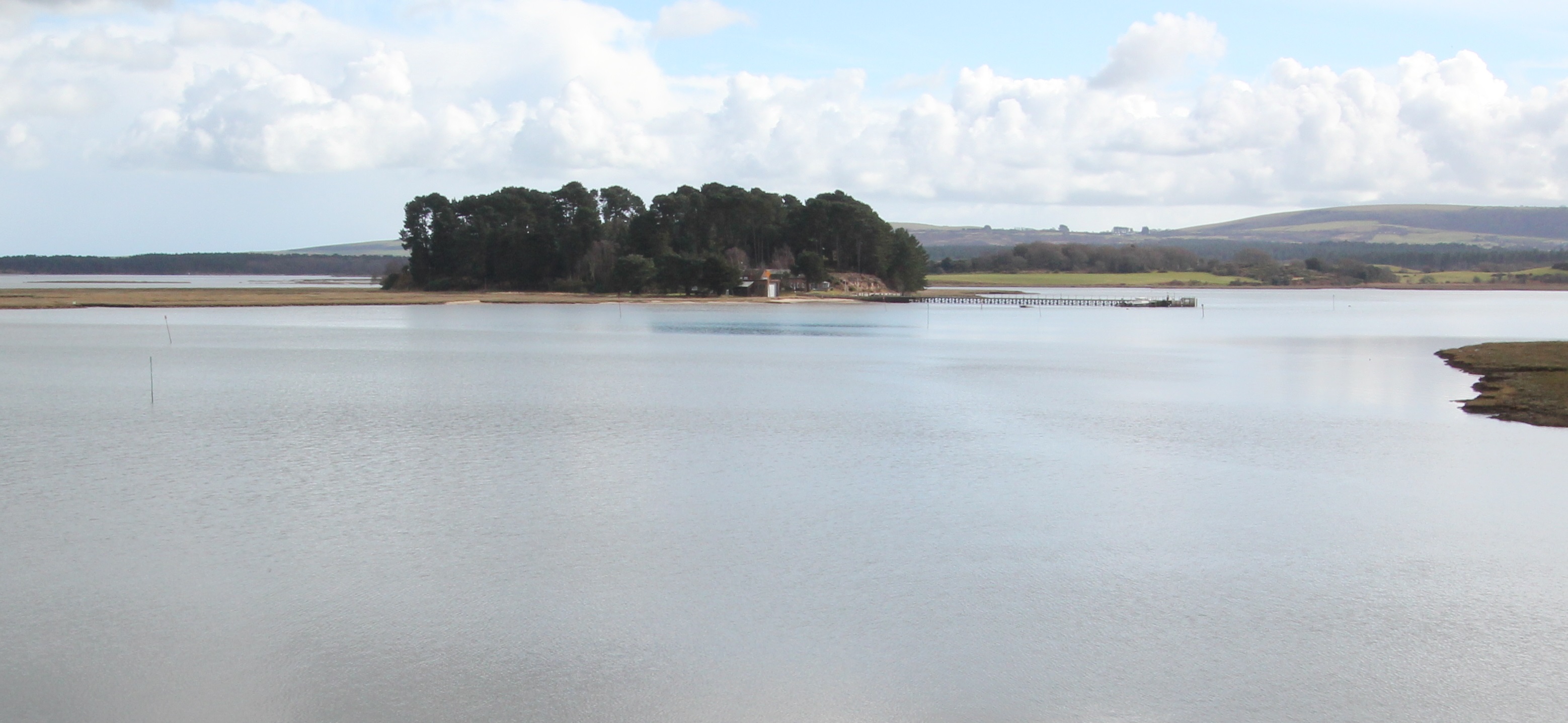
It is usually uninhabited, with no buildings or planning permission, but in the mid-1950’s master potter Guy Sydenham moored a converted WWII motor torpedo boat, the MV Oklahoma, at Long Island with the permission of the historical owners, the Rempstone Estate. Setting up home there with his wife Joan and newly born son Russel Arne, he built a wheel and kiln to work with a seam local Purbeck blue clay (ball clay) between commuting to work at Poole. His son continues the family tradition at Newbarn pottery.
For many years visitors would haul up in canoes and kayaks or small tenders from the many pleasure boats that stop in the Wych anchorage.
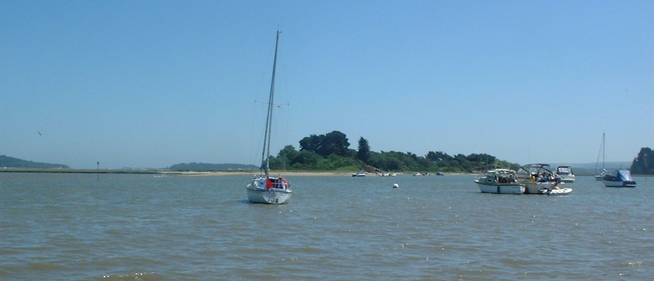
In 2007 Rempstone closed Long Island to public access in anticipation of its sale, and a temporary helipad was marked out on the SSSI protected island to fly prospective buyers in. After the 2009 failure of a legal appeal to have historical use declared as the basis for establishing a formal public right of way, Long Island was bought in 2010 by local house builder Dave Wyatt for a reported sum of around £3 million.


To the south of Long Island, separated by only the narrowest of channels through the saltmarsh, the 15 acre (6 ha) Round Island is also privately owned.

The northern spit
Arne’s other beaches
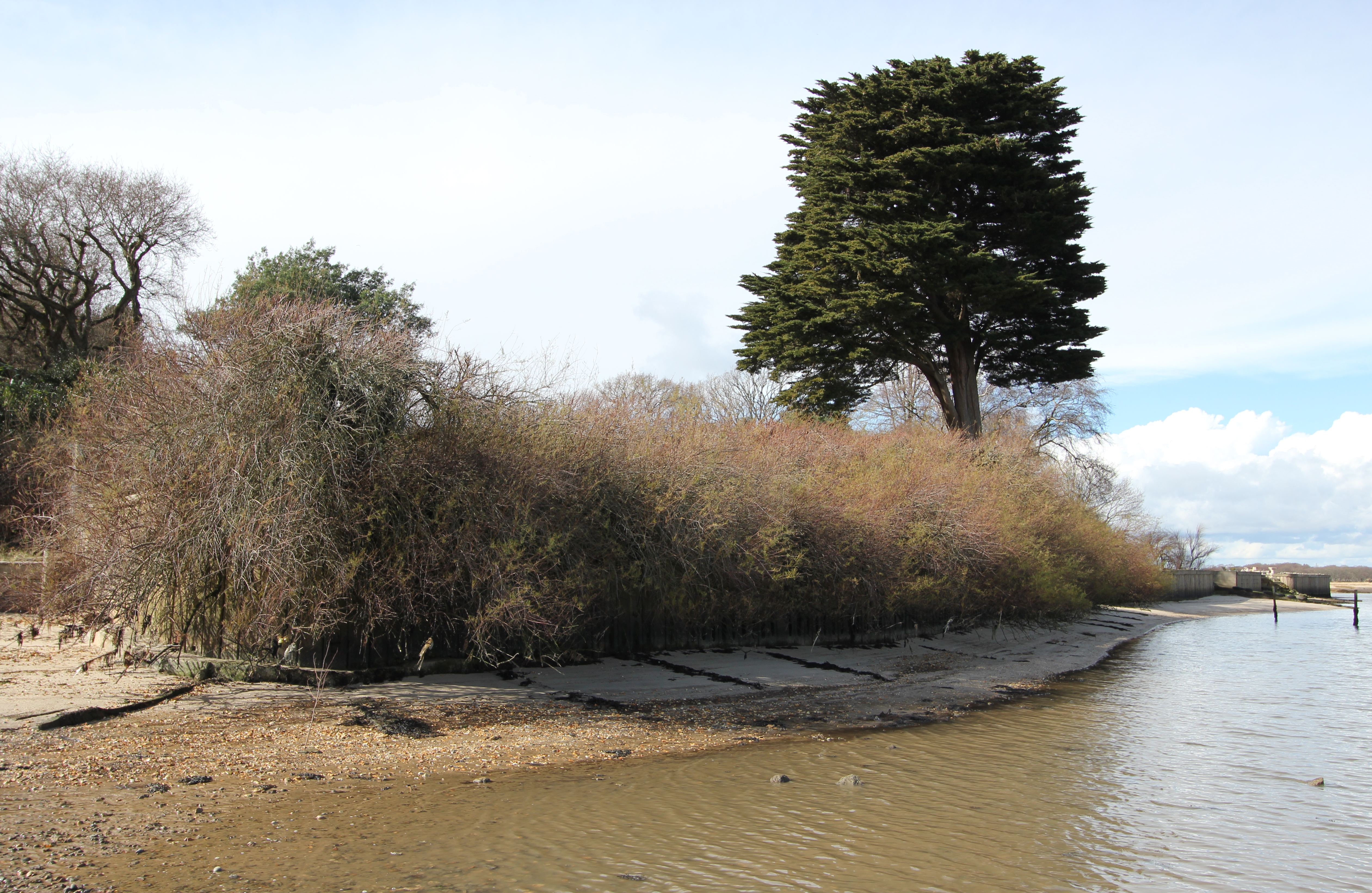
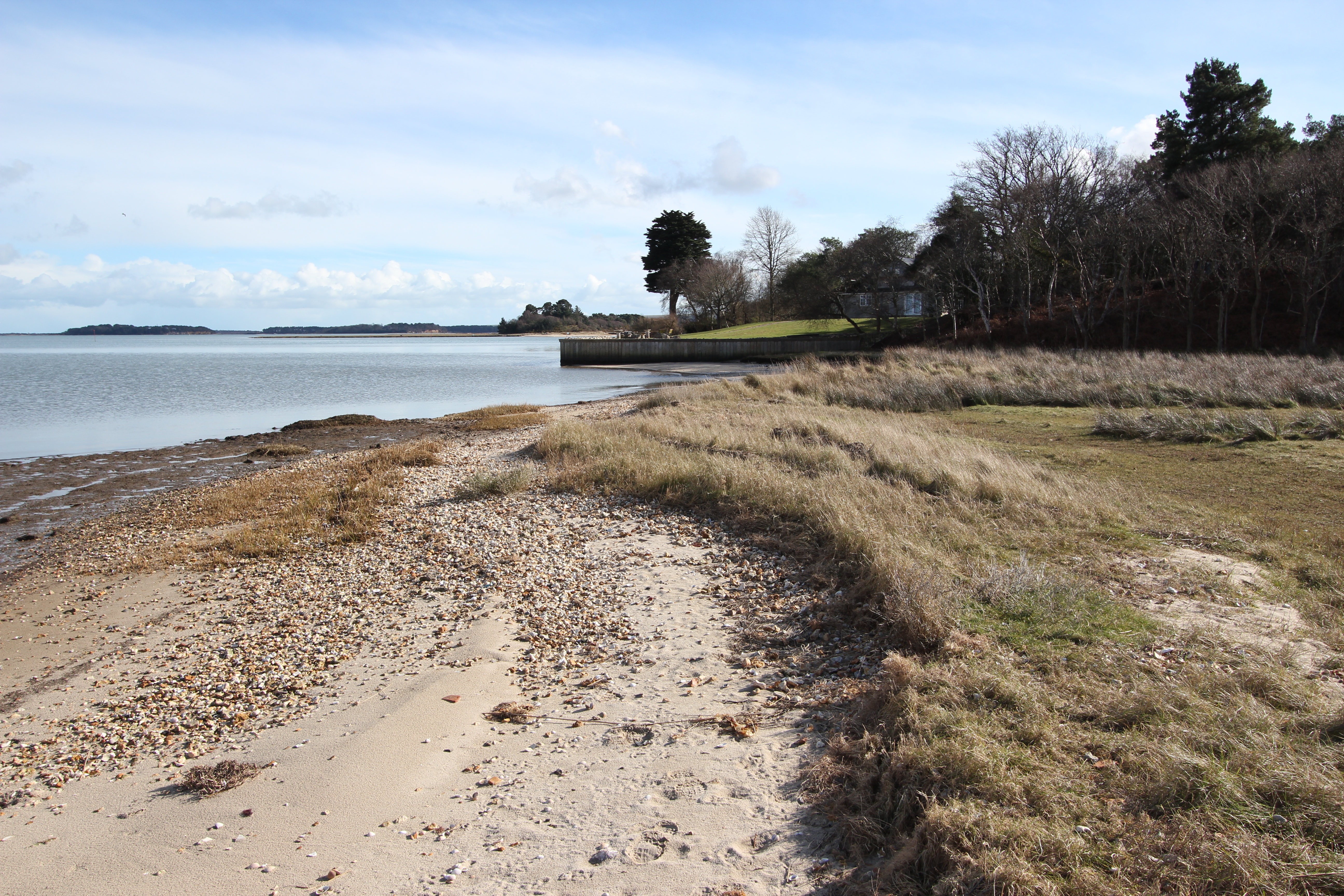
There’s a second line of slim beach frontage intermittently running up the western edge of the peninsula from Hyde’s Quay and Turford, before gently arcing around past the northern crest of Arne Peninsula from Russel Quay in the west to Gold Point in the east, and on round to Patchins Point.
As noted on the earlier referenced mapping, these beaches are all the product of littoral drift of material supplied by the cliffs along the west of the peninsula.
I’m not sure if these mostly contiguous stretches have additional individual names, but they are much quieter than Shipstal. The reason for this is largely one of access – they’re simply more difficult to get to. The official routes currently promoted by the RSPB at Arne don’t include the substantive vehicle track heading north past the old clay quarry which has now been remodeled as a saline lagoon, but that’s another story. For the time being, you might want to consider an alternative method of getting to this peaceful place of escape.
We visited the north shore of Arne a little west of Gold Point briefly in 2007 by taking our small outboard inflatable south across the half mile of water from Lake Pier in Hamworthy. Small craft crossing the channel here might want to consider first heading due south towards Gold Point along the eastern limit of the designated waterski area. You need to arrive during a reasonably high tide level in order to avoid the mud at low tide (in an outboard you may have to raise the motor and row your way inshore to the beach).
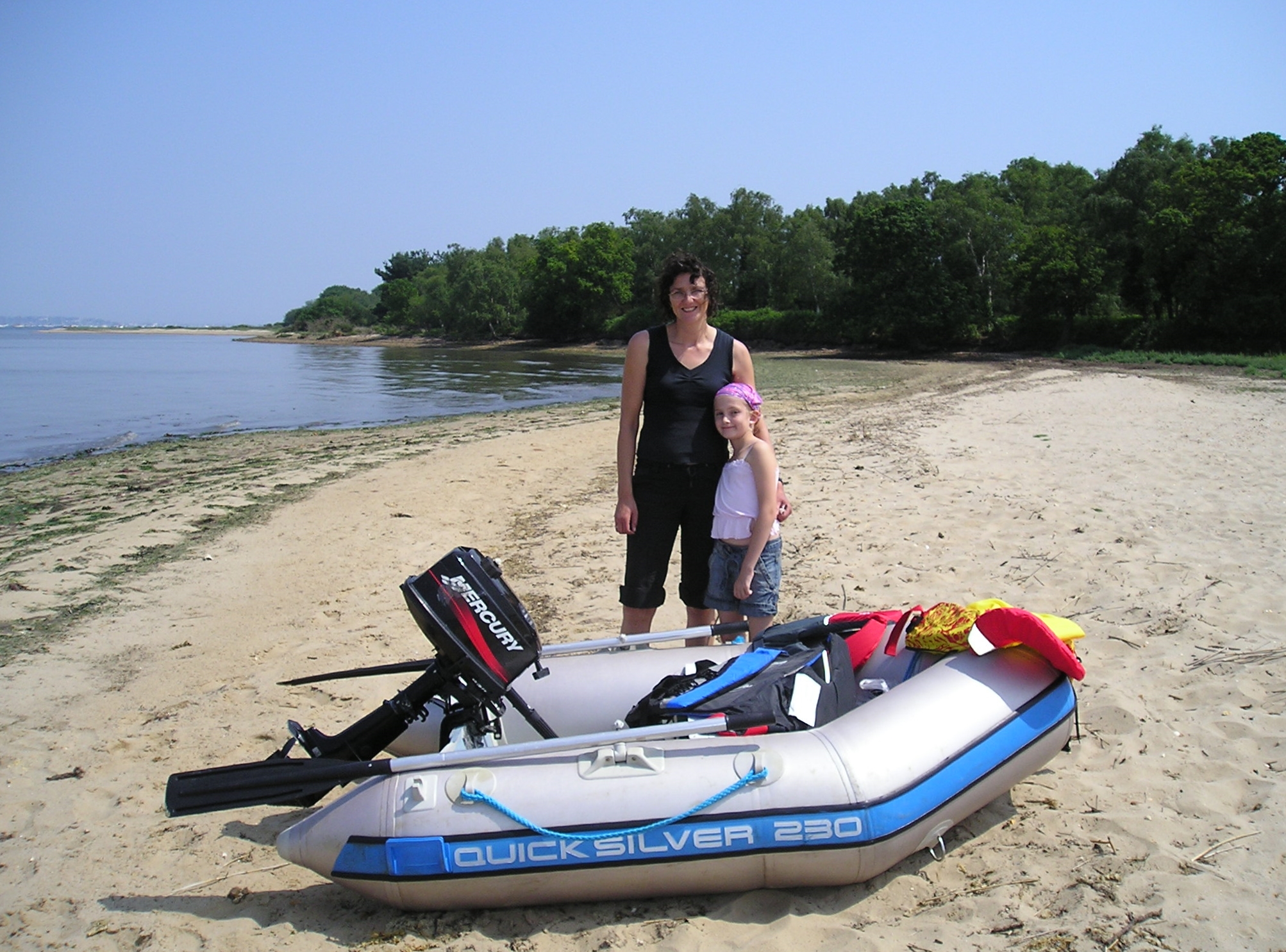
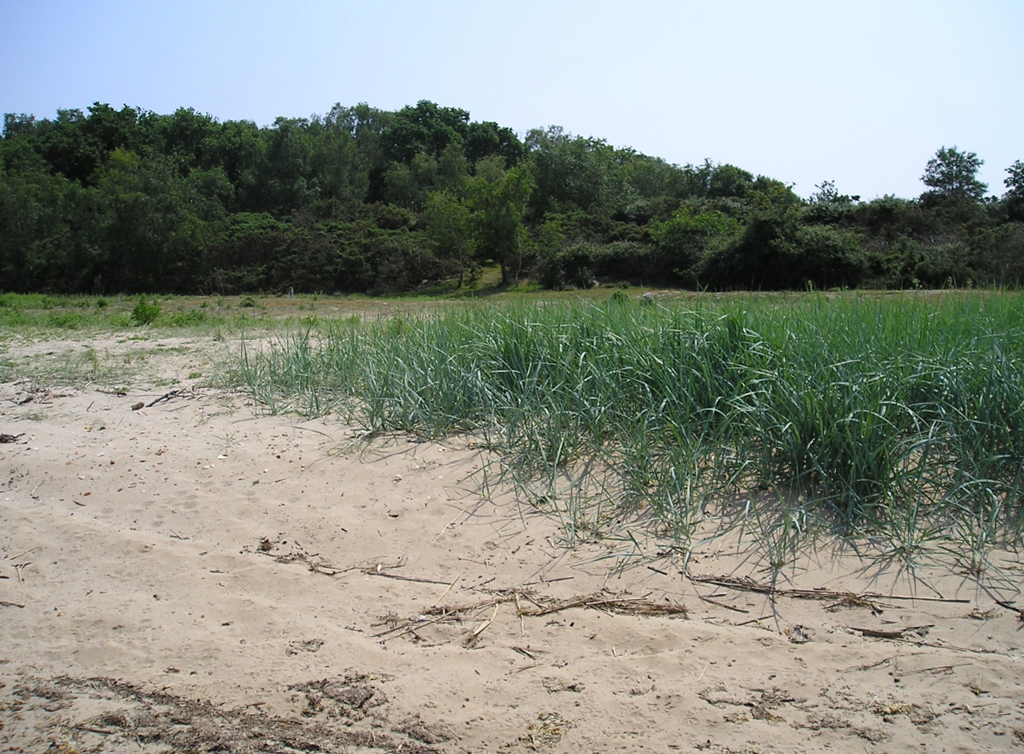
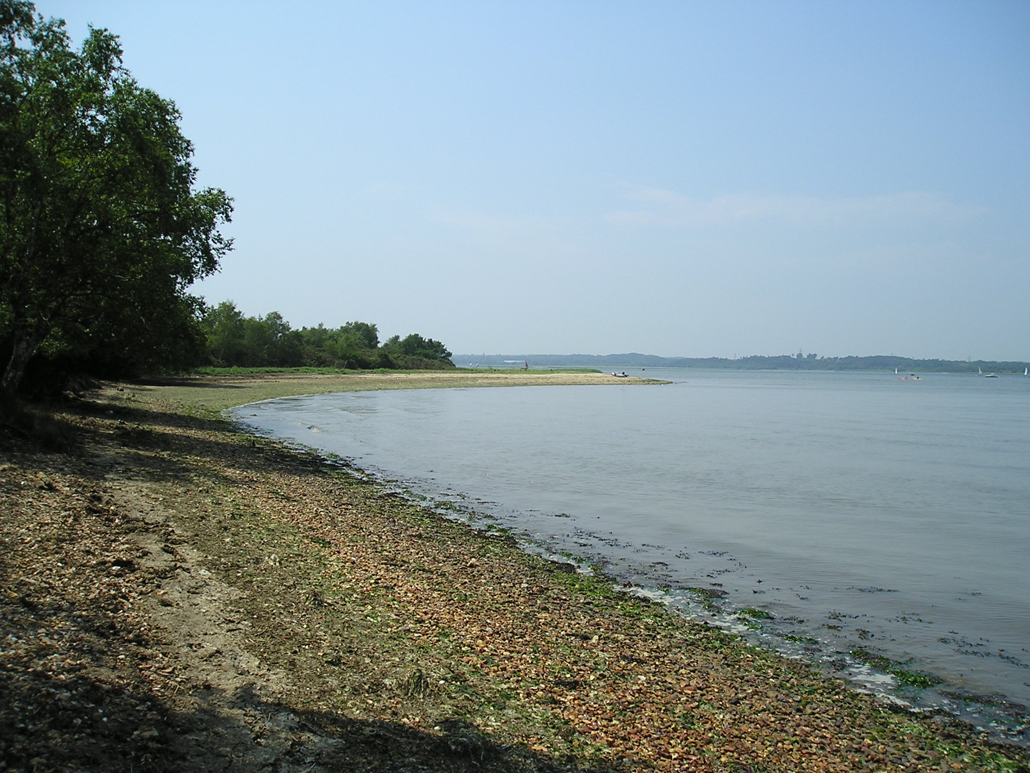
There’s an account of an unintendedly slightly longer visit to Gold Point from 2009 on the canoeists’ forum Song Of The Paddle,
If you prefer to stay standing to get across to Arne, SUP Explorer provides a suggested route that encompasses both the beaches of northern Arne and a trip to Shipstal with some nice close-up images of paddling around Long Island and Round Island.
Should you find yourself to the west of our landing, in the vicinity of Russel Quay, you might find a few dinghies belonging to Sherborne School Sailing Club stored on the shore just to the north east of the point…
![Approaching Russel Quay in April 2015 [© Copyright Peter Trimming and licensed for reuse under this Creative Commons Licence].](http://www.afewmilesmore.com/wp-content/uploads/2016/04/Geograph-4438389-by-Peter-Trimming.jpg)

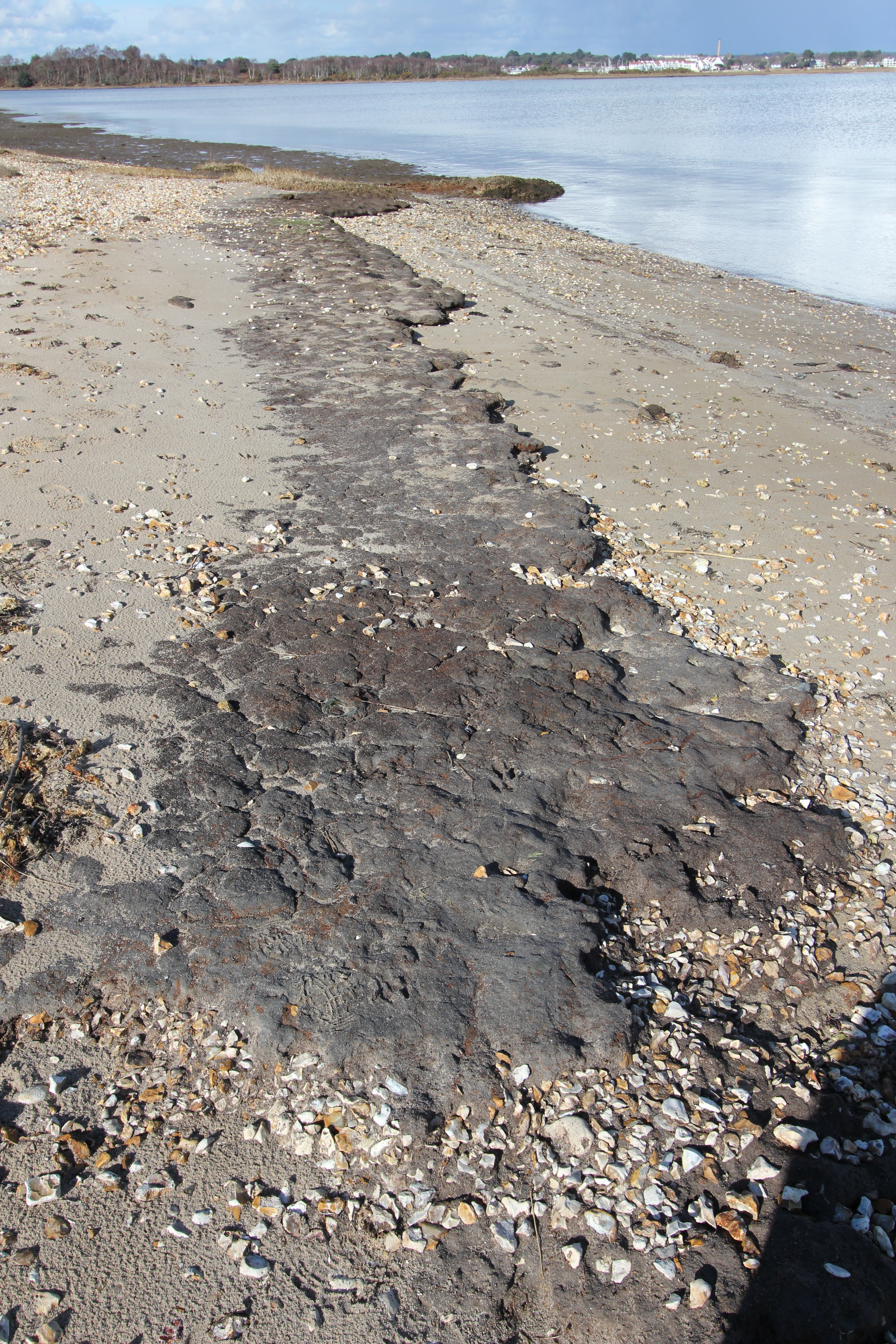
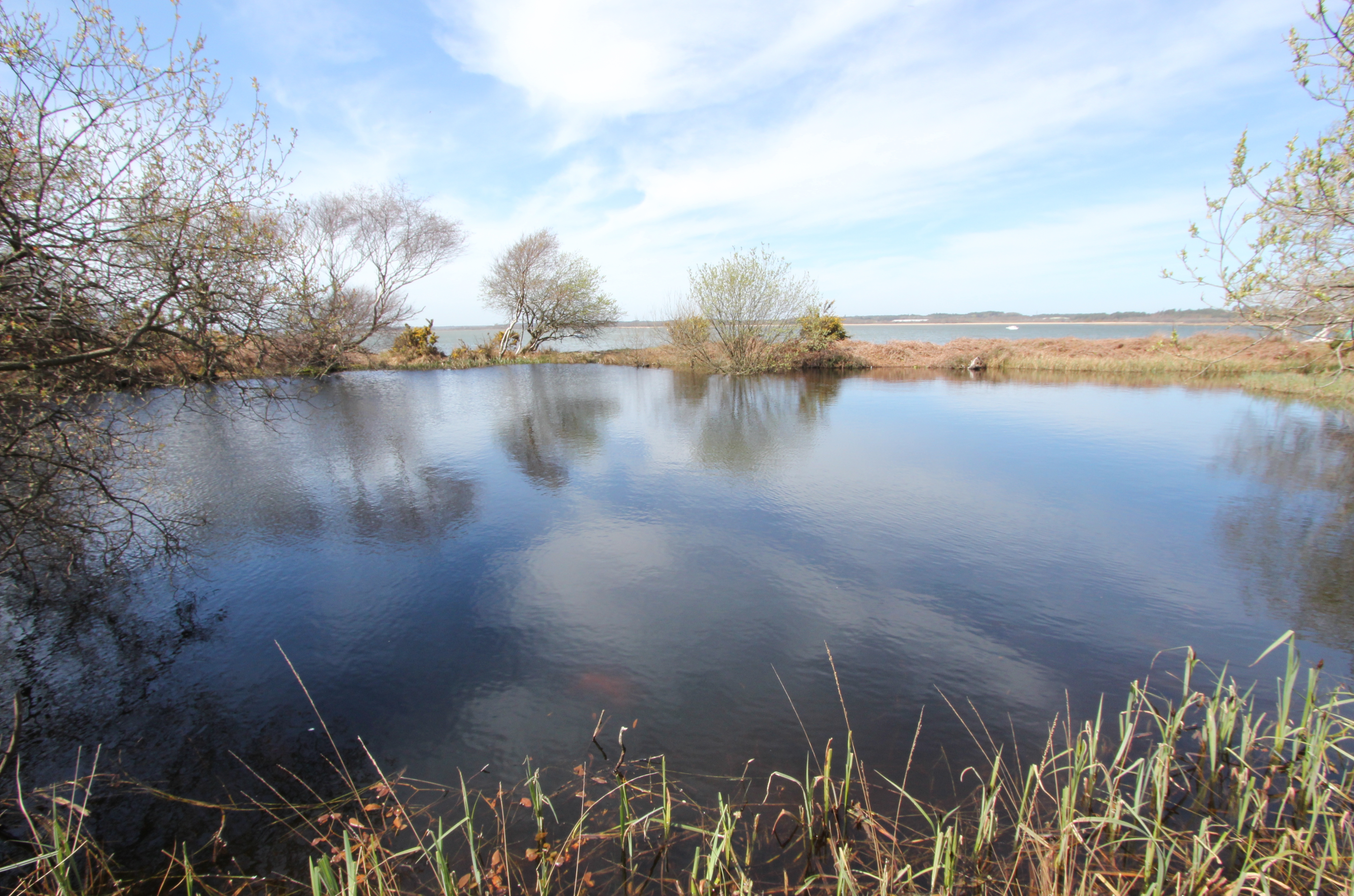
…but you’re unlikely to find much evidence of its industrial history. A “Report of the Commissioners Appointed to Inquire Into the Municipal Corporations in England and Wales” (Hansard 1835) stated that “at all tides vessels of several hundred tons can anchor at Russell [sic] Quay”, but, although still marked as a pier on the bottom left of the 1902 Ordnance Survey map, “An archaeological investigation of Russel Quay, Poole Harbour” (2004) by Gordon Le Pard reported only finding “the remains of a timber structure and scatter of nails on the northern shore of the Arne peninsula, identified as a post-medieval quay, probably of eighteenth- or nineteenth-century date, and associated barge debris.” For ‘remains of a timber structure’ read ‘the short rotted stumps of a few posts’, but at least it still provides an indication of the direction of the former pier for a bit longer:
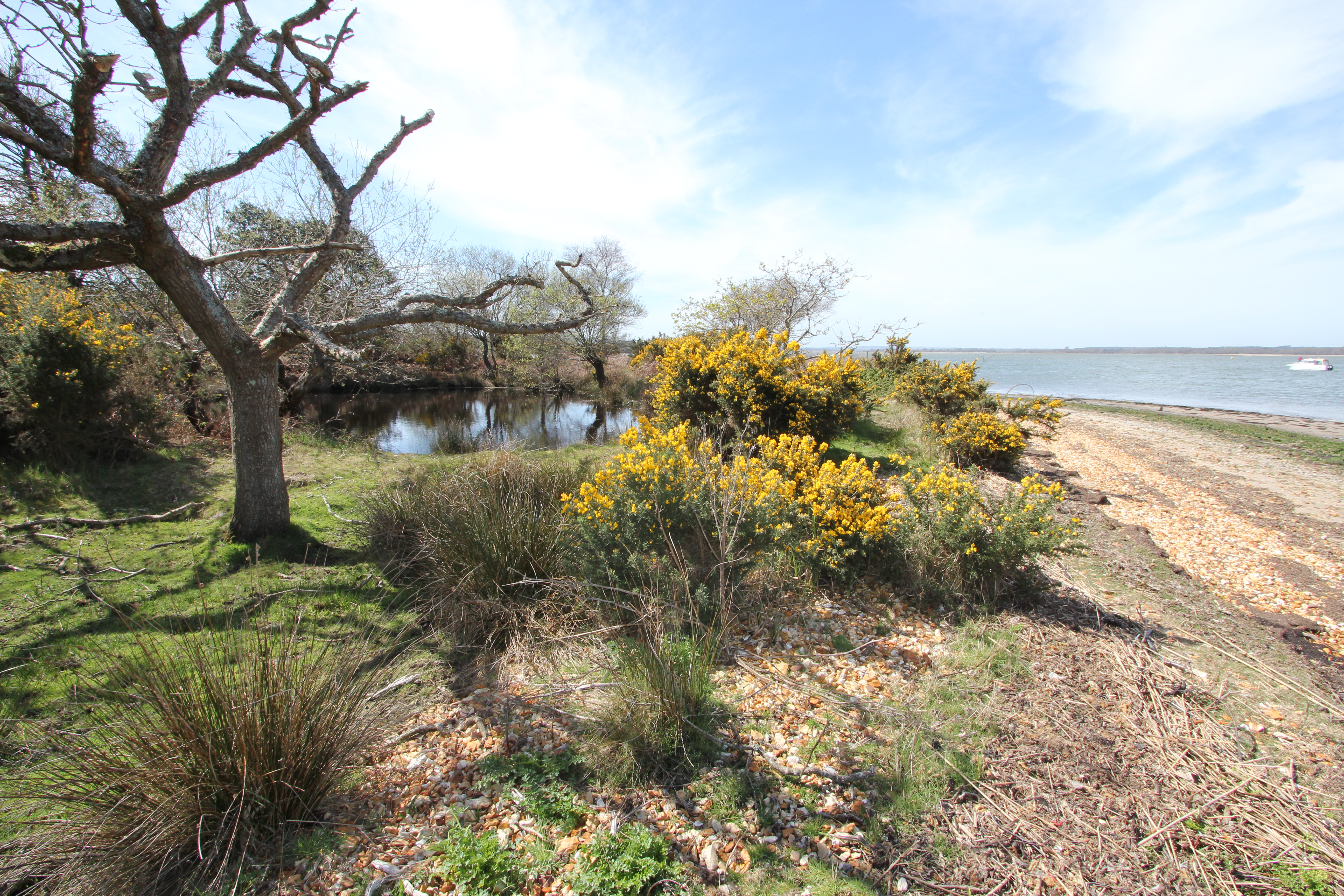
It’s also worth remembering that another slightly larger vessel moored at Russel Quay in 1941, when a group of men gathered here to prepare themselves and a fishing ketch called the “Maid Honor” for special seaborne operations against the Axis powers. While accounts of target practice against the cliffs, birdwatching, and dinner in Wareham might sound rather relaxed, this was the SOE Maid Honor Force/62 Commando group (later the Small Scale Raiding Force (SSRF)) that would first prove themselves through Operation Postmaster.
![[L-R] Maj. “Gus” March-Phillips, DSO, OBE, MBE; Major J Geoffrey Appleyard, DSO, MC; Captain Graham Hayes, MC; (then) Pte. (later) Maj. Anders Lassen, VC, MC & Two Bars. All of these men gave their lives in the fight for their countries’ freedom before the end of the war.](http://www.afewmilesmore.com/wp-content/uploads/2016/04/SSRF.png)
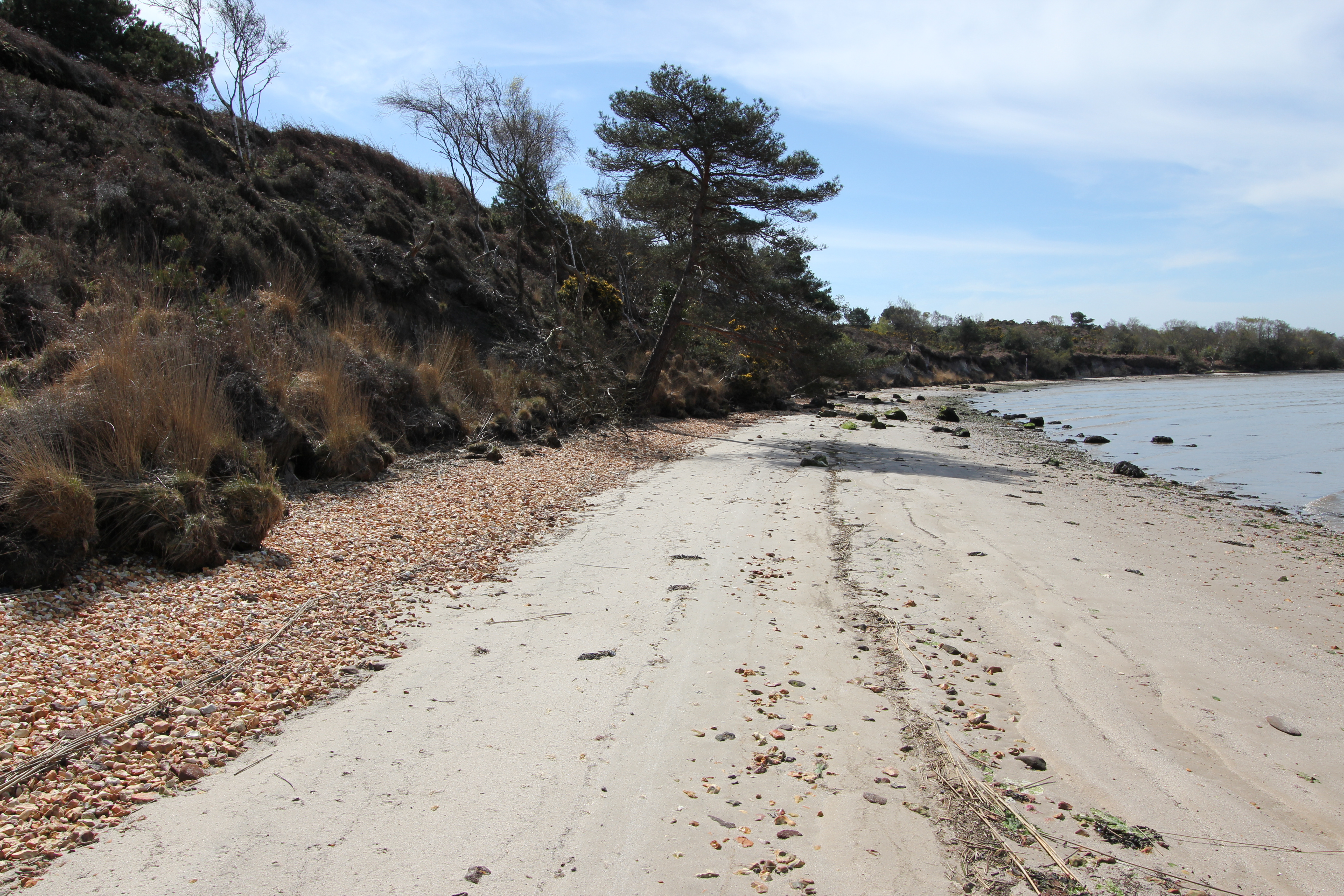
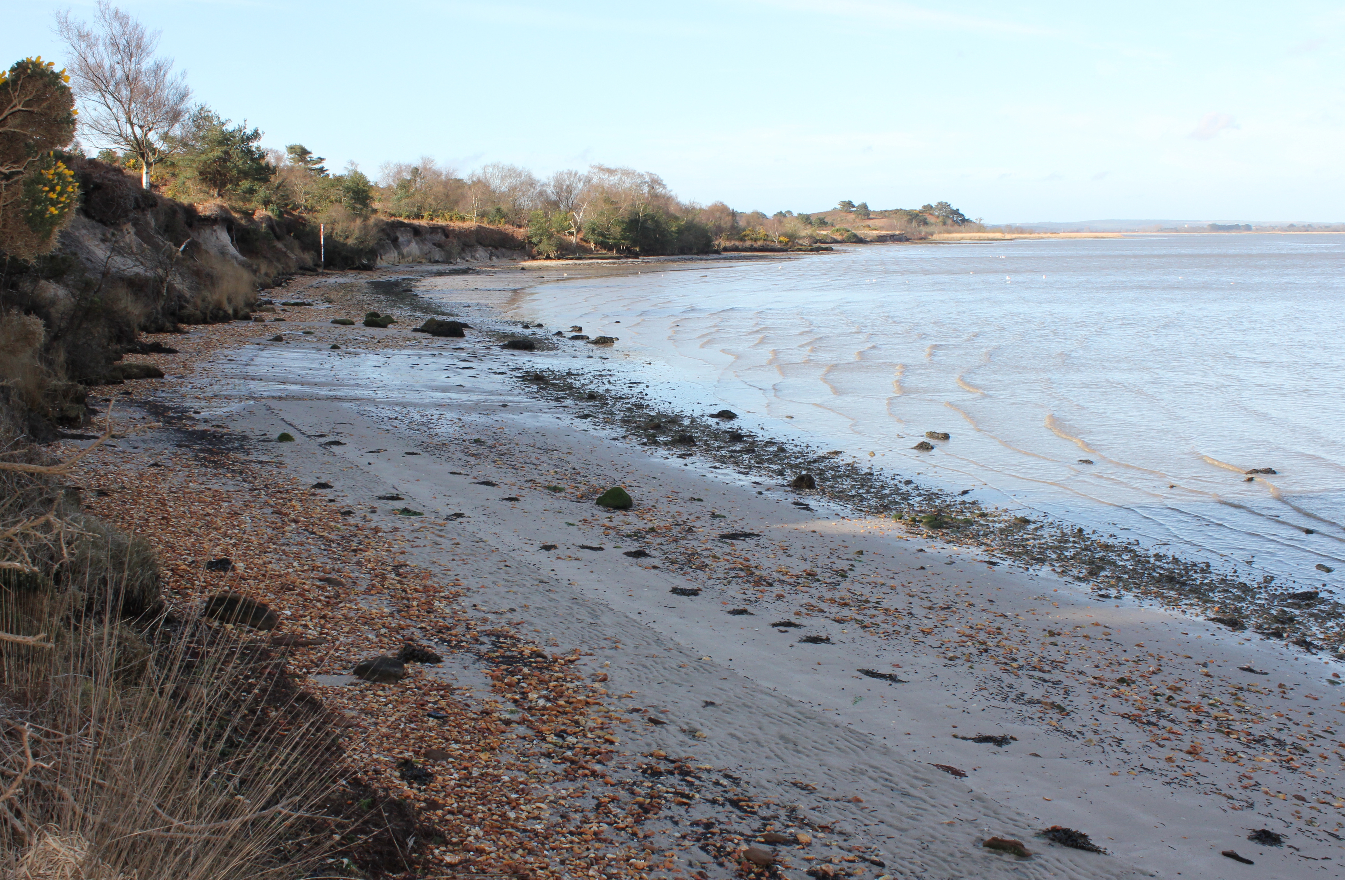
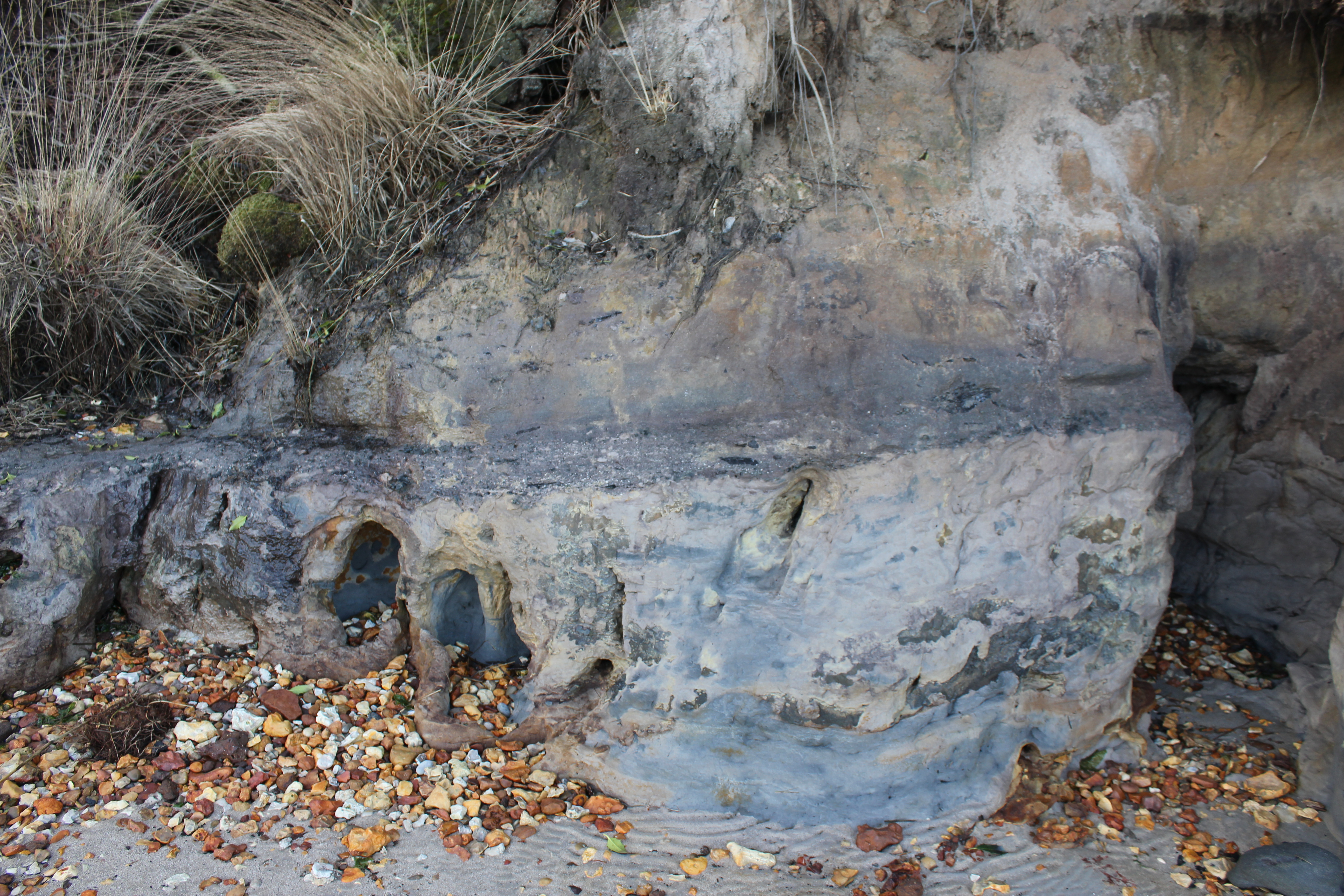
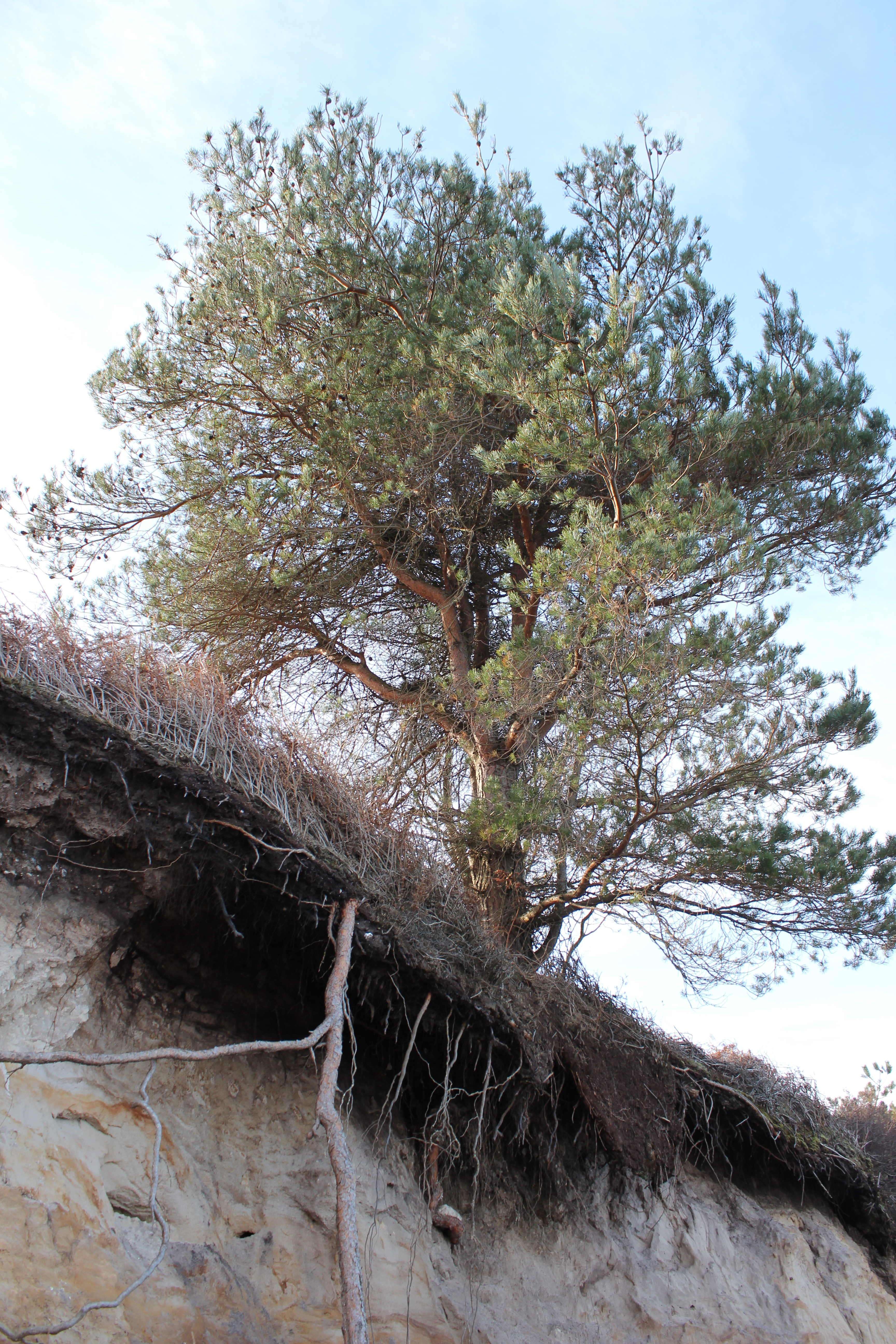
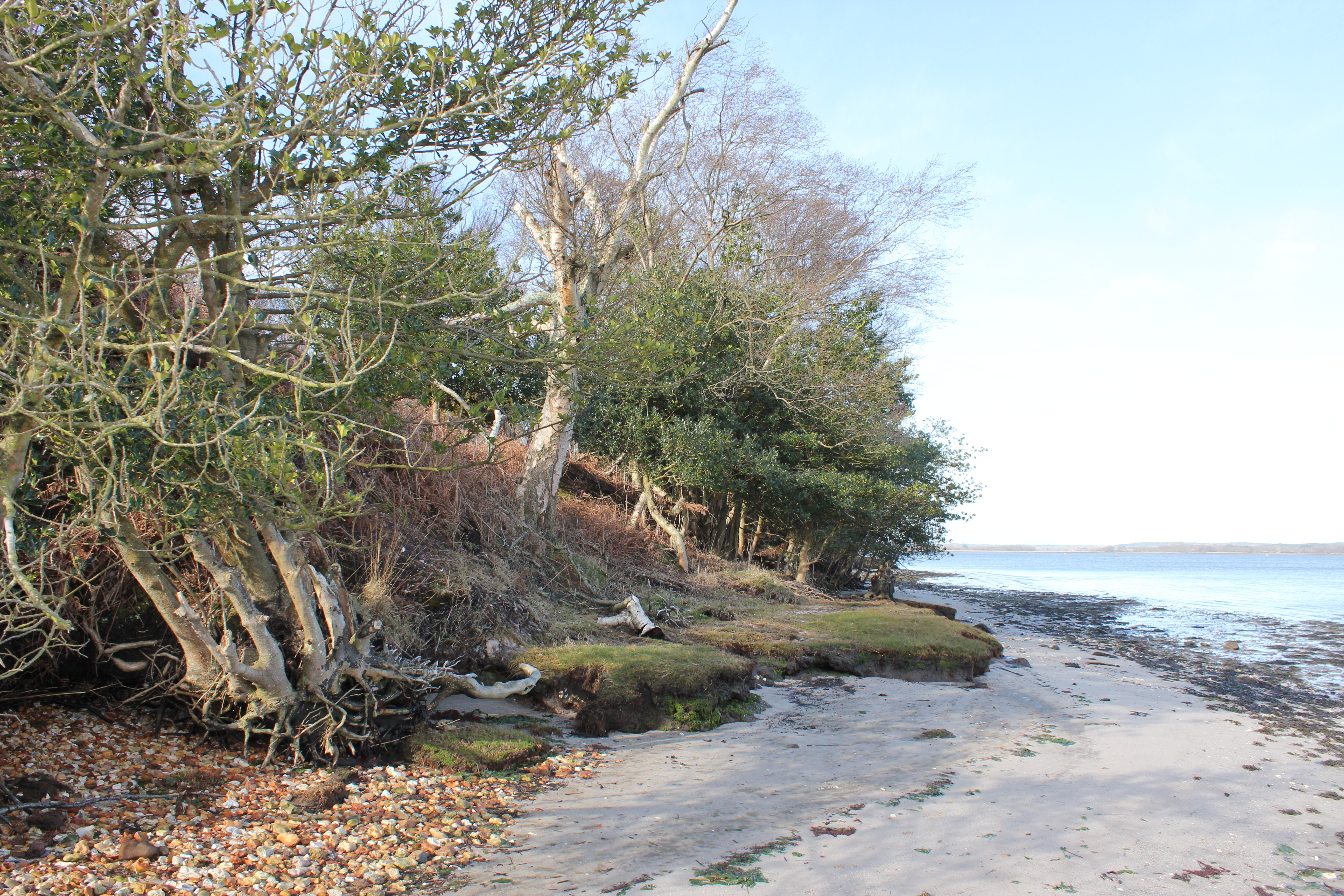
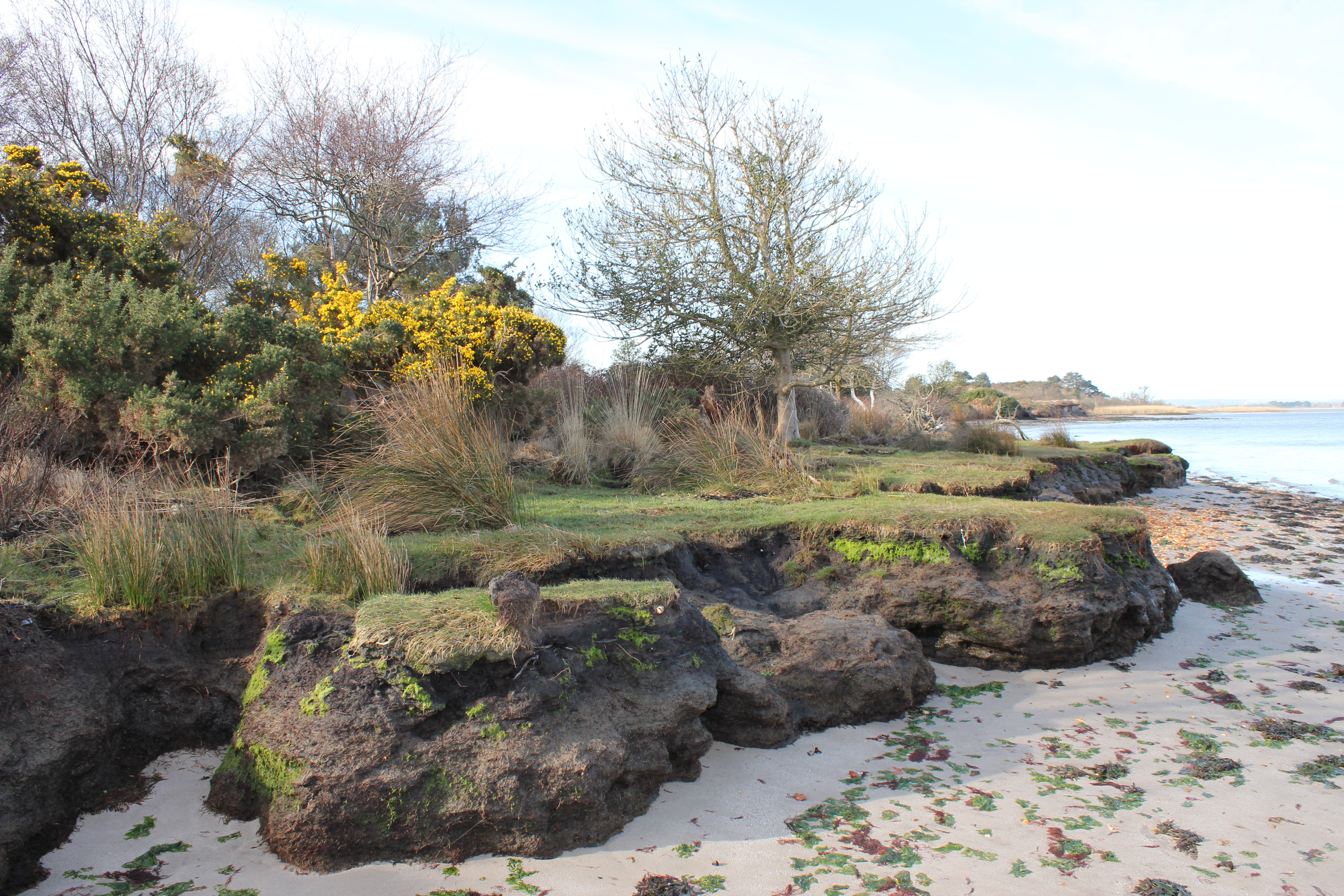
A year after our visit by boat a more intrepid explorer travelled over from Lake Pier to Gold Point by canoe, and then headed south west down the coast of western Arne in search of a historically recorded dwelling. This account has plenty of great photos of the comparatively under-reported shores of north and west Arne.
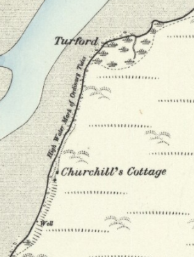
Although Redcliff Atwell is mentioned in the above referenced account, the location of a Boundary Stone here is not. The stone was set as a marker to define the extent of the admiralty jurisdiction in Poole Harbour…
“which had a boundary not very accurately defined; but it comprehended certain points which are perfectly well known. It […] extended in the first place to a spot called Redcliff Attwell, three or four miles from Poole, up the Wareham Channel. […] The perambulations of the extent of the admiralty jurisdiction were always performed with great ceremony. […] The first perambulation recorded in the volume now extant, took place in 1626, and on this occasion the precise location of Redcliff Attwell was pointed out by one John Odwell […] ‘towards Wareham, and right against a little hill called Rattcliffe Attwell; […] being sett on shore att the sayd Rattcliffe, being a small hill with a bancke adioining to the sea, w’ch bancke next vnto the sea is p’tely bare, without heath on grass vpon it, […and] a certayne spring […] called Attwell’ “
[Source: “The History of the Town and County of Poole” by John Sydenham (1839)].
I have no idea if this stone still exists; one for a future ‘expedition’ perhaps. Similarly, the further coast down to Hyde’s Quay would be interesting to explore, although there are no obvious signs of the location of the eponymous former landing site visible in the aerial/satellite photography I’ve looked at. This is one of the quieter corners of Poole Harbour, but the historical impact of what Hyde’s Quay represented in the 18th century has been of far reaching and long lasting significance down to the present day.
Thomas Hyde was a merchant who had grown wealthy on the Newfoundland cod and oil trade which was dominated by Poole seafarers in the mid-18th century. Like his grandfather and father before him, he would become the mayor of Poole (in 1764), but in 1760 he had struck two important business deals.
The first was with one of the three major Purbeck landowners of the time, John Calcraft (in 1757 he had bought the Rempstone Estate), with whom he negotiated the rights to mine Pipe Clay (or Ball Clay as it would become known). The second was with Josiah Wedgwood, to supply 1,400 tons of clay per year for the Staffordshire potteries. The wealth enabled Hyde to purchase a Poole High Street mansion and Dunshay Manor as a retreat, but it was not to last, and he is reported to have gone bankrupt in 1792, three years before his death.
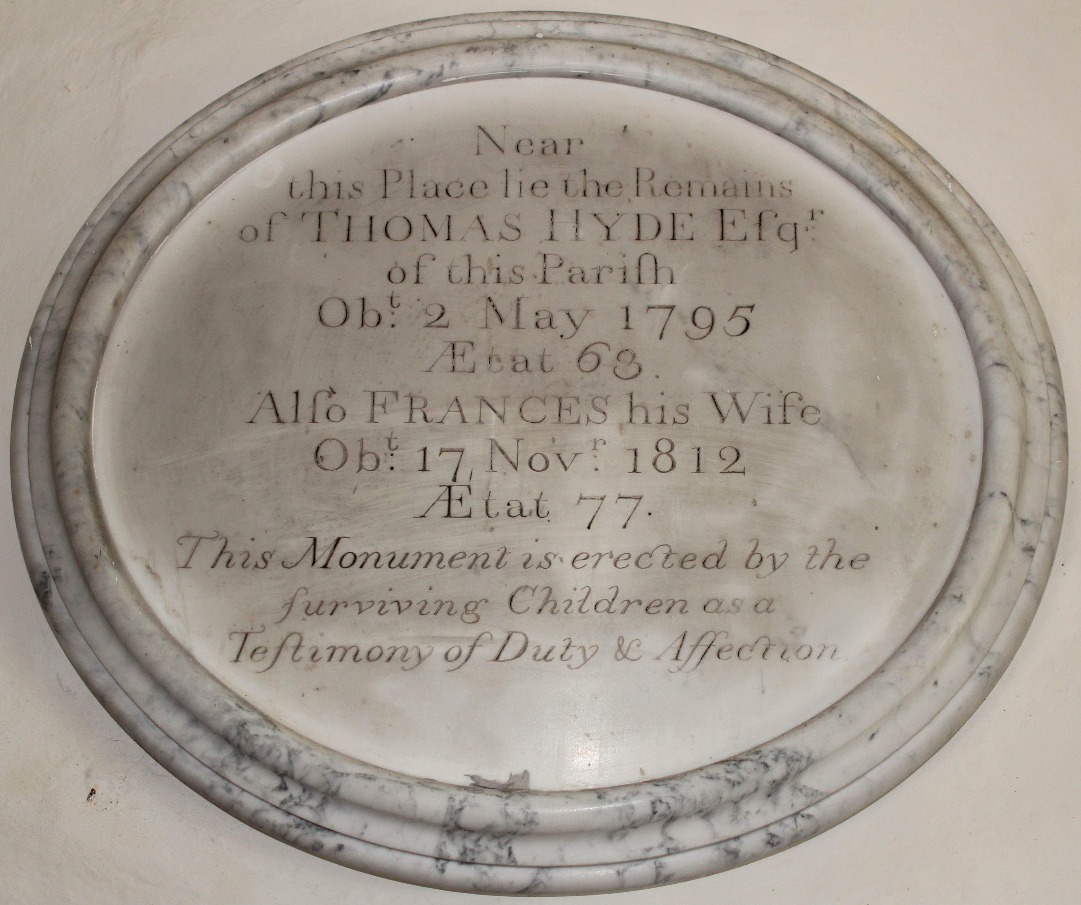
The Arne clay substantially contributed to Wedgwood’s ability to create the fine ceramics that built his company’s name and fortune. The combined share of this money inherited by his grandchildren Emma Wedgewood and Charles Darwin, cousins who married in 1839, provided Charles with the time and financial resources that would allow him to formulate his theory of evolution and write “On the Origin of Species”.
However you get there, the beaches of Arne will never be a waste of your time. The diversity of the surrounding landscape, the wealth of rare flora and fauna, and the unheralded history of the peninsula offers a setting which, once experienced, will tempt you to return to these shores almost as soon as you leave.
More online information
Family accommodation at Arne:
Having stayed at neither of these accommodations I can’t vouch for them, but if I were to stay in the area School Cottage and the Old Pottery Studio look to be ideal family choices for Arne. You’d need to book ahead though.
Boat rental:
If you fancy some time on the water a range of boats are available from Poole Boat Hire or Wareham Boat Hire.
